Hallyards

Settlement in Peeblesshire

Scotland

Hallyards

Forest corner, Hallmanor Forest The square is mostly a shallow heather bowl, but also contains a small corner of the Hallmanor Forest.
Forest corner, Hallmanor Forest Credit: Chris Eilbeck

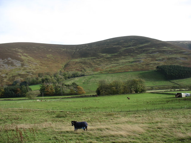
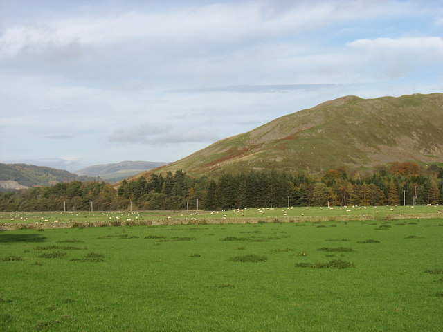
Hallyards is a charming village located in the historic county of Peeblesshire, Scotland. Situated in the beautiful Scottish Borders region, the village is nestled amidst picturesque rolling hills and lush green landscapes. With a population of around 300 residents, Hallyards offers a tranquil and close-knit community atmosphere.

The village boasts a rich history, dating back centuries. It is believed to have been settled during the medieval period, and remnants of ancient buildings and structures can still be seen today. Hallyards is also renowned for its connection to the textile industry, with several mills operating in the area during the 19th century.

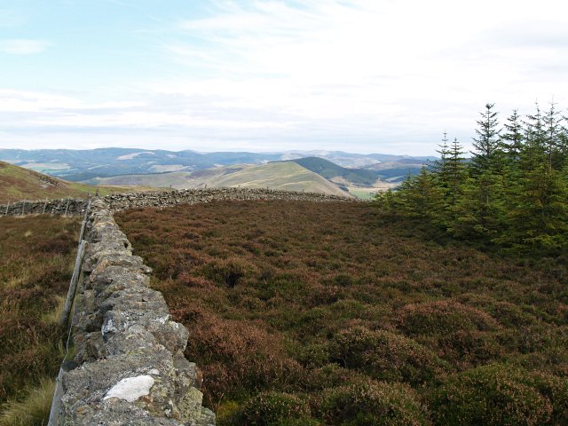
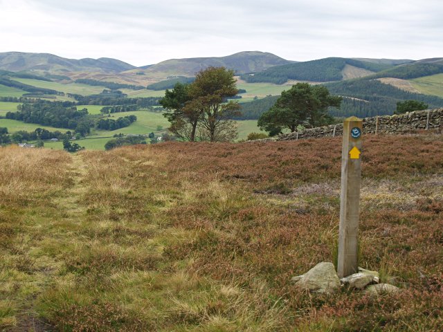
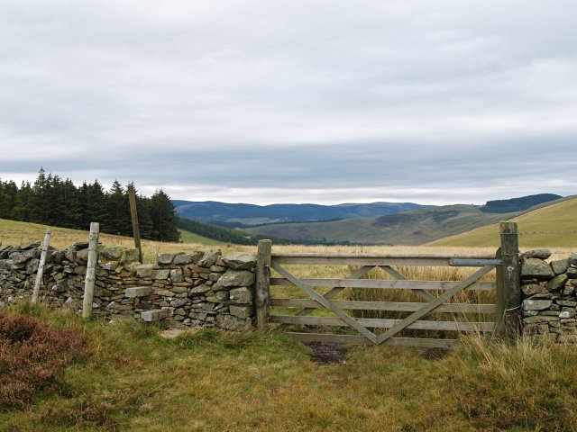
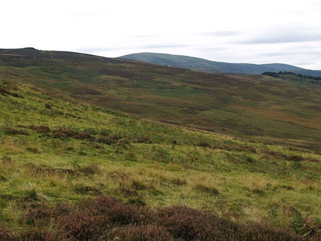
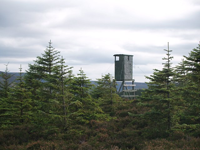
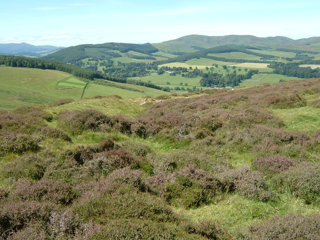
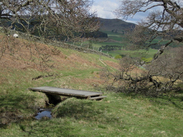
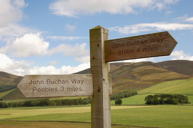
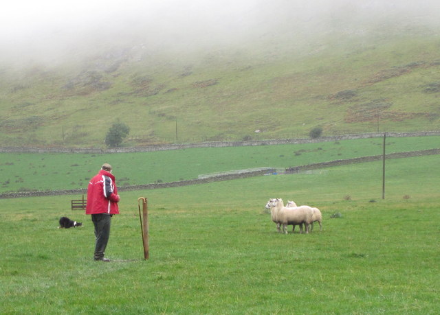
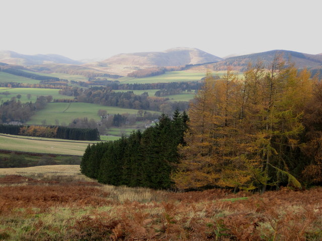
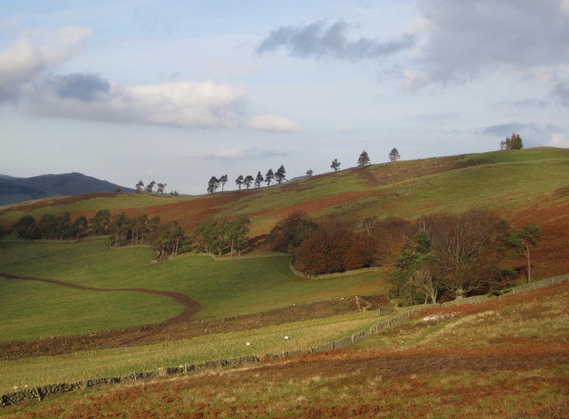
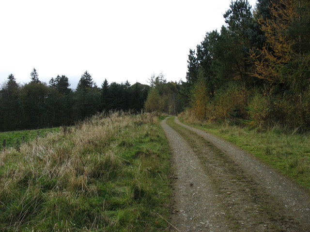
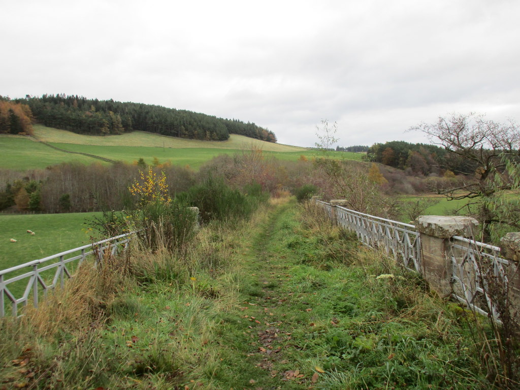
Nature lovers and outdoor enthusiasts will find much to explore in and around Hallyards. The village is surrounded by stunning countryside, including the nearby Elibank and Traquair Forests, providing ample opportunities for hiking, cycling, and wildlife spotting. The River Tweed, known for its salmon fishing, flows close by, offering anglers a chance to cast their lines.

Despite its small size, Hallyards offers a range of amenities for residents and visitors. The village has a primary school, a community hall, and a local pub, where locals and visitors can gather and socialize. The nearby town of Peebles provides additional services, including shops, supermarkets, and healthcare facilities.

Hallyards is an idyllic destination for those seeking a peaceful retreat amidst the stunning Scottish countryside. Its rich history, natural beauty, and warm community spirit make it a truly special place to visit or call home.

If you have any feedback on the listing, please let us know in the comments section below.
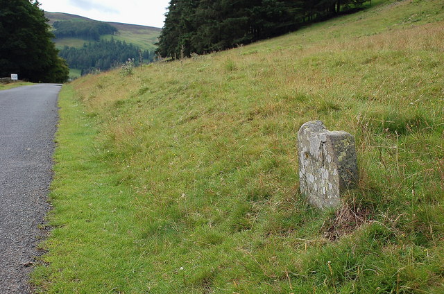
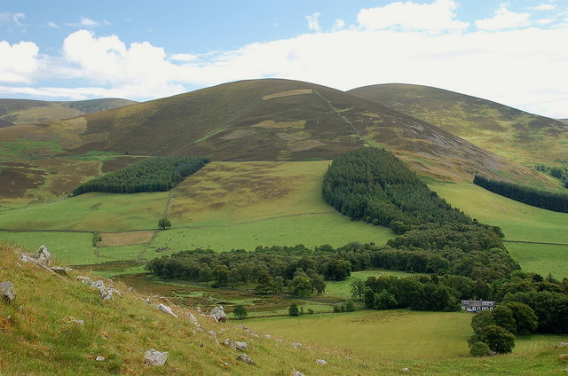
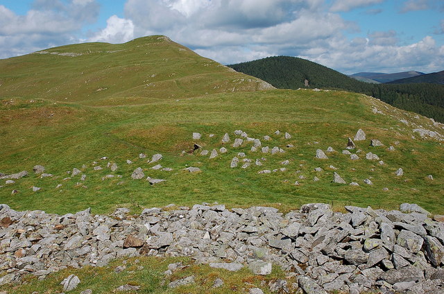
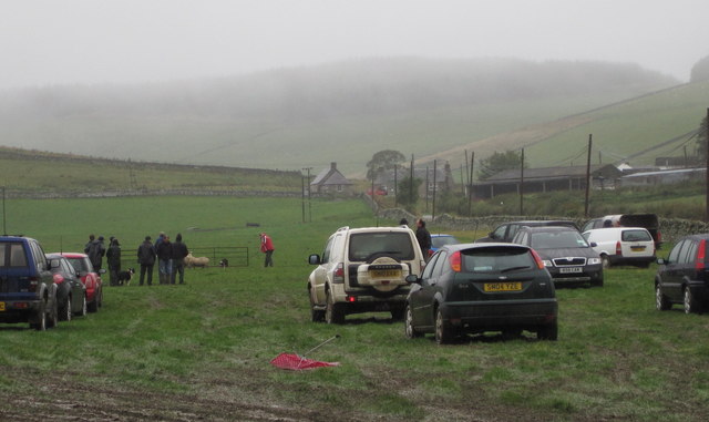
Hallyards Images

Images are sourced within 2km of 55.620144/-3.2559636 or Grid Reference NT2137. Thanks to Geograph Open Source API. All images are credited.

Forest corner, Hallmanor Forest The square is mostly a shallow heather bowl, but also contains a small corner of the Hallmanor Forest.
Forest corner, Hallmanor Forest
The square is mostly a shallow heather bowl, but also contains a small corner of the Hallmanor Forest.
John Buchan Way, near Easter Dawyck More details on this 22km track from Peebles to Broughton will be found at 
<span class="nowrap"><a title="http://walking.visitscotland.com/walks/southscotland/213763" rel="nofollow ugc noopener" href="http://walking.visitscotland.com/walks/southscotland/213763">Link</a><img style="margin-left:2px;" alt="External link" title="External link - shift click to open in new window" src="https://s1.geograph.org.uk/img/external.png" width="10" height="10"/></span> .
John Buchan Way, near Easter Dawyck
More details on this 22km track from Peebles to Broughton will be found at LinkExternal link .
Gate and stile, John Buchan Way
Rough grazing, White Knowe A mix of heather, grass and bracken on the E slopes of White Knowe.
Rough grazing, White Knowe
A mix of heather, grass and bracken on the E slopes of White Knowe.
Lookout post, Whitelaw hill For shooting deer or fire spotting?
Lookout post, Whitelaw hill
For shooting deer or fire spotting?
Site of fort and settlement above Stobo The site is just above the John Buchan Way and has a commanding view of the Tweed valley. The rampart enclosing the area can be seen curving away to the right.
Site of fort and settlement above Stobo
The site is just above the John Buchan Way and has a commanding view of the Tweed valley. The rampart enclosing the area can be seen curving away to the right.
Footbridge on the John Buchan Way The path here leaves the track above Easter Dawyck to climb to the pass above Glack Hope.
Footbridge on the John Buchan Way
The path here leaves the track above Easter Dawyck to climb to the pass above Glack Hope.
Signpost on the John Buchan Way Situated where the route leaves the tarmac road to take the track crossing the ridge of Cademuir and down into Peebles.
Signpost on the John Buchan Way
Situated where the route leaves the tarmac road to take the track crossing the ridge of Cademuir and down into Peebles.
Old milestone below Cademuir Shown as a milestone on the map, but any marking the stone might have had has now worn away.
Old milestone below Cademuir
Shown as a milestone on the map, but any marking the stone might have had has now worn away.
Canada Hill from Cademuir Stob Law is just to the right of Canada Hill. The cottages are close by Cademuir farm.
Canada Hill from Cademuir
Stob Law is just to the right of Canada Hill. The cottages are close by Cademuir farm.
Iron Age hill fort defences on Cademuir The scattered boulders in the grass, beyond the nearest fringe of loose boulders, have been embedded across the ridge to impede attackers on foot or horseback - there are over 60 in this view, protruding up to 50cm or so above ground. Obstacles such as this are known as 'chevaux de frise' and the concept was still used in the Second World War in the form of large concrete anti-tank defences around our coasts.

<a href="https://www.geograph.org.uk/photo/1540932">NT2237 : Iron Age defensive structure, Cademuir Hill Fort</a> shows a different view of these defences.
Iron Age hill fort defences on Cademuir
The scattered boulders in the grass, beyond the nearest fringe of loose boulders, have been embedded across the ridge to impede attackers on foot or horseback - there are over 60 in this view, protruding up to 50cm or so above ground. Obstacles such as this are known as 'chevaux de frise' and the concept was still used in the Second World War in the form of large concrete anti-tank defences around our coasts. NT2237 : Iron Age defensive structure, Cademuir Hill Fort shows a different view of these defences.
Sheepdog trials, Manor A damp day for the sheepdog trials at Woodhouse farm, Kirkton Manor. A simultaneous event is the Manor Water Hill Race, which starts from an adjacent field for a 10 mile round trip up to the summit of The Scrape (719m) and back.
Sheepdog trials, Manor
A damp day for the sheepdog trials at Woodhouse farm, Kirkton Manor. A simultaneous event is the Manor Water Hill Race, which starts from an adjacent field for a 10 mile round trip up to the summit of The Scrape (719m) and back.
Dog versus sheep, Manor Sheepdog trials at Woodhouse farm near Kirkton Manor; who is in charge here - man, dog, or sheep?
Dog versus sheep, Manor
Sheepdog trials at Woodhouse farm near Kirkton Manor; who is in charge here - man, dog, or sheep?
Shelter belt above Stobo On the hillside above Easter Dawyck farm looking towards Penvalla.
Shelter belt above Stobo
On the hillside above Easter Dawyck farm looking towards Penvalla.
Recently felled area, Syke Hill A strip of trees has been felled and cleared, along with felling in the Bankend Plantation 1km to the north.
Recently felled area, Syke Hill
A strip of trees has been felled and cleared, along with felling in the Bankend Plantation 1km to the north.
Forest track in Hallmanor Wood
In the Manor Valley Canada Hill is in the background to the left, and a spur of Glenrath Hill is on the right.
In the Manor Valley
Canada Hill is in the background to the left, and a spur of Glenrath Hill is on the right.
In the Manor Valley The west slopes of Cademuir Hill, with several hill forts along the ridge, is beyond the river.
In the Manor Valley
The west slopes of Cademuir Hill, with several hill forts along the ridge, is beyond the river.
Show me another place!

Hallyards is located at Grid Ref: NT2137 (Lat: 55.620144, Lng: -3.2559636)

Unitary Authority: The Scottish Borders

Police Authority: The Lothians and Scottish Borders

What 3 Words

///riders.shaped.built. Near Peebles, Scottish Borders

Related Wikis

Lyne Water

The Lyne Water is a tributary of the River Tweed that rises in the Pentland Hills of southern Scotland at Baddinsgill Reservoir. It runs through West Linton...

Manor, Scottish Borders

Manor is a parish in Peeblesshire in the Scottish Borders, whose church lies on the west bank of Manor Water 3 miles south-west of Peebles.The parish...
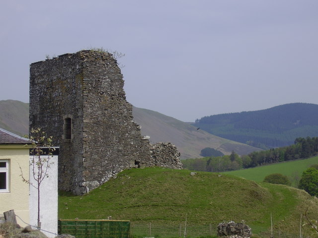
Castlehill Tower

Castlehill Tower, also known as Castle Hill of Manor, is a ruined oblong tower house dating from the end of the 15th century, situated in the parish of...

Manor Water

Manor Water is a river in the parish of Manor, Peeblesshire in the Scottish Borders. It rises in the Ettrick Forest and flows down through the Maynor valley...

Stobo Kirk

Stobo Kirk is an ancient church of the Church of Scotland. It is dedicated to St Mungo and is situated near the B712 off the A72 just 6 miles south-west...

Lyne railway station

Lyne railway station served the village of Lyne, Scottish Borders, Scotland from 1864 to 1950 on the Symington, Biggar and Broughton Railway. == History... ==
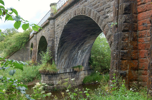
Lyne Viaduct

Lyne Viaduct is a viaduct at Lyne in the Scottish Borders of Scotland. It consists of three stone skew arches and a plate girder approach span over a minor...

Lyne, Scottish Borders

Lyne (Scottish Gaelic: An Lainn) is a small village and civil parish in the Scottish Borders area of Scotland, 4 miles (6.4 km) west of the market town...

Nearby Amenities

Located within 500m of 55.620144,-3.2559636
Black Dwarf's Cottage
Place: locality
Lat/Long: 55.6210706/-3.2529108
Power: pole
Lat/Long: 55.6181896/-3.2494455
Power: pole
Lat/Long: 55.6181502/-3.2508882
Power: pole
Lat/Long: 55.6181108/-3.2523837
Power: pole
Lat/Long: 55.6188203/-3.2500886
Power: pole
Lat/Long: 55.6194714/-3.2507444
Power: pole
Lat/Long: 55.6201056/-3.2513959
Power: pole
Lat/Long: 55.6207709/-3.2520664
Power: pole
Lat/Long: 55.6213789/-3.2527328
The data included in this document is from www.openstreetmap.org. The data is made available under ODbL.

Have you been to Hallyards?

Leave your review of Hallyards below (or comments, questions and feedback).