Hallworthy
Settlement in Cornwall
England
Hallworthy
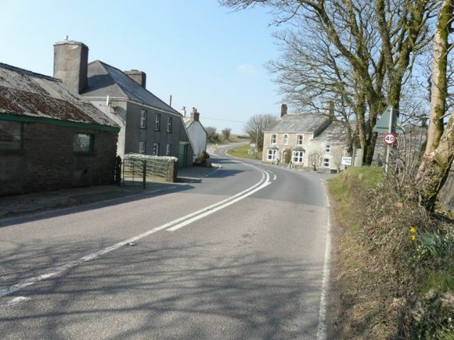
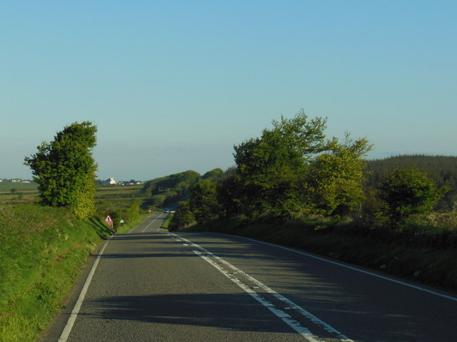
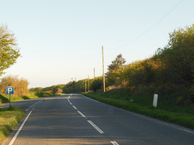
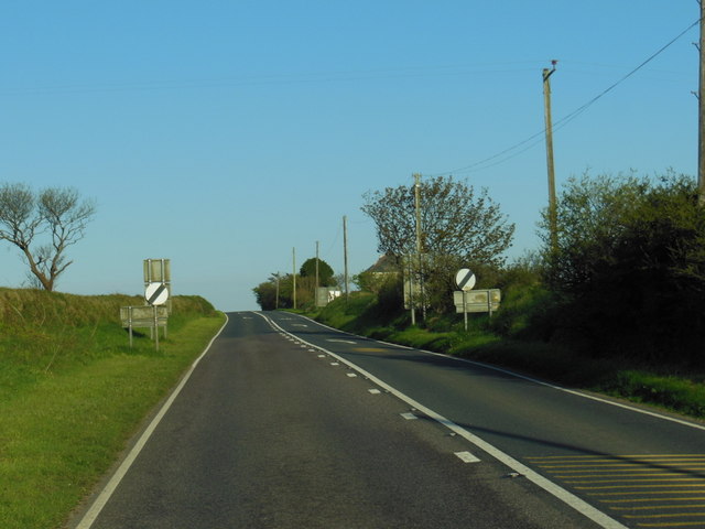
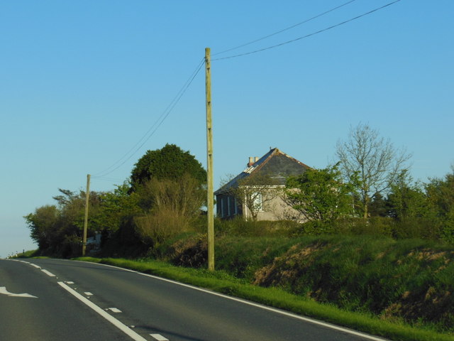
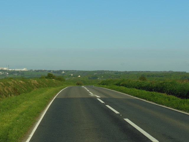
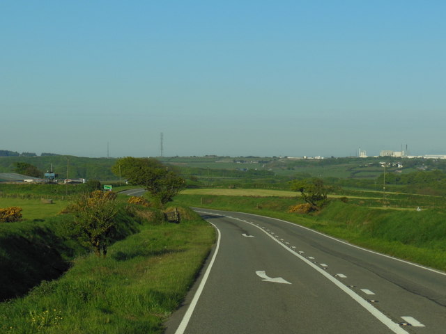
Hallworthy is a small village located in the northern part of Cornwall, England. Situated approximately 8 miles northeast of the town of Launceston, it is nestled within the beautiful countryside of the region. The village is set against a backdrop of rolling hills and lush green fields, providing a picturesque and tranquil setting.
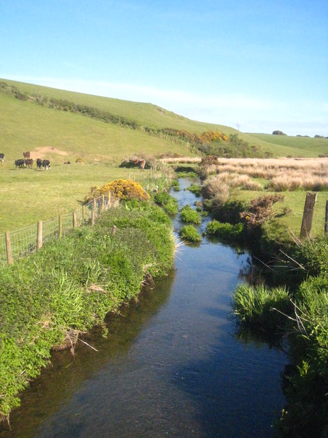
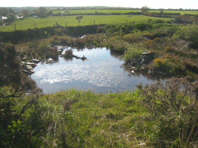
Hallworthy is primarily an agricultural community, with farming playing a significant role in the local economy. The fertile soil and favorable climate of the area make it ideal for growing crops and rearing livestock. As a result, visitors to Hallworthy can witness the sight of vast farmlands and farm animals grazing in the fields.
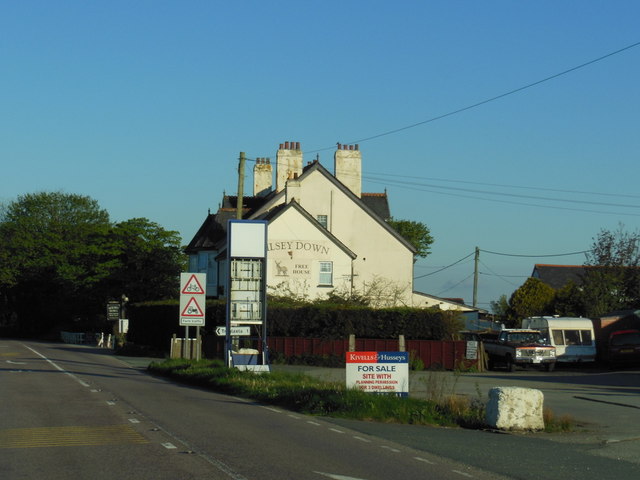
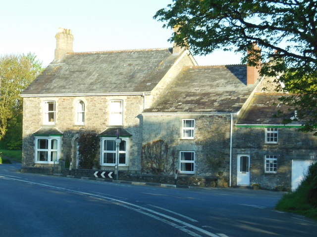
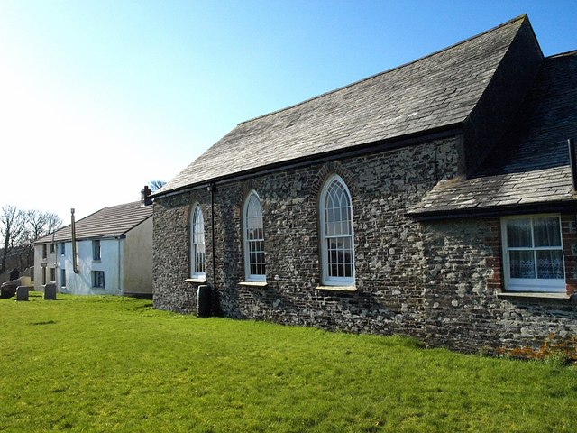
The village itself is relatively small, consisting of a few scattered houses, a church, and a village hall. Despite its size, Hallworthy has a close-knit community, with friendly and welcoming residents. There are limited amenities available within the village, but the nearby town of Launceston provides more extensive facilities, including shops, restaurants, and schools.
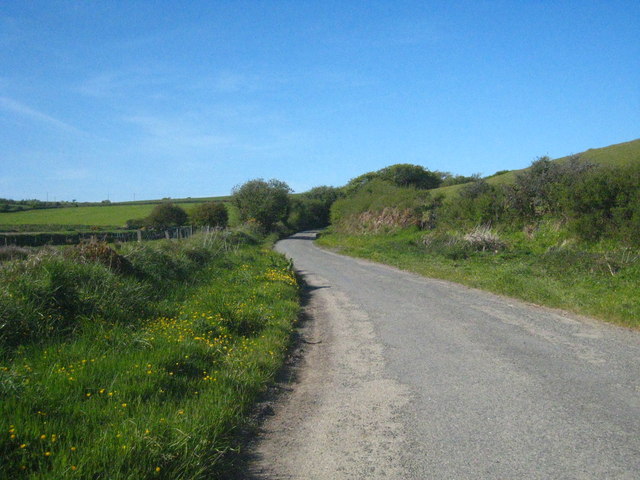
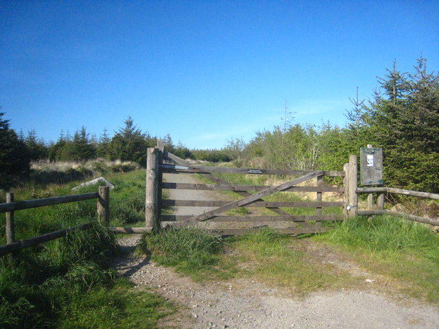
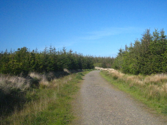
For nature lovers, Hallworthy offers excellent opportunities for outdoor activities. The surrounding countryside is perfect for leisurely walks, providing stunning views and a chance to observe the local flora and fauna. The nearby North Cornwall coast is also easily accessible, offering breathtaking beaches and coastal trails.
Overall, Hallworthy is a charming rural village that offers a peaceful retreat for those seeking a break from the hustle and bustle of city life. Its scenic landscapes, agricultural heritage, and friendly community make it a hidden gem within the Cornwall countryside.
If you have any feedback on the listing, please let us know in the comments section below.
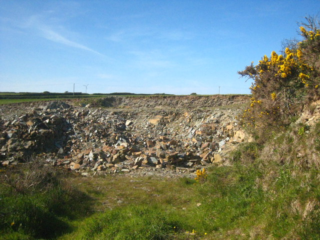
Hallworthy Images
Images are sourced within 2km of 50.661478/-4.576555 or Grid Reference SX1887. Thanks to Geograph Open Source API. All images are credited.

Hallworthy is located at Grid Ref: SX1887 (Lat: 50.661478, Lng: -4.576555)
Unitary Authority: Cornwall
Police Authority: Devon and Cornwall
What 3 Words
///crabmeat.baker.trumped. Near Jacobstow, Cornwall
Nearby Locations
Related Wikis

Hallworthy
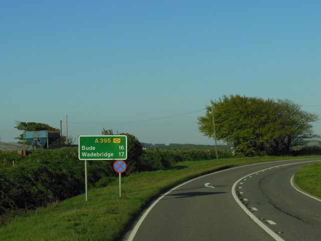
Hallworthy (Cornish: Halworgi) is a hamlet in the parish of Treneglos, Cornwall, England. It is at a crossroads on the A395 road from Davidstow to Launceston...
Tremail
Tremail is a hamlet in Cornwall, England, UK. It is about one mile southeast of Davidstow. Higher Tremail Farm and Trewinnow are nearby. == References ==

Trelash
Trelash is a hamlet in the civil parish of Warbstow, Cornwall, England, United Kingdom. == References == == External links == Media related to Trelash...

Treneglos
Treneglos (Cornish: Treneglos) is a village and a civil parish in north-east Cornwall, England, United Kingdom. It is in the Registration District of Launceston...
Nearby Amenities
Located within 500m of 50.661478,-4.576555Have you been to Hallworthy?
Leave your review of Hallworthy below (or comments, questions and feedback).