Ladyseat Wood

Downs, Moorland in Cumberland Carlisle

England

Ladyseat Wood

Hedge-lined minor road heading towards Low Hallburn Looking southward.
Hedge-lined minor road heading towards Low Hallburn Credit: Peter Wood

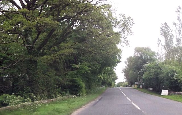
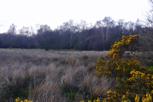
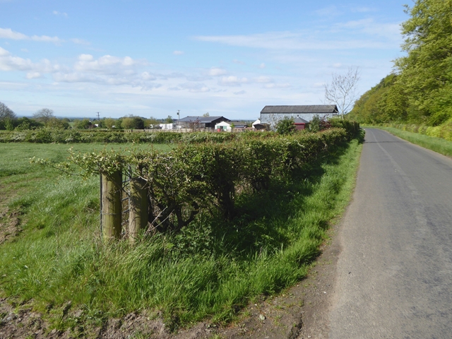
Ladyseat Wood is a picturesque woodland located in the scenic region of Cumberland, England. Nestled amidst the stunning landscape of the Cumberland Downs and Moorland, this enchanting forest covers an area of approximately 50 acres. The wood is characterized by its diverse range of flora and fauna, making it an ideal destination for nature enthusiasts and wildlife lovers.

The woodland is primarily composed of deciduous trees, such as oak, beech, and ash, which provide a captivating display of colors during the autumn season. The forest floor is adorned with a rich carpet of bluebells and wildflowers in the spring, creating a vibrant and serene atmosphere.

Ladyseat Wood is home to a plethora of wildlife species, including deer, foxes, badgers, and various bird species. The tranquil setting of the wood attracts a wide range of birdlife, making it a popular spot for birdwatching. Visitors can spot woodpeckers, owls, and numerous songbirds, adding to the allure of the woodland.

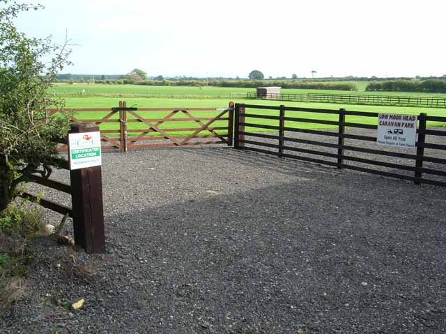
The wood offers several walking trails that meander through its ancient trees, providing visitors with the opportunity to immerse themselves in the peaceful ambiance. There are also designated picnic areas, allowing visitors to enjoy a leisurely lunch surrounded by nature's beauty.

Ladyseat Wood is not only a haven of natural beauty but also holds historical significance. It is believed that the woodland served as a hunting ground for the nobility during medieval times. Today, it stands as a testament to the region's rich history and natural heritage, captivating all who explore its timeless charm.

If you have any feedback on the listing, please let us know in the comments section below.

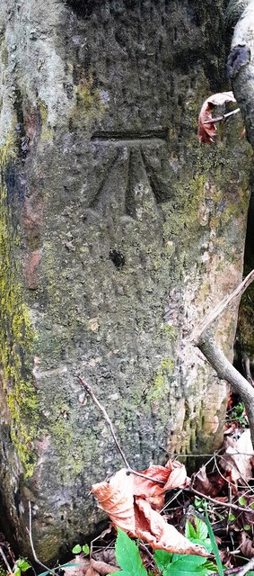
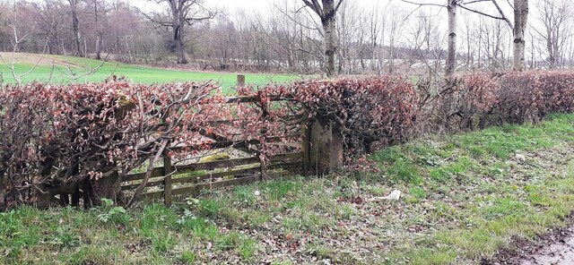
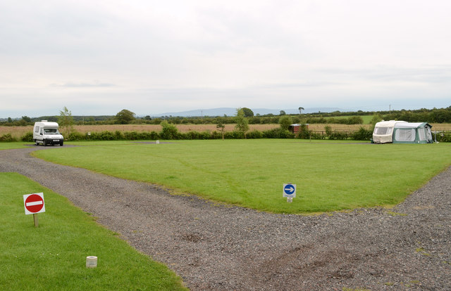
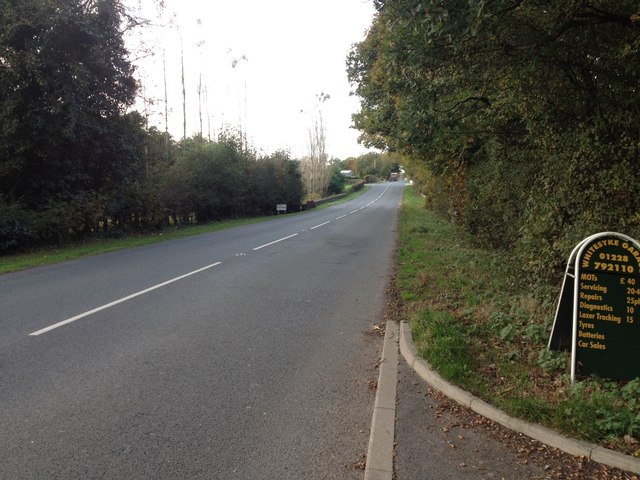
Ladyseat Wood Images

Images are sourced within 2km of 55.004712/-2.9570236 or Grid Reference NY3868. Thanks to Geograph Open Source API. All images are credited.

Hedge-lined minor road heading towards Low Hallburn Looking southward.
Hedge-lined minor road heading towards Low Hallburn
Looking southward.
Benchmark on gatepost at gateway on SE side of road near Slackbraes Wood Ordnance Survey cut mark benchmark levelled at 23.360m above Newlyn Datum verified 1955
Benchmark on gatepost at gateway on SE side of road near Slackbraes Wood
Ordnance Survey cut mark benchmark levelled at 23.360m above Newlyn Datum verified 1955
Field gateway on SE side of rural road west of Slackbraes Wood There is an Ordnance Survey benchmark <a href="https://www.geograph.org.uk/photo/7148236">NY3870 : Benchmark on gatepost at gateway on SE side of road near Slackbraes Wood</a> on the road face of the right hand gatepost of the now disused gateway
Field gateway on SE side of rural road west of Slackbraes Wood
There is an Ordnance Survey benchmark NY3870 : Benchmark on gatepost at gateway on SE side of road near Slackbraes Wood on the road face of the right hand gatepost of the now disused gateway
Polythene landscape near Longtown The polythene warms the soil, in which maize has been sown. When harvested it will go to an anaerobic digester to produce methane <span class="nowrap"><a title="https://en.wikipedia.org/wiki/Anaerobic_digestion?msclkid=adb03555c6f511ecbf8c925041f224d" rel="nofollow ugc noopener" href="https://en.wikipedia.org/wiki/Anaerobic_digestion?msclkid=adb03555c6f511ecbf8c925041f224d">Link</a><img style="margin-left:2px;" alt="External link" title="External link - shift click to open in new window" src="https://s1.geograph.org.uk/img/external.png" width="10" height="10"/></span> , which can be used as a fuel. Beyond are poultry houses at Lynemoor.
Polythene landscape near Longtown
The polythene warms the soil, in which maize has been sown. When harvested it will go to an anaerobic digester to produce methane LinkExternal link , which can be used as a fuel. Beyond are poultry houses at Lynemoor.
Low Hallburn Farm The farm adjoins the old World War II Longtown airfield.
Low Hallburn Farm
The farm adjoins the old World War II Longtown airfield.
Caravan Park at Low Moor Head Farm
Minor road near Hallburn
A6071 near Longtown
A6071 near Longtown
Garden Centre entrance from A6071
Caravan Park at Low Moor Head Farm Although nominally open all year round, there weren't any takers when this photo was taken in late September.
Caravan Park at Low Moor Head Farm
Although nominally open all year round, there weren't any takers when this photo was taken in late September.
The Road to Whitesyke
The Road Low Hallburn
Huggonsmoor Wood Scattered trees and wetland near Longtown.
Huggonsmoor Wood
Scattered trees and wetland near Longtown.
Whitesike Garden Centre Garden centre and cafe beside the A6071.
Whitesike Garden Centre
Garden centre and cafe beside the A6071.
Lowmoorhead Farm Beside Moor Road from Easton to Longtown.
Lowmoorhead Farm
Beside Moor Road from Easton to Longtown.
Stone plaque on SW parapet of Whitesike Bridge The plaque has Milestone Society National ID:  CU_ARTHUR03br
Stone plaque on SW parapet of Whitesike Bridge
The plaque has Milestone Society National ID: CU_ARTHUR03br
Benchmark on SW parapet of Whitesike Bridge Ordnance Survey cut mark benchmark levelled at 21.943m above Newlyn Datum in 1971 and verified in 1974
Benchmark on SW parapet of Whitesike Bridge
Ordnance Survey cut mark benchmark levelled at 21.943m above Newlyn Datum in 1971 and verified in 1974
Parapet of Whitesike Bridge on SW side of A6071 There is an Ordnance Survey benchmark <a href="https://www.geograph.org.uk/photo/6859152">NY4067 : Benchmark on SW parapet of Whitesike Bridge</a> on a stone in the parapet wall near the left hand edge of the image, and a bridge name plaque <a href="https://www.geograph.org.uk/photo/6858806">NY4067 : Stone plaque on SW parapet of Whitesike Bridge</a> as the stone right of the stone with the benchmark
Parapet of Whitesike Bridge on SW side of A6071
There is an Ordnance Survey benchmark NY4067 : Benchmark on SW parapet of Whitesike Bridge on a stone in the parapet wall near the left hand edge of the image, and a bridge name plaque NY4067 : Stone plaque on SW parapet of Whitesike Bridge as the stone right of the stone with the benchmark
Show me another place!

Ladyseat Wood is located at Grid Ref: NY3868 (Lat: 55.004712, Lng: -2.9570236)

Administrative County: Cumbria

District: Carlisle

Police Authority: Cumbria

What 3 Words

///yield.patrol.toddler. Near Longtown, Cumbria

Nearby Locations

Longtown Ladyseat Wood

Related Wikis

Longtown, Cumbria

Longtown is a market town in Cumbria, England, just south of the Scottish Border. It has a sheep market which was at the centre of the 2001 United Kingdom...

Longtown railway station

Longtown railway station served the town of Longtown, Cumbria, England, from 1861 to 1970 on the Waverley Route. == History == The station opened on 29...

RAF Longtown

Royal Air Force Longtown or more simply RAF Longtown is a former Royal Air Force satellite station located 2 miles (3.2 km) east of Longtown, Cumbria and...

2020s in United Kingdom political history

2020s political history refers to significant political and societal historical events in the United Kingdom in the 2020s, presented as a historical overview...

United Kingdom

The United Kingdom of Great Britain and Northern Ireland, commonly known as the United Kingdom (UK) or Britain, is a country in Northwestern Europe, off...

Battle of Arfderydd

The Battle of Arfderydd (also known as Arderydd) was fought in medieval Britain in AD 573, according to the Annales Cambriae. The opposing armies are identified...

Arthuret

Arthuret is a civil parish in the Carlisle district of Cumbria, England. According to the 2001 census it had a population of 2,434, increasing to 2,471...

Coop House, Netherby

Coop House, near Netherby in Cumbria, England, is a small building by the River Esk, erected about 1772 as part of a salmon fishery project, and restored...

Nearby Amenities

Located within 500m of 55.004712,-2.9570236
Power: tower
Lat/Long: 55.0016699/-2.9627198
Barrier: rope
Lat/Long: 55.0063134/-2.961877
Generator Method: photovoltaic
Generator Output Electricity: yes
Generator Source: solar
Generator Type: solar_photovoltaic_panel
Power: generator
Lat/Long: 55.0078119/-2.9622006
Generator Method: photovoltaic
Generator Output Electricity: yes
Generator Source: solar
Generator Type: solar_photovoltaic_panel
Power: generator
Lat/Long: 55.0077653/-2.9626463
Power: pole
Lat/Long: 55.0009981/-2.9598386
Power: pole
Lat/Long: 55.0017552/-2.9607872
Power: pole
Lat/Long: 55.0025369/-2.9617886
Power: pole
Lat/Long: 55.0033269/-2.9627683
Power: pole
Lat/Long: 55.0041527/-2.9639038
Power: pole
Lat/Long: 55.0048389/-2.9647914
Power: pole
Lat/Long: 55.0072146/-2.9591355
Power: pole
Lat/Long: 55.0072365/-2.958139
Power: pole
Lat/Long: 55.0072599/-2.9566106
Power: pole
Lat/Long: 55.0072805/-2.9552428
Power: pole
Lat/Long: 55.0073025/-2.9539875
Power: pole
Lat/Long: 55.007319/-2.9523274
Power: pole
Lat/Long: 55.008205/-2.9558129
Power: pole
Lat/Long: 55.0089688/-2.9551733
The data included in this document is from www.openstreetmap.org. The data is made available under ODbL.

Have you been to Ladyseat Wood?

Leave your review of Ladyseat Wood below (or comments, questions and feedback).