West Edington Heath
Downs, Moorland in Somerset Sedgemoor
England
West Edington Heath
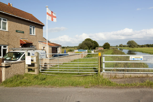
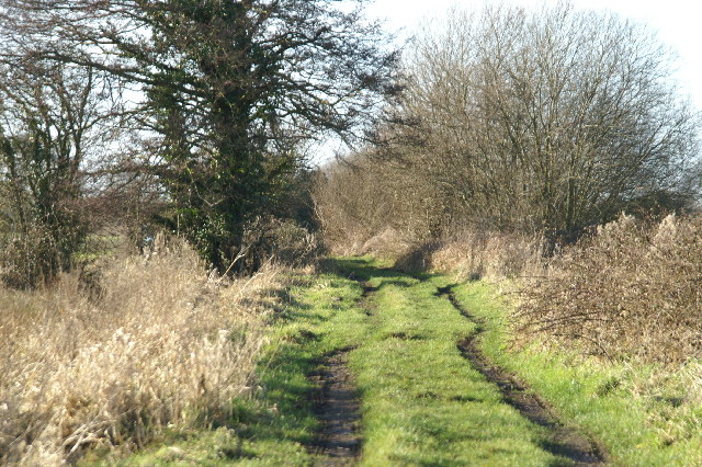
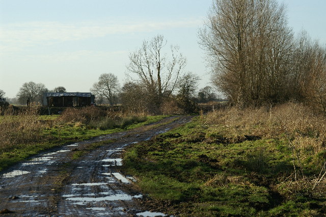
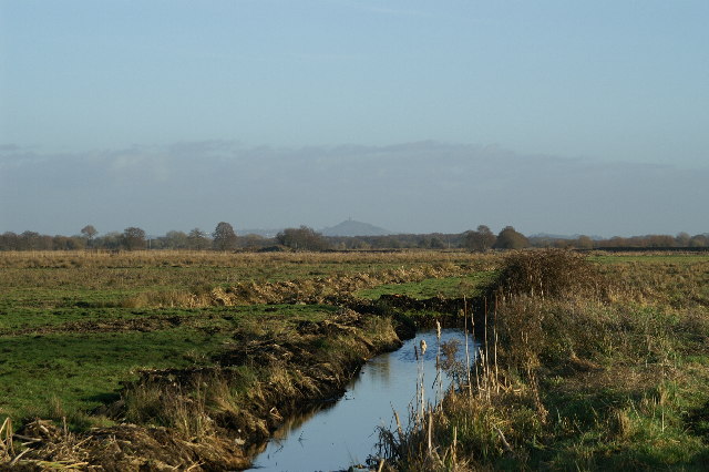
West Edington Heath is a picturesque region located in Somerset, England. Nestled between the rolling Downs and vast Moorland, this area offers breathtaking natural beauty and a tranquil atmosphere. With its diverse landscapes and rich biodiversity, West Edington Heath attracts nature enthusiasts, hikers, and outdoor adventurers.
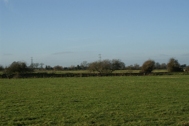
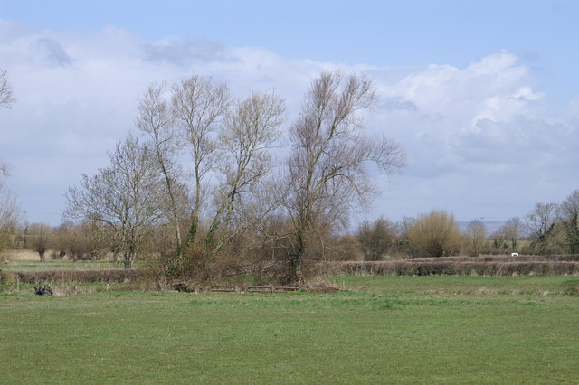
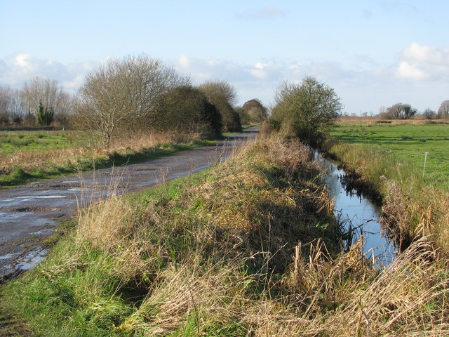
The Downs in West Edington Heath are characterized by their gentle slopes, lush greenery, and panoramic views. These grassy expanses are perfect for taking leisurely walks, picnicking, or simply enjoying the serene surroundings. The Downs also serve as habitats for a variety of wildlife, including rabbits, foxes, and numerous bird species.
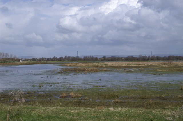
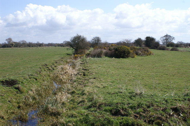
On the other hand, the Moorland in West Edington Heath boasts a more rugged terrain, characterized by vast heather-covered hills, rocky outcrops, and peat bogs. This unique landscape provides a stark contrast to the Downs, attracting visitors looking for a more challenging hiking experience. Moorland wildlife includes red deer, ponies, and a wide array of birdlife, making it a haven for birdwatchers and nature photographers.
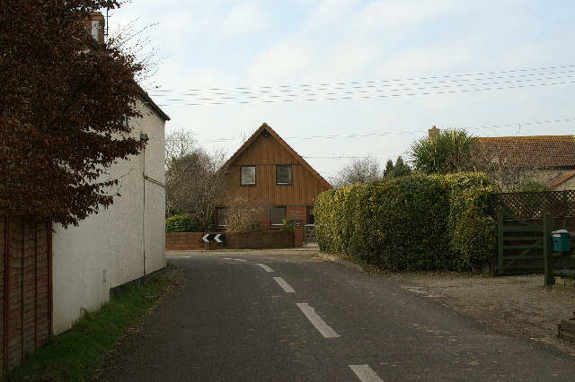
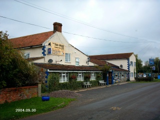
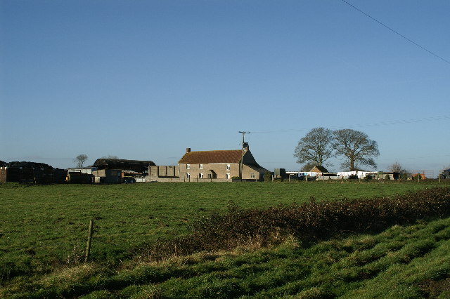
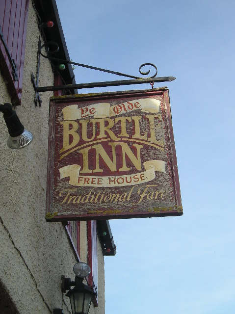
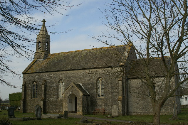
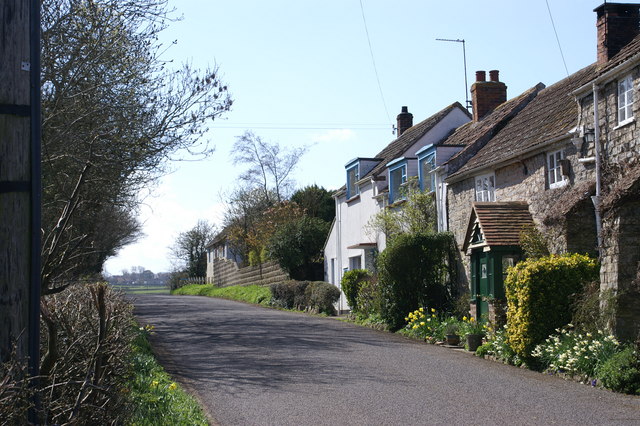
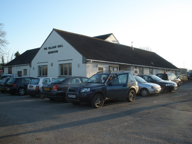
Aside from its natural beauty, West Edington Heath is also home to a small community of residents. The local village offers a quaint charm, with its traditional cottages and friendly atmosphere. Visitors can enjoy a warm welcome at the local pub, which serves delicious homemade meals and locally brewed ales.
In conclusion, West Edington Heath in Somerset is a haven of natural beauty, offering a perfect blend of Downs and Moorland landscapes. Whether it's a leisurely walk, a challenging hike, or simply a desire to connect with nature, this region has something to offer for everyone.
If you have any feedback on the listing, please let us know in the comments section below.
West Edington Heath Images
Images are sourced within 2km of 51.174784/-2.8756692 or Grid Reference ST3842. Thanks to Geograph Open Source API. All images are credited.

West Edington Heath is located at Grid Ref: ST3842 (Lat: 51.174784, Lng: -2.8756692)
Administrative County: Somerset
District: Sedgemoor
Police Authority: Avon and Somerset
What 3 Words
///mocked.octagon.publisher. Near Woolavington, Somerset
Nearby Locations
Related Wikis

Catcott, Edington and Chilton Moors
Catcott, Edington and Chilton Moors SSSI is a 1083 hectare biological Site of Special Scientific Interest in Somerset, England notified in 1967. It is...

Burtle Priory
Burtle Priory (also known as Burtle Moor Priory) originated as a hermitage on a site called Sprauellissmede (or Sprawlesmede), in Burtle, Somerset, England...

Burtle
Burtle is a village and civil parish on the Somerset Levels in Somerset, England. == History == Burtle Priory (also known as Burtle Moor Priory) originated...

Edington railway station
Edington Burtle railway station was a station on the Somerset and Dorset Joint Railway, and served the village of Edington, Somerset, UK. Originally named...
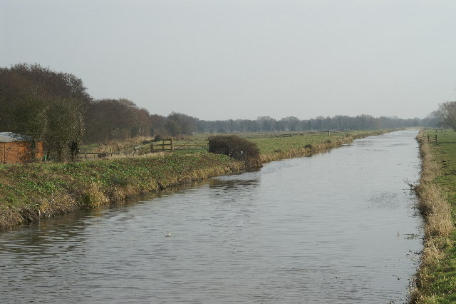
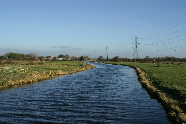
South Drain (river)
The South Drain flows in a generally north-westerly direction from Actis Tunnel to Gold Corner, where it moves on to the Huntspill River, in Somerset,...

Westhay Heath
Westhay Heath (grid reference ST415422) is a 25.9 hectare (64.0 acre) biological Site of Special Scientific Interest 2km west of Westhay village in Somerset...
Edington, Somerset
Edington is a rural village, situated on the north side of the Polden Hills in Somerset, England. Either side of it lie the villages of Chilton Polden...

Chilton Polden
Chilton Polden is a rural village and civil parish, situated close to Edington on the Somerset Levels to the north of the Polden Hills in Somerset, England...
Nearby Amenities
Located within 500m of 51.174784,-2.8756692Have you been to West Edington Heath?
Leave your review of West Edington Heath below (or comments, questions and feedback).