Charlie's Moss
Downs, Moorland in Dumfriesshire
Scotland
Charlie's Moss
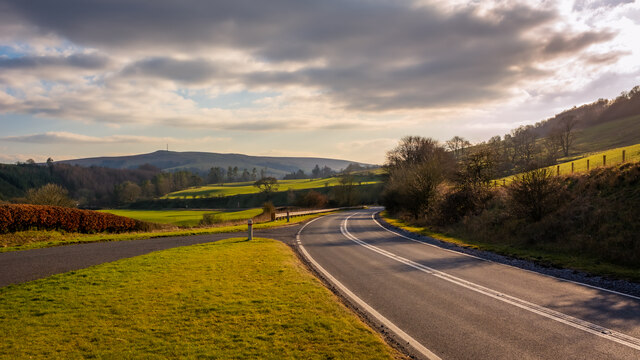
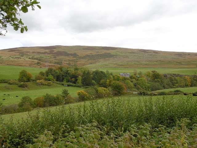
Charlie's Moss is a sprawling nature reserve located in Dumfriesshire, Scotland. The reserve encompasses a diverse range of landscapes, including downs and moorland, making it a haven for wildlife and nature lovers alike.
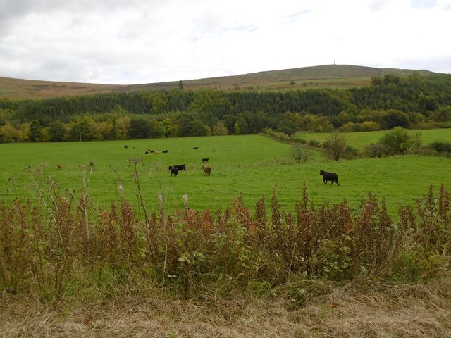
Covering an area of approximately 200 hectares, Charlie's Moss is characterized by its undulating terrain, with gentle slopes and rolling hills providing a picturesque backdrop. The downs, with their short grasses and low-growing shrubs, offer a unique habitat for a variety of bird species, including skylarks and meadow pipits. These open areas also attract small mammals like rabbits and voles.
Moving into the Moorland section of the reserve, visitors are greeted by expansive stretches of heather and gorse, creating a vibrant and colorful landscape. This habitat provides an ideal environment for a number of bird species, including curlews and grouses, which can often be seen darting across the moorland.
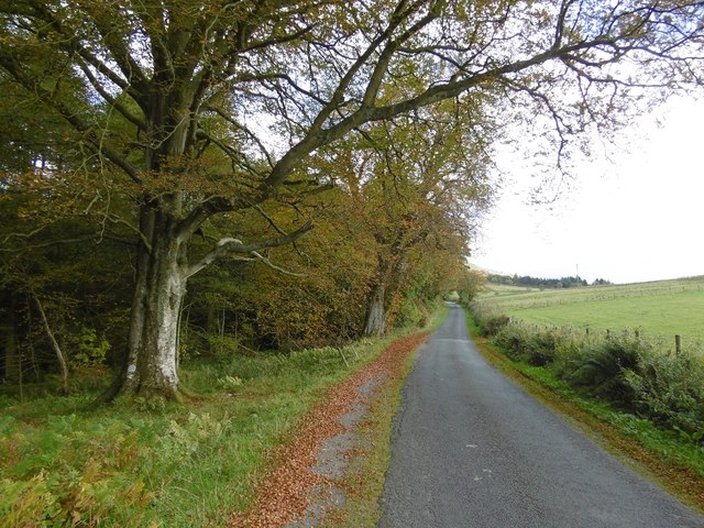
The reserve also boasts a network of walking trails, allowing visitors to explore the beauty of Charlie's Moss up close. These paths wind through the different habitats, offering stunning views and opportunities for wildlife spotting. With its peaceful and serene atmosphere, it is a popular destination for nature enthusiasts, hikers, and photographers.
Furthermore, Charlie's Moss is actively managed to preserve and enhance its biodiversity. Conservation efforts include controlled grazing by sheep and cattle to maintain the delicate balance of the ecosystem and prevent the encroachment of invasive species.
In summary, Charlie's Moss in Dumfriesshire is a breathtaking nature reserve that showcases the natural beauty of downs and moorland. With its diverse habitats and abundant wildlife, it offers a tranquil escape for those seeking to immerse themselves in the wonders of nature.
If you have any feedback on the listing, please let us know in the comments section below.
Charlie's Moss Images
Images are sourced within 2km of 55.160205/-2.9649824 or Grid Reference NY3885. Thanks to Geograph Open Source API. All images are credited.


Charlie's Moss is located at Grid Ref: NY3885 (Lat: 55.160205, Lng: -2.9649824)
Unitary Authority: Dumfries and Galloway
Police Authority: Dumfries and Galloway
What 3 Words
///linguists.triathlon.consumed. Near Langholm, Dumfries & Galloway
Nearby Locations
Related Wikis

Langholm
Langholm , also known colloquially as the "Muckle Toon", is a burgh in Dumfries and Galloway, southern Scotland. Langholm lies between four hills in the...

Langholm Town Hall
Langholm Town Hall is a municipal building in the High Street in Langholm, Dumfries and Galloway, Scotland. The structure, which is used as a community...

Langholm railway station
Langholm railway station served the burgh of Langholm, Dumfries and Galloway, Scotland from 1864 to 1967 on the Border Union Railway. == History == The...

Thomas Hope Hospital
Thomas Hope Hospital is a health facility in Strand Street, Langholm, Dumfries and Galloway, Scotland. It is managed by NHS Dumfries and Galloway. ��2...

Battle of Arkinholm
The Battle of Arkinholm was fought on 1 May 1455, at Arkinholm near Langholm in Scotland, during the reign of King James II of Scotland. Although a small...

Langholm Academy
Langholm Academy is a non-denominational, co-educational six-year comprehensive secondary school in Langholm, Scotland. Currently, the school has 240 pupils...

Duchess Bridge
The Duchess Bridge is a cast iron footbridge over the River Esk in Dumfries and Galloway, Scotland. It was built for Charles Montagu-Scott, 4th Duke of...
Wauchope Castle
Wauchope Castle was a castle located at Wauchope, in Dumfries and Galloway, Scotland. The castle was a stronghold of the Lindsay family. It was the caput...
Nearby Amenities
Located within 500m of 55.160205,-2.9649824Have you been to Charlie's Moss?
Leave your review of Charlie's Moss below (or comments, questions and feedback).