Adleymoor Common

Downs, Moorland in Herefordshire

England

Adleymoor Common

Ancient Oak Tree, Fowlet Farm, Hollybush This tree is on the site of an old settlement.It is frequently decorated with many votive offerings.
Ancient Oak Tree, Fowlet Farm, Hollybush Credit: Jerry Fryman

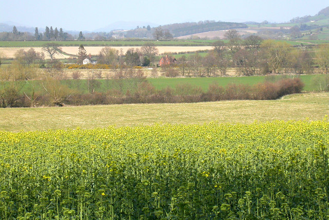
Adleymoor Common is a picturesque expanse of land located in Herefordshire, England. Spanning across an area of approximately 500 acres, this natural treasure is characterized by its rolling downs and expansive moorland. The common is situated in a rural setting, surrounded by lush green fields and tranquil countryside.

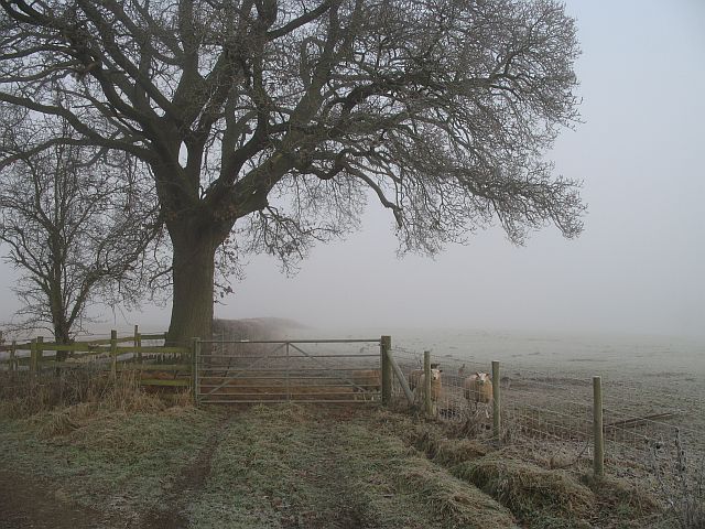
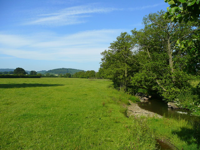
The downs of Adleymoor Common are marked by their gently sloping hills, covered in a patchwork of grasses and wildflowers. These downs provide a stunning panoramic view of the surrounding landscape, with the distant hills and valleys creating a breathtaking backdrop. The area is a haven for wildlife, attracting a variety of bird species such as skylarks, meadow pipits, and kestrels.

The moorland of Adleymoor Common offers a different landscape altogether. Here, visitors can find vast stretches of heather and gorse, interspersed with scattered trees and rocky outcrops. The moorland is home to a diverse range of flora and fauna, including wild ponies and rabbits. The heather blooms in vibrant purple hues during the summer months, creating a stunning spectacle for visitors.

With its untouched natural beauty, Adleymoor Common provides ample opportunities for outdoor activities. Hiking and walking trails crisscross the common, allowing visitors to explore its various habitats and take in the stunning views. It is a popular spot for picnics and nature enthusiasts, as well as birdwatchers and photographers seeking to capture the essence of the Herefordshire countryside.

In conclusion, Adleymoor Common is a scenic haven boasting downs, moorland, and an abundance of wildlife. Its untouched natural beauty and diverse landscapes make it a must-visit destination for those seeking tranquility and a connection with nature.

If you have any feedback on the listing, please let us know in the comments section below.

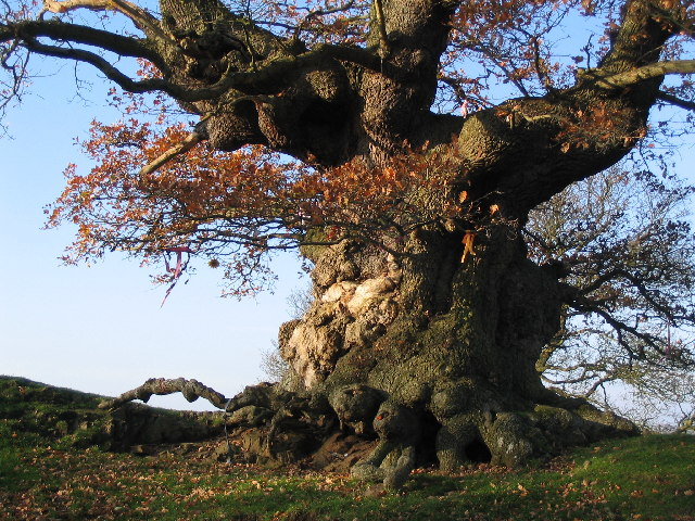
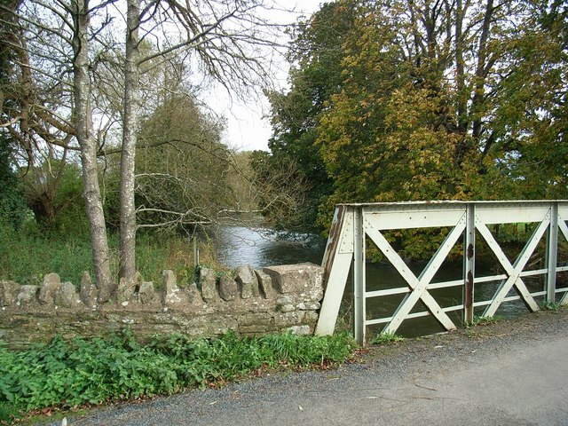
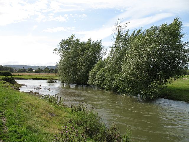
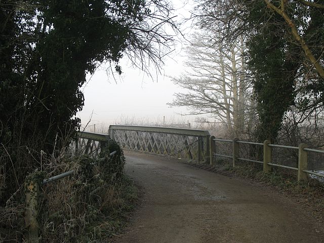
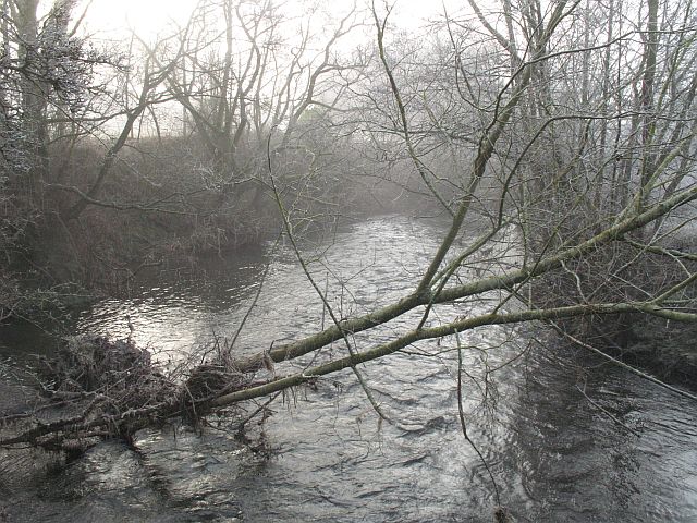
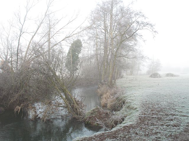
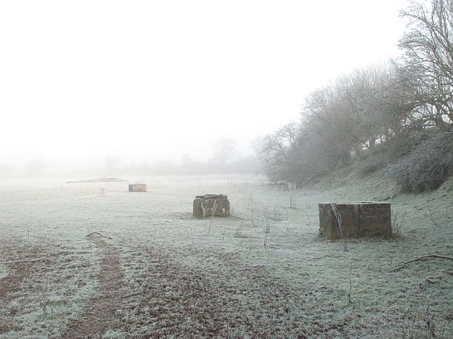
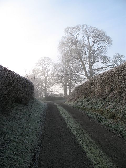
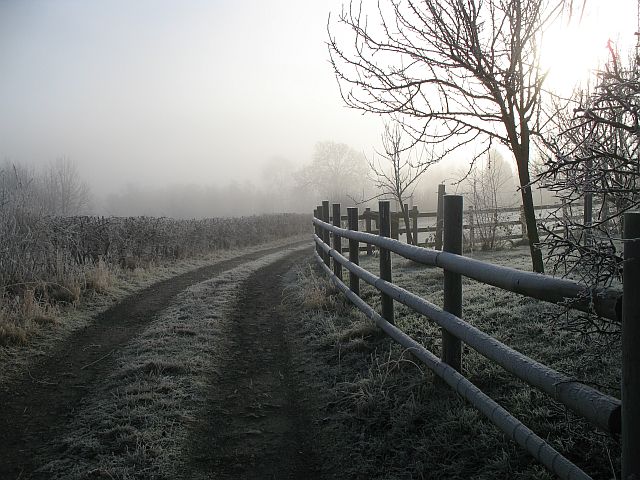
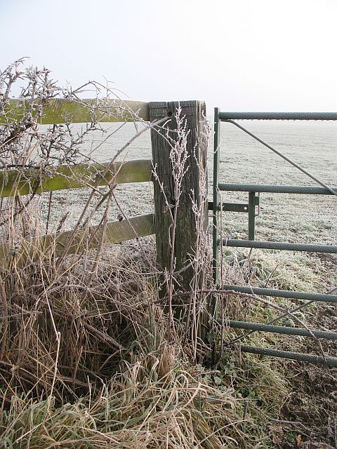
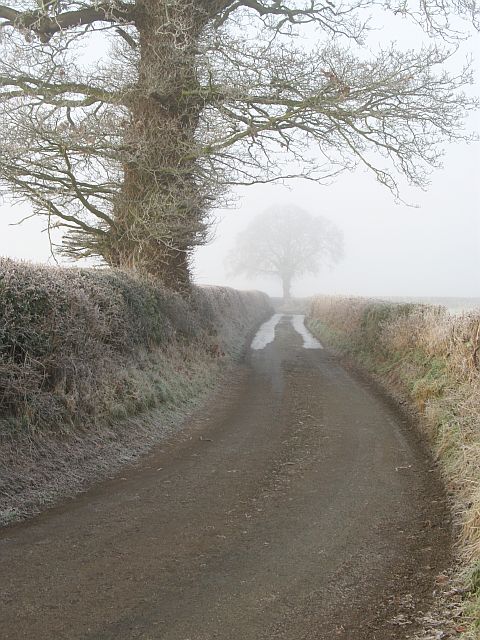
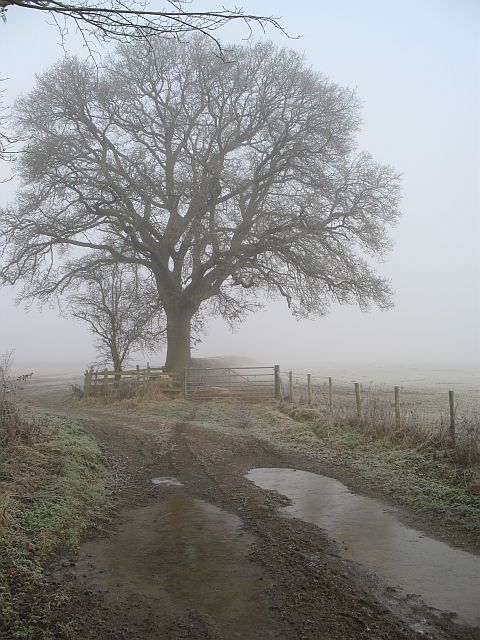
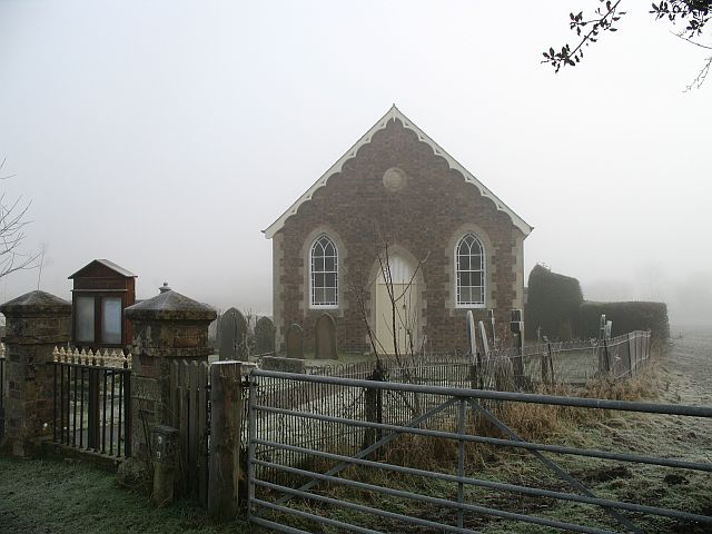
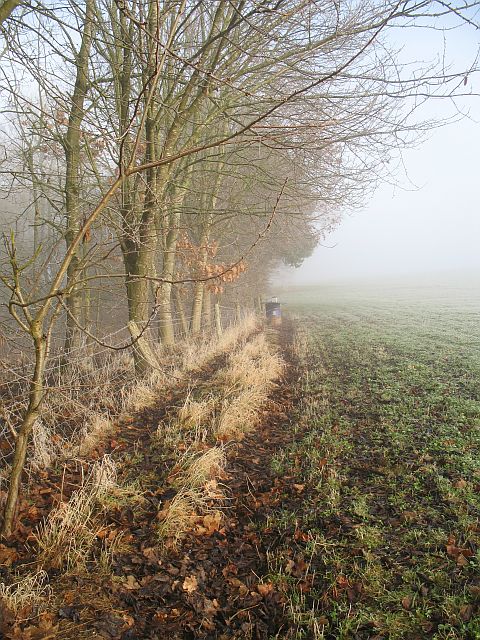
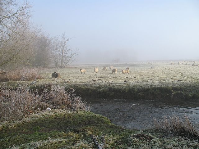
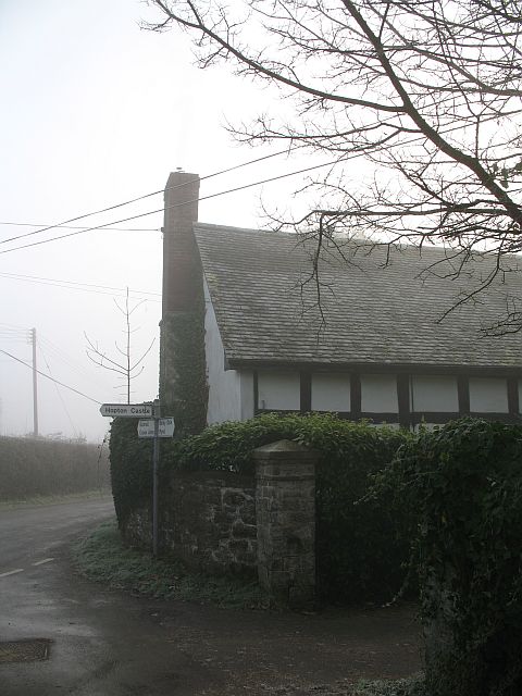
Adleymoor Common Images

Images are sourced within 2km of 52.366539/-2.9083894 or Grid Reference SO3874. Thanks to Geograph Open Source API. All images are credited.

Ancient Oak Tree, Fowlet Farm, Hollybush This tree is on the site of an old settlement.It is frequently decorated with many votive offerings.
Ancient Oak Tree, Fowlet Farm, Hollybush
This tree is on the site of an old settlement.It is frequently decorated with many votive offerings.
Buckton Bridge & River Teme
Overlooking Adleymoor Common One of the few remaining commons in Herefordshire, as seen from the South (The Post Field)
Overlooking Adleymoor Common
One of the few remaining commons in Herefordshire, as seen from the South (The Post Field)
River Teme This river flooded disastrously twice in the 2007 Summer. Still feeding a lot of water into the Severn system. Just upstream of Leintwardine and its confluence with the Clun.
River Teme
This river flooded disastrously twice in the 2007 Summer. Still feeding a lot of water into the Severn system. Just upstream of Leintwardine and its confluence with the Clun.
Jay Bridge These bridges are very common in the north of Herefordshire. The biggest at Bucknell has been replaced, but smaller roads still cross the Clun (here) and Teme by green girders.
Jay Bridge
These bridges are very common in the north of Herefordshire. The biggest at Bucknell has been replaced, but smaller roads still cross the Clun (here) and Teme by green girders.
River Clun Looking downstream from Jay Bridge.
River Clun
Looking downstream from Jay Bridge.
River Clun The Clun, upstream of Jay Bridge.
River Clun
The Clun, upstream of Jay Bridge.
Field beside the Clun Brick towers of unknown origin beside the river.
Field beside the Clun
Brick towers of unknown origin beside the river.
Edge of the fog, Jay Taken right in the corner - sadly others taken further in were unsuccessful. Trees at Jay on a foggy day.

NB This was taken within SO3874 according to GPS readings - but the GPS was wrong according to aerials and large scale maps.
Edge of the fog, Jay
Taken right in the corner - sadly others taken further in were unsuccessful. Trees at Jay on a foggy day. NB This was taken within SO3874 according to GPS readings - but the GPS was wrong according to aerials and large scale maps.
Track, Jay Farm track taken from an exact corner of the square. The 1:25000 map suggests that a grid line runs down the middle of the track.
Track, Jay
Farm track taken from an exact corner of the square. The 1:25000 map suggests that a grid line runs down the middle of the track.
A frosted gate A frosty and foggy morning.
A frosted gate
A frosty and foggy morning.
Jay Lane Oaks beside what is very much a minor road. The obvious lines are strips of ice.
Jay Lane
Oaks beside what is very much a minor road. The obvious lines are strips of ice.
Farm track, Bedstone An access track to a couple of fields, with the usual oak in the hedge. Hungry sheep waiting on the right.
Farm track, Bedstone
An access track to a couple of fields, with the usual oak in the hedge. Hungry sheep waiting on the right.
Coxall Baptist Church Coxall is in Herefordshire, the church is in Shropshire - like Richard's Castle. A simple building set amongst grazing land.
Coxall Baptist Church
Coxall is in Herefordshire, the church is in Shropshire - like Richard's Castle. A simple building set amongst grazing land.
Pheasant feeder, Buckton The oak wood has yet to make it to the maps, but it surrounds a pond which is shown at 1:25000.
Pheasant feeder, Buckton
The oak wood has yet to make it to the maps, but it surrounds a pond which is shown at 1:25000.
Sheep, Coxall Sheep grazing on flat land beside the River Redlake. The path in the foreground is a place where the sheep ford the river to get to the other side of the field.
Sheep, Coxall
Sheep grazing on flat land beside the River Redlake. The path in the foreground is a place where the sheep ford the river to get to the other side of the field.
Hungry sheep, Bedstone Midwinter, and the grazing is lean. Sheep await the hay delivery.
Hungry sheep, Bedstone
Midwinter, and the grazing is lean. Sheep await the hay delivery.
Bedstone Signpost in the centre of Bedstone
Bedstone
Signpost in the centre of Bedstone
Show me another place!

Adleymoor Common is located at Grid Ref: SO3874 (Lat: 52.366539, Lng: -2.9083894)

Unitary Authority: County of Herefordshire

Police Authority: West Mercia

What 3 Words

///product.soak.stylists. Near Bucknell, Shropshire

Nearby Locations

Adleymoor Common

Related Wikis

Buckton and Coxall

Buckton and Coxall is a civil parish in north Herefordshire, England. Buckton and Coxall are hamlets in the parish. Coxall has a Baptist chapel situated...

Jay, Herefordshire

Jay is a hamlet in north Herefordshire, England. It lies in the civil parish of Leintwardine, on the other side of the River Clun 1 mile (1.6 km) northwest...

Buckton Roman Fort

Buckton Roman Fort is an archaeological site at Buckton, about 1 mile south-west of Leintwardine, in Herefordshire. England. it is a scheduled monument...

Bedstone

Bedstone is a small village and civil parish in south Shropshire, England, close to the border with Herefordshire. The village is approximately 1+1⁄2 miles...

Nearby Amenities

Located within 500m of 52.366539,-2.9083894
Adley Moor
Place: locality
Lat/Long: 52.3663682/-2.9111132
The data included in this document is from www.openstreetmap.org. The data is made available under ODbL.

Have you been to Adleymoor Common?

Leave your review of Adleymoor Common below (or comments, questions and feedback).