Common Fell
Downs, Moorland in Cumberland Eden
England
Common Fell

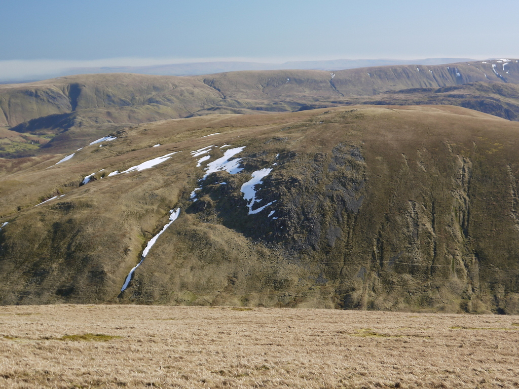
Common Fell is a prominent geographical feature located in the county of Cumberland, England. Situated within the expansive moorland of the region, Common Fell offers breathtaking views and a diverse range of natural habitats.
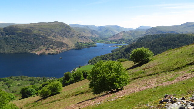
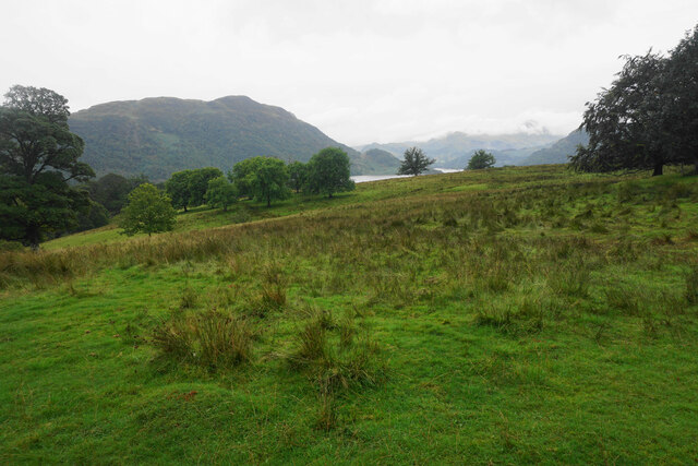
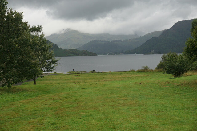
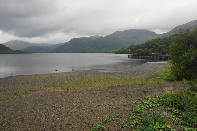
The fell is characterized by its rolling hills, heather-covered moors, and scattered rocky outcrops. It stands at an elevation of approximately 500 meters (1,600 feet) above sea level, making it a popular destination for hikers and nature enthusiasts. The surrounding landscape is dominated by a mix of grasslands, peat bogs, and patches of woodland.
The area is home to a variety of wildlife, including red deer, grouse, and various bird species. The moorland provides an important habitat for many rare and protected species, such as the black grouse and the curlew. Visitors to Common Fell can witness these magnificent creatures in their natural environment, making it a haven for birdwatching and wildlife photography.
The fell is also significant for its historical and cultural value. It has been used for centuries as common grazing land for local farmers, contributing to the area's agricultural heritage. The traditional farming practices have shaped the landscape, creating a patchwork of fields and stone walls that add to the charm of the area.
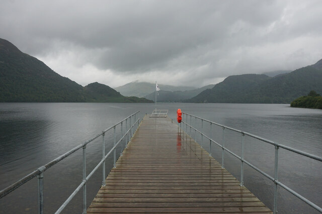
Common Fell is easily accessible via a network of footpaths and trails, allowing visitors to explore the diverse terrain and appreciate the stunning vistas. Whether it's a leisurely stroll or a challenging hike, Common Fell offers an unforgettable experience for those seeking tranquility and a connection with nature in the heart of Cumberland.
If you have any feedback on the listing, please let us know in the comments section below.
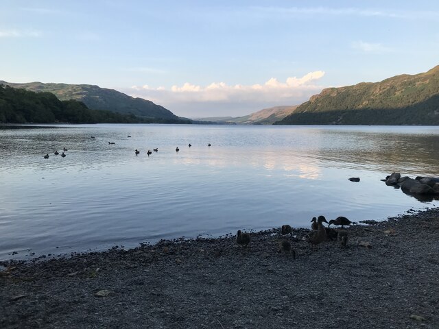
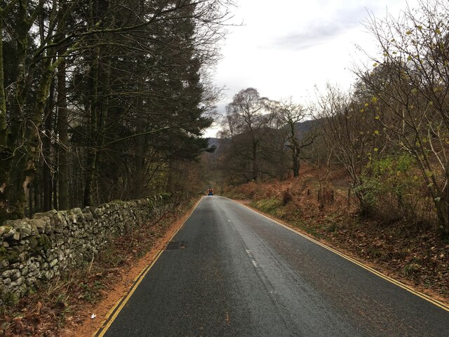
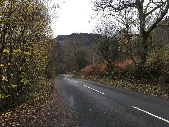
Common Fell Images
Images are sourced within 2km of 54.576721/-2.956959 or Grid Reference NY3820. Thanks to Geograph Open Source API. All images are credited.


Common Fell is located at Grid Ref: NY3820 (Lat: 54.576721, Lng: -2.956959)
Administrative County: Cumbria
District: Eden
Police Authority: Cumbria
What 3 Words
///bombard.months.inflict. Near Keswick, Cumbria
Nearby Locations
Related Wikis
Dockray, Eden
Dockray (traditionally Dockwray) is a village in the civil parish of Matterdale, in the Eden district, in the county of Cumbria, England. In the 2011 census...

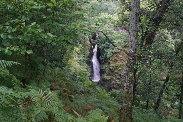
Aira Force
Aira Force is a waterfall in the English Lake District, in the civil parish of Matterdale and the county of Cumbria. The site of the waterfall is owned...
Hart Side
Hart Side (the hill side frequented by harts) is a subsidiary top on one of the east ridges of Stybarrow Dodd, which is a mountain (or fell) in the English...
Sheffield Pike
Sheffield Pike (possibly meaning "the peak above the sheep fold") is a fell in the English Lake District, a prominent intermediate top on one of the eastern...

Gowbarrow Fell
Gowbarrow Fell (Windy hill) is a low fell in the English Lake District. It is an outlier of the Eastern Fells, standing to the north of Ullswater, bounded...

Glenridding Dodd
Glenridding Dodd (the rounded hill above Glenridding) is a small fell in the English Lake District, at the end of a ridge descending from the Helvellyn...

Ulcat Row
Ulcat Row (also Ulcatrow) is a village in the civil parish of Matterdale, in the Eden district, in the county of Cumbria, England. In the 2011 census,...
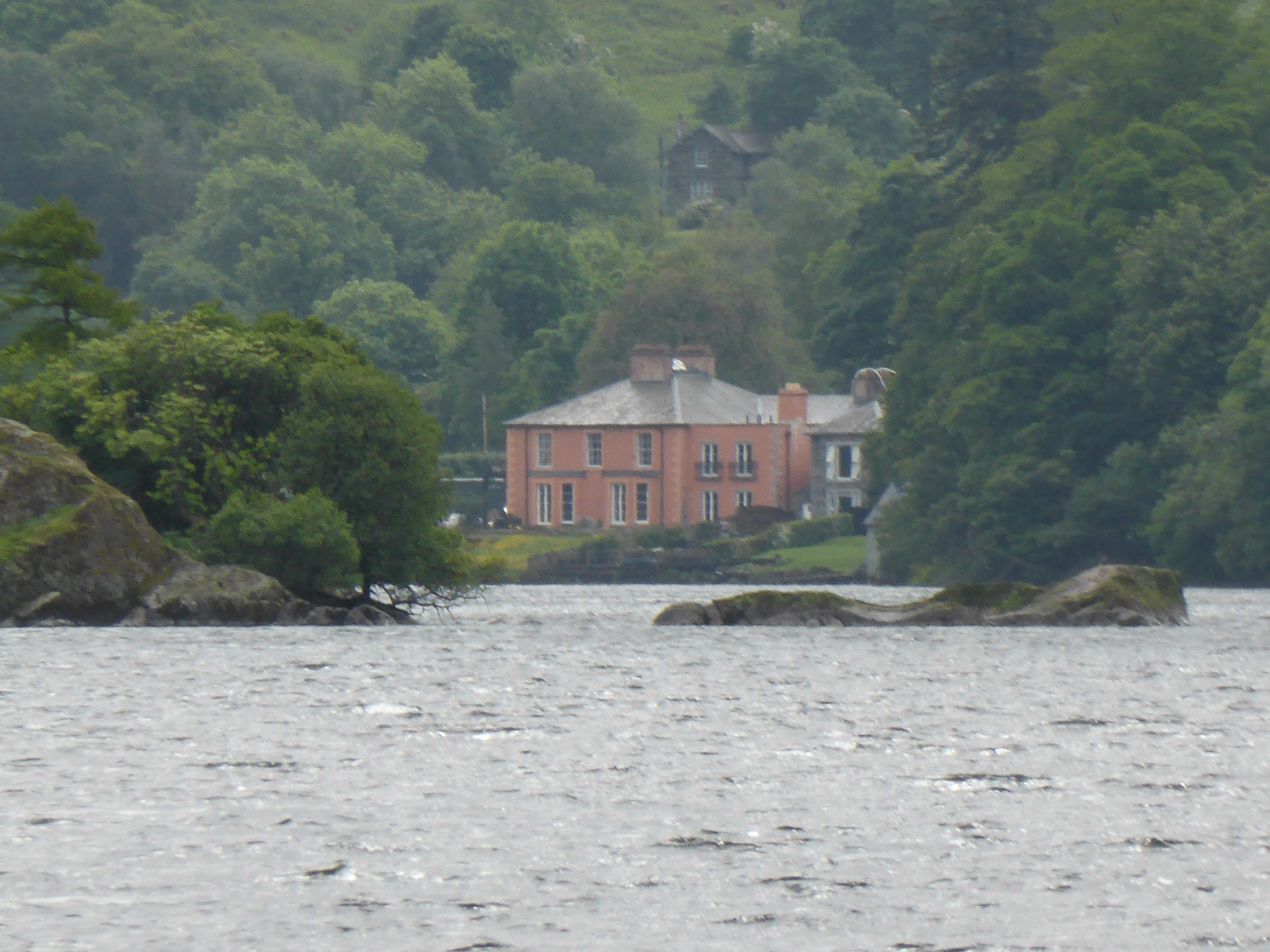
Glenridding House
Glenridding House is a Regency era building in Glenridding on Ullswater, constructed between 1807 and 1814. It was a private summer villa until about 1860...
Nearby Amenities
Located within 500m of 54.576721,-2.956959Have you been to Common Fell?
Leave your review of Common Fell below (or comments, questions and feedback).