Birkett Fell
Downs, Moorland in Cumberland Eden
England
Birkett Fell

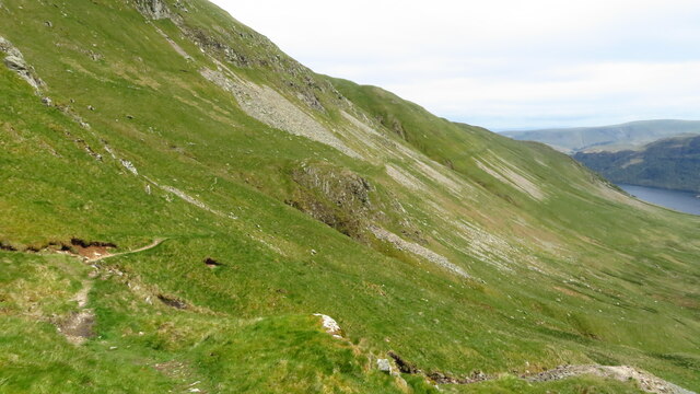
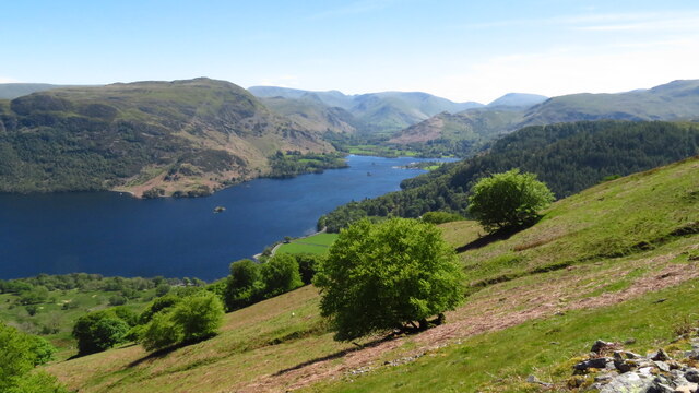
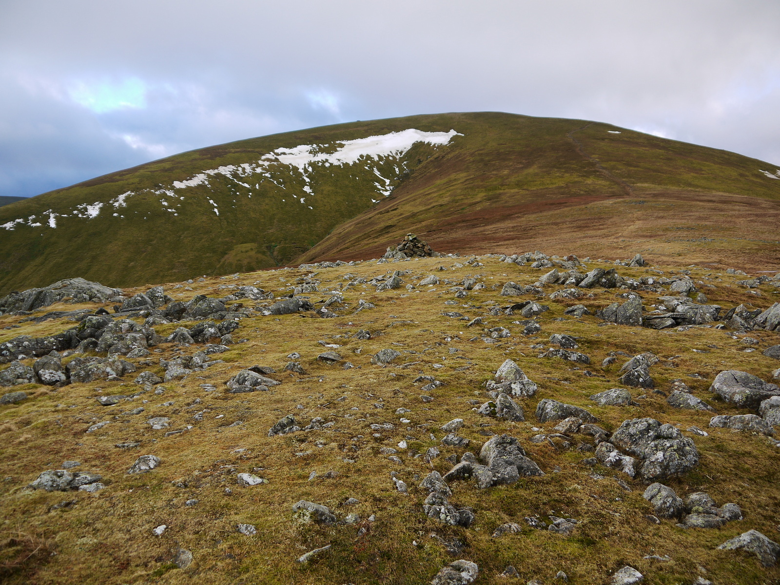
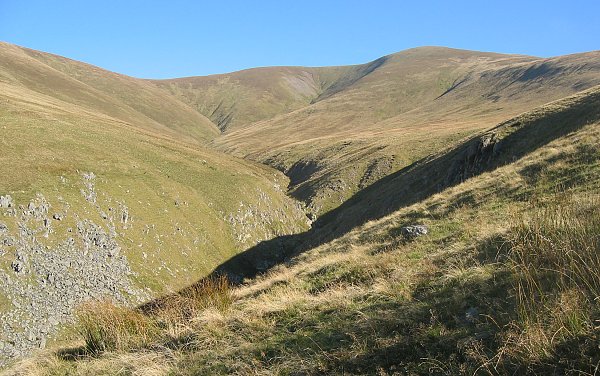
Birkett Fell, located in the county of Cumberland in England, is a picturesque and rugged moorland area that offers breathtaking views and a tranquil atmosphere. Situated in the northwestern part of the county, it forms part of the larger Lake District National Park, renowned for its natural beauty and outdoor attractions.
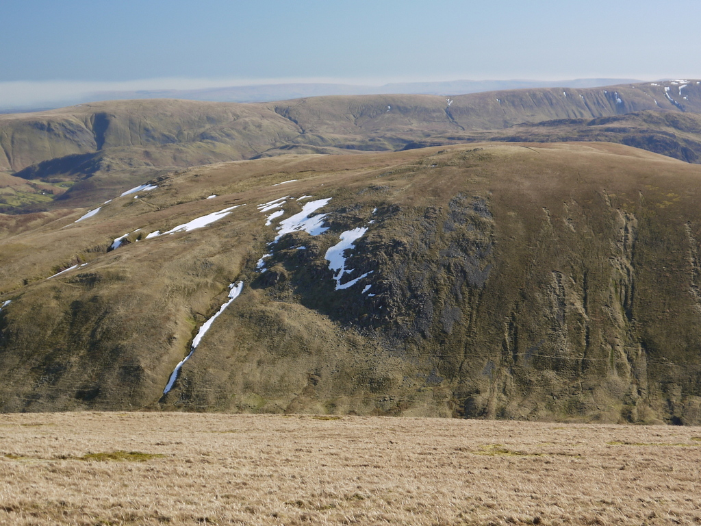
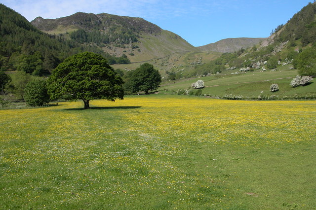
The fell is characterized by its rolling hills, heather-covered moors, and scattered rocky outcrops, creating a diverse and visually stunning landscape. Walking trails crisscross the area, allowing visitors to explore its unique features and enjoy the peaceful surroundings. The terrain offers a moderate level of difficulty, making it suitable for both seasoned hikers and casual walkers.
Wildlife enthusiasts will find Birkett Fell to be a haven for diverse flora and fauna. The moorland is home to various species of birds, including skylarks and red grouse, which can be spotted soaring above the heath. Additionally, the fell is known for its vibrant displays of wildflowers, such as heather and bilberry, adding bursts of color to the otherwise earthy tones of the landscape.
The fell's location within the Lake District National Park means that it benefits from the protection and preservation efforts aimed at conserving the area's natural beauty. Visitors can expect to encounter a peaceful and unspoiled environment, as well as stunning vistas of the surrounding valleys and distant mountains.
Overall, Birkett Fell is a captivating destination for nature lovers and outdoor enthusiasts seeking a tranquil and visually striking experience in the heart of the Cumbrian countryside.
If you have any feedback on the listing, please let us know in the comments section below.
Birkett Fell Images
Images are sourced within 2km of 54.570404/-2.9859838 or Grid Reference NY3619. Thanks to Geograph Open Source API. All images are credited.


Birkett Fell is located at Grid Ref: NY3619 (Lat: 54.570404, Lng: -2.9859838)
Administrative County: Cumbria
District: Eden
Police Authority: Cumbria
What 3 Words
///conveying.stop.clipboard. Near Keswick, Cumbria
Nearby Locations
Related Wikis
Hart Side
Hart Side (the hill side frequented by harts) is a subsidiary top on one of the east ridges of Stybarrow Dodd, which is a mountain (or fell) in the English...
Sheffield Pike
Sheffield Pike (possibly meaning "the peak above the sheep fold") is a fell in the English Lake District, a prominent intermediate top on one of the eastern...
Great Dodd
Great Dodd (meaning: big round hill) is a mountain or fell in the English Lake District. It stands on the main ridge of the Helvellyn range, a line of...
Stybarrow Dodd
Stybarrow Dodd (the hill of the steep path) is a mountain or fell in the English Lake District. It stands immediately north of Sticks Pass on the main...
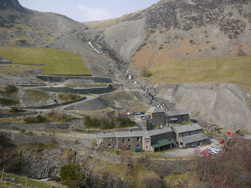
Greenside Mine
Greenside Mine (sometimes referred to as Greenside Lead Mine) was a successful lead mine in the Lake District of England. Between 1825 and 1961 the mine...
Watson's Dodd
Watson's Dodd is a fell in the English Lake District, a minor rise on the main ridge of the Helvellyn range in the Eastern Fells, but a prominent shoulder...

Glenridding Dodd
Glenridding Dodd (the rounded hill above Glenridding) is a small fell in the English Lake District, at the end of a ridge descending from the Helvellyn...

Raise (Lake District)
Raise is a fell in the English Lake District. It stands on the main spine of the Helvellyn range in the Eastern Fells, between Thirlmere and Ullswater...
Nearby Amenities
Located within 500m of 54.570404,-2.9859838Have you been to Birkett Fell?
Leave your review of Birkett Fell below (or comments, questions and feedback).