Wellbrook Park
Downs, Moorland in Herefordshire
England
Wellbrook Park

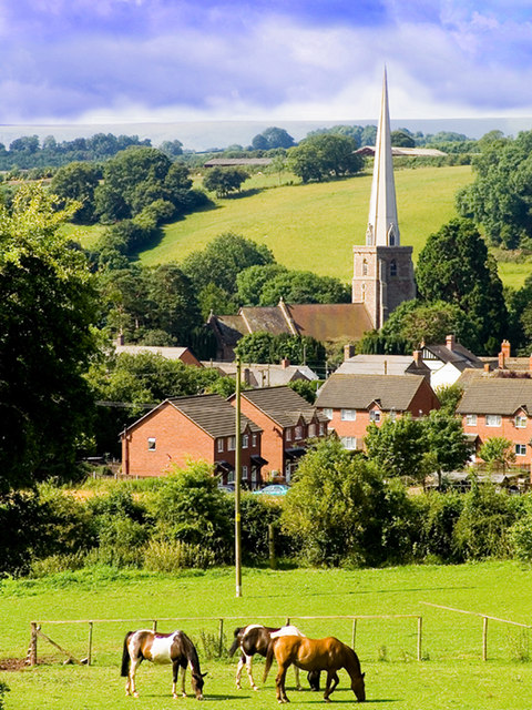
Wellbrook Park is a picturesque natural area located in Herefordshire, known for its stunning downs and moorland landscapes. Spanning across a vast area, the park offers visitors a unique experience of the British countryside.
The downs in Wellbrook Park are characterized by their rolling hills and open grasslands. These areas provide breathtaking panoramic views of the surrounding countryside, with the undulating landscape stretching as far as the eye can see. The downs are home to a variety of plant and animal species, making it a haven for nature enthusiasts and wildlife lovers.
Adjacent to the downs, the moorland in Wellbrook Park showcases a different kind of natural beauty. Here, visitors can explore the rugged terrain, featuring heather-covered hills, rocky outcrops, and meandering streams. The moorland is also home to several rare bird species, making it a popular destination for birdwatchers and ornithologists.
Wellbrook Park offers visitors numerous walking trails, allowing them to immerse themselves in the natural surroundings. Whether it's a leisurely stroll through the downs or a challenging hike through the moorland, the park caters to individuals of all fitness levels and interests.
Additionally, the park provides facilities for picnicking, making it a perfect spot for families and friends to enjoy a day out in nature. Wellbrook Park is open year-round and offers a peaceful escape from the hustle and bustle of everyday life.
Overall, Wellbrook Park in Herefordshire is a haven of natural beauty, boasting downs and moorland landscapes that are sure to leave visitors in awe.
If you have any feedback on the listing, please let us know in the comments section below.
Wellbrook Park Images
Images are sourced within 2km of 52.038727/-2.9296173 or Grid Reference SO3638. Thanks to Geograph Open Source API. All images are credited.


Wellbrook Park is located at Grid Ref: SO3638 (Lat: 52.038727, Lng: -2.9296173)
Unitary Authority: County of Herefordshire
Police Authority: West Mercia
What 3 Words
///should.grinders.allow. Near Turnastone, Herefordshire
Nearby Locations
Related Wikis
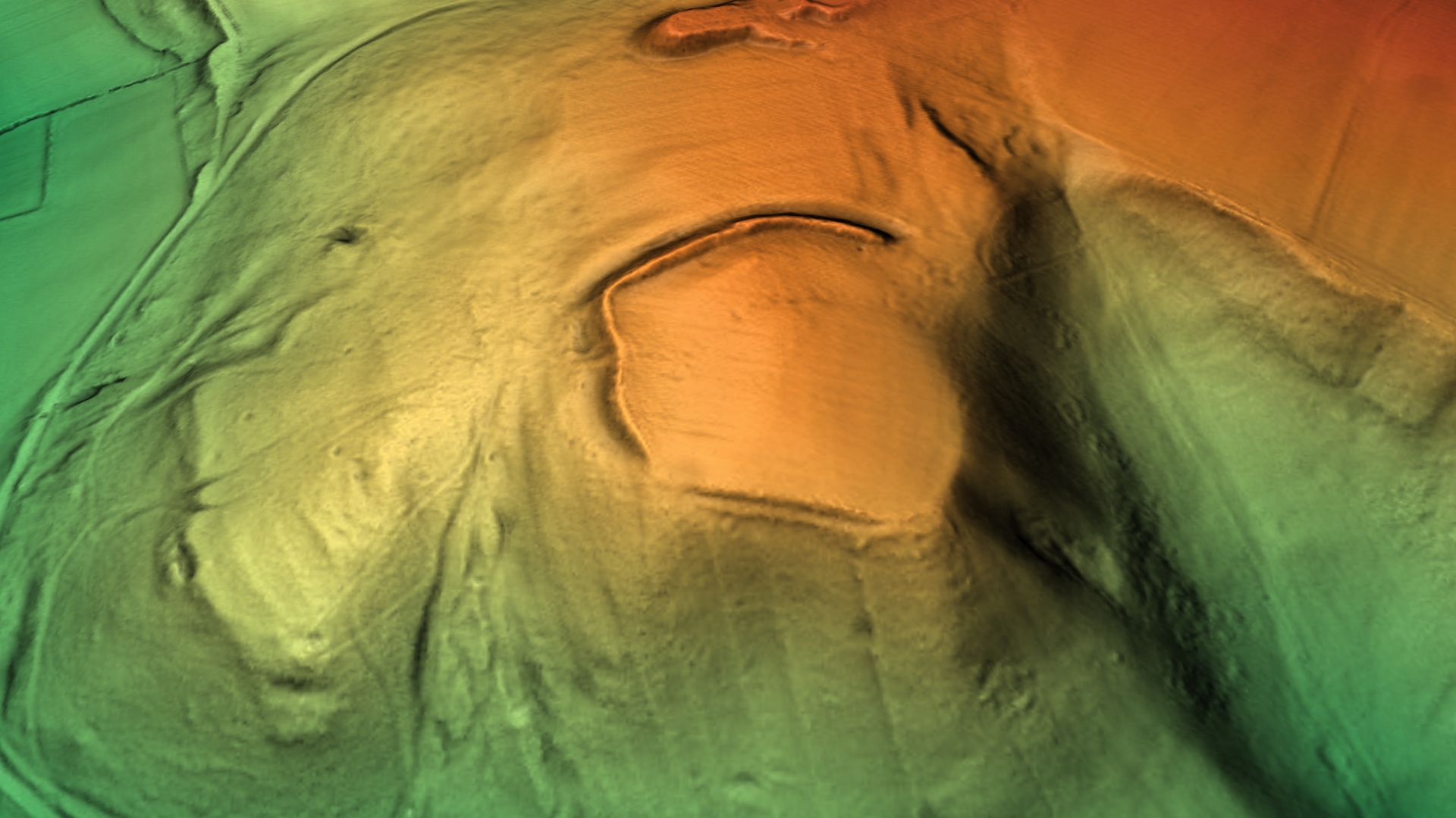
Poston Camp
Poston Camp is an Iron Age hill fort located just south of Vowchurch, Herefordshire. == Further reading == Children, G; Nash, G (1994) Prehistoric Sites...

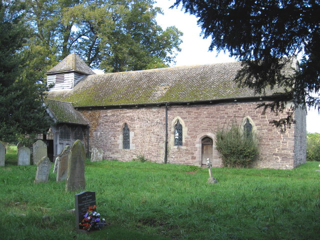
Vowchurch
Vowchurch is a village and civil parish in Herefordshire, England, situated in the Golden Valley, on the River Dore. The village is about 10 miles (16...
Peterchurch
Peterchurch is a village and civil parish in the Golden Valley, Herefordshire, England. The countryside around is spectacular, with views of the Black...

Fairfield High School, Peterchurch
Fairfield High School is a coeducational secondary school located in Peterchurch, Herefordshire, England. Fairfield High School is located in the Golden...
Turnastone
Turnastone is a village and civil parish 10 miles (16 km) west of Hereford, in the county of Herefordshire, England. In 2001 the parish had a population...
Vowchurch railway station
Vowchurch railway station was a railway station on the Golden Valley Railway line between Abergavenny and Hay-on-Wye. It served the village of Vowchurch...
Peterchurch railway station
Peterchurch railway station was a station in Peterchurch, Herefordshire, England. The station was opened in 1901, closed to passengers in 1941 and closed...

Tyberton
Tyberton or Tiberton is a village and civil parish 8 miles (13 km) west of Hereford, in the county of Herefordshire, England. In 2011 the parish had a...
Nearby Amenities
Located within 500m of 52.038727,-2.9296173Have you been to Wellbrook Park?
Leave your review of Wellbrook Park below (or comments, questions and feedback).