Todcrag Moss
Downs, Moorland in Cumberland Eden
England
Todcrag Moss

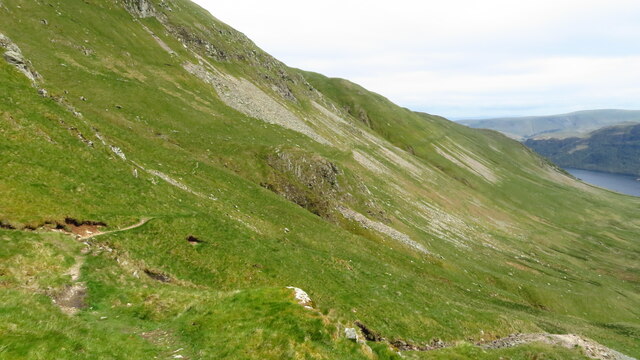
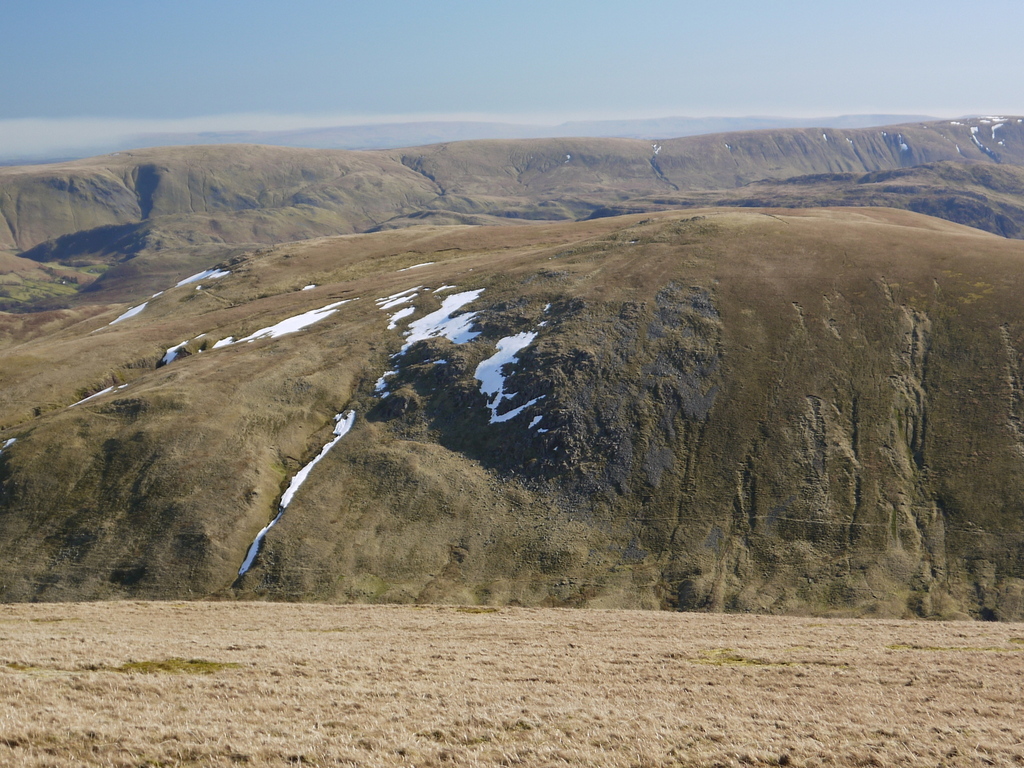
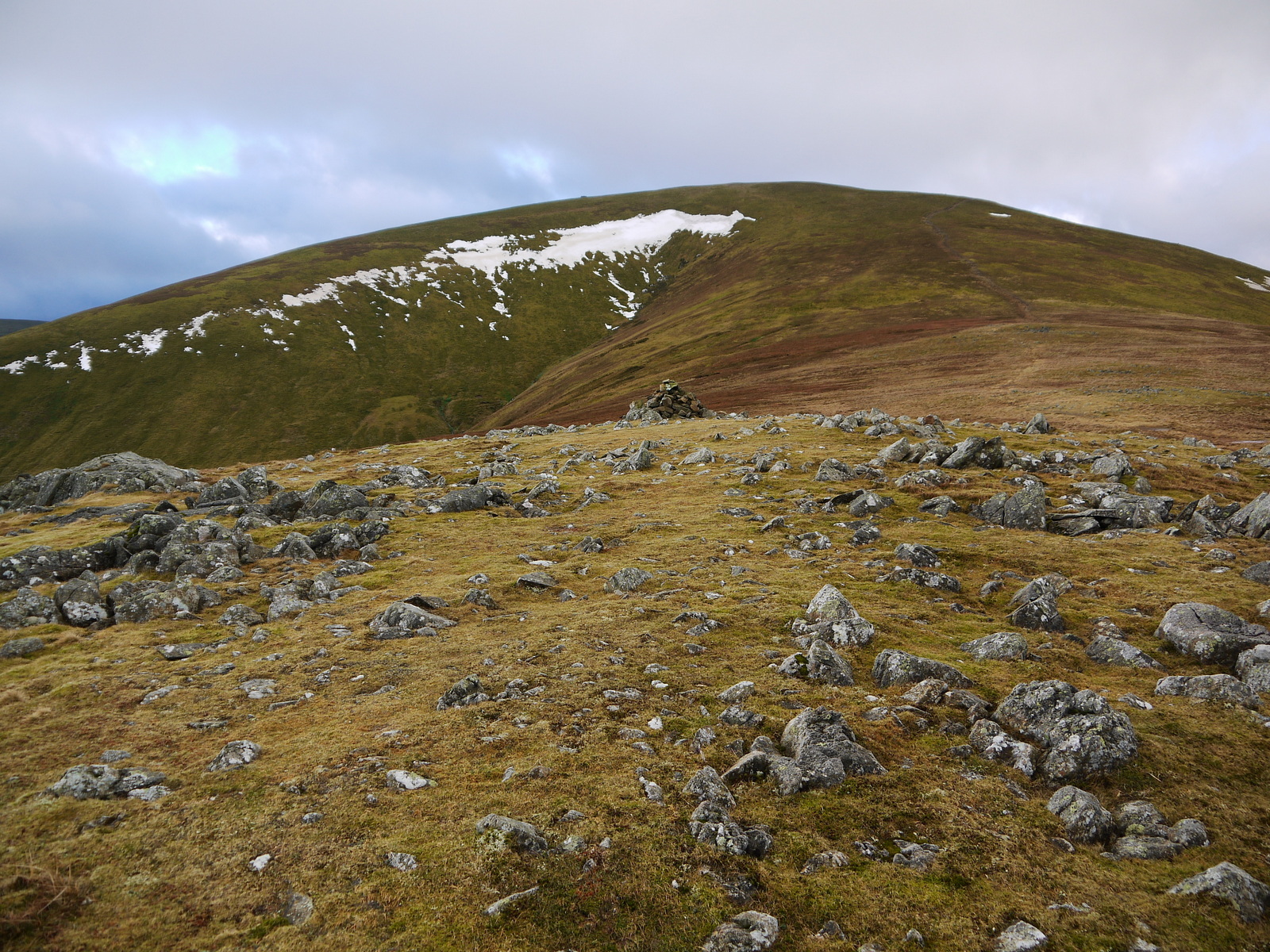
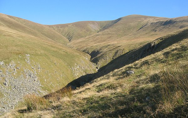
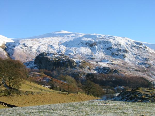
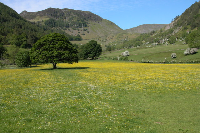
Todcrag Moss is a significant natural area located in Cumberland, England. Situated in the Downs region, this vast expanse of moorland is renowned for its unique and diverse ecosystem. Covering an extensive area, Todcrag Moss is characterized by its undulating landscape, consisting of peat bogs, heath, and open grasslands.
The moss is home to a wide range of plant and animal species, making it an important habitat for biodiversity. The wetland areas are dominated by sphagnum mosses, which create a spongy surface and help to retain water, creating the ideal conditions for a variety of plant species to thrive. Heather, cotton grass, and bog myrtle are just a few examples of the vegetation that can be found in this diverse ecosystem.
Moreover, Todcrag Moss supports a rich and diverse avian population. Visitors may spot a variety of bird species such as curlews, lapwings, and red grouse, which have adapted to the unique moorland environment. The area also provides a suitable habitat for several reptile and mammal species, including adders and the elusive red deer.
Todcrag Moss offers visitors the opportunity to experience the beauty and tranquility of the moorland landscape. It is a popular destination for nature enthusiasts and hikers who can explore the area through well-maintained trails, allowing them to discover the remarkable biodiversity and stunning vistas.
As a designated nature reserve, Todcrag Moss plays a crucial role in conservation efforts, protecting the fragile ecosystem and ensuring the preservation of its unique flora and fauna for future generations to enjoy.
If you have any feedback on the listing, please let us know in the comments section below.
Todcrag Moss Images
Images are sourced within 2km of 54.574772/-2.9969182 or Grid Reference NY3520. Thanks to Geograph Open Source API. All images are credited.


Todcrag Moss is located at Grid Ref: NY3520 (Lat: 54.574772, Lng: -2.9969182)
Administrative County: Cumbria
District: Eden
Police Authority: Cumbria
What 3 Words
///owned.lodge.sing. Near Keswick, Cumbria
Nearby Locations
Related Wikis
Hart Side
Hart Side (the hill side frequented by harts) is a subsidiary top on one of the east ridges of Stybarrow Dodd, which is a mountain (or fell) in the English...
Great Dodd
Great Dodd (meaning: big round hill) is a mountain or fell in the English Lake District. It stands on the main ridge of the Helvellyn range, a line of...
Stybarrow Dodd
Stybarrow Dodd (the hill of the steep path) is a mountain or fell in the English Lake District. It stands immediately north of Sticks Pass on the main...
Watson's Dodd
Watson's Dodd is a fell in the English Lake District, a minor rise on the main ridge of the Helvellyn range in the Eastern Fells, but a prominent shoulder...
Sheffield Pike
Sheffield Pike (possibly meaning "the peak above the sheep fold") is a fell in the English Lake District, a prominent intermediate top on one of the eastern...
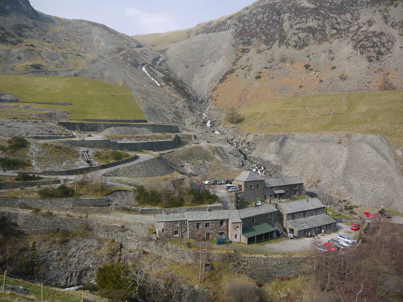
Greenside Mine
Greenside Mine (sometimes referred to as Greenside Lead Mine) was a successful lead mine in the Lake District of England. Between 1825 and 1961 the mine...

Clough Head
Clough Head ( ) (meaning: hill-top above the ravine) is a fell, or hill, in the English Lake District. It marks the northern end of the main ridge of the...

Raise (Lake District)
Raise is a fell in the English Lake District. It stands on the main spine of the Helvellyn range in the Eastern Fells, between Thirlmere and Ullswater...
Nearby Amenities
Located within 500m of 54.574772,-2.9969182Have you been to Todcrag Moss?
Leave your review of Todcrag Moss below (or comments, questions and feedback).