White Moss

Downs, Moorland in Lancashire South Lakeland

England

White Moss

Cumbria Coastal Way, Speel Bank The gate, on the footpath between Grassgarth and Speel Bank Farm is, like almost all the gates on and adjacent to public rights of way in this area, marred by an unwelcoming sign warning against trespass.
Far from the sea and more than 150m (500 feet) above sea level, this footpath is nevertheless the route of The Cumbria Coastal Way and the link between established sections of the England Coast Path. This section of the England Coast Path has not yet been defined due to protracted negotiations with Holker Estates.
Cumbria Coastal Way, Speel Bank Credit: Adrian Taylor

White Moss is a picturesque area located in the county of Lancashire, England. Situated on the outskirts of the town of Lytham St Annes, White Moss is known for its diverse natural landscape, consisting of downs and moorland.

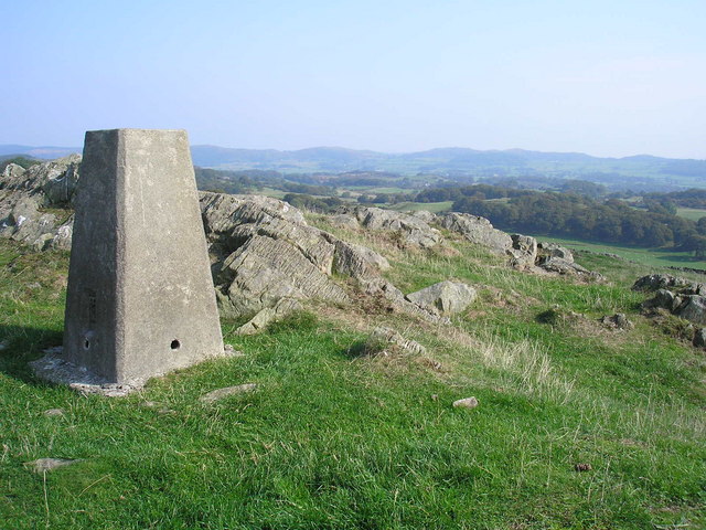
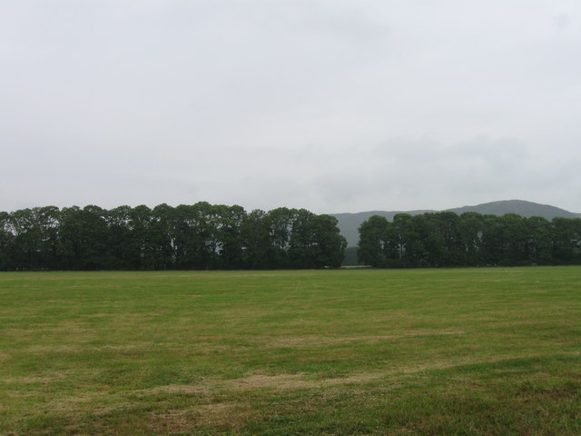
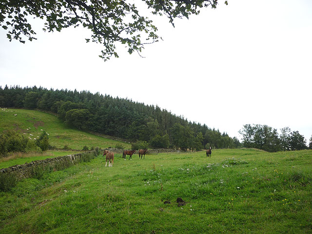
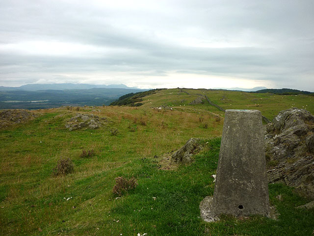
The downs in White Moss are characterized by their gently rolling hills and expansive grasslands. These open spaces provide ideal grazing grounds for livestock, and visitors often encounter sheep and cattle dotting the landscape. The downs offer breathtaking panoramic views of the surrounding countryside, with the sparkling Irish Sea visible in the distance.

In contrast, the moorland areas of White Moss are characterized by their rugged terrain and heather-covered hills. This unique habitat supports a variety of wildlife, including birds such as grouse and curlews, as well as small mammals like hares and voles. The moorland is also home to several rare plant species, including the iconic purple heather that blankets the hillsides during the summer months.

White Moss offers a range of recreational activities for visitors to enjoy. The downs provide ample space for hiking, picnicking, and kite flying, while the moorland offers opportunities for birdwatching and nature photography. The area is crisscrossed with walking trails, allowing visitors to explore the diverse landscape at their own pace.

Overall, White Moss in Lancashire is a haven for nature lovers and outdoor enthusiasts. Its downs and moorland offer a unique blend of natural beauty and diverse wildlife, making it a must-visit destination for those seeking a peaceful and scenic escape.

If you have any feedback on the listing, please let us know in the comments section below.
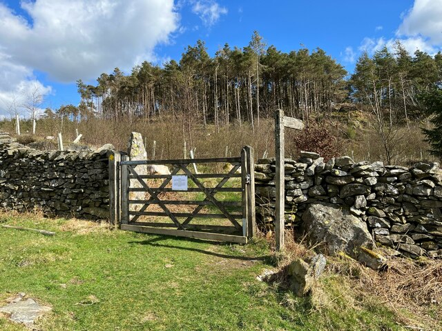
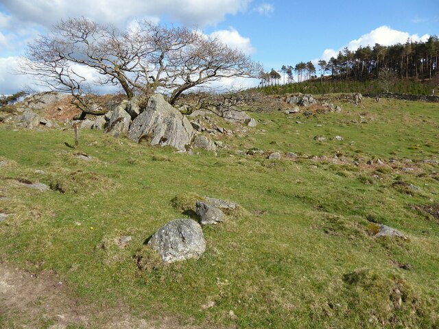
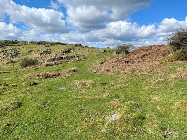
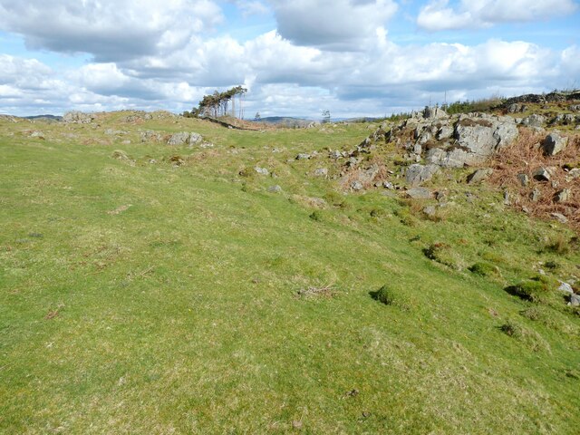
White Moss Images

Images are sourced within 2km of 54.21435/-3.0040102 or Grid Reference SD3480. Thanks to Geograph Open Source API. All images are credited.

Cumbria Coastal Way, Speel Bank The gate, on the footpath between Grassgarth and Speel Bank Farm is, like almost all the gates on and adjacent to public rights of way in this area, marred by an unwelcoming sign warning against trespass.
Far from the sea and more than 150m (500 feet) above sea level, this footpath is nevertheless the route of The Cumbria Coastal Way and the link between established sections of the England Coast Path. This section of the England Coast Path has not yet been defined due to protracted negotiations with Holker Estates.
Cumbria Coastal Way, Speel Bank
The gate, on the footpath between Grassgarth and Speel Bank Farm is, like almost all the gates on and adjacent to public rights of way in this area, marred by an unwelcoming sign warning against trespass. Far from the sea and more than 150m (500 feet) above sea level, this footpath is nevertheless the route of The Cumbria Coastal Way and the link between established sections of the England Coast Path. This section of the England Coast Path has not yet been defined due to protracted negotiations with Holker Estates.
Rocks near Speel Bank The small wooden waymark post to the left of the photograph marks the route of the public footpath from Speel Bank Farm to Grassgarth.  Far from the sea and more than 150m (500 feet) above sea level, this footpath is nevertheless the route of The Cumbria Coastal Way and the link between established sections of the England Coast Path. This section of the England Coast Path has not yet been defined due to negotiations with Holker Estates proving difficult to conclude.
Rocks near Speel Bank
The small wooden waymark post to the left of the photograph marks the route of the public footpath from Speel Bank Farm to Grassgarth. Far from the sea and more than 150m (500 feet) above sea level, this footpath is nevertheless the route of The Cumbria Coastal Way and the link between established sections of the England Coast Path. This section of the England Coast Path has not yet been defined due to negotiations with Holker Estates proving difficult to conclude.
Footpath near Speel Bank This is the route of the public footpath from Speel Bank Farm to Grassgarth.  Far from the sea and more than 150m (500 feet) above sea level, this upland footpath is the route of The Cumbria Coastal Way and the link between established sections of the England Coast Path.  This section of the England Coast Path has not yet been defined due to difficulties in negotiating a satisfactory coastal route through land managed by Holker Estates.
Footpath near Speel Bank
This is the route of the public footpath from Speel Bank Farm to Grassgarth. Far from the sea and more than 150m (500 feet) above sea level, this upland footpath is the route of The Cumbria Coastal Way and the link between established sections of the England Coast Path. This section of the England Coast Path has not yet been defined due to difficulties in negotiating a satisfactory coastal route through land managed by Holker Estates.
Rocky pasture near Speel Bank The stand of trees have been left by felling in the Great Allotment plantation.
Rocky pasture near Speel Bank
The stand of trees have been left by felling in the Great Allotment plantation.
Ellers Moss A stone's throw from the coast at Greenodd Sands
Ellers Moss
A stone's throw from the coast at Greenodd Sands
Country Road Near Howbarrow Cartmel
Country Road
Near Howbarrow Cartmel
Park Head Looking across the foreshore towards the Coniston Fells
Park Head
Looking across the foreshore towards the Coniston Fells
Limestone Low Frith On the shore a small limestone cliff
Limestone Low Frith
On the shore a small limestone cliff
Road to Frith Hall On the estuary of the River Leven. The fells are calling.
Road to Frith Hall
On the estuary of the River Leven. The fells are calling.
How Barrow At the trig point, looking north east.
How Barrow
At the trig point, looking north east.
How Barrow Looking along the top from the trig point.
How Barrow
Looking along the top from the trig point.
Low Frith viewed from across the Leven Estuary
Mackereth's Plantation
Horses in field near Howbarrow Mount Barnard beyond.
Horses in field near Howbarrow
Mount Barnard beyond.
Pasture, south slopes of How Barrow Looking down on the Leven estuary.
Pasture, south slopes of How Barrow
Looking down on the Leven estuary.
The top of How Barrow (170m) Looking north along the high ground towards the Coniston fells and Red Screes.
The top of How Barrow (170m)
Looking north along the high ground towards the Coniston fells and Red Screes.
Flush bracket bench mark, How Barrow trig point OS BM S5588 at an altitude of 170.0337m asl.
Flush bracket bench mark, How Barrow trig point
OS BM S5588 at an altitude of 170.0337m asl.
Sheep on How Barrow High above the Leven estuary.
Sheep on How Barrow
High above the Leven estuary.
Show me another place!

White Moss is located at Grid Ref: SD3480 (Lat: 54.21435, Lng: -3.0040102)

Administrative County: Cumbria

District: South Lakeland

Police Authority: Cumbria

What 3 Words

///trombone.state.shopping. Near Flookburgh, Cumbria

Related Wikis

Bigland Tarn

Bigland Tarn is a lake in Cumbria, England, about 3/4 mile southeast of Haverthwaite. Located at an elevation of 158 m (518 ft), the lake has an area of...

Cartmel Peninsula

Cartmel Peninsula is a peninsula in Cumbria in England. It juts in a southerly direction into Morecambe Bay, bordered by the estuaries of the River Leven...

Haverthwaite

Haverthwaite is a small village and civil parish in the Furness region of Cumbria, England. It is also within the boundaries of the Lake District National...
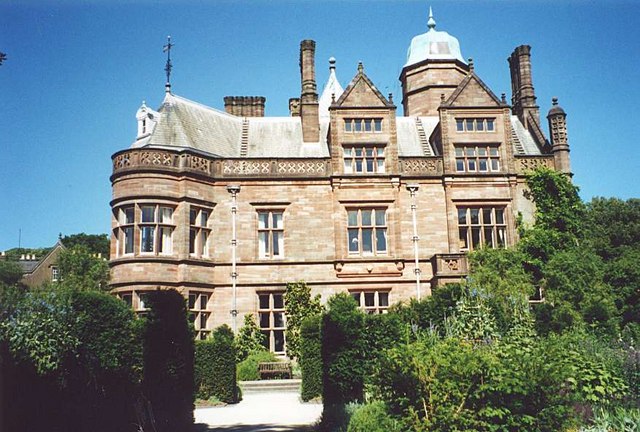
Holker Hall

Holker Hall (pronounced Hooker by some) is a privately owned country house located about 2 km to the southwest of the village of Cartmel in the ceremonial...

Have you been to White Moss?

Leave your review of White Moss below (or comments, questions and feedback).