Campbell Park

Downs, Moorland in Midlothian

Scotland

Campbell Park

Colliery cat kipping in coal At the National Mining Museum Scotland, the former Lady Victoria Colliery.
Colliery cat kipping in coal Credit: Robin Webster

Campbell Park, located in Midlothian, Scotland, is a charming and picturesque area renowned for its stunning downs and moorland landscapes. Spanning over a vast expanse of approximately 200 acres, the park offers visitors a unique and tranquil experience amidst nature.

The downs of Campbell Park are characterized by their rolling hills and lush greenery, making it an ideal destination for nature lovers and outdoor enthusiasts. The undulating terrain provides panoramic views of the surrounding countryside, creating a serene and peaceful atmosphere. The park boasts an array of well-maintained walking and hiking trails, catering to individuals of all fitness levels.

In addition to the downs, Campbell Park also encompasses extensive moorland, which adds to its natural charm. The moorlands are adorned with heather, bracken, and various native flora, creating a beautiful tapestry of colors throughout the seasons. This diverse ecosystem supports a wide range of wildlife, including birds, mammals, and insects, making it a haven for nature enthusiasts and birdwatchers.

Visitors to Campbell Park can take advantage of the various amenities and facilities available. The park features ample parking space, picnic areas, and well-maintained public toilets. Furthermore, there are designated areas for recreational activities such as cycling, horse riding, and kite flying.

Campbell Park, Midlothian, is a hidden gem that offers a peaceful retreat from the hustle and bustle of everyday life. Its downs and moorlands provide a stunning backdrop for outdoor activities, and its natural beauty is sure to captivate visitors of all ages.

If you have any feedback on the listing, please let us know in the comments section below.

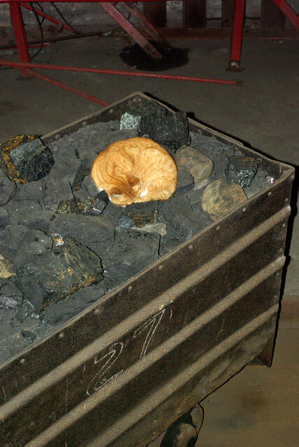
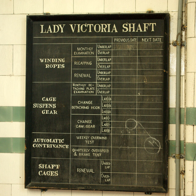
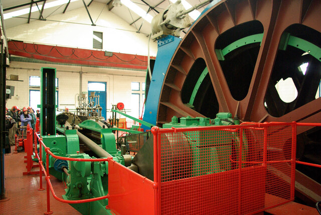
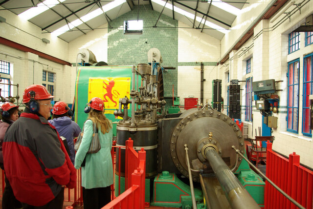
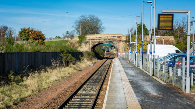
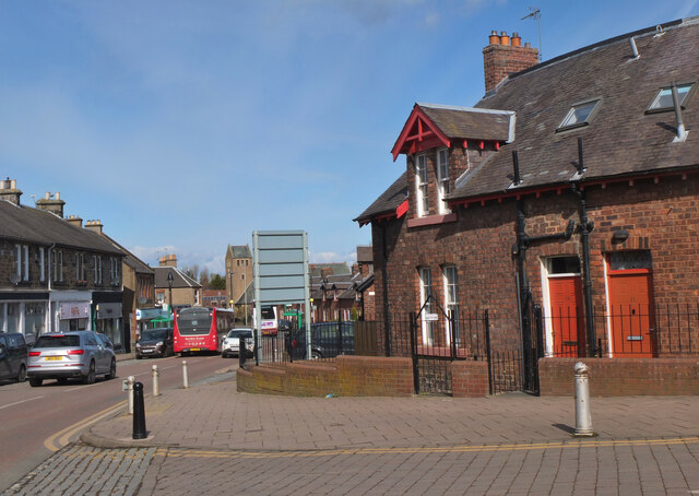
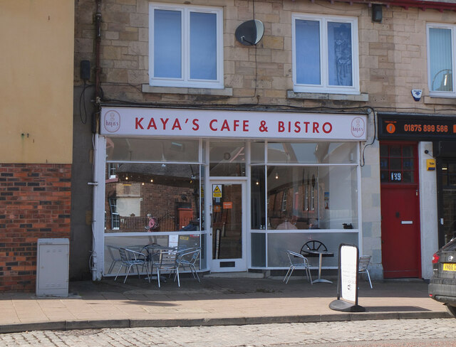
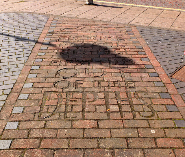
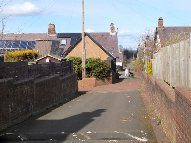
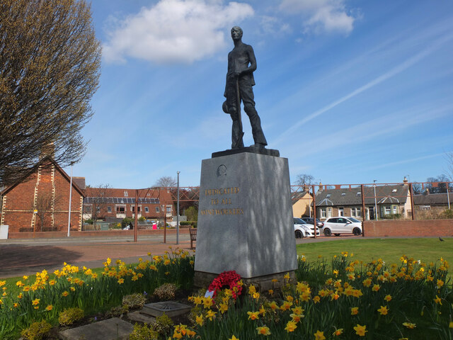
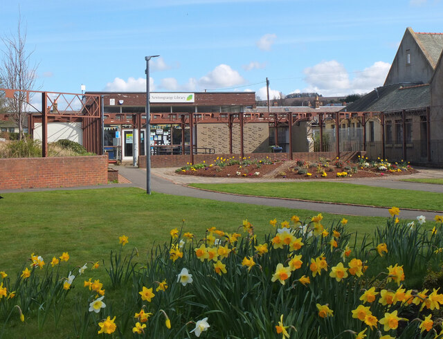
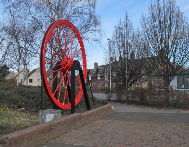
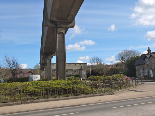
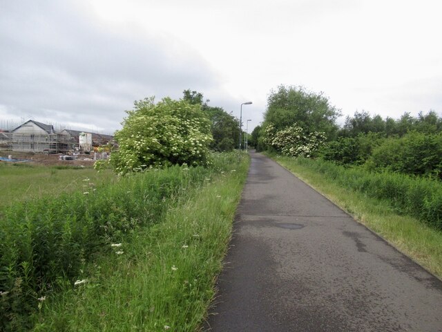
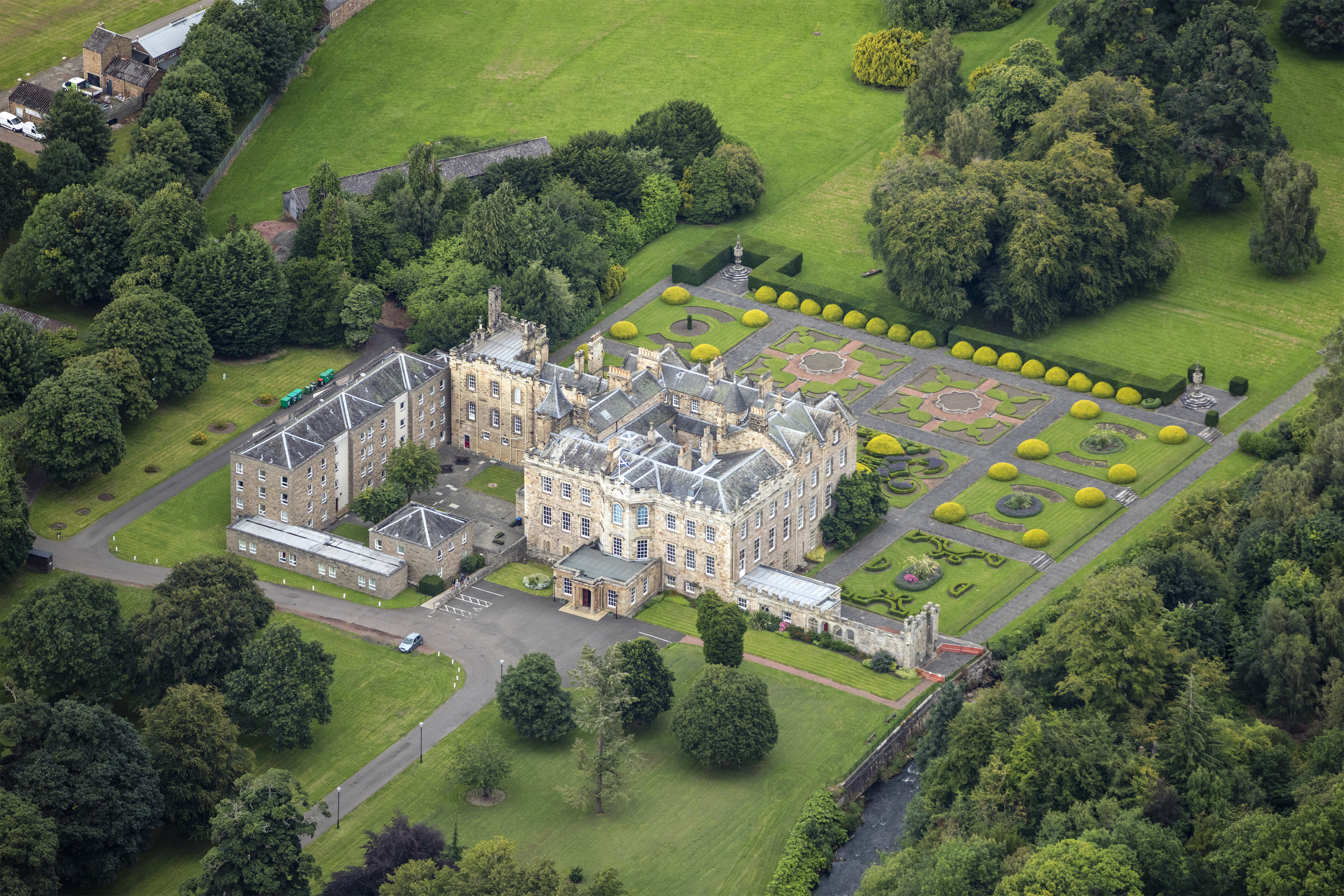
Campbell Park Images

Images are sourced within 2km of 55.87623/-3.0603652 or Grid Reference NT3365. Thanks to Geograph Open Source API. All images are credited.

Colliery cat kipping in coal At the National Mining Museum Scotland, the former Lady Victoria Colliery.
Colliery cat kipping in coal
At the National Mining Museum Scotland, the former Lady Victoria Colliery.
Equipment maintenance board, Lady Victoria Shaft At the National Mining Museum Scotland. The 'Automatic contrivance' is intriguing, a term apparently commonly used without a more specific name.
Equipment maintenance board, Lady Victoria Shaft
At the National Mining Museum Scotland. The 'Automatic contrivance' is intriguing, a term apparently commonly used without a more specific name.
Winding engine, Lady Victoria Shaft At the National Mining Museum Scotland, at the former Lady Victoria colliery. One side of the steam engine, which no longer has a steam supply, but can be turned over electrically.
Winding engine, Lady Victoria Shaft
At the National Mining Museum Scotland, at the former Lady Victoria colliery. One side of the steam engine, which no longer has a steam supply, but can be turned over electrically.
Winding engine, Lady Victoria Shaft At the National Mining Museum Scotland, at the former Lady Victoria colliery. One side of the steam engine, which no longer has a steam supply, but can be turned over electrically. The winding drum is behind the shield with the flag, the other half of the two cylinder engine is off to the left. The winding ropes, which originally passed through the high port in the end wall, have been removed.
Winding engine, Lady Victoria Shaft
At the National Mining Museum Scotland, at the former Lady Victoria colliery. One side of the steam engine, which no longer has a steam supply, but can be turned over electrically. The winding drum is behind the shield with the flag, the other half of the two cylinder engine is off to the left. The winding ropes, which originally passed through the high port in the end wall, have been removed.
Winding drum and indicators, Lady Victoria Shaft At the National Mining Museum Scotland, at the former Lady Victoria colliery. The winding ropes, which originally passed through the high port in the end wall, have been removed.
Winding drum and indicators, Lady Victoria Shaft
At the National Mining Museum Scotland, at the former Lady Victoria colliery. The winding ropes, which originally passed through the high port in the end wall, have been removed.
Coal face machinery, National Mining Museum Scotland The underground parts of Lady Victoria Colliery have been capped off, but a mock-up of what it is like underground has been made in one of the surface buildings.
Coal face machinery, National Mining Museum Scotland
The underground parts of Lady Victoria Colliery have been capped off, but a mock-up of what it is like underground has been made in one of the surface buildings.
NCB No.21 West Ayr Area at the National Mining Museum Scotland, 2007 There is a view of this nearby in 1982 in very good external condition. Since then it had been neglected, and not until 2019 was something done about it. It was moved to the Bo'ness and Kinneil Railway for cosmetic restoration and returned in 2020. During the first move it was found that the wheel bearings had seized up, and considerable difficult was had in shunting it around. Hopefully 'cosmetic' extended to sorting that out.
NCB No.21 West Ayr Area at the National Mining Museum Scotland, 2007
There is a view of this nearby in 1982 in very good external condition. Since then it had been neglected, and not until 2019 was something done about it. It was moved to the Bo'ness and Kinneil Railway for cosmetic restoration and returned in 2020. During the first move it was found that the wheel bearings had seized up, and considerable difficult was had in shunting it around. Hopefully 'cosmetic' extended to sorting that out.
Tesco Superstore, Eskbank
Newtongrange Station
Main Street, Newtongrange Main Street from its junction with Lingerwood Road. In the foreground is one of the distinctive brick-built cottages of the 19th century mining village.
Main Street, Newtongrange
Main Street from its junction with Lingerwood Road. In the foreground is one of the distinctive brick-built cottages of the 19th century mining village.
Cafe on Main Street, Newtongrange Cafe and takeaway business near the junction with Lingerwood Road.
Cafe on Main Street, Newtongrange
Cafe and takeaway business near the junction with Lingerwood Road.
Picture Palace cinema commemoration, Newtongrange Brickwork in the pavement at the junction of Lingerwood Road and Main Street commemorating the Picture Palace 1915 - 1961, first film Out of the Depths. 

It was situated across the road and the site is now occupied by a block of flats. There is a photograph of the cinema on the Canmore web page <span class="nowrap"><a title="https://canmore.org.uk/site/290825/newtongrange-4-muirdean-road-site-of-cinema" rel="nofollow ugc noopener" href="https://canmore.org.uk/site/290825/newtongrange-4-muirdean-road-site-of-cinema">Link</a><img style="margin-left:2px;" alt="External link" title="External link - shift click to open in new window" src="https://s1.geograph.org.uk/img/external.png" width="10" height="10"/></span> (incorrectly titled as 4 Muirdean Road instead of Murderdean Road).
Picture Palace cinema commemoration, Newtongrange
Brickwork in the pavement at the junction of Lingerwood Road and Main Street commemorating the Picture Palace 1915 - 1961, first film Out of the Depths. It was situated across the road and the site is now occupied by a block of flats. There is a photograph of the cinema on the Canmore web page LinkExternal link (incorrectly titled as 4 Muirdean Road instead of Murderdean Road).
Lane, Newtongrange A lane between Fourth Street and Fifth Street in this 19th century mining village with a gridiron layout. Note the solar panels.
Lane, Newtongrange
A lane between Fourth Street and Fifth Street in this 19th century mining village with a gridiron layout. Note the solar panels.
Statue of a miner, Newtongrange The plinth is inscribed 'Dedicated to All Mineworkers'.
Statue of a miner, Newtongrange
The plinth is inscribed 'Dedicated to All Mineworkers'.
Newtongrange Library The library in a small park next to the church.
Newtongrange Library
The library in a small park next to the church.
Winding wheel, Newtongrange On display in front of the Leisure Centre to commemorate the coal mining industry here.
Winding wheel, Newtongrange
On display in front of the Leisure Centre to commemorate the coal mining industry here.
Former coal conveyor, Newtongrange This spans the A7 at the Lady Victoria Colliery, now the National Mining Museum. See <a href="https://www.geograph.org.uk/photo/6305844">NT3363 : Coal conveyor and National Mining Museum, Newtongrange</a> for a view from the other end.
Former coal conveyor, Newtongrange
This spans the A7 at the Lady Victoria Colliery, now the National Mining Museum. See NT3363 : Coal conveyor and National Mining Museum, Newtongrange for a view from the other end.
Penicuik to Musselburgh Path Passing the hospital with a building site ahead.
Penicuik to Musselburgh Path
Passing the hospital with a building site ahead.
Show me another place!

Campbell Park is located at Grid Ref: NT3365 (Lat: 55.87623, Lng: -3.0603652)

Unitary Authority: Midlothian

Police Authority: The Lothians and Scottish Borders

What 3 Words

///fidgeting.gums.bottled. Near Mayfield, Midlothian

Related Wikis

Newbattle High School

Newbattle High School (formerly Newbattle Community High School) is a non-denominational secondary state school located in Easthouses, Midlothian, Scotland...

Easthouses Lily Miners Welfare F.C.

Easthouses Lily Miners Welfare Football Club are a Scottish football club, based in the Midlothian town of Easthouses. The team currently plays in the...

Easthouses

Easthouses is a settlement in Midlothian, Scotland, lying to the east of Newtongrange and south of Dalkeith. It forms the northern extension of the settlement...

Newbattle Abbey

Newbattle Abbey (Scottish Gaelic: Abaid a' Bhatail Nuaidh) was a Cistercian monastery near the village of Newbattle in Midlothian, Scotland, which subsequently...

Newtongrange Star F.C.

Newtongrange Star Football Club is a Scottish football club based in the village of Newtongrange, Midlothian. The home ground is New Victoria Park. The...

Newtongrange

Newtongrange () is a former mining village in Midlothian, Scotland. Known in local dialect as Nitten, or Nitten by the Bing (), it became Scotland's largest...

Newbattle

Newbattle (from Neubotle, i.e. new dwelling) is a village and civil parish in Midlothian, in the ancient Roman Catholic Diocese of St. Andrews, about seven...
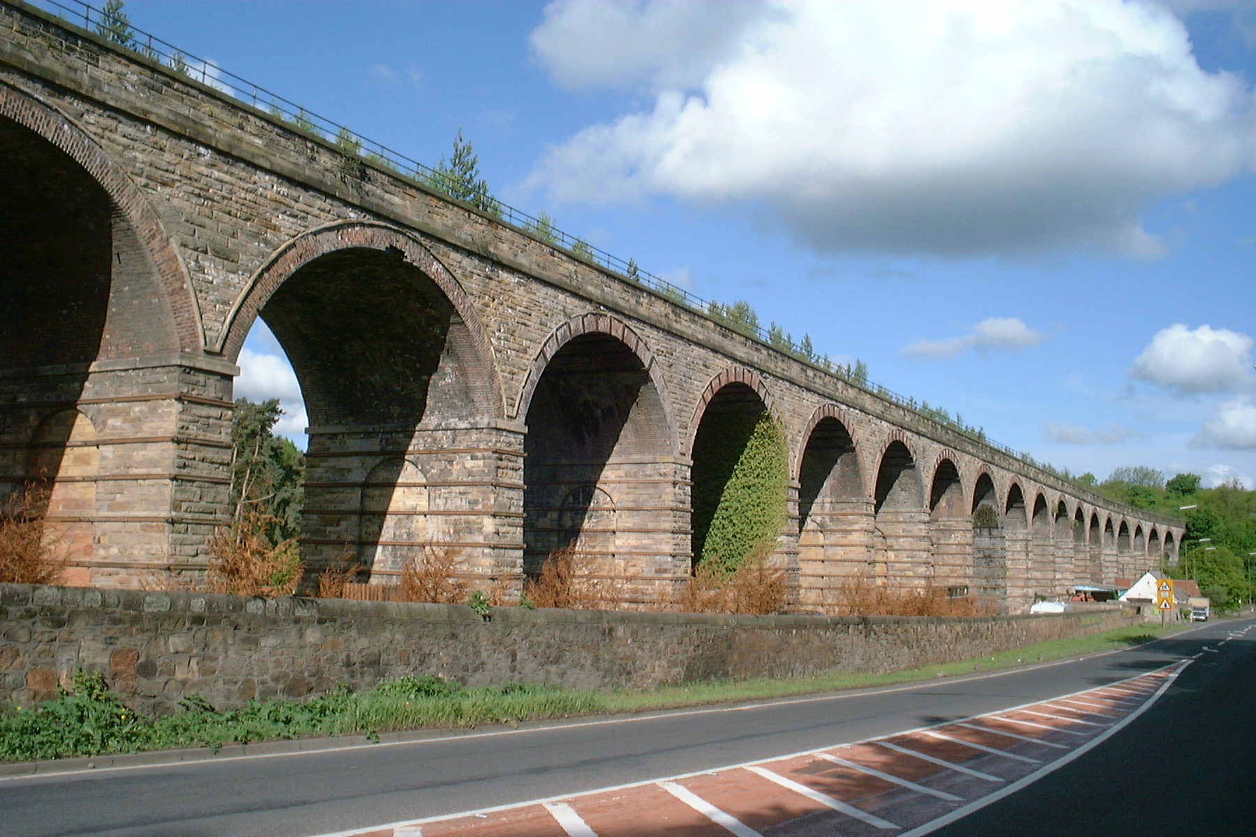
Newbattle Viaduct

The Newbattle Viaduct, sometimes also called the Lothianbridge, Newtongrange or Dalhousie Viaduct, carries the Borders Railway, which opened in 2015, over...

Nearby Amenities

Located within 500m of 55.87623,-3.0603652
Traffic Calming: island
Lat/Long: 55.8777508/-3.0536341
Mini Roundabout
Lat/Long: 55.8777046/-3.0538122
Traffic Calming: island
Lat/Long: 55.8775883/-3.0538355
Barrier: cycle_barrier
Lat/Long: 55.8789611/-3.0550595
Newton Store Two
Shop: convenience
Lat/Long: 55.8722084/-3.0627521
Post Box
Collection Times: Mo-Fr 09:00; Sa 07:00
Operator: Royal Mail
Post Box Type: pillar
Ref: EH22 188D
Royal Cypher: GR
Royal Cypher Wikidata: Q33102273
Lat/Long: 55.8722073/-3.0628212
Gas: distribution
Operator: Scotland Gas Networks
Lat/Long: 55.8721719/-3.0569539
Crossing
Crossing: uncontrolled
Crossing Island: no
Kerb: lowered
Tactile Paving: yes
Lat/Long: 55.8777725/-3.0540638
Traffic Calming: island
Lat/Long: 55.8777529/-3.05399
Golf: pin
Lat/Long: 55.8794696/-3.0568814
Golf: pin
Lat/Long: 55.8802189/-3.0582386
The data included in this document is from www.openstreetmap.org. The data is made available under ODbL.

Have you been to Campbell Park?

Leave your review of Campbell Park below (or comments, questions and feedback).