Blake Muir
Downs, Moorland in Peeblesshire
Scotland
Blake Muir

Blake Muir is a picturesque moorland located in the county of Peeblesshire, Scotland. Situated amidst the stunning landscape of the Southern Uplands, it offers visitors a unique experience of the region's natural beauty.
Covering an area of approximately 200 acres, Blake Muir is characterized by its rolling hills, heather-covered moorland, and breath-taking views of the surrounding countryside. The area is rich in biodiversity, with a variety of flora and fauna calling it home. It is common to spot birds of prey, such as buzzards and kestrels, soaring above the moor, while the ground is often dotted with wildflowers and small mammals.
The moorland is a popular destination for outdoor enthusiasts, offering opportunities for walking, hiking, and birdwatching. There are several well-marked trails that wind through the landscape, allowing visitors to explore the area at their own pace. The peaceful and tranquil atmosphere of Blake Muir provides the perfect escape from the hustle and bustle of everyday life.
In addition to its natural beauty, Blake Muir also has historical significance. The area was once home to ancient settlements, with remnants of stone circles and burial mounds still visible today. These archaeological sites provide a glimpse into the lives of the people who inhabited the area thousands of years ago.
Overall, Blake Muir in Peeblesshire is a captivating destination for nature lovers and history enthusiasts alike. Its stunning moorland, diverse wildlife, and rich history make it a must-visit location for anyone seeking to experience the beauty of the Scottish countryside.
If you have any feedback on the listing, please let us know in the comments section below.
Blake Muir Images
Images are sourced within 2km of 55.566653/-3.1044641 or Grid Reference NT3030. Thanks to Geograph Open Source API. All images are credited.


Blake Muir is located at Grid Ref: NT3030 (Lat: 55.566653, Lng: -3.1044641)
Unitary Authority: The Scottish Borders
Police Authority: The Lothians and Scottish Borders
What 3 Words
///verbs.distorts.galloped. Near Innerleithen, Scottish Borders
Nearby Locations
Related Wikis
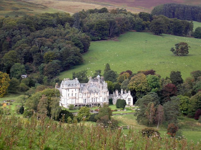
The Glen, Scottish Borders
The Glen, also known as Glen House, is an estate and country house in the parish of Traquair, southern Scotland. It is located in the glen of the Quair...

Traquair
Traquair (Scottish Gaelic: Cille Bhrìghde) is a small village and civil parish in the Scottish Borders; until 1975 it was in the county of Peeblesshire...

Sir Walter Scott Way
The Sir Walter Scott Way is a 92-mile (148 km) long-distance footpath in the Scottish Borders. The route broadly follows the waymarked Southern Upland...
Quair Water
The Quair Water is a tributary of the River Tweed in the Scottish Borders area of Scotland. Its name is related to Traquair. == Etymology == The name Quair...
Have you been to Blake Muir?
Leave your review of Blake Muir below (or comments, questions and feedback).