Edgelaw Moor
Downs, Moorland in Midlothian
Scotland
Edgelaw Moor
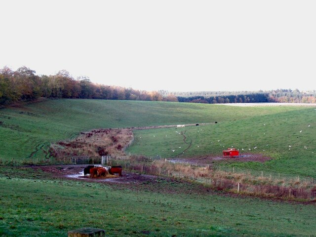
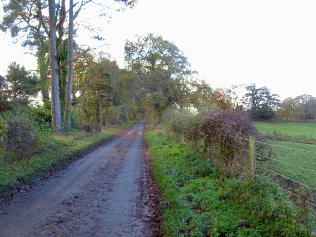
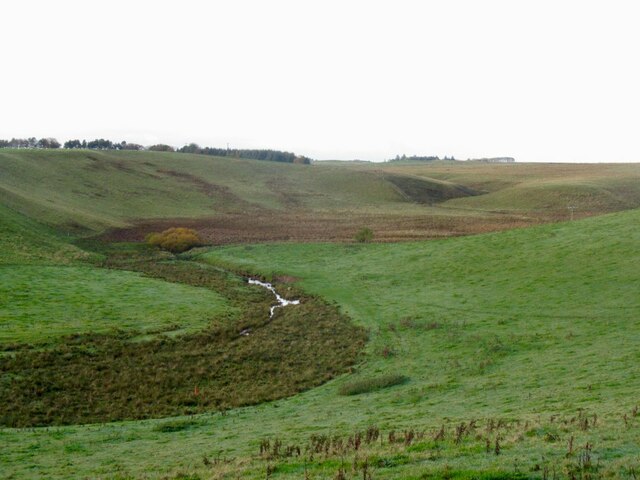
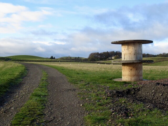
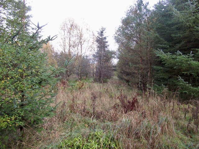
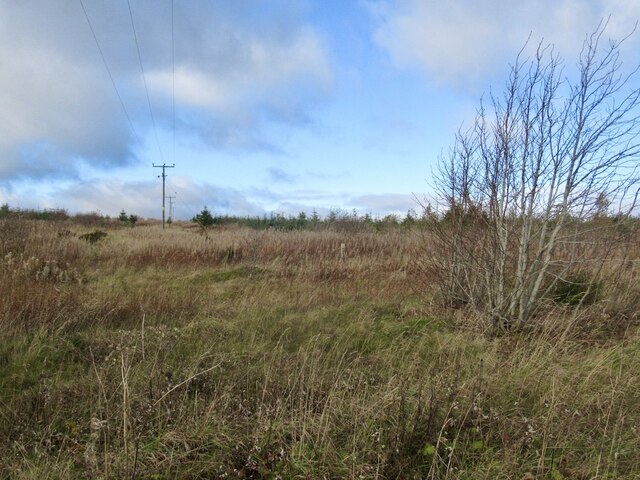
Edgelaw Moor, located in the Midlothian region of Scotland, is a picturesque area known for its stunning natural beauty and diverse wildlife. Spanning across vast expanses of downs and moorland, Edgelaw Moor offers visitors a unique opportunity to immerse themselves in the tranquility of the Scottish countryside.
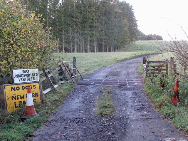
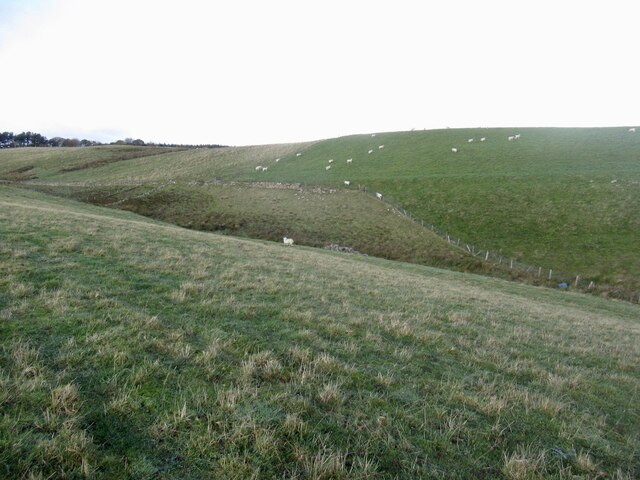
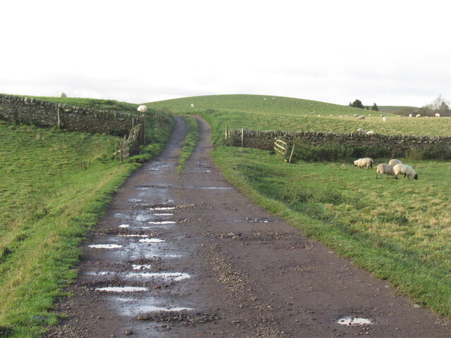
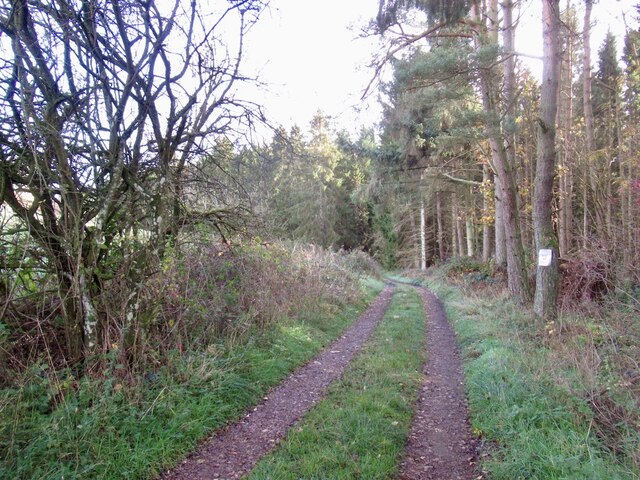
The moorland is characterized by its rolling hills, heather-covered landscapes, and scattered pockets of woodland. It provides habitat to a rich variety of flora and fauna, including rare species such as the red grouse, curlew, and skylark. Walking trails and paths crisscross the area, allowing nature enthusiasts to explore the moor and appreciate its rich biodiversity up close.
Edgelaw Moor boasts breathtaking views of the surrounding countryside, with vistas that stretch for miles. On clear days, visitors can catch glimpses of the majestic Pentland Hills in the distance, adding to the area's allure.
The downs of Edgelaw Moor are equally captivating, featuring gently sloping grasslands that are perfect for leisurely strolls or picnics. The open expanse provides a sense of serenity and solitude, allowing visitors to escape the noise and bustle of everyday life.
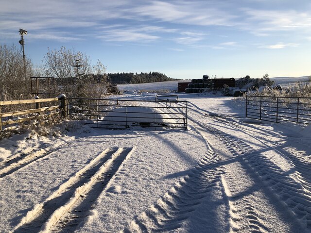
The moorland and downs of Edgelaw Moor are also of historical significance, with ancient remains and settlements scattered throughout the area. These remnants offer a glimpse into the lives of the people who once inhabited the region, adding an extra layer of intrigue to the landscape.
Overall, Edgelaw Moor in Midlothian is a haven for nature lovers and history enthusiasts alike. Its stunning vistas, diverse wildlife, and rich heritage make it a must-visit destination for anyone seeking a peaceful retreat in the heart of Scotland.
If you have any feedback on the listing, please let us know in the comments section below.
Edgelaw Moor Images
Images are sourced within 2km of 55.821331/-3.1384845 or Grid Reference NT2859. Thanks to Geograph Open Source API. All images are credited.


Edgelaw Moor is located at Grid Ref: NT2859 (Lat: 55.821331, Lng: -3.1384845)
Unitary Authority: Midlothian
Police Authority: The Lothians and Scottish Borders
What 3 Words
///intersect.diamond.impaired. Near Rosewell, Midlothian
Nearby Locations
Related Wikis

Edgelaw Reservoir
Edgelaw Reservoir is an artificial reservoir in Midlothian, Scotland, UK, four miles west of Temple. It was created in 1880 by James Leslie and his son...

Midlothian (UK Parliament constituency)
Midlothian in Scotland is a county constituency of the House of Commons of the Parliament of the United Kingdom. It elects one Member of Parliament (MP...

Rosslynlee Hospital
Rosslynlee Hospital was a mental health facility near Roslin, Midlothian in Scotland. The main hospital building is a Grade C listed building. Rosslynlee...
Rosslynlee Hospital Halt railway station
Rosslynlee Hospital Halt railway station that served Rosslynlee Hospital, Midlothian, Scotland from 1958 to 1962 on the Peebles Railway. == History... ==
Have you been to Edgelaw Moor?
Leave your review of Edgelaw Moor below (or comments, questions and feedback).