Arrowe Park
Downs, Moorland in Cheshire
England
Arrowe Park
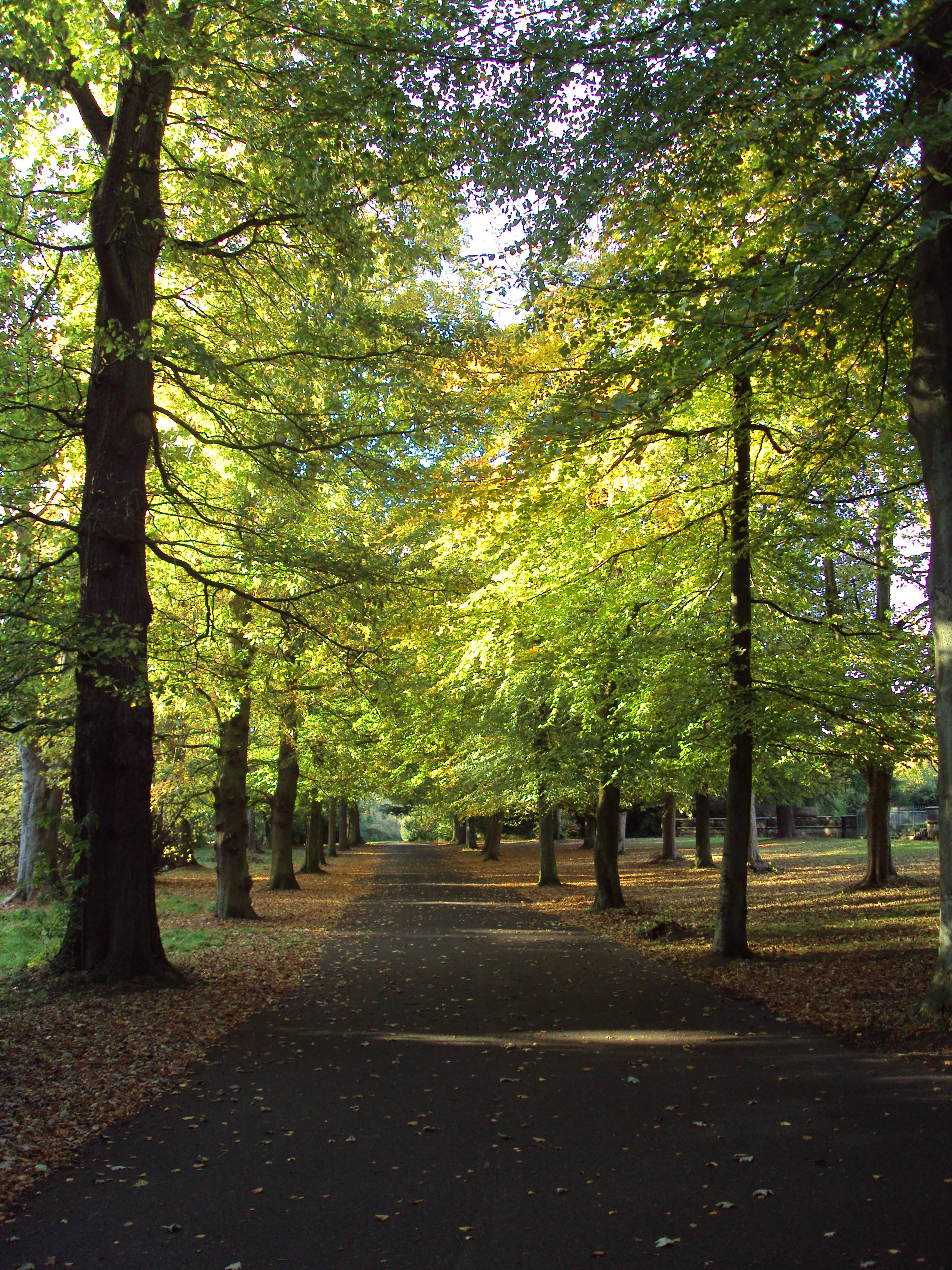
Arrowe Park is a picturesque park located in the county of Cheshire, England. It is situated on the Wirral Peninsula, just to the west of the town of Birkenhead. Spanning over 425 acres, the park offers a diverse landscape of downs and moorland, making it a popular destination for outdoor enthusiasts and nature lovers.
The park's downs feature rolling hills covered in lush grass, providing a tranquil and scenic environment for visitors to explore. From the top of the downs, visitors can enjoy breathtaking panoramic views of the surrounding countryside, including the stunning Welsh hills in the distance. The moorland, on the other hand, offers a unique habitat for a variety of plant and animal species, including heather, gorse, and various species of birds.
Arrowe Park is not only known for its natural beauty but also for its recreational facilities. The park boasts numerous walking and cycling paths, allowing visitors to fully immerse themselves in the stunning surroundings. There are also several sports fields, including cricket pitches and football fields, where local teams often gather for matches and practice sessions. The park even features an 18-hole golf course, providing a challenging and enjoyable experience for golf enthusiasts.
In addition to its natural and recreational offerings, Arrowe Park is home to several amenities. These include a visitor center, where visitors can learn more about the park's history and wildlife, as well as a café and picnic areas for those looking to relax and enjoy a meal amidst the park's serene ambiance.
Overall, Arrowe Park in Cheshire is a haven for nature enthusiasts, offering a diverse landscape of downs and moorland, breathtaking views, recreational facilities, and amenities for all to enjoy.
If you have any feedback on the listing, please let us know in the comments section below.
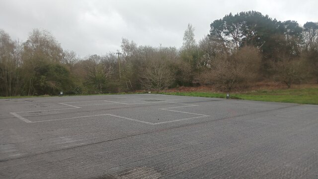
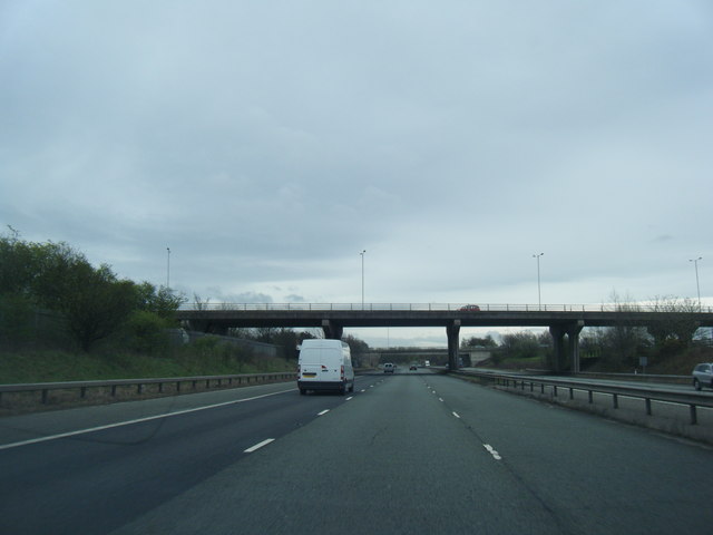
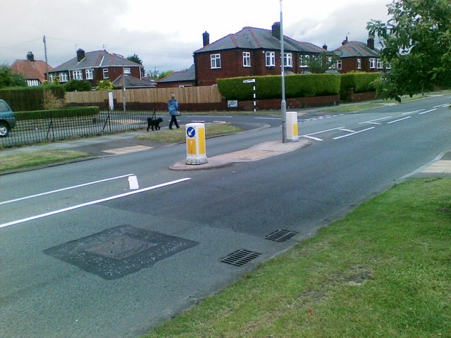
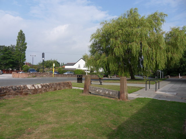
Arrowe Park Images
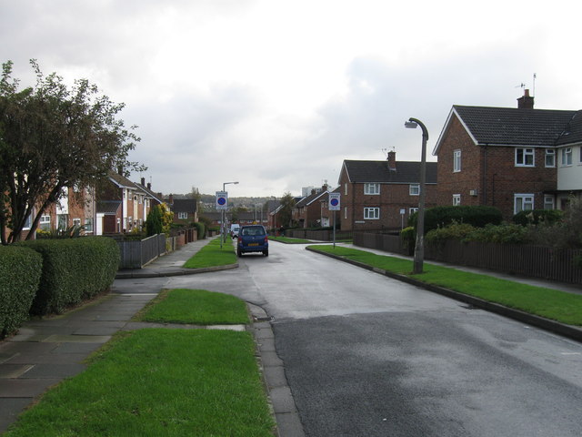
Images are sourced within 2km of 53.360665/-3.095473 or Grid Reference SJ2785. Thanks to Geograph Open Source API. All images are credited.


Arrowe Park is located at Grid Ref: SJ2785 (Lat: 53.360665, Lng: -3.095473)
Unitary Authority: Wirral
Police Authority: Merseyside
What 3 Words
///worry.bland.safe. Near Greasby, Merseyside
Nearby Locations
Related Wikis
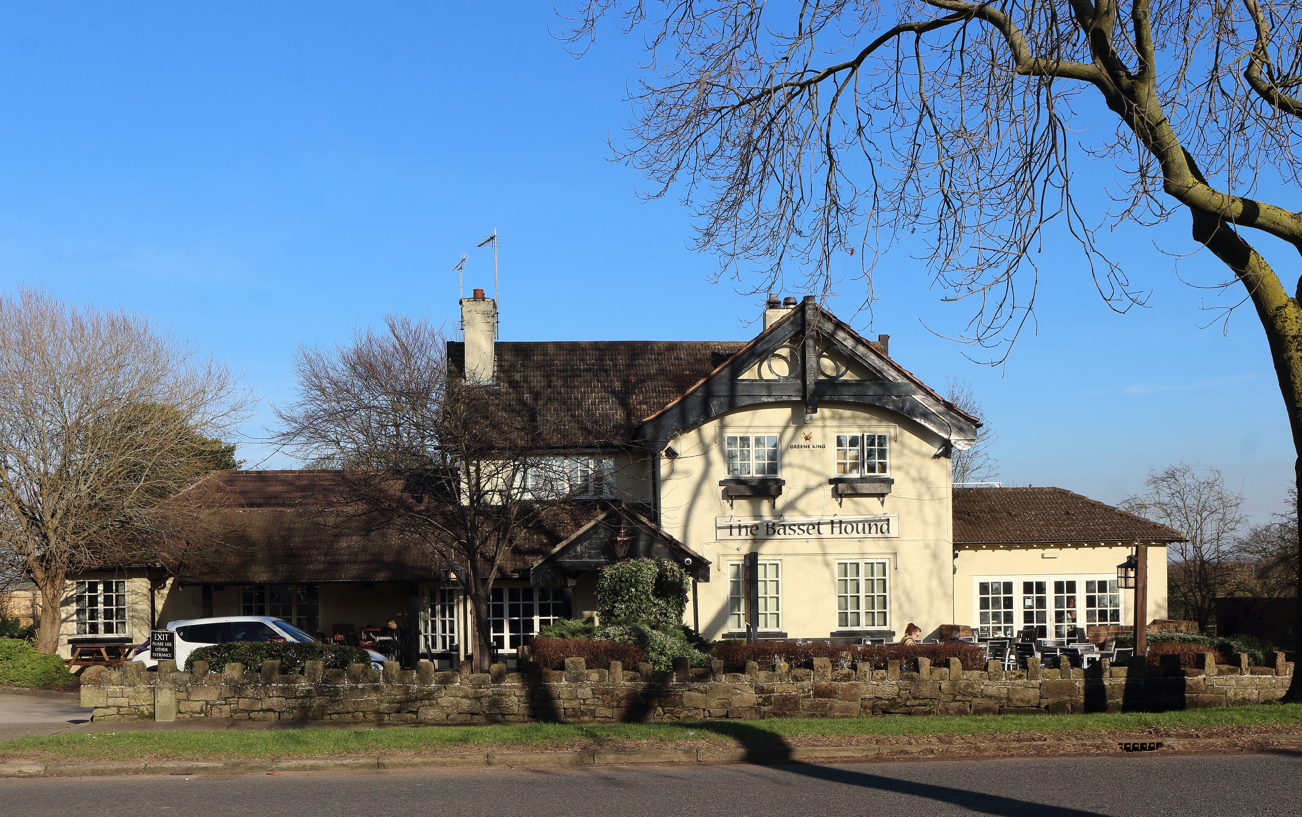
Arrowe Country Park
Arrowe Country Park is a country park in Woodchurch, Wirral, England. The estate upon which the park lies was founded and shaped by John Shaw, a former...
Thingwall
Thingwall is a village on the Wirral Peninsula, in Merseyside, England. The village is situated approximately 8 km (5.0 mi) to the south west of Birkenhead...
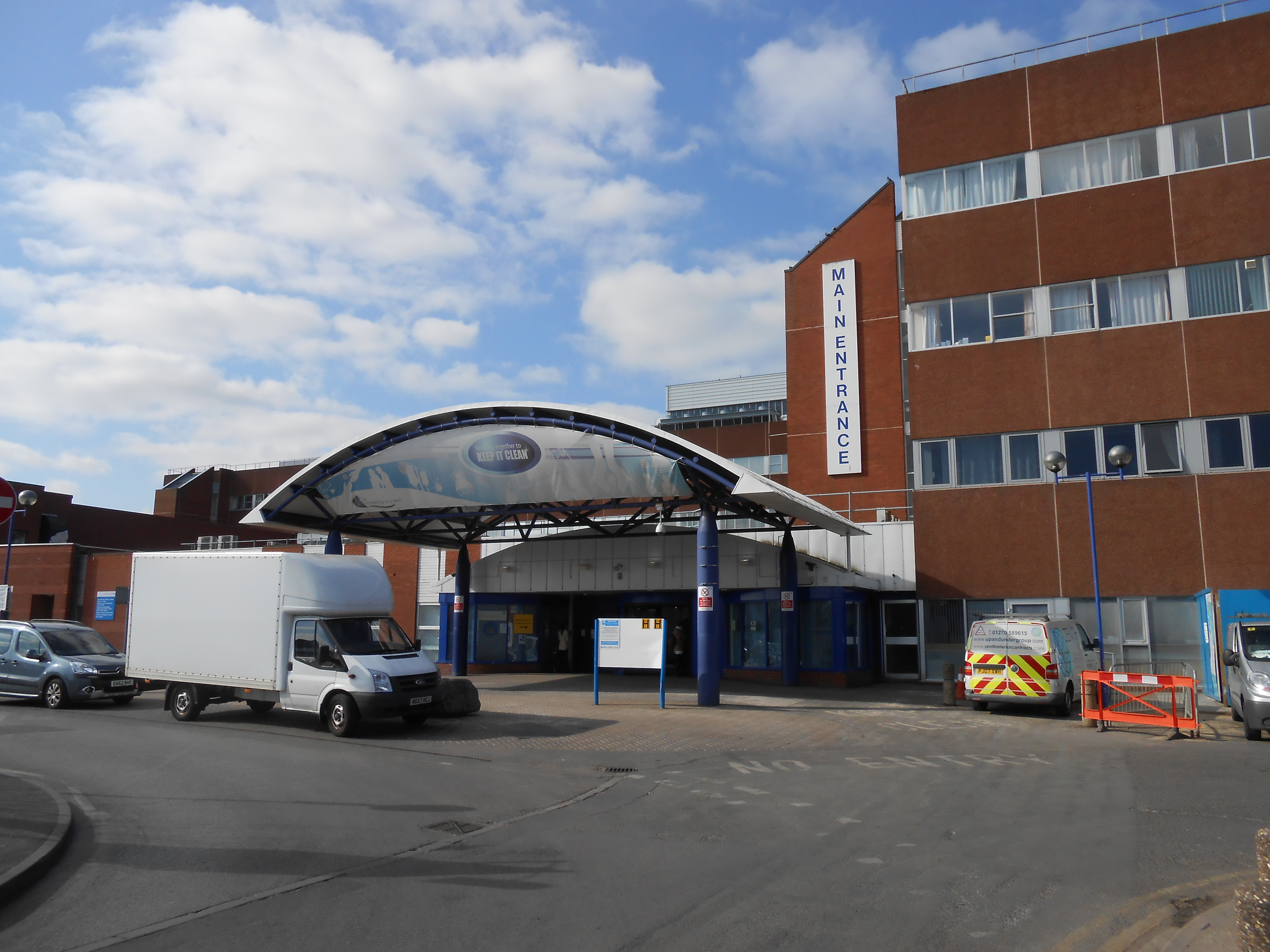
Arrowe Park Hospital
Arrowe Park Hospital is a large, acute hospital, located on a 15-acre (6.1 ha) section of Arrowe Park, close to the village of Upton, Wirral, Merseyside...
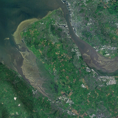
Wirral Peninsula
The Wirral Peninsula (), known locally as The Wirral, is a peninsula in North West England. The roughly rectangular peninsula is about 15 miles (24 km...
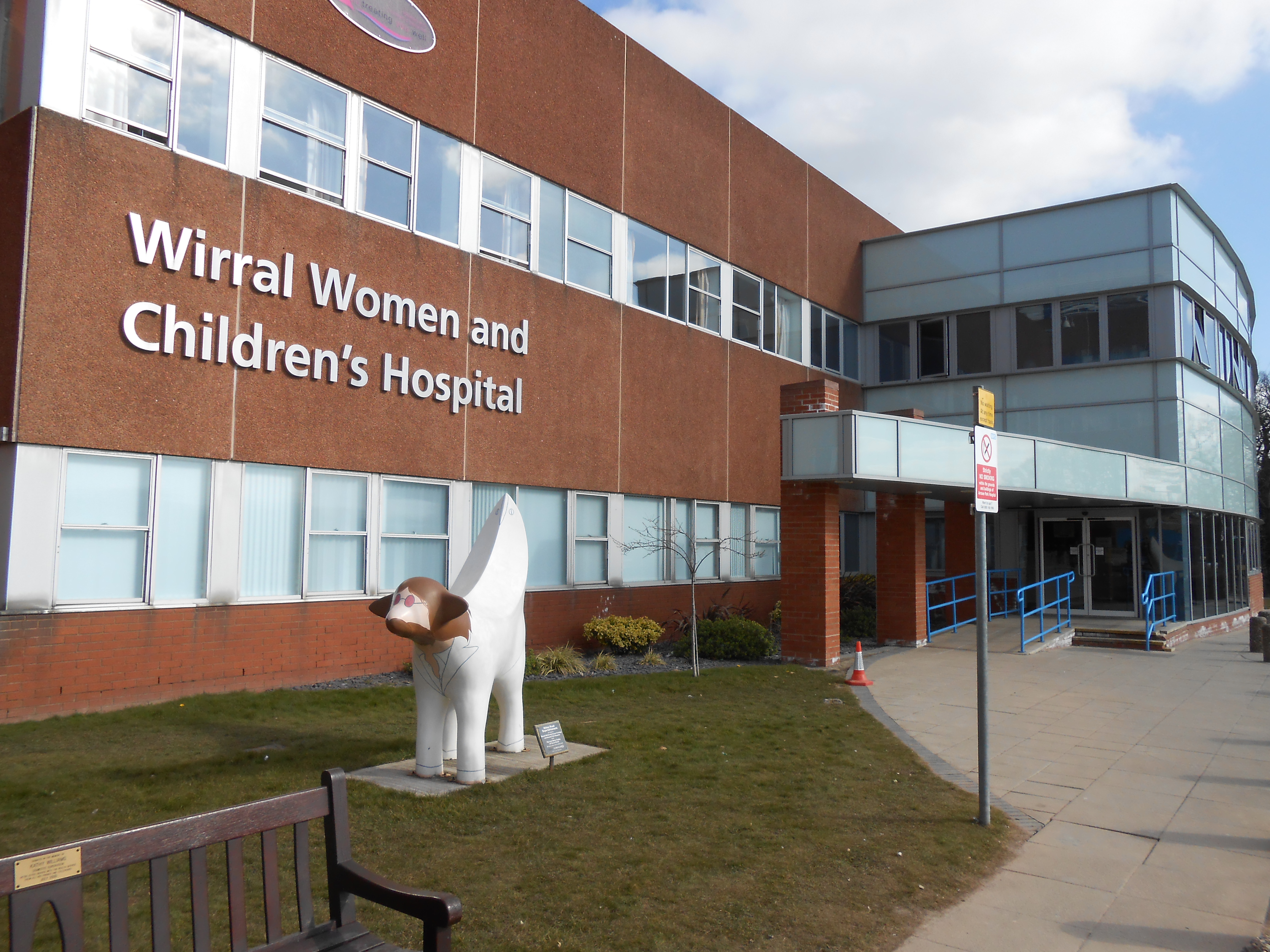
Wirral Women and Children's Hospital
Wirral Women and Children's Hospital is located on the Arrowe Park Hospital campus, in Upton, Wirral, Merseyside and was founded following a redevelopment...
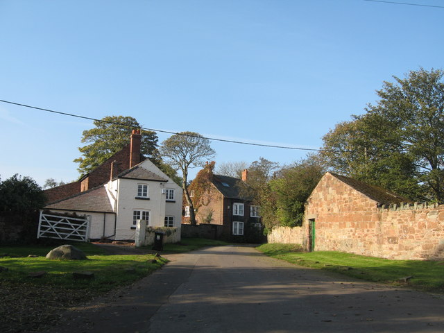
Landican
Landican () is a hamlet and former civil parish on the outskirts of Birkenhead, in the Metropolitan Borough of Wirral, Merseyside, England. The hamlet...
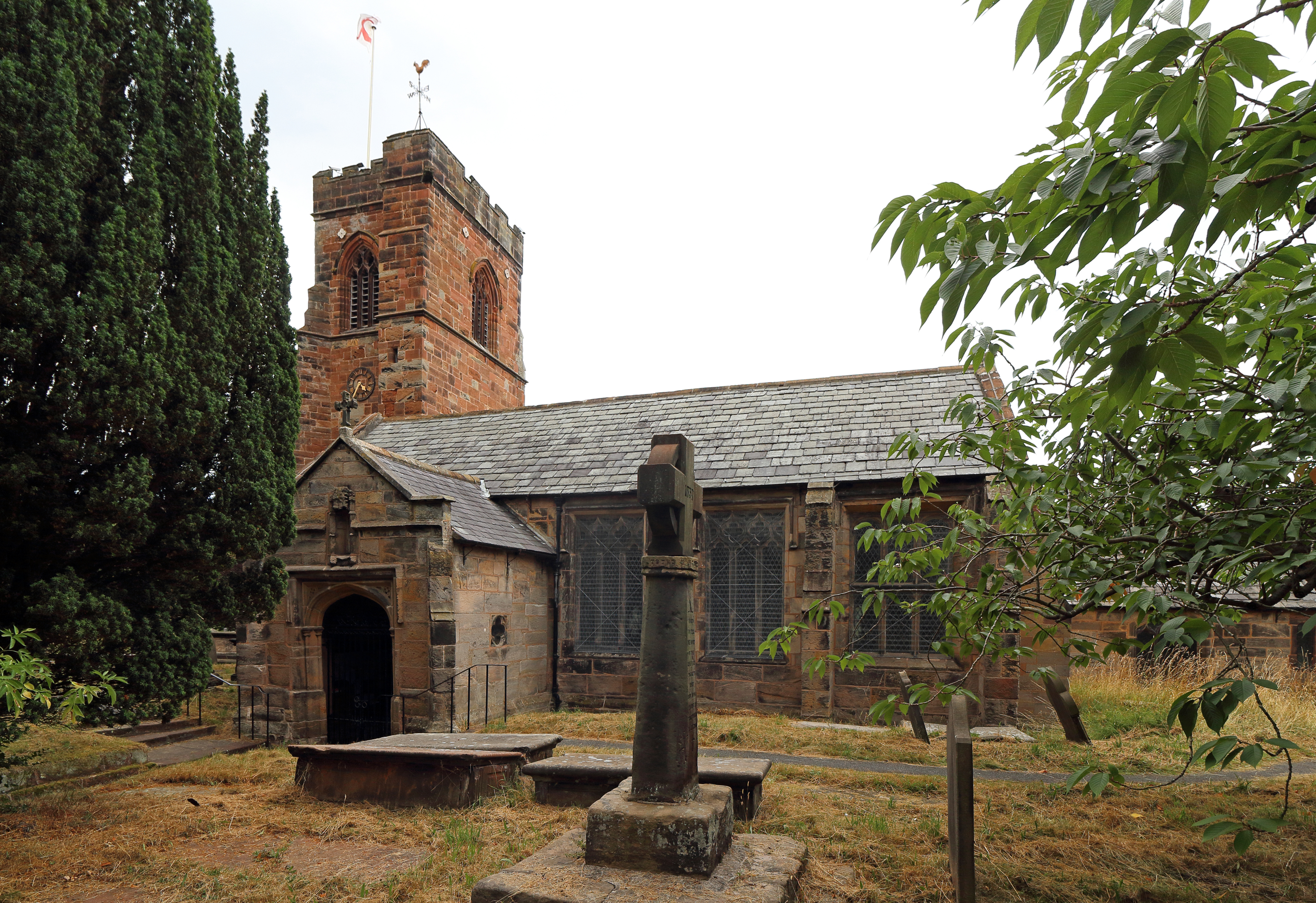
Holy Cross Church, Woodchurch
Holy Cross Church is in Woodchurch, an area of Birkenhead, Wirral, Merseyside, England. It is an active Anglican parish church in the diocese of Chester...

Irby, Merseyside
Irby (locally ) is a village on the Wirral Peninsula, in Merseyside, England. The village covers an area of 20 square kilometres. To the north of Irby...
Nearby Amenities
Located within 500m of 53.360665,-3.095473Have you been to Arrowe Park?
Leave your review of Arrowe Park below (or comments, questions and feedback).