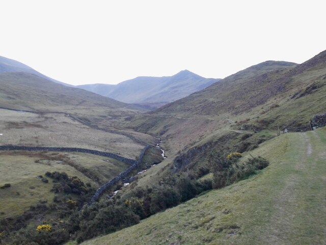
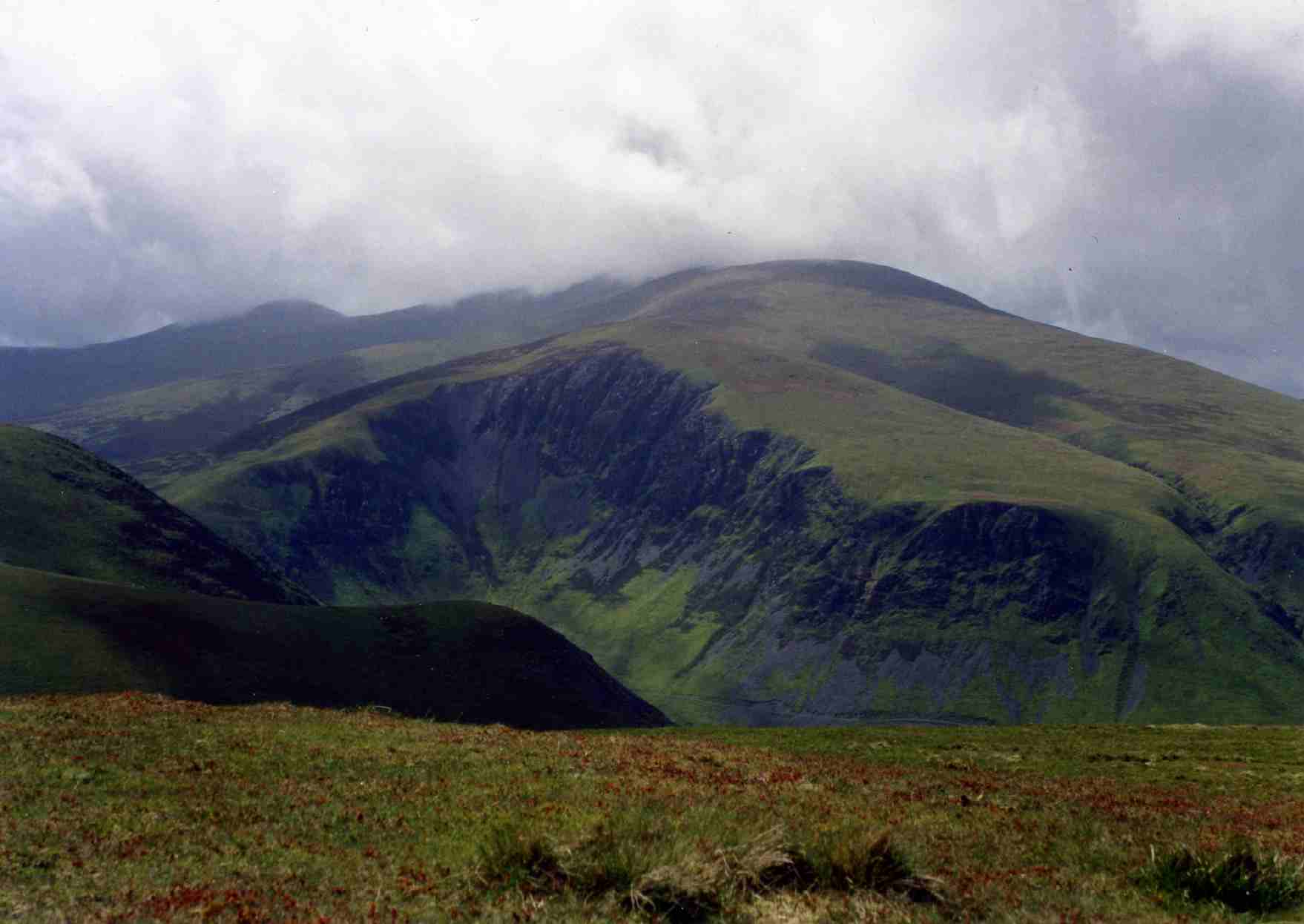
Bassenthwaite Common
Downs, Moorland in Cumberland Allerdale
England
Bassenthwaite Common

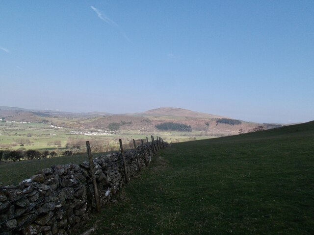
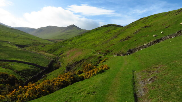
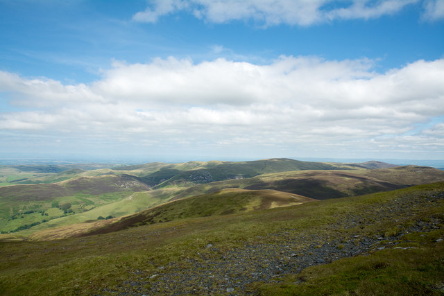
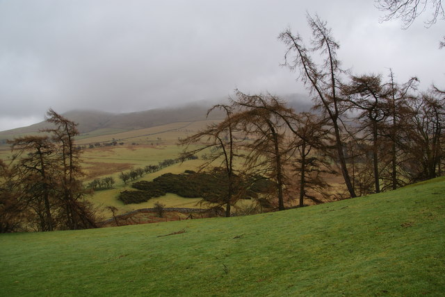
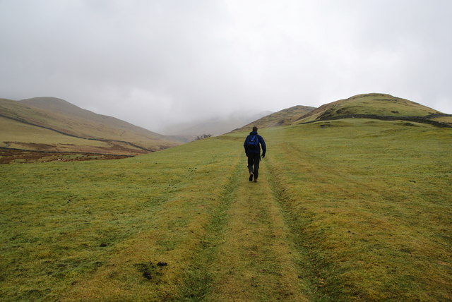
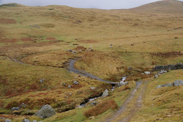
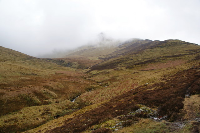
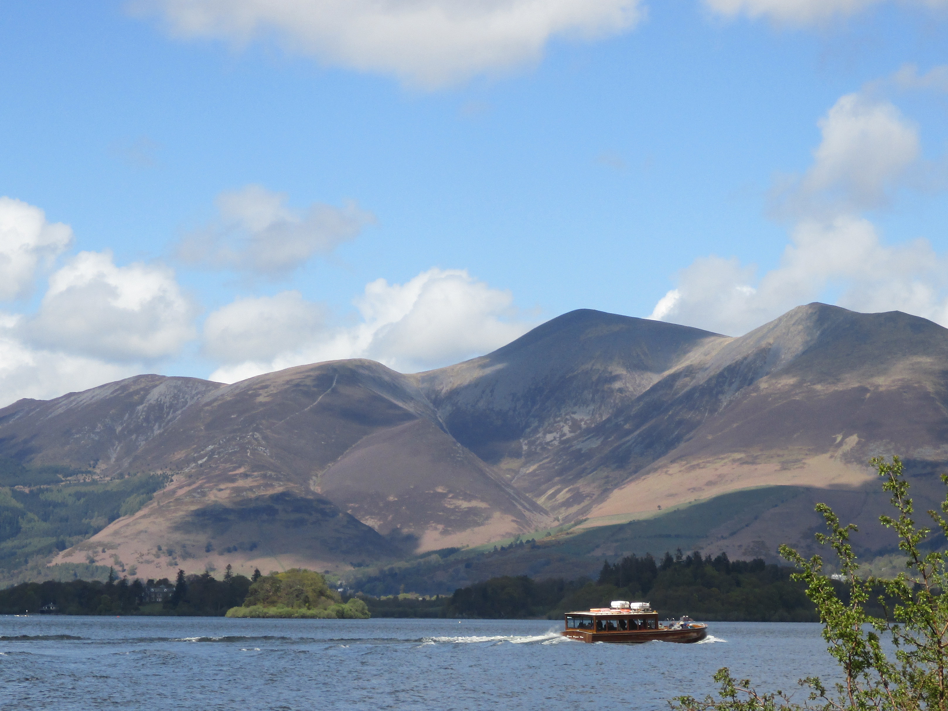
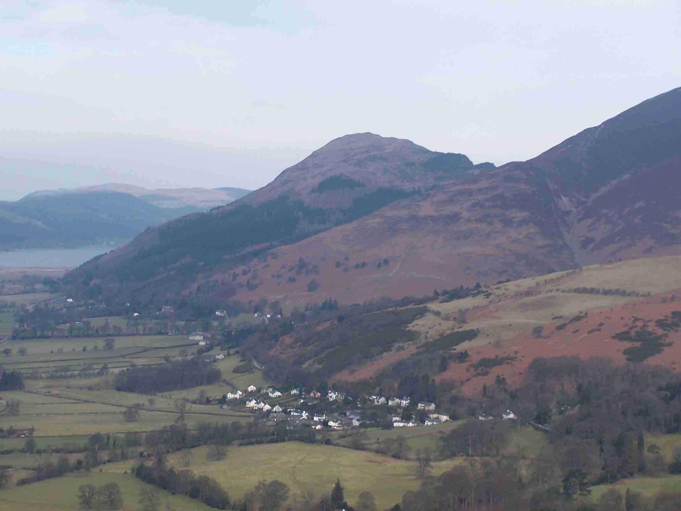
Bassenthwaite Common is a picturesque expanse of land located in the county of Cumberland, England. Spread across the vast area, the common encompasses diverse landscapes, including downs, moorland, and marshes. It is situated near the stunning Bassenthwaite Lake, which adds to the natural beauty of the surroundings.
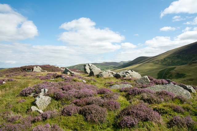
The common is known for its rich biodiversity and serves as an important habitat for numerous plant and animal species. The rolling downs are covered with a carpet of vibrant wildflowers during the summer months, offering a delightful sight for visitors. The moorland, with its heather-clad hills, provides a striking contrast to the lush greenery of the downs.
The common is also home to a variety of wildlife. Visitors may spot red squirrels, badgers, and rabbits, along with a range of bird species such as skylarks and buzzards. The marshes and wetlands attract water-loving creatures like ducks, geese, and herons.
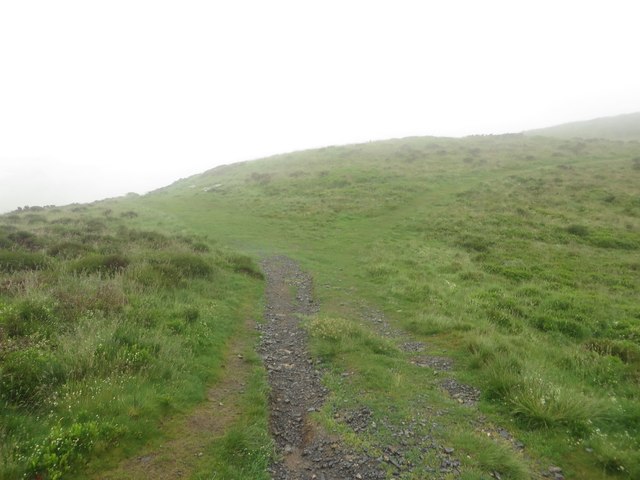
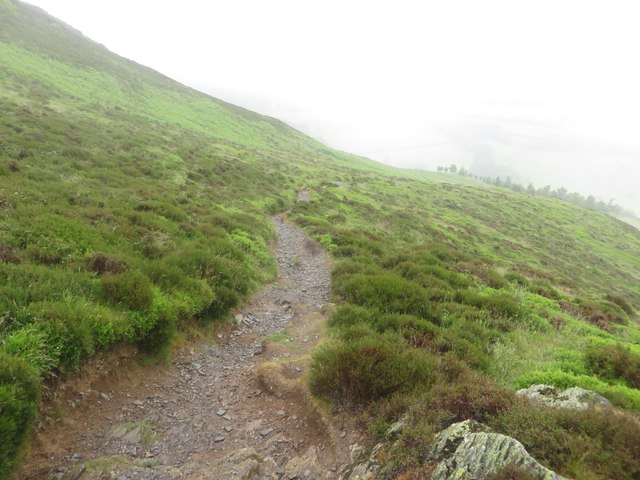
The area is popular among nature enthusiasts, hikers, and birdwatchers, who can explore the numerous walking trails and enjoy the breathtaking views of the surrounding mountains. The common is also a designated Site of Special Scientific Interest (SSSI) due to its ecological importance.
Access to the common is facilitated by well-maintained footpaths and a network of roads. There are picnic areas and benches scattered across the common, allowing visitors to relax and soak in the tranquil atmosphere. Bassenthwaite Common offers a serene escape into nature, where one can appreciate the stunning landscapes and diverse wildlife of the Cumberland region.
If you have any feedback on the listing, please let us know in the comments section below.
Bassenthwaite Common Images
Images are sourced within 2km of 54.656766/-3.1580593 or Grid Reference NY2529. Thanks to Geograph Open Source API. All images are credited.


Bassenthwaite Common is located at Grid Ref: NY2529 (Lat: 54.656766, Lng: -3.1580593)
Administrative County: Cumbria
District: Allerdale
Police Authority: Cumbria
What 3 Words
///unpacked.hissing.mailboxes. Near Keswick, Cumbria
Nearby Locations
Related Wikis
Skiddaw
Skiddaw is a mountain in the Lake District National Park in England. Its 931-metre (3,054 ft) summit is the sixth-highest in England. It lies just north...

Ullock Pike
Ullock Pike is a fell situated in northern part of the English Lake District. It is located seven kilometres north west of Keswick and achieves a height...

Long Side
Long Side is a fell in the English Lake District, it is situated six kilometres north west of Keswick in the northern sector of the national park and is...
Bakestall
Bakestall is a fell in the English Lake District, it is situated seven kilometres (4+1⁄4 miles) north of Keswick in the quieter, even secluded northern...

Carl Side
Carl Side is a fell in the English Lake District, forming a part of the Skiddaw "family" near the town of Keswick and prominently visible from its streets...

Skiddaw Little Man
Skiddaw Little Man also called Little Man is a fell in the English Lake District, it is situated four kilometres north of the town of Keswick and reaches...
Dodd (Lake District)
Dodd is a small fell in the Lake District, Cumbria, England, four kilometres north-west of Keswick. It forms part of the Skiddaw range in the northern...

Mirehouse
Mirehouse is a 17th-century house to the north of Keswick in Cumbria, at the foot of Dodd, near Bassenthwaite Lake and St Bega's Church, on the A591 road...
Nearby Amenities
Located within 500m of 54.656766,-3.1580593Have you been to Bassenthwaite Common?
Leave your review of Bassenthwaite Common below (or comments, questions and feedback).