Bradley Green

Downs, Moorland in Somerset Sedgemoor

England

Bradley Green

Water hazard at the back of the golf course Drive through the green and you find a pond. It is protected by chain-link fencing and a handy lifebuoy. Oddly, the pond appears to be a modern creation beside the footpath.
Water hazard at the back of the golf course Credit: Neil Owen

Bradley Green, Somerset is a picturesque village located in the county of Somerset, England. Situated in a rural setting, it offers residents and visitors a tranquil escape from the hustle and bustle of city life, surrounded by breathtaking natural beauty. The village is divided into three distinct areas known as Downs, Moorland, and the main village center.

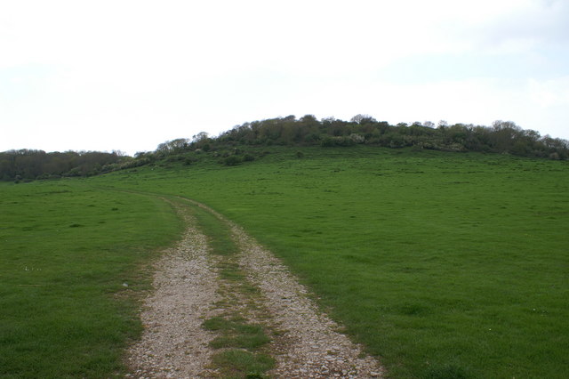
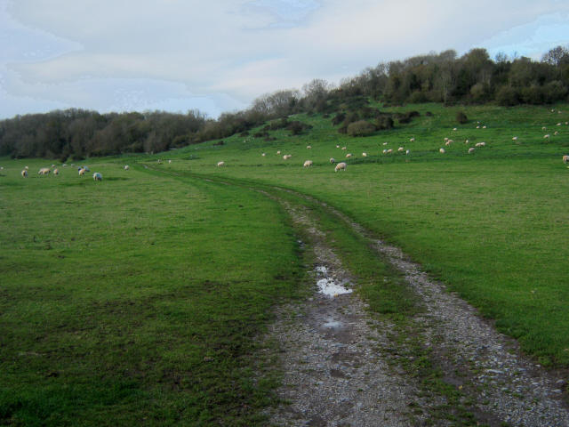
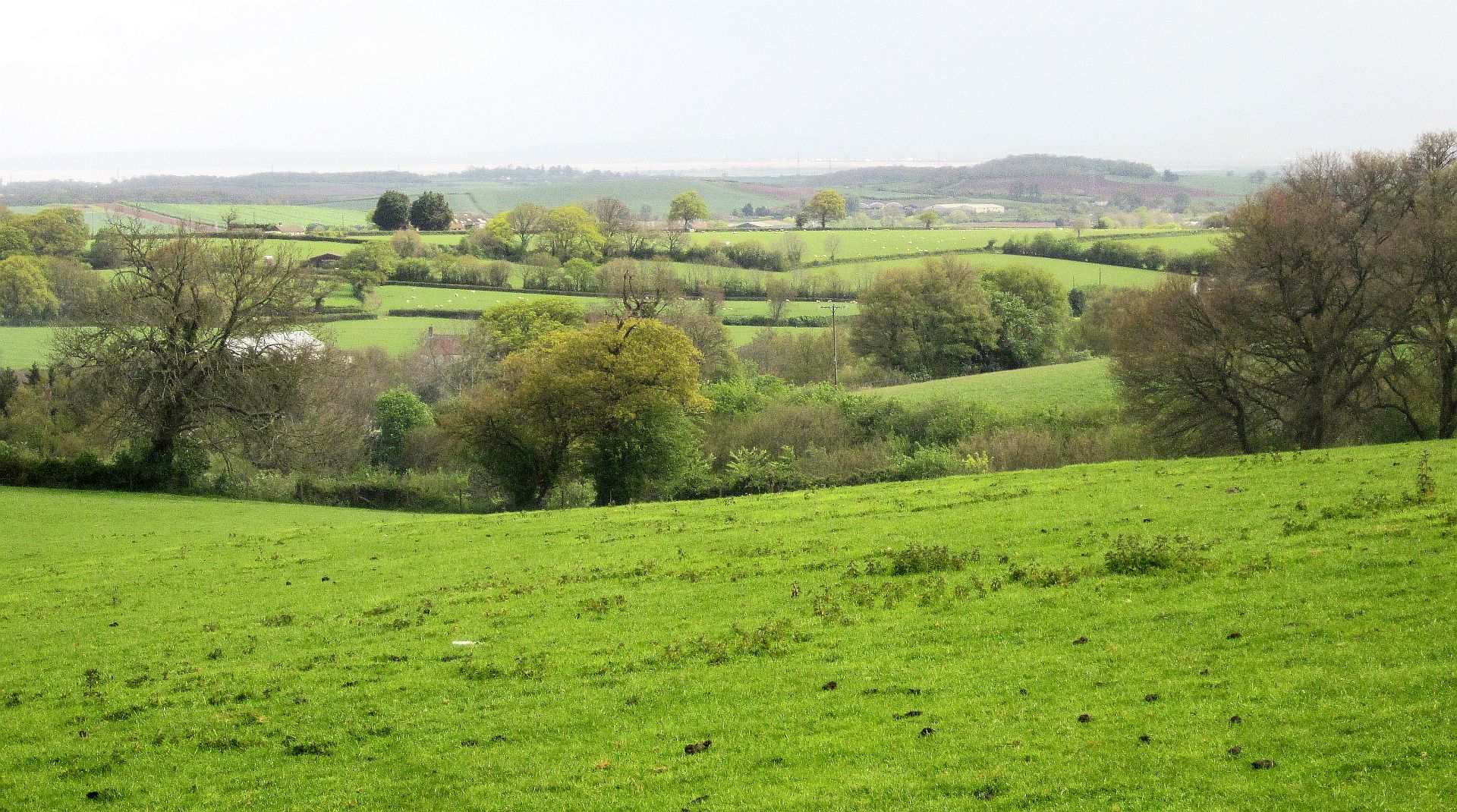
The Downs area is characterized by its rolling hills and meadows, providing a perfect spot for outdoor activities such as hiking, cycling, and picnicking. It offers stunning panoramic views of the surrounding countryside and is a popular destination for nature enthusiasts.

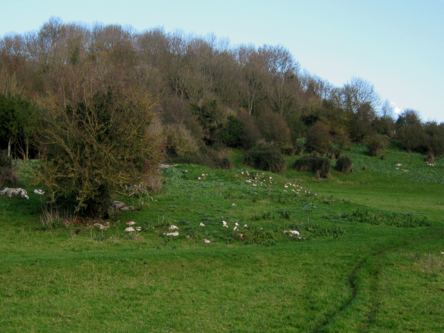
Moorland, on the other hand, is known for its vast expanses of heather-covered moorland, providing a unique habitat for various wildlife species. It is a designated Area of Outstanding Natural Beauty and is a haven for birdwatchers and nature photographers.

The main village center is a charming hub, with a range of amenities including a village shop, a local pub, and a community center. The village is proud of its strong sense of community and hosts regular events and gatherings, fostering a friendly and welcoming atmosphere.

Bradley Green is conveniently located within proximity to larger towns and cities such as Taunton and Bridgwater, offering residents easy access to a wider range of services and amenities. The village is also well-connected to major road networks, making it accessible for commuters.

Overall, Bradley Green, Somerset is a delightful village that combines stunning natural landscapes, a strong community spirit, and convenient access to nearby towns, making it an appealing place to live or visit.

If you have any feedback on the listing, please let us know in the comments section below.

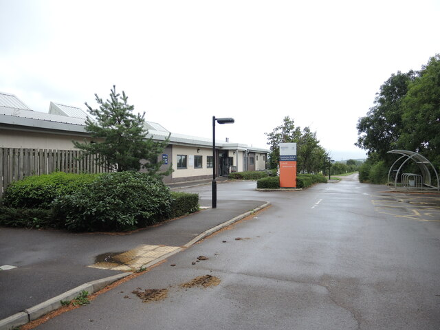
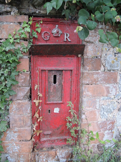
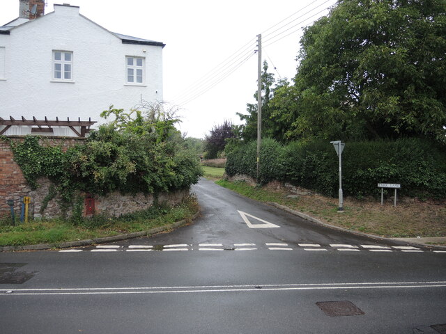
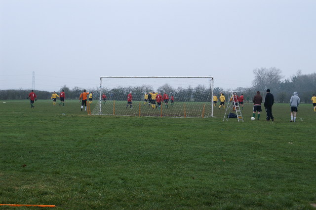
Bradley Green Images

Images are sourced within 2km of 51.141369/-3.0681293 or Grid Reference ST2538. Thanks to Geograph Open Source API. All images are credited.

Water hazard at the back of the golf course Drive through the green and you find a pond. It is protected by chain-link fencing and a handy lifebuoy. Oddly, the pond appears to be a modern creation beside the footpath.
Water hazard at the back of the golf course
Drive through the green and you find a pond. It is protected by chain-link fencing and a handy lifebuoy. Oddly, the pond appears to be a modern creation beside the footpath.
The second tee and St Mary's The golf course occupies a slightly higher ground than the village; beyond the mist and drizzle swirls around the Quantock Hills. Best keep a brolly in the bag.
The second tee and St Mary's
The golf course occupies a slightly higher ground than the village; beyond the mist and drizzle swirls around the Quantock Hills. Best keep a brolly in the bag.
The Downs, Cannington Cannington has a long history of education for the agricultural sciences. Various organisations and buildings occupy the land to the north and form part of Cannington College. It opened its classes in 1921 and merged with Bridgwater and Taunton College in 2004 to offer land-based courses.
The Downs, Cannington
Cannington has a long history of education for the agricultural sciences. Various organisations and buildings occupy the land to the north and form part of Cannington College. It opened its classes in 1921 and merged with Bridgwater and Taunton College in 2004 to offer land-based courses.
Giving up on George A Georgian letterbox is blocked off and bereft of identification. It lies in the wall of the former Belvedere House on Rodway, seemingly to rot. See <a href="https://www.geograph.org.uk/photo/7065222">ST2540 : Junction of Rodway and Park Lane</a> for a view of the junction.
Giving up on George
A Georgian letterbox is blocked off and bereft of identification. It lies in the wall of the former Belvedere House on Rodway, seemingly to rot. See ST2540 : Junction of Rodway and Park Lane for a view of the junction.
Junction of Rodway and Park Lane On the wall opposite is a poor old letterbox that has been taken out of service. See <a href="https://www.geograph.org.uk/photo/7065215">ST2540 : Giving up on George</a>.
Junction of Rodway and Park Lane
On the wall opposite is a poor old letterbox that has been taken out of service. See ST2540 : Giving up on George.
Cannington Football Ground
Cannington Park There is fort/camp on this hill with a footpath running up to it.
Cannington Park
There is fort/camp on this hill with a footpath running up to it.
Golf Course at Cannington Looking east towards the estuary of the River Parrett
Golf Course at Cannington
Looking east towards the estuary of the River Parrett
Derelict barn, Cannington
Horn Hill, Cannington
Jubilee Gardens, Cannington A thin sliver of land by the Cannington Brook is a more formal garden area, lined with lots of seasonal colour. The telephone box now houses a defibrillator.
Jubilee Gardens, Cannington
A thin sliver of land by the Cannington Brook is a more formal garden area, lined with lots of seasonal colour. The telephone box now houses a defibrillator.
The Cannington Brook in Jubilee Gardens Having added a new road bridge over the brook, the area enclosed by it was given over to a public garden.
The Cannington Brook in Jubilee Gardens
Having added a new road bridge over the brook, the area enclosed by it was given over to a public garden.
Memorial globe In the Jubilee Gardens is a modest yet intriguing monument. It is a memorial to a local man who served the community in many roles for many years. Unveiled in 2013; see <a href="https://www.geograph.org.uk/photo/7065085">ST2539 : The Maurice Locke memorial</a> for a contextual view under the trees.
Memorial globe
In the Jubilee Gardens is a modest yet intriguing monument. It is a memorial to a local man who served the community in many roles for many years. Unveiled in 2013; see ST2539 : The Maurice Locke memorial for a contextual view under the trees.
The Maurice Locke memorial A globe on a set of rods mark the tribute to a late village man. He served as councillor, warden, activist and businessman for many years - all in the support of the village. See <a href="https://www.geograph.org.uk/photo/7065081">ST2539 : Memorial globe</a> for a closer look.
The Maurice Locke memorial
A globe on a set of rods mark the tribute to a late village man. He served as councillor, warden, activist and businessman for many years - all in the support of the village. See ST2539 : Memorial globe for a closer look.
Weir on Cannington Brook The waters around the village are many and convoluted, needing a weir to the east.
Weir on Cannington Brook
The waters around the village are many and convoluted, needing a weir to the east.
Footbridge near Otters Brook The bridge spans the Cannington Brook - Otters Brook is the name given to a modern housing development.
Footbridge near Otters Brook
The bridge spans the Cannington Brook - Otters Brook is the name given to a modern housing development.
Seeping down from the higher level The waters near Gurney Manor are complicated, with two levels opposite the ancient manor house. Here the higher bank appears to be allowing some seepage across the ground to the lower.
Seeping down from the higher level
The waters near Gurney Manor are complicated, with two levels opposite the ancient manor house. Here the higher bank appears to be allowing some seepage across the ground to the lower.
Show me another place!

Bradley Green is located at Grid Ref: ST2538 (Lat: 51.141369, Lng: -3.0681293)

Administrative County: Somerset

District: Sedgemoor

Police Authority: Avon and Somerset

What 3 Words

///hopping.stale.recliner. Near Bridgwater, Somerset

Related Wikis

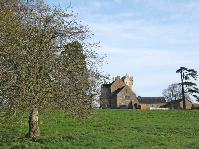
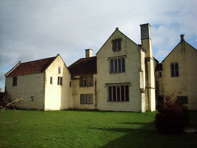
Blackmoor Farmhouse, Cannington

Blackmoor Farmhouse at Cannington, Somerset, England and the attached chapel, was built around 1480 for Thomas Tremayll. It was designated as a Grade I...

Cannington, Somerset

Cannington is a village and civil parish 3 miles (5 km) northwest of Bridgwater in Somerset, England. It lies on the west bank of the River Parret, and...

Gothelney Hall

Gothelney Hall, also known as Gothelney Manor Farmhouse, located in the parish of Spaxton, Somerset, England was built in the 15th century and has been...
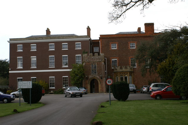
Cannington Priory

Cannington Priory was a Benedictine nunnery established around 1138 and dissolved in 1536 in Cannington, Somerset, England. It was attached to the Church...
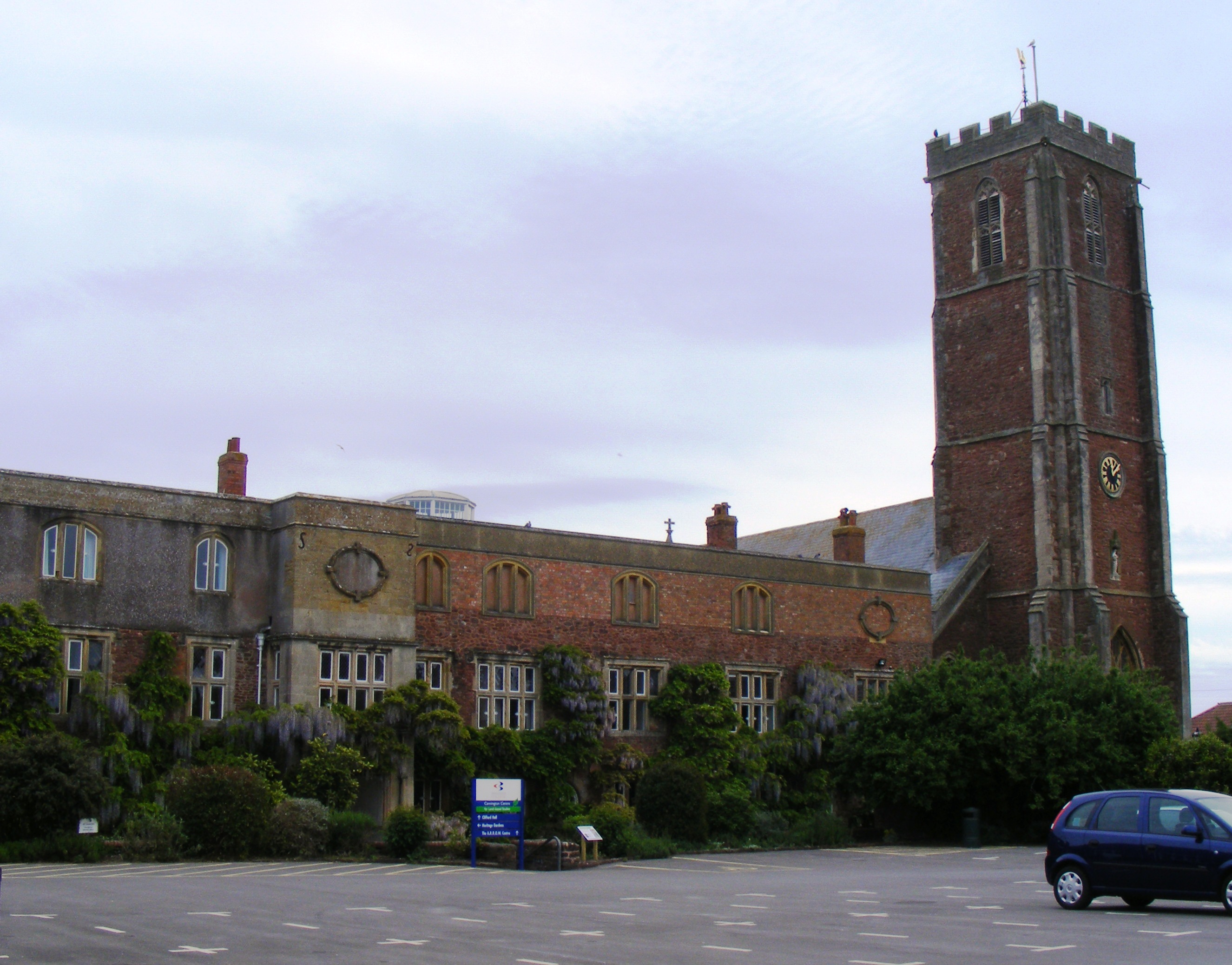
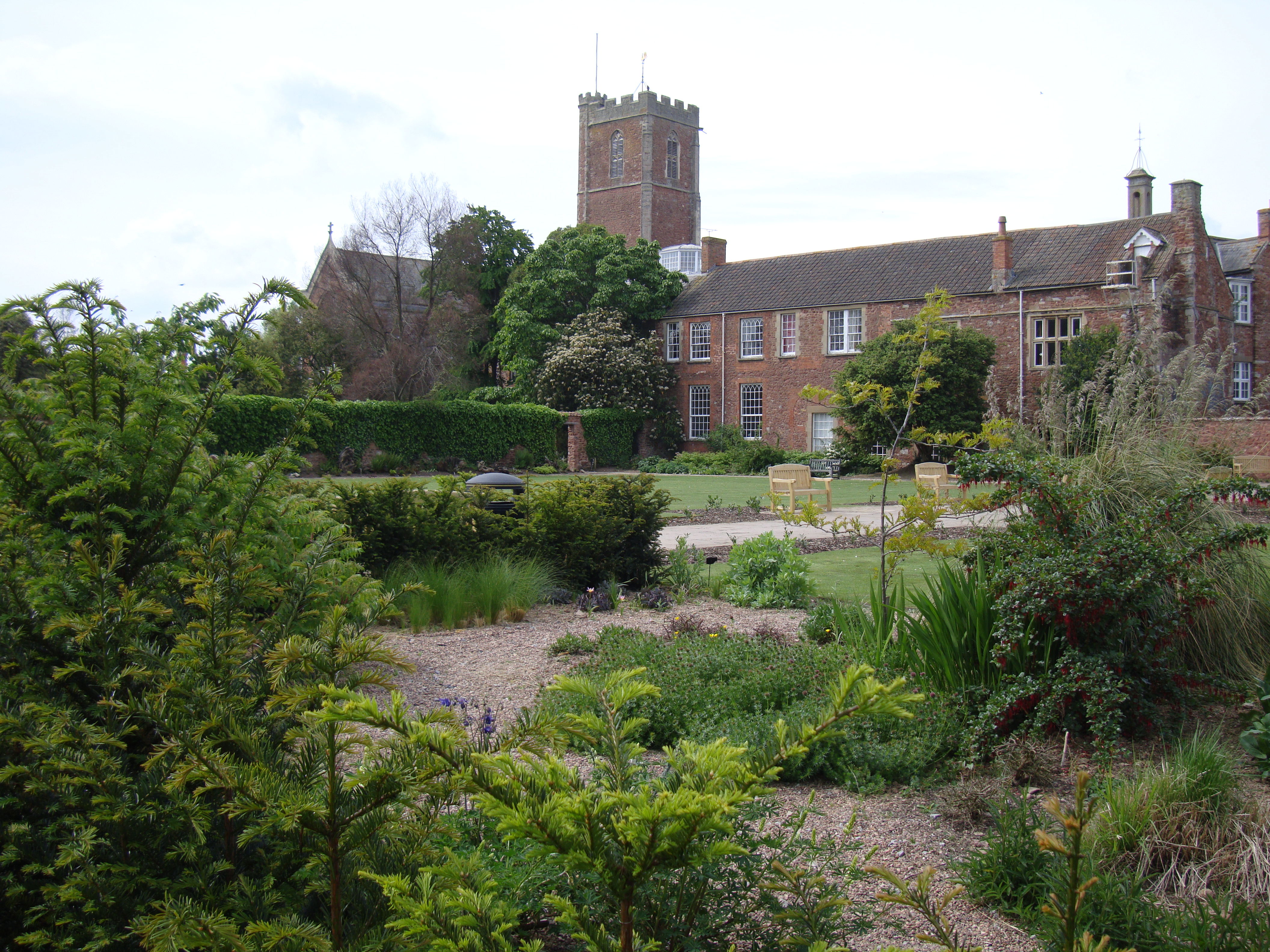
Cannington Court

Cannington Court in the village of Cannington, Somerset, England was built around 1138 as the lay wing of a Benedictine nunnery, founded by Robert de Courcy...

Brymore Academy

Brymore Academy (formerly Brymore School) is a boys' secondary school with academy status, located in Cannington, Bridgwater, Somerset, England. It is...

Gurney Manor

Gurney Manor in Cannington, Somerset, England is a 13th-century manor house with an attached chapel wing. It is now supported by the Landmark Trust and...

Peart Water

Peart Water is a stream about 5 miles (8.0 km) long in Somerset, England. It rises in the Quantock Hills and flows in a generally northeast direction....

Nearby Amenities

Located within 500m of 51.141369,-3.0681293
Kerb: raised
Lat/Long: 51.1449934/-3.0644716
Post Box
Brand: Royal Mail
Brand Wikidata: Q638098
Brand Wikipedia: en:Royal Mail
Operator: Royal Mail
Operator Wikidata: Q638098
Post Box Type: lamp
Ref: TA5 98
Royal Cypher: EIIR
Royal Cypher Wikidata: Q33102113
Lat/Long: 51.1417346/-3.0681387
Foot: no
Ford: yes
Motor Vehicle: private
Lat/Long: 51.1446914/-3.066802
The data included in this document is from www.openstreetmap.org. The data is made available under ODbL.

Have you been to Bradley Green?

Leave your review of Bradley Green below (or comments, questions and feedback).