Graig

Downs, Moorland in Monmouthshire

Wales

Graig

Rainbow above Cwm Llanwenarth Looking northwest from the B4246 Abergavenny Road out of Blaenavon, with the rainbow in front of the slopes of Gilwern Hill, above the valley known as Cwm Llanwenarth. Philbhu ref:P8140280a2
Rainbow above Cwm Llanwenarth Credit: Phil Brandon Hunter

Graig is a small village located in Monmouthshire, Wales. It is nestled amidst the stunning landscape of the Downs and Moorland. With its picturesque surroundings, the village offers its residents and visitors a serene environment to enjoy nature's beauty.

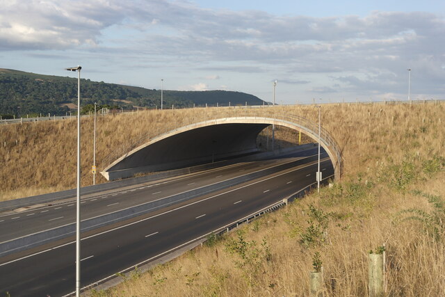
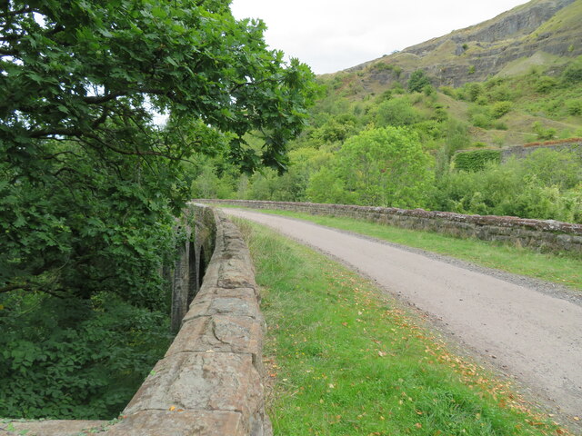
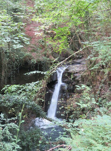
The village is surrounded by rolling hills and vast stretches of open moorland, providing ample opportunities for outdoor activities and exploration. Hiking and walking trails are abundant, allowing nature enthusiasts to immerse themselves in the breathtaking scenery. The Downs and Moorland also serve as a habitat for various wildlife species, making it a popular spot for birdwatching and wildlife spotting.

Graig itself is a close-knit community, with a small population that fosters a friendly and welcoming atmosphere. The village has a few local amenities, including a village hall and a small convenience store, catering to the basic needs of its residents. Additionally, there are a few charming cottages and houses that dot the landscape, adding to the village's idyllic charm.

Despite its rural setting, Graig is well-connected to neighboring towns and cities. The village is within a short driving distance of Monmouth, a historic market town known for its medieval buildings and quaint streets. Here, residents can access a wider range of amenities, including shops, restaurants, and schools.

In conclusion, Graig, Monmouthshire, offers a tranquil and scenic escape amidst the Downs and Moorland. With its natural beauty and close-knit community, the village provides a peaceful and idyllic setting for those looking to embrace the countryside lifestyle.

If you have any feedback on the listing, please let us know in the comments section below.

Graig Images

Images are sourced within 2km of 51.806179/-3.0900113 or Grid Reference SO2412. Thanks to Geograph Open Source API. All images are credited.

Rainbow above Cwm Llanwenarth Looking northwest from the B4246 Abergavenny Road out of Blaenavon, with the rainbow in front of the slopes of Gilwern Hill, above the valley known as Cwm Llanwenarth. Philbhu ref:P8140280a2
Rainbow above Cwm Llanwenarth
Looking northwest from the B4246 Abergavenny Road out of Blaenavon, with the rainbow in front of the slopes of Gilwern Hill, above the valley known as Cwm Llanwenarth. Philbhu ref:P8140280a2
Station Road Concrete Arch, Gilwern Concrete Overbridge opened in 2018 as a connection between the Old Station Road and the rest of the village of Gilwern passing over the Heads of the Valleys road. It was constructed during the A465 Section 2 project between Gilwern and Brynmawr.
 
The bridge is believed to be the widest spanning of its kind in the world, with  70 pre-cast units each weighing 28 tonnes and a total length of 52.84 metres. It spans 29.2 metres.
Station Road Concrete Arch, Gilwern
Concrete Overbridge opened in 2018 as a connection between the Old Station Road and the rest of the village of Gilwern passing over the Heads of the Valleys road. It was constructed during the A465 Section 2 project between Gilwern and Brynmawr. The bridge is believed to be the widest spanning of its kind in the world, with 70 pre-cast units each weighing 28 tonnes and a total length of 52.84 metres. It spans 29.2 metres.
Road closed sign
Road closed sign
On the A465 approaching the junction for Gilwern, heading east
Bridge 102 A rather asymmetric bridge, higher on the left to accommodate the towing path.
Bridge 102
A rather asymmetric bridge, higher on the left to accommodate the towing path.
Site of former station at Govilon The wall on the left separates the former station from the line of the railway. Surprising to see old notices here from the days of the LMS, as I thought this was all GWR territory. However, the LMS ran this branch line into the Clydach gorge.
Site of former station at Govilon
The wall on the left separates the former station from the line of the railway. Surprising to see old notices here from the days of the LMS, as I thought this was all GWR territory. However, the LMS ran this branch line into the Clydach gorge.
Bridge at Pentre Bridge over the former LMS railway track, now a cycle and walkway.
Bridge at Pentre
Bridge over the former LMS railway track, now a cycle and walkway.
Former railway viaduct at Clydach Now part of a cycle and walkway, the viaduct spans a deep side valley above the village of Clydach.
Former railway viaduct at Clydach
Now part of a cycle and walkway, the viaduct spans a deep side valley above the village of Clydach.
Former station at Clydach High above the village on the route of the old LMS line that wound its way up the Clydach gorge. Just beyond the fence the line entered a curving tunnel.
Former station at Clydach
High above the village on the route of the old LMS line that wound its way up the Clydach gorge. Just beyond the fence the line entered a curving tunnel.
The Old Railway Inn Now a private house, this is marked on old OS maps as the Railway Inn. The building stands a few yards away from the former railway line and station and is at the top of a very steep hill leading down through the village.
The Old Railway Inn
Now a private house, this is marked on old OS maps as the Railway Inn. The building stands a few yards away from the former railway line and station and is at the top of a very steep hill leading down through the village.
Station Road, Clydach A very steep hill (25%) leading down through Clydach village from the site of the former railway station.
Station Road, Clydach
A very steep hill (25%) leading down through Clydach village from the site of the former railway station.
Afon Clydach at Pwll y rhys I'm relying on fellow contributor Alan Bowring for the name of this waterfall as it isn't shown on current OS maps. This shot taken after a dry summer and is worth comparing with Alan's photo from January 2014.
Afon Clydach at Pwll y rhys
I'm relying on fellow contributor Alan Bowring for the name of this waterfall as it isn't shown on current OS maps. This shot taken after a dry summer and is worth comparing with Alan's photo from January 2014.
Lamb House The former Lamb and Fox now reverted to a private dwelling
Lamb House
The former Lamb and Fox now reverted to a private dwelling
Lamb House No longer entrance to a pub ...
Lamb House
No longer entrance to a pub ...
Mon & Brecon Canal W of Govilon Wharf
Ordnance Survey Cut Mark This OS cut mark can be found on the Royal Oak PH. It marks a point 302.898m above mean sea level.
Ordnance Survey Cut Mark
This OS cut mark can be found on the Royal Oak PH. It marks a point 302.898m above mean sea level.
Ordnance Survey Rivet This OS rivet can be found on the boulder NW side of the road. It marks a point 330.138m above mean sea level.
Ordnance Survey Rivet
This OS rivet can be found on the boulder NW side of the road. It marks a point 330.138m above mean sea level.
Ordnance Survey Rivet This OS rivet can be found on the drain NE side of the road. It marks a point 439.625m above mean sea level.
Ordnance Survey Rivet
This OS rivet can be found on the drain NE side of the road. It marks a point 439.625m above mean sea level.
Show me another place!

Graig is located at Grid Ref: SO2412 (Lat: 51.806179, Lng: -3.0900113)

Unitary Authority: Monmouthshire

Police Authority: Gwent

What 3 Words

///hardback.quality.fellow. Near Gilwern, Monmouthshire

Nearby Locations

Gilwern Hill Graig

Related Wikis

Abergavenny transmitting station

The Abergavenny transmitting station was originally built by the IBA in 1969 as a relay for BBC and ITV VHF 405-line analogue television. It consists of...

Gilwern Hill, Monmouthshire

Gilwern Hill is a 441 m high hill in the Brecon Beacons National Park, south of the village of Gilwern in Monmouthshire, Wales. It lies west of the Blorenge...

Ogof Draenen

Ogof Draenen (Welsh for "hawthorn cave") is, at 66 km (official figure; the true length of passage is still being revised upward, with a modern estimate...

Pwll Du Tunnel

The Pwll Du Tunnel was the longest horse-powered tramway tunnel to be built in Britain at 1,875 metres (6,152 ft) in length. It started in Blaenavon, Torfaen...

Nearby Amenities

Located within 500m of 51.806179,-3.0900113
Gilwern Hill
Ele: 441
Natural: peak
Wikidata: Q5562650
Wikipedia: en:Gilwern Hill, Monmouthshire
Lat/Long: 51.8072741/-3.0968878
Direction: 105
Generator Method: photovoltaic
Generator Output Electricity: yes
Generator Solar Modules: 10
Generator Source: solar
Generator Type: solar_photovoltaic_panel
Location: roof
Power: generator
Lat/Long: 51.8061555/-3.0860213
Direction: ESE
Generator Method: photovoltaic
Generator Output Electricity: yes
Generator Solar Modules: 22
Generator Source: solar
Generator Type: solar_photovoltaic_panel
Location: roof
Power: generator
Lat/Long: 51.8061246/-3.0863643
The data included in this document is from www.openstreetmap.org. The data is made available under ODbL.

Have you been to Graig?

Leave your review of Graig below (or comments, questions and feedback).