Pool Park
Downs, Moorland in Denbighshire
Wales
Pool Park
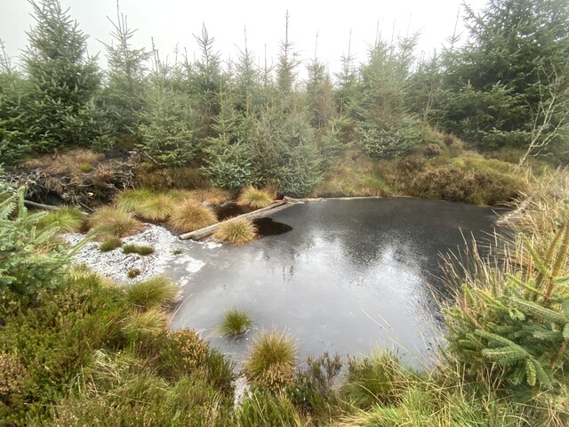
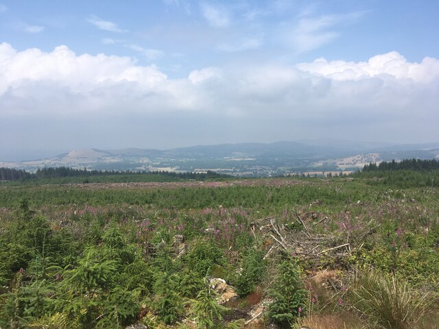
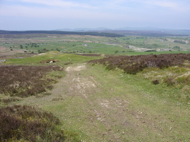
Pool Park is a historic country estate located in Denbighshire, Wales. Situated amidst picturesque downs and moorland, the park covers a vast area of approximately 120 acres. The estate is renowned for its stunning natural beauty and tranquil surroundings, offering visitors a peaceful retreat from the hustle and bustle of daily life.
The centerpiece of Pool Park is a grand Georgian mansion, which dates back to the 1820s. The architecture of the house is a testament to the elegance and sophistication of the era, with its symmetrical design, beautiful stonework, and grand entrance.
Surrounding the mansion, visitors can explore the meticulously landscaped gardens, which boast an array of colorful flowers, well-manicured lawns, and charming pathways. The estate also features a picturesque lake, adding to the overall serenity and charm of the place.
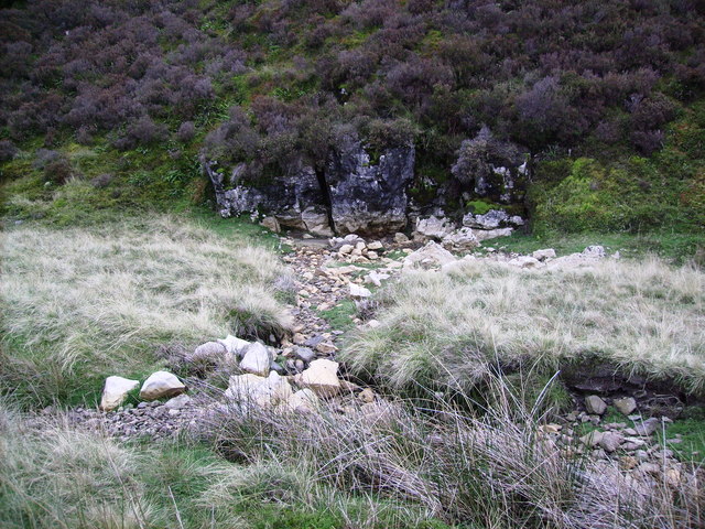
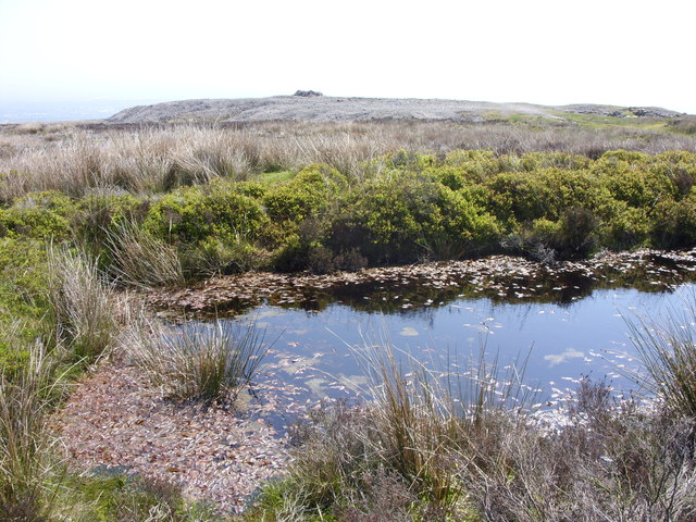
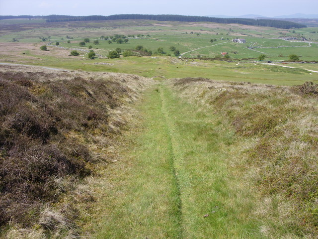
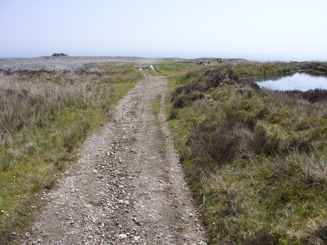
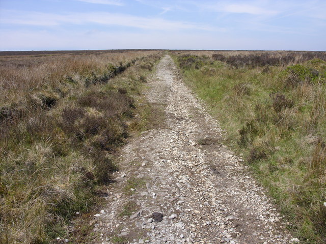
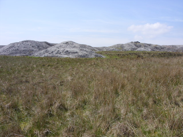
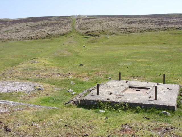
For nature enthusiasts, the downs and moorland surrounding Pool Park offer a delightful opportunity for hiking and exploring. The rolling hills, expansive greenery, and diverse wildlife make it a haven for outdoor enthusiasts and wildlife photographers alike.
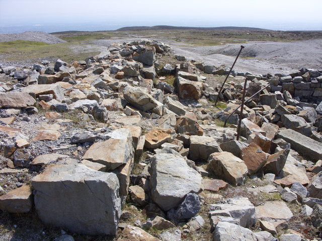
In addition to its natural beauty, Pool Park also holds historical significance. The mansion has seen its fair share of notable residents and visitors throughout the years, and its walls are adorned with stories of the past.
Overall, Pool Park in Denbighshire is a treasure trove of natural beauty, historical significance, and serene surroundings. Whether one seeks a peaceful stroll through the gardens, an adventure in the surrounding countryside, or a glimpse into the past, this estate offers something for everyone.
If you have any feedback on the listing, please let us know in the comments section below.
Pool Park Images
Images are sourced within 2km of 53.04467/-3.1217951 or Grid Reference SJ2450. Thanks to Geograph Open Source API. All images are credited.


Pool Park is located at Grid Ref: SJ2450 (Lat: 53.04467, Lng: -3.1217951)
Unitary Authority: Wrexham
Police Authority: North Wales
What 3 Words
///tightrope.strongly.grace. Near Coedpoeth, Wrexham
Nearby Locations
Related Wikis

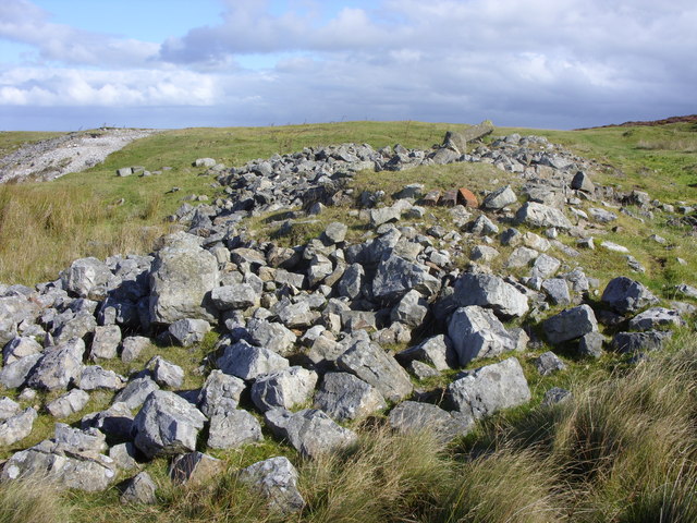
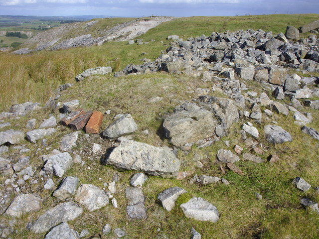
Ogof Llyn Parc
Ogof Llyn Parc usually known as Pool Park is a cave on Esclusham Mountain above Wrexham, Wales, that has a 100 metres (330 ft) entrance shaft, normally...

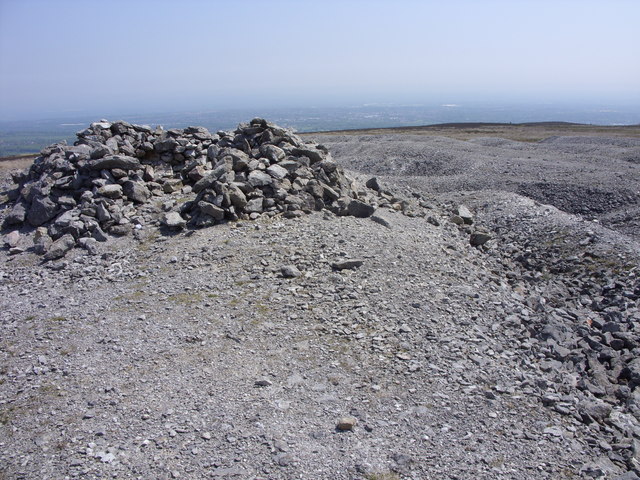
Ruabon Moors
The Ruabon Moors are an area of upland moorland in Wales to the west of Ruabon and Wrexham. They lie partly within Wrexham County Borough and partly within...

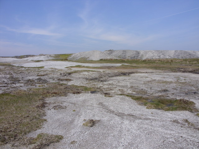
Minera Limeworks
The Minera Limeworks were extensive lime quarries and kilns at Minera in Wrexham, Wales. It was located at grid reference SJ253520, near the villages...

Ogof Dydd Byraf
Ogof Dydd Byraf is a cave which extends under Esclusham Mountain in the north-east Wales from its entrance in the south face of the Minera Limeworks quarry...
Nearby Amenities
Located within 500m of 53.04467,-3.1217951Have you been to Pool Park?
Leave your review of Pool Park below (or comments, questions and feedback).