Lomond Fields
Downs, Moorland in Fife
Scotland
Lomond Fields

Lomond Fields is a vast and picturesque area located in Fife, Scotland, known for its stunning downs and moorland. Spanning across acres of land, this natural landscape offers a diverse and captivating environment for visitors to explore.
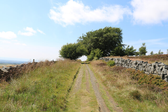
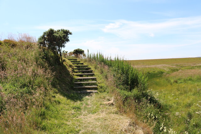
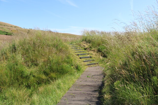
The downs of Lomond Fields are characterized by their gently rolling hills and expansive grassy plains. These open spaces provide a sense of tranquility and are perfect for leisurely walks, picnics, and outdoor activities. The downs are adorned with an array of wildflowers, creating a vibrant and colorful tapestry during the spring and summer months.
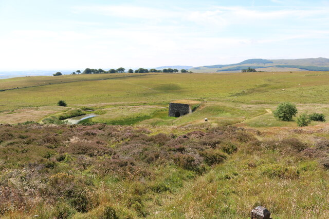
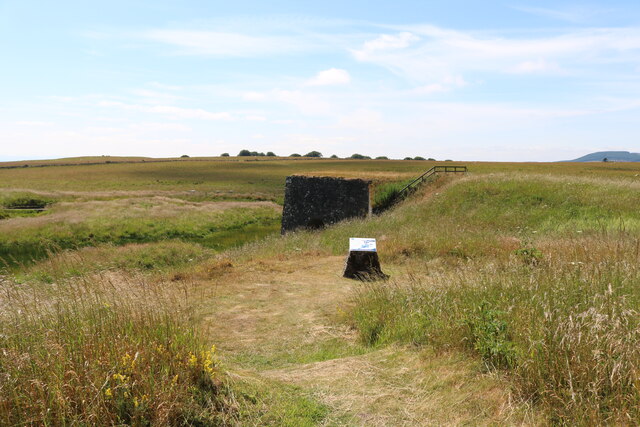
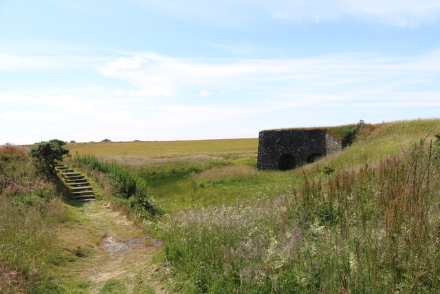
The moorland area within Lomond Fields showcases a unique and rugged beauty. Here, visitors can immerse themselves in a more untamed landscape, characterized by heather-covered hills, scattered boulders, and peat bogs. This environment is home to various species of birds, including the iconic red grouse, as well as other wildlife such as deer and rabbits.
The charm of Lomond Fields lies not only in its natural beauty but also in the sense of serenity it offers. Far away from the hustle and bustle of city life, this area provides a peaceful retreat for those seeking solace in nature. Its unspoiled landscapes and breathtaking views make it a popular destination for nature enthusiasts, hikers, and photographers.
Lomond Fields, Fife, is truly a haven for those looking to connect with nature and experience the beauty of the Scottish countryside.
If you have any feedback on the listing, please let us know in the comments section below.
Lomond Fields Images
Images are sourced within 2km of 56.252257/-3.2140627 or Grid Reference NO2407. Thanks to Geograph Open Source API. All images are credited.


Lomond Fields is located at Grid Ref: NO2407 (Lat: 56.252257, Lng: -3.2140627)
Unitary Authority: Fife
Police Authority: Fife
What 3 Words
///sung.overlooks.requiring. Near Falkland, Fife
Nearby Locations
Related Wikis

Brunton House, Falkland
Brunton House is a Category A listed building in the village of Falkland in Fife, Scotland. It was formerly the residence of the hereditary falconers to...

Falkland Town Hall
Falkland Town Hall is a municipal building in the High Street, Falkland, Fife, Scotland. The structure, which has been converted for use as offices and...
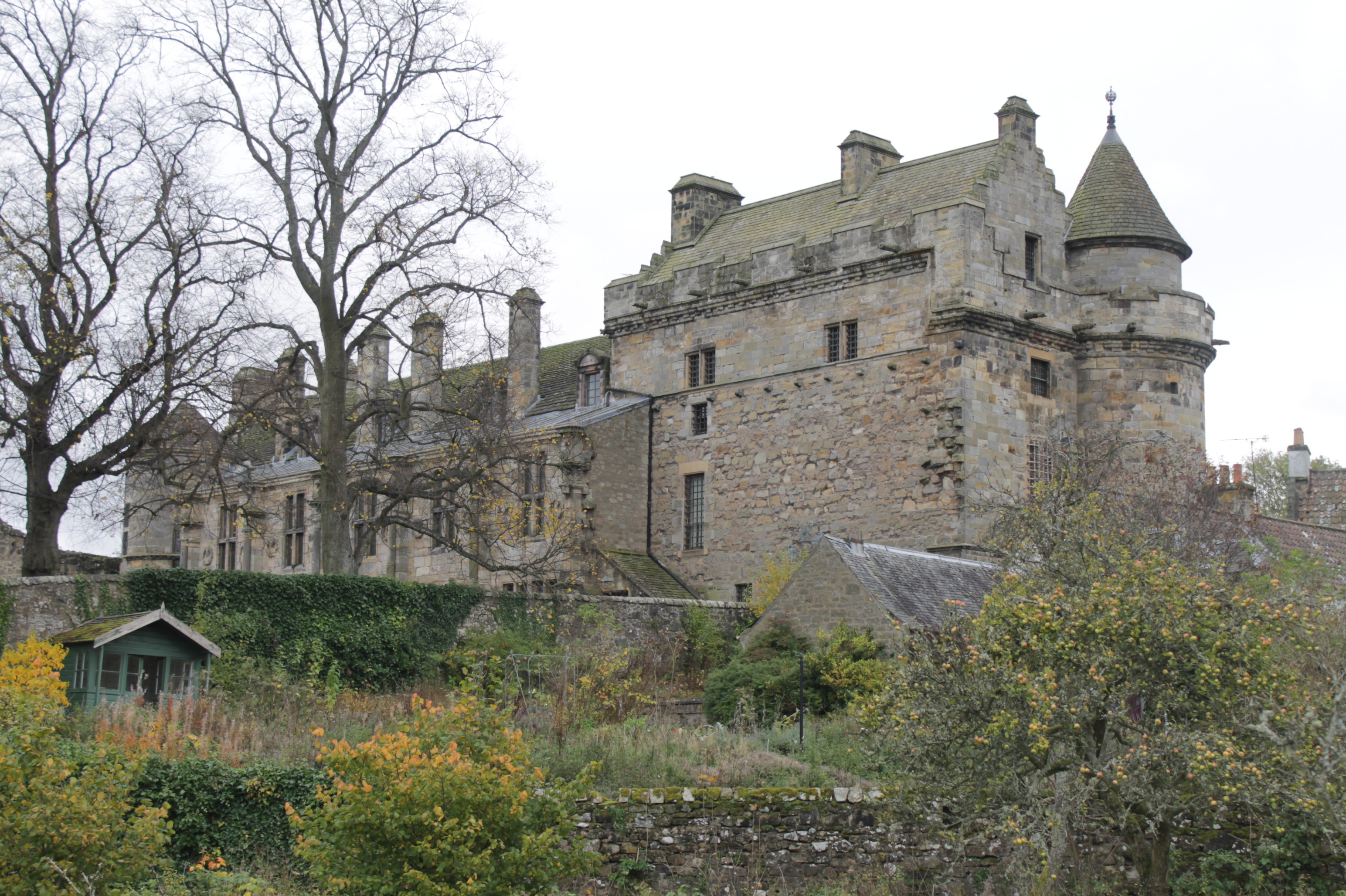
Falkland Palace
Falkland Palace, in Falkland, Fife, Scotland, is a royal palace of the Scottish Kings. It was one of the favourite places of Mary, Queen of Scots, providing...
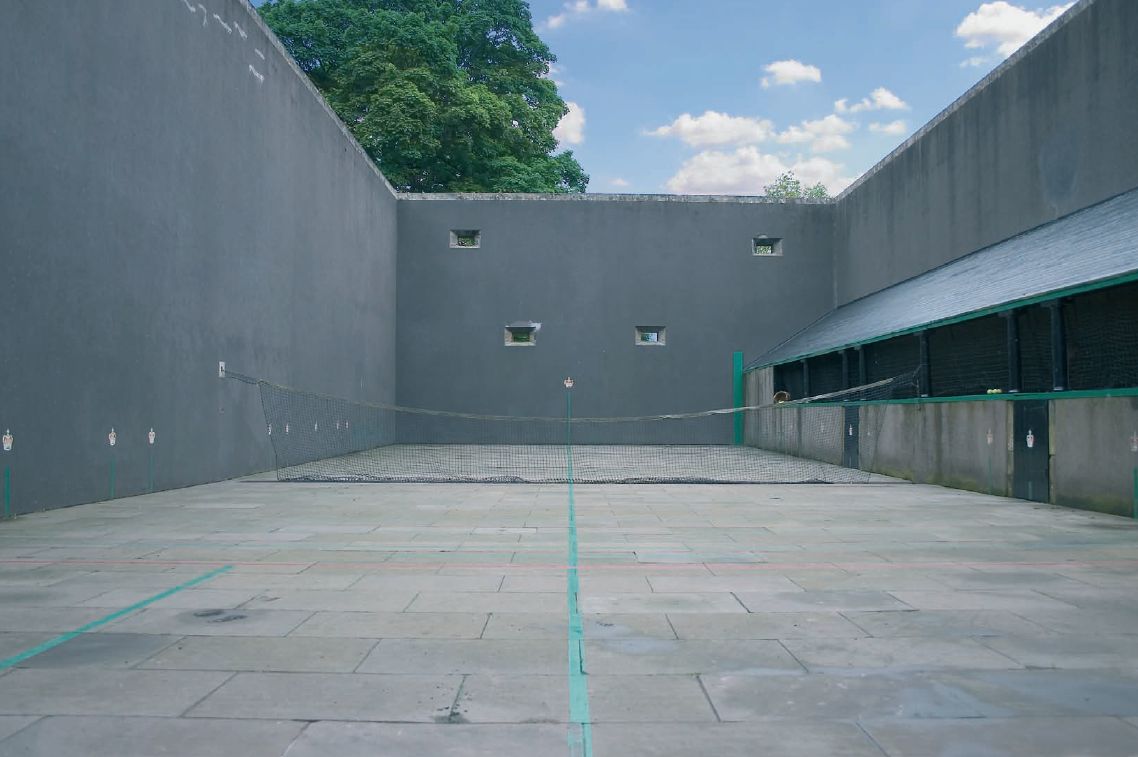
Falkland Palace Royal Tennis Club
The Falkland Palace Royal Tennis Club (also previously called the Falkland Palace Real Tennis Club) organizes play at the real tennis court in the gardens...
Nearby Amenities
Located within 500m of 56.252257,-3.2140627Have you been to Lomond Fields?
Leave your review of Lomond Fields below (or comments, questions and feedback).