Dalton Moor

Downs, Moorland in Lancashire Barrow-in-Furness

England

Dalton Moor

Ordnance Survey Cut Mark This OS cut mark can be found on the boundary stone south of the road. It marks a point 250.354m above mean sea level. <a title="https://www.geograph.org.uk/photo/7105569" href="https://www.geograph.org.uk/photo/7105569">Link</a>
Ordnance Survey Cut Mark Credit: Adrian Dust

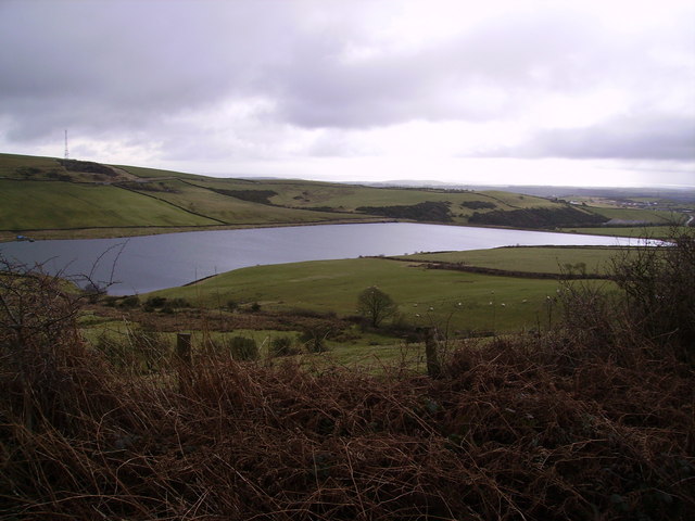
Dalton Moor is a picturesque area located in Lancashire, England. Known for its expansive downs and moorland, this region offers breathtaking views and a peaceful atmosphere. Covering a vast expanse of land, Dalton Moor is a popular destination for nature enthusiasts and those seeking solitude in the midst of stunning landscapes.

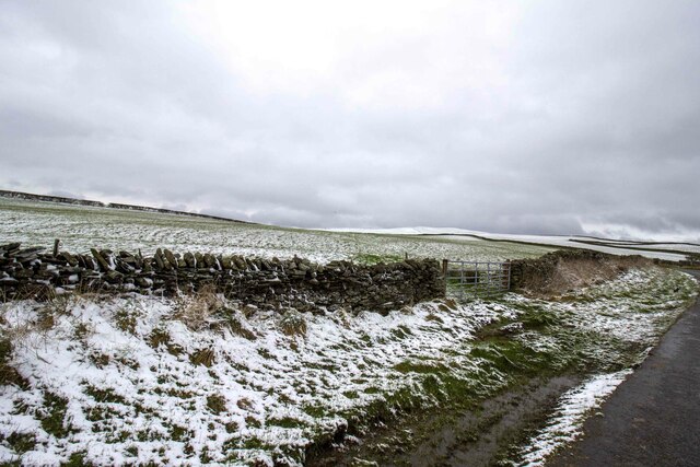
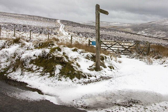
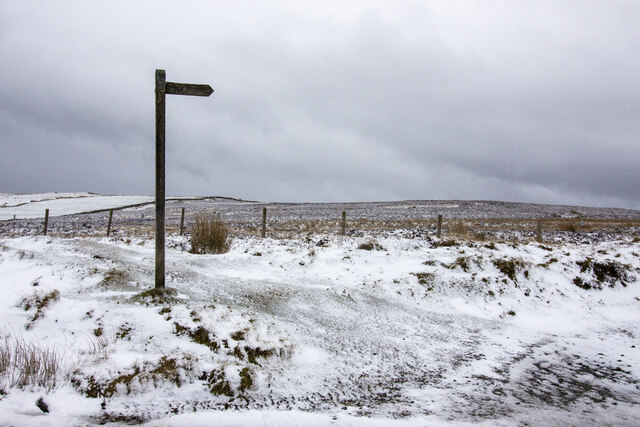
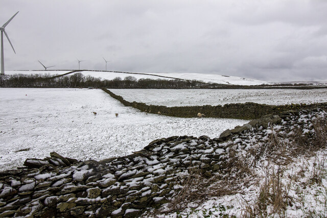
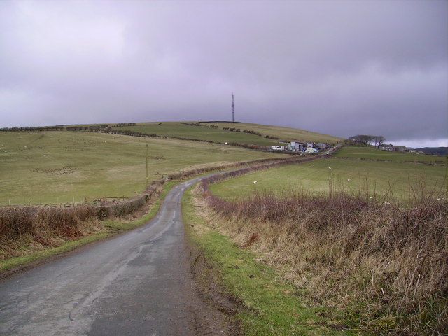
The moorland in Dalton Moor consists of wide open spaces covered in heather, grass, and low shrubs. Its unique flora and fauna make it a haven for wildlife, including various species of birds, mammals, and insects. Visitors may catch a glimpse of rare species such as curlews, lapwings, and red grouses.

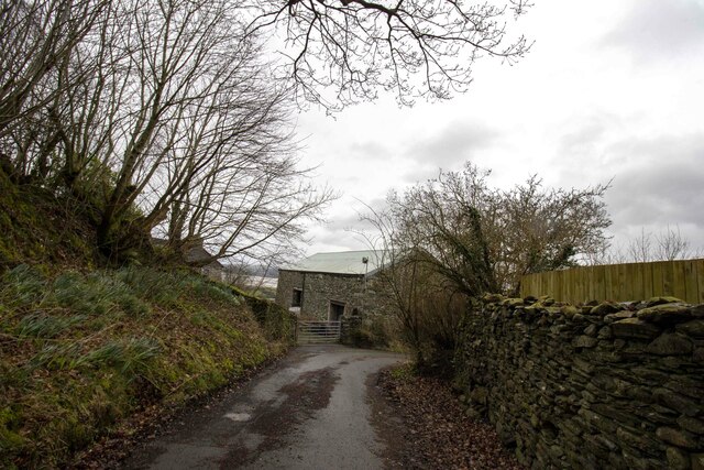
The area's downs are characterized by rolling hills and expansive grasslands. The lush green fields are often dotted with grazing livestock, adding to the rural charm of the landscape. Walking or hiking through the downs provides visitors with an opportunity to immerse themselves in nature and appreciate the beauty of the surrounding countryside.

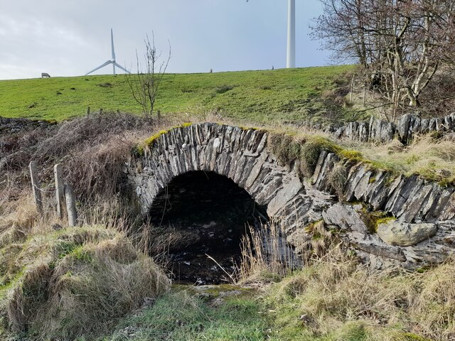
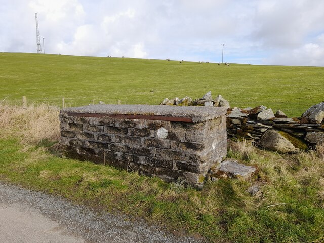
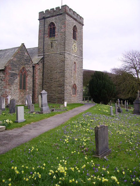
Dalton Moor is also home to several walking trails and paths, allowing visitors to explore the area while taking in the stunning views. These trails range in difficulty, catering to both casual strollers and more experienced hikers. Along the way, walkers may come across ancient landmarks, such as standing stones or burial mounds, adding a touch of history to the natural beauty of the moor.

Overall, Dalton Moor offers a serene and captivating experience for those who appreciate the tranquility of nature. Whether it's a leisurely stroll or an adventurous hike, visitors are sure to be enchanted by the charm and untouched beauty of this Lancashire gem.

If you have any feedback on the listing, please let us know in the comments section below.
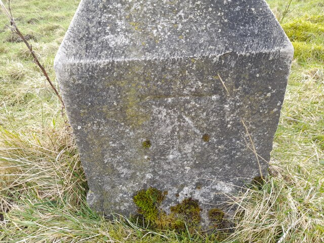
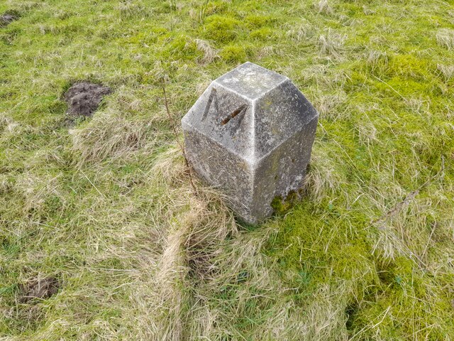
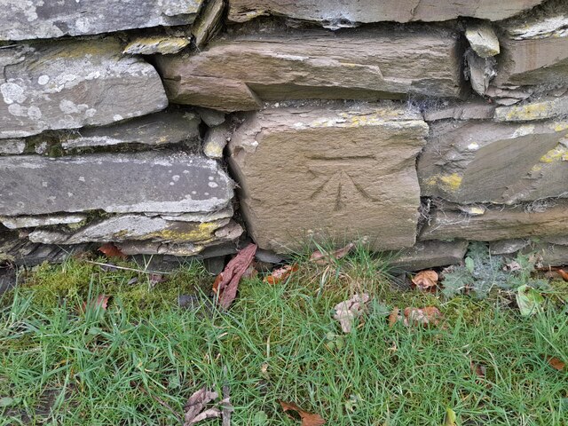
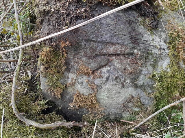
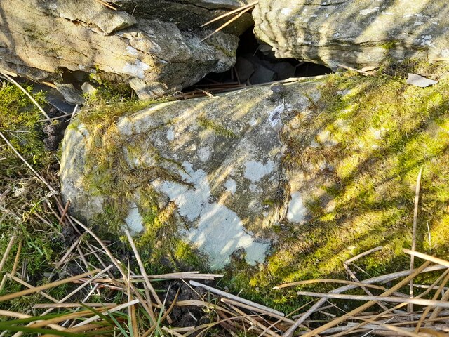
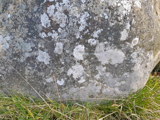
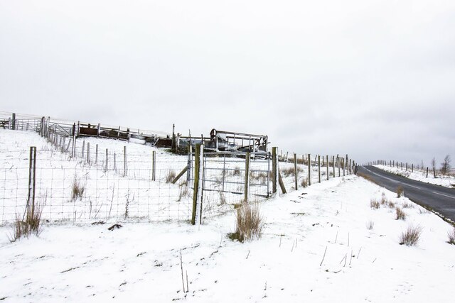
Dalton Moor Images

Images are sourced within 2km of 54.208178/-3.1598548 or Grid Reference SD2479. Thanks to Geograph Open Source API. All images are credited.

Ordnance Survey Cut Mark This OS cut mark can be found on the boundary stone south of the road. It marks a point 250.354m above mean sea level. <a title="https://www.geograph.org.uk/photo/7105569" href="https://www.geograph.org.uk/photo/7105569">Link</a>
Ordnance Survey Cut Mark
This OS cut mark can be found on the boundary stone south of the road. It marks a point 250.354m above mean sea level. Link
Boundary Stone There is an Ordnance Survey cut mark on the stone. <a title="https://www.geograph.org.uk/photo/7105567" href="https://www.geograph.org.uk/photo/7105567">Link</a>
Boundary Stone
There is an Ordnance Survey cut mark on the stone. Link
Ordnance Survey Cut Mark This OS cut mark can be found on the roadside barn at Harlock. It marks a point 211.640m above mean sea level.
Ordnance Survey Cut Mark
This OS cut mark can be found on the roadside barn at Harlock. It marks a point 211.640m above mean sea level.
Ordnance Survey Cut Mark This OS cut mark can be found on the NE parapet of Rathmoss Bridge. It marks a point 204.680m above mean sea level.
Ordnance Survey Cut Mark
This OS cut mark can be found on the NE parapet of Rathmoss Bridge. It marks a point 204.680m above mean sea level.
Ordnance Survey Rivet This OS rivet can be found on the wall 15m NE of the road. It marks a point 241.088m above mean sea level.
Ordnance Survey Rivet
This OS rivet can be found on the wall 15m NE of the road. It marks a point 241.088m above mean sea level.
Ordnance Survey Cut Mark This OS cut mark can be found on the boulder north side of the road. It marks a point 139.087m above mean sea level.
Ordnance Survey Cut Mark
This OS cut mark can be found on the boulder north side of the road. It marks a point 139.087m above mean sea level.
Gateway to field Gateway to field near Horrace
Gateway to field
Gateway to field near Horrace
Derelict railway carriage Derelict railway carriage near Bank House Moor
Derelict railway carriage
Derelict railway carriage near Bank House Moor
Gateway to moorland Footpath and gateway to moorland
Gateway to moorland
Footpath and gateway to moorland
Public footpath across moorland Public footpath signpost near Bank House Moor
Public footpath across moorland
Public footpath signpost near Bank House Moor
Bank House Farm Vernacular farm building at Bank House Farm
Bank House Farm
Vernacular farm building at Bank House Farm
Ordnance Survey Rivet This OS rivet can be found on the small concrete post east side of Pennington Road. It marks a point 208.322m above mean sea level.
Ordnance Survey Rivet
This OS rivet can be found on the small concrete post east side of Pennington Road. It marks a point 208.322m above mean sea level.
Devil's Bridge
Devil's Bridge
Churn Stand
Churn Stand
Ordnance Survey Cut Mark This OS cut mark can be found on the short stone post SE side of the road. It marks a point 243.122m above mean sea level.
Ordnance Survey Cut Mark
This OS cut mark can be found on the short stone post SE side of the road. It marks a point 243.122m above mean sea level.
Fields near Horrace
Fields near Horrace
Looking towards Rawlinsons Farm In the heart of Furness near Kirby which has been renamed 'Lake District Peninsulas' by some barmy bureaucrat a fortune has been spent on large brown road signs pointing the way to this new republic as you venture down the A590.
Looking towards Rawlinsons Farm
In the heart of Furness near Kirby which has been renamed 'Lake District Peninsulas' by some barmy bureaucrat a fortune has been spent on large brown road signs pointing the way to this new republic as you venture down the A590.
Poaka Beck Reservoir From the road near Standish Cote
Poaka Beck Reservoir
From the road near Standish Cote
Show me another place!

Dalton Moor is located at Grid Ref: SD2479 (Lat: 54.208178, Lng: -3.1598548)

Administrative County: Cumbria

District: Barrow-in-Furness

Police Authority: Cumbria

What 3 Words

///meaty.motivate.education. Near Swarthmoor, Cumbria

Related Wikis

Nearby Amenities

Located within 500m of 54.208178,-3.1598548
Ford: yes
Lat/Long: 54.2102625/-3.1540277
Ford: yes
Lat/Long: 54.2077898/-3.1645527
Generator Method: wind_turbine
Generator Output Electricity: yes
Generator Source: wind
Generator Type: horizontal_axis
Power: generator
Source: Esri;local_knowledgee
Lat/Long: 54.2080085/-3.1525473
Crossing
Lat/Long: 54.2101511/-3.1541699
Generator Method: wind_turbine
Generator Output Electricity: yes
Generator Source: wind
Generator Type: horizontal_axis
Power: generator
Source: Esri;local_knowledgee
Lat/Long: 54.2094479/-3.1561337
Generator Method: wind_turbine
Generator Output Electricity: yes
Generator Source: wind
Generator Type: horizontal_axis
Power: generator
Source: Esri;local_knowledgee
Lat/Long: 54.2111286/-3.1593105
Crossing
Lat/Long: 54.2091468/-3.1601839
The data included in this document is from www.openstreetmap.org. The data is made available under ODbL.

Have you been to Dalton Moor?

Leave your review of Dalton Moor below (or comments, questions and feedback).