Harlock Reservoir

Lake, Pool, Pond, Freshwater Marsh in Lancashire Barrow-in-Furness

England

Harlock Reservoir

Ordnance Survey Cut Mark This OS cut mark can be found on the boundary stone south of the road. It marks a point 250.354m above mean sea level. <a title="https://www.geograph.org.uk/photo/7105569" href="https://www.geograph.org.uk/photo/7105569">Link</a>
Ordnance Survey Cut Mark Credit: Adrian Dust

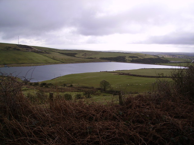
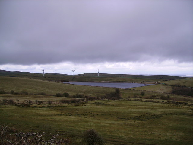
Harlock Reservoir is a picturesque freshwater lake located in Lancashire, England. Spanning an area of approximately 30 acres, it is a popular destination for nature enthusiasts and offers a tranquil escape from the hustle and bustle of city life.

Surrounded by lush greenery and rolling hills, Harlock Reservoir is a haven for wildlife. Its calm waters provide a habitat for numerous species of fish, including roach, pike, and carp, making it a favorite spot for anglers. Birdwatchers can also delight in the diverse avian population that frequents the reservoir, with sightings of herons, swans, and ducks being common.

The reservoir's surroundings consist of a mix of woodland and meadows, providing ample opportunities for hiking and exploring. Nature trails wind their way through the area, allowing visitors to immerse themselves in the natural beauty of the landscape. The tranquil atmosphere makes it an ideal spot for picnics, with several designated areas offering stunning views of the reservoir.

In addition to its natural charm, Harlock Reservoir also serves as a vital water source for the local community. The reservoir plays a crucial role in supplying clean and fresh water to nearby towns, ensuring the well-being of residents.

Overall, Harlock Reservoir is a serene and scenic location that offers a range of recreational activities for visitors to enjoy. Whether it's fishing, birdwatching, hiking, or simply relaxing amidst nature, this Lancashire gem has something to offer for everyone.

If you have any feedback on the listing, please let us know in the comments section below.

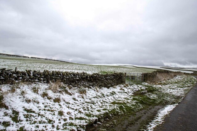
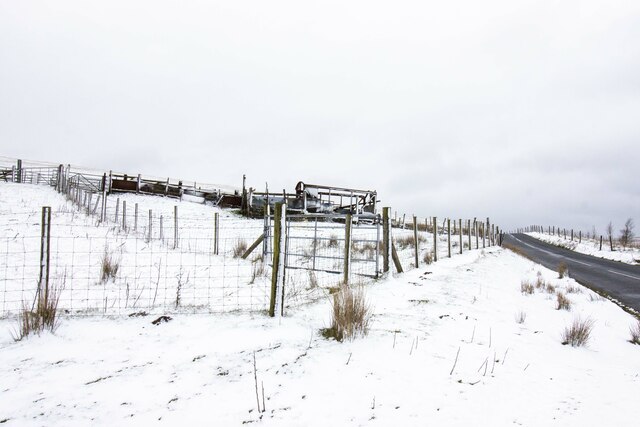
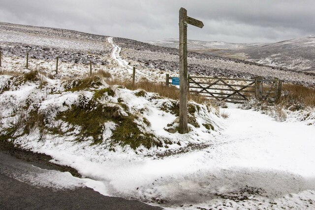
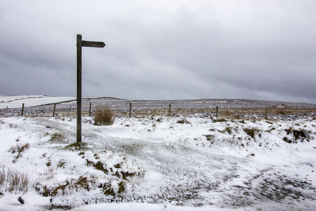
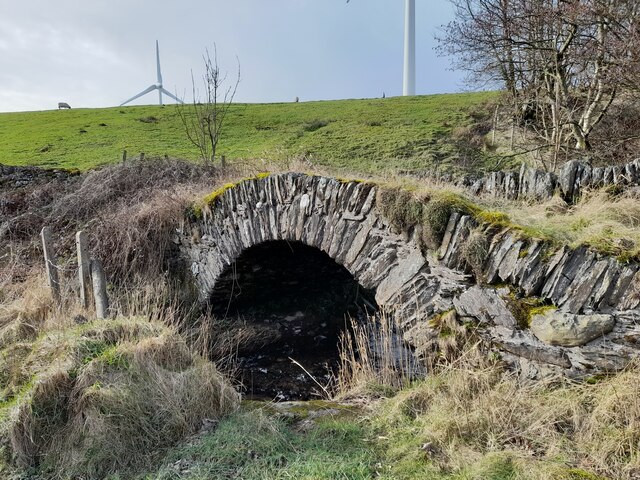
Harlock Reservoir Images

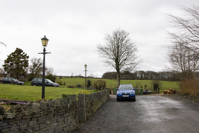
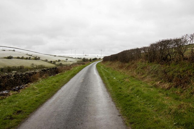
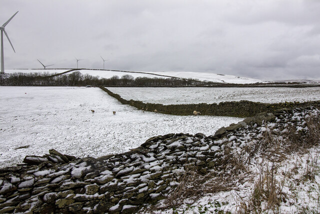
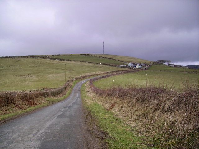
Images are sourced within 2km of 54.203189/-3.153368 or Grid Reference SD2479. Thanks to Geograph Open Source API. All images are credited.

Ordnance Survey Cut Mark This OS cut mark can be found on the boundary stone south of the road. It marks a point 250.354m above mean sea level. <a title="https://www.geograph.org.uk/photo/7105569" href="https://www.geograph.org.uk/photo/7105569">Link</a>
Ordnance Survey Cut Mark
This OS cut mark can be found on the boundary stone south of the road. It marks a point 250.354m above mean sea level. Link
Boundary Stone There is an Ordnance Survey cut mark on the stone. <a title="https://www.geograph.org.uk/photo/7105567" href="https://www.geograph.org.uk/photo/7105567">Link</a>
Boundary Stone
There is an Ordnance Survey cut mark on the stone. Link
Ordnance Survey Cut Mark This OS cut mark can be found on the roadside barn at Harlock. It marks a point 211.640m above mean sea level.
Ordnance Survey Cut Mark
This OS cut mark can be found on the roadside barn at Harlock. It marks a point 211.640m above mean sea level.
Ordnance Survey Cut Mark This OS cut mark can be found on the NE parapet of Rathmoss Bridge. It marks a point 204.680m above mean sea level.
Ordnance Survey Cut Mark
This OS cut mark can be found on the NE parapet of Rathmoss Bridge. It marks a point 204.680m above mean sea level.
Gateway to field Gateway to field near Horrace
Gateway to field
Gateway to field near Horrace
Derelict railway carriage Derelict railway carriage near Bank House Moor
Derelict railway carriage
Derelict railway carriage near Bank House Moor
Gateway to moorland Footpath and gateway to moorland
Gateway to moorland
Footpath and gateway to moorland
Public footpath across moorland Public footpath signpost near Bank House Moor
Public footpath across moorland
Public footpath signpost near Bank House Moor
Ordnance Survey Rivet This OS rivet can be found on the small concrete post east side of Pennington Road. It marks a point 208.322m above mean sea level.
Ordnance Survey Rivet
This OS rivet can be found on the small concrete post east side of Pennington Road. It marks a point 208.322m above mean sea level.
Devil's Bridge
Devil's Bridge
Churn Stand
Churn Stand
Ordnance Survey Cut Mark This OS cut mark can be found on the short stone post SE side of the road. It marks a point 243.122m above mean sea level.
Ordnance Survey Cut Mark
This OS cut mark can be found on the short stone post SE side of the road. It marks a point 243.122m above mean sea level.
Car park Car Park Pennington
Car park
Car Park Pennington
Road heading towards Pennington Reservoir Road near Copse Hill Plantation
Road heading towards Pennington Reservoir
Road near Copse Hill Plantation
Fields near Horrace
Fields near Horrace
Looking towards Rawlinsons Farm In the heart of Furness near Kirby which has been renamed 'Lake District Peninsulas' by some barmy bureaucrat a fortune has been spent on large brown road signs pointing the way to this new republic as you venture down the A590.
Looking towards Rawlinsons Farm
In the heart of Furness near Kirby which has been renamed 'Lake District Peninsulas' by some barmy bureaucrat a fortune has been spent on large brown road signs pointing the way to this new republic as you venture down the A590.
Poaka Beck Reservoir From the road near Standish Cote
Poaka Beck Reservoir
From the road near Standish Cote
Harlock Reservoir With its own Windfarm on Harlock Hill
Harlock Reservoir
With its own Windfarm on Harlock Hill
Show me another place!

Harlock Reservoir is located at Grid Ref: SD2479 (Lat: 54.203189, Lng: -3.153368)

Administrative County: Cumbria

District: Barrow-in-Furness

Police Authority: Cumbria

What 3 Words

///warthog.describe.crab. Near Swarthmoor, Cumbria

Related Wikis

Nearby Amenities

Located within 500m of 54.203189,-3.153368
Ewedale Farm road end
Local Ref: AT
Naptan AtcoCode: 090079561594
Naptan Bearing: N
Naptan BusStopType: CUS
Naptan CommonName: Ewedale Farm road end
Naptan Indicator: at
Naptan Landmark: Ewedale Farm Road End
Naptan NaptanCode: cumdmdmd
Naptan Street: No name
Naptan Verified: no
Source: naptan_import
Lat/Long: 54.2002576/-3.1497206
Generator Method: wind_turbine
Generator Output Electricity: yes
Generator Source: wind
Generator Type: horizontal_axis
Power: generator
Lat/Long: 54.2048072/-3.1484097
Generator Method: wind_turbine
Generator Output Electricity: yes
Generator Source: wind
Generator Type: horizontal_axis
Power: generator
Lat/Long: 54.203885/-3.146221
Power: pole
Lat/Long: 54.1998903/-3.1582314
Power: pole
Lat/Long: 54.2000927/-3.1566139
Power: pole
Lat/Long: 54.200257/-3.1553425
The data included in this document is from www.openstreetmap.org. The data is made available under ODbL.

Have you been to Harlock Reservoir?

Leave your review of Harlock Reservoir below (or comments, questions and feedback).