Moss of Rothes
Downs, Moorland in Morayshire
Scotland
Moss of Rothes

Moss of Rothes is a picturesque area located in Morayshire, Scotland. Known for its stunning natural beauty, it is characterized by rolling downs and moorland, providing a haven for wildlife and outdoor enthusiasts alike.
The downs of Moss of Rothes offer expansive, open landscapes, with gently undulating hills covered in lush, green grass. These downs are interspersed with small patches of heather and wildflowers, adding vibrant colors to the scenery. Visitors can enjoy leisurely walks or hikes, taking in the breathtaking views of the surrounding countryside.
The moorland in Moss of Rothes is a testament to the area's diverse ecosystems. Covered in heather, this vast expanse of land offers a rich habitat for a variety of bird species, including grouse and skylarks. The moorland is also home to numerous plant species, such as sphagnum moss and cotton grass, which thrive in the damp and acidic conditions.
Nature lovers will be delighted to discover the abundant wildlife that calls Moss of Rothes home. Red deer can often be spotted, gracefully roaming the hillsides, while smaller mammals like hares and rabbits dart across the landscape. Birdwatchers will have the opportunity to see a range of species, including buzzards, kestrels, and even the elusive golden eagle.
Moss of Rothes is a tranquil and unspoiled part of Morayshire, offering visitors a chance to immerse themselves in the beauty of Scotland's natural landscapes. Whether it is exploring the downs, discovering the unique moorland, or simply enjoying the serenity of the surroundings, Moss of Rothes is a destination that captivates and enchants all who visit.
If you have any feedback on the listing, please let us know in the comments section below.
Moss of Rothes Images
Images are sourced within 2km of 57.539938/-3.268404 or Grid Reference NJ2450. Thanks to Geograph Open Source API. All images are credited.


Moss of Rothes is located at Grid Ref: NJ2450 (Lat: 57.539938, Lng: -3.268404)
Unitary Authority: Moray
Police Authority: North East
What 3 Words
///view.clerics.dignify. Near Rothes, Moray
Nearby Locations
Related Wikis
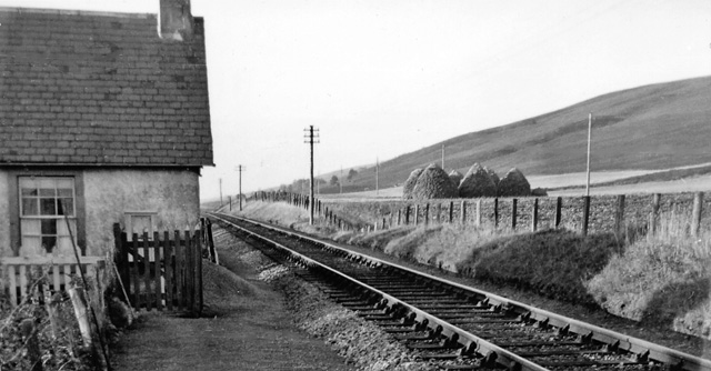
Birchfield Halt railway station
Birchfield Platform railway station, Birchfield Halt railway station or Birchfield Siding railway station served the rural area near Glen of Rothes House...
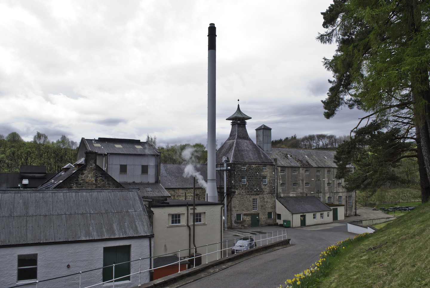
Speyburn distillery
Speyburn distillery Speyside Scottish whisky distillery, in Rothes, Moray, Scotland. == History == Speyburn distillery was founded in 1897 by John Hopkins...

Moray (UK Parliament constituency)
Moray ( MURR-ee; Scots: Moray; Scottish Gaelic: Moireibh or Moireabh) is a county constituency of the House of Commons of the Parliament of the United...
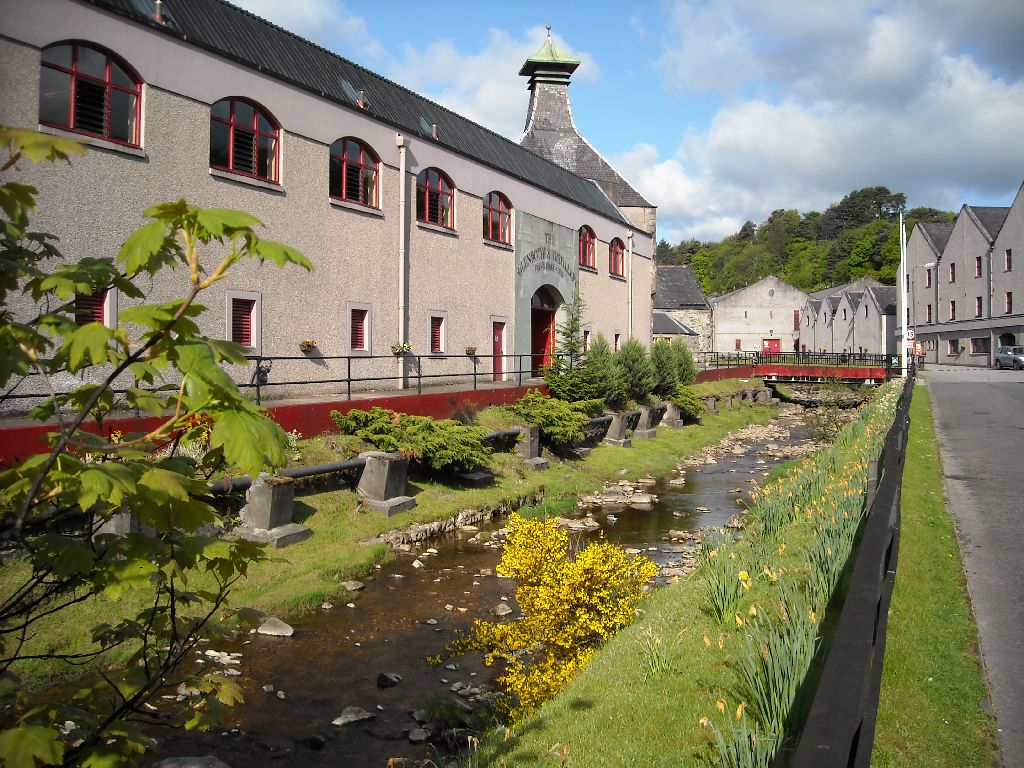
The Glenrothes distillery
The Glenrothes distillery is a Speyside single malt Scotch whisky distillery. The Glenrothes distillery is located in the town of Rothes in the heart of...
Have you been to Moss of Rothes?
Leave your review of Moss of Rothes below (or comments, questions and feedback).