Birrens Moss
Downs, Moorland in Dumfriesshire
Scotland
Birrens Moss

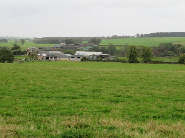
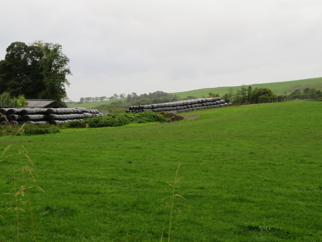
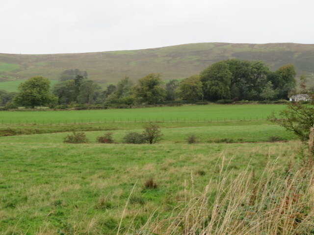
Birrens Moss is a vast expanse of moorland located in Dumfriesshire, Scotland. It covers an area of approximately 1,400 hectares and is situated near the small village of Ecclefechan. The moss is characterized by its flat and open terrain, consisting of a combination of peat bogs, heath, and grassland.
This unique landscape is home to a diverse range of plant and animal species. The moss is known for its rare and fragile ecosystem, with several notable plants such as bog rosemary, sundew, and cotton grass thriving in the wetter areas. The moorland also supports a variety of bird species, including the Hen Harrier and Short-eared Owl, making it a popular destination for birdwatching enthusiasts.
Birrens Moss has a rich historical significance as well. The area is home to the remains of a Roman fort, known as Birrens, which was established around 80 AD. The fort played a crucial role in guarding the Roman Empire's northern frontier and served as a base for the Roman army. Today, visitors can explore the archaeological remains of the fort, including the foundations of the barracks, granaries, and a bathhouse.
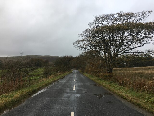
The moss is a haven for outdoor enthusiasts, offering numerous walking and hiking trails that allow visitors to immerse themselves in the tranquil beauty of the moorland. Its remote location and peaceful surroundings make it an ideal spot for those seeking solitude and a connection with nature.
If you have any feedback on the listing, please let us know in the comments section below.
Birrens Moss Images
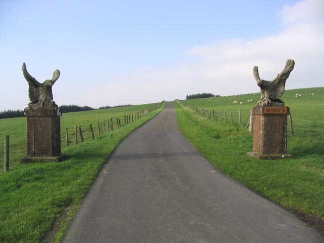
Images are sourced within 2km of 55.11546/-3.1906888 or Grid Reference NY2480. Thanks to Geograph Open Source API. All images are credited.


Birrens Moss is located at Grid Ref: NY2480 (Lat: 55.11546, Lng: -3.1906888)
Unitary Authority: Dumfries and Galloway
Police Authority: Dumfries and Galloway
What 3 Words
///stables.salon.sandpaper. Near Lockerbie, Dumfries & Galloway
Nearby Locations
Related Wikis
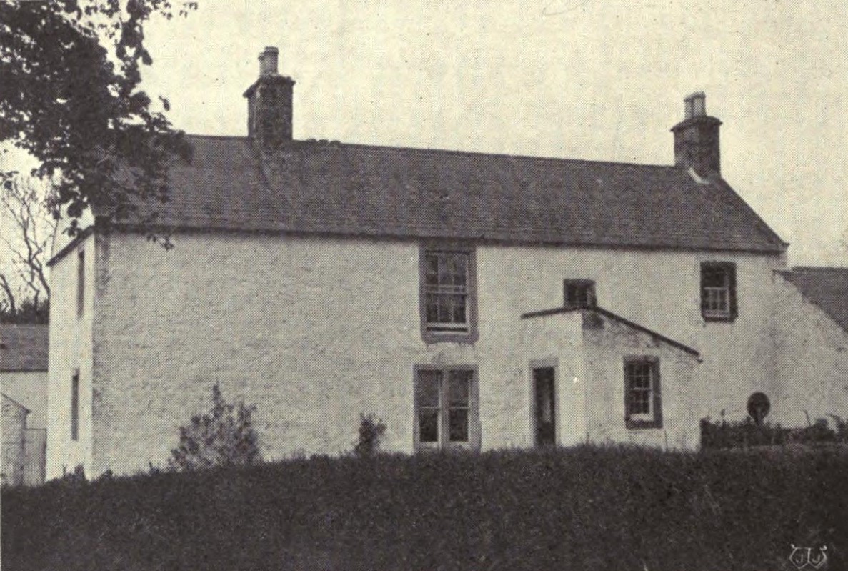
Scotsbrig
Scotsbrig is a farm near Ecclefechan, Dumfries and Galloway, Scotland, and a Category B listed building. Thomas Carlyle lived there with his family in...

Annandale and Eskdale
Annandale and Eskdale is a committee area in Dumfries and Galloway, Scotland. It covers the areas of Annandale and Eskdale, the straths of the River Annan...

Middlebie
Middlebie is a hamlet and parish in the historic county of Dumfriesshire in Dumfries and Galloway, south-west Scotland. It is approximately 2 miles (3...

Dogslacks
Dogslacks is a farmstead in the Parish of Middlebie, in the Stewartry of Kirkcudbright in Scotland. == References == Dogslacks at the National Archives...
Have you been to Birrens Moss?
Leave your review of Birrens Moss below (or comments, questions and feedback).