Tongue
Downs, Moorland in Cumberland Copeland
England
Tongue

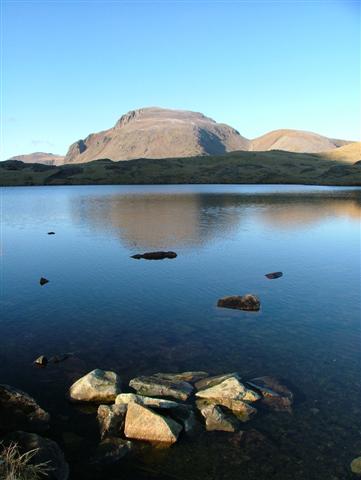
Tongue is a village situated in the county of Cumberland, England. It is located in the northern part of the county, near the border with Scotland. Tongue is renowned for its stunning natural landscapes, characterized by a combination of downs and moorland.
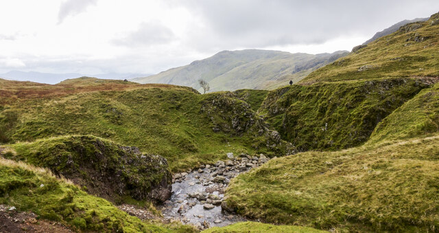
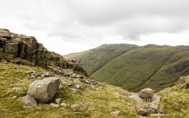
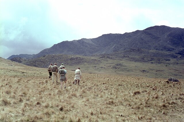
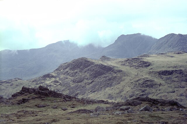
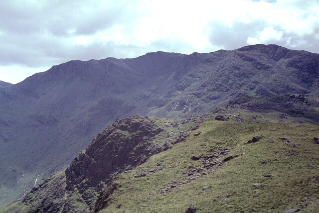
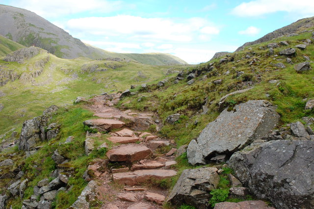
The downs in Tongue are rolling hills covered in lush green grass, creating a picturesque countryside setting. These downs provide a perfect backdrop for outdoor activities such as hiking, picnicking, and nature walks. The moorland, on the other hand, offers a more rugged and wild environment. It is dominated by heather, bracken, and other hardy vegetation, creating a unique and beautiful landscape.
The village of Tongue itself is small but charming, with a population of approximately 500 people. It has a rich history, dating back centuries, and is scattered with historic buildings and landmarks. The local community is friendly and welcoming, often engaging in traditional activities and events that celebrate their heritage.
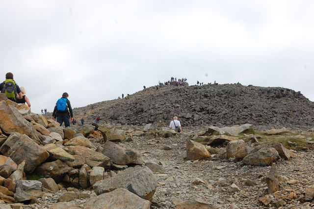
Tongue benefits from its proximity to the stunning Northumberland National Park, which attracts visitors from all over the country. The park offers a plethora of outdoor activities, including cycling, horse riding, and bird watching. Additionally, Tongue is conveniently located near the border with Scotland, allowing easy access to explore the Scottish Highlands and their breathtaking scenery.
In conclusion, Tongue, Cumberland (Downs, Moorland) is a picturesque village surrounded by stunning downs and moorland landscapes. It offers a range of outdoor activities and is an ideal destination for nature lovers and those seeking a peaceful retreat in the heart of the British countryside.
If you have any feedback on the listing, please let us know in the comments section below.
Tongue Images
Images are sourced within 2km of 54.457863/-3.1889181 or Grid Reference NY2307. Thanks to Geograph Open Source API. All images are credited.


Tongue is located at Grid Ref: NY2307 (Lat: 54.457863, Lng: -3.1889181)
Administrative County: Cumbria
District: Copeland
Police Authority: Cumbria
What 3 Words
///customers.benched.spearhead. Near Ambleside, Cumbria
Related Wikis
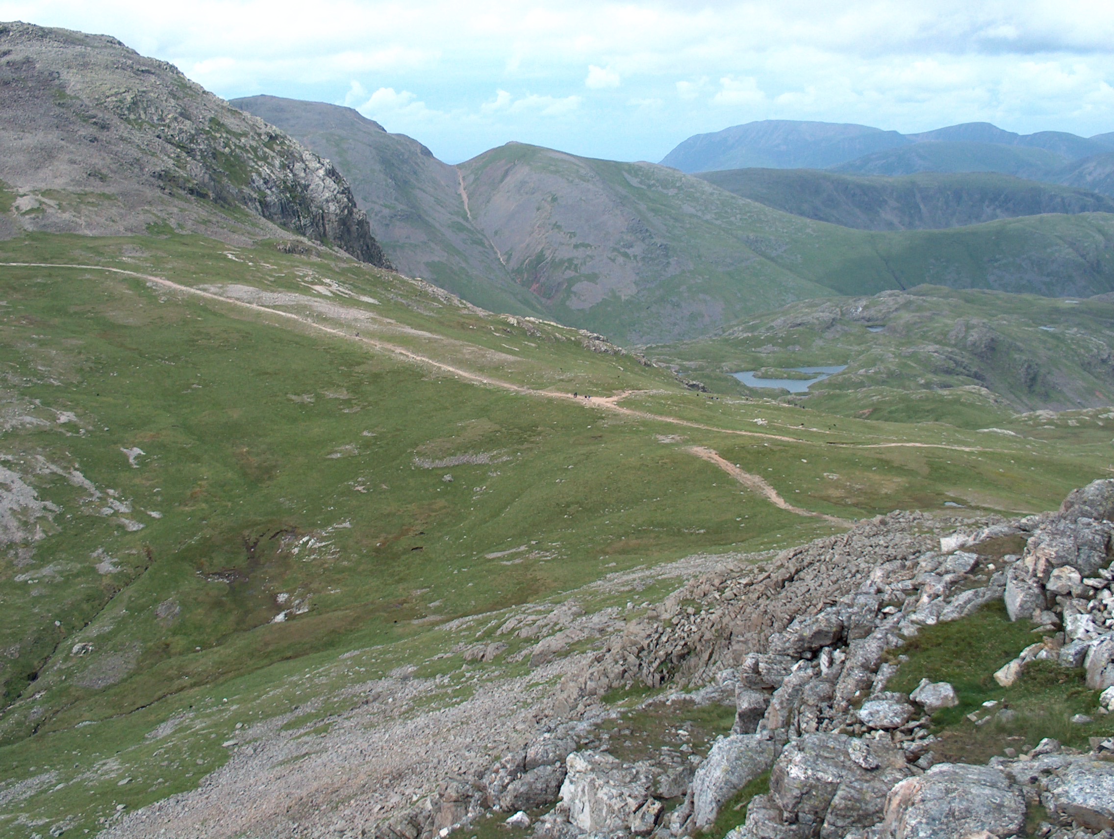
Esk Hause
Esk Hause is a mountain pass in the English Lake District, England. It is where the paths from Eskdale, Borrowdale, Langdale and Wasdale all meet. Esk...

Esk Pike
Esk Pike is a fell in the English Lake District, one of the cirque of hills forming the head of Eskdale. == Topography == The Southern Fells include the...

Great End
Great End is the most northerly mountain in the Scafell chain, in the English Lake District. From the south it is simply a lump continuing this chain....

Ill Crag
Ill Crag is a fell in the English Lake District. At 935 metres (3,068 ft), it is the fourth-highest peak in England, after Scafell Pike, Sca Fell, and...

Allen Crags
Allen Crags is a fell in the English Lake District, it lies in a group of very popular hills and is regarded as part of the Scafell group of fells. It...

Broad Crag
Broad Crag is a fell in the English Lake District. It is the fifth-highest peak in England at a height of 3,064 feet (934 metres). The mountain was gifted...

Angle Tarn (Langstrath)
Angle Tarn is a tarn to the north of Bowfell in the English Lake District. It drains into Langstrath Beck. This should not be confused with Angle Tarn...
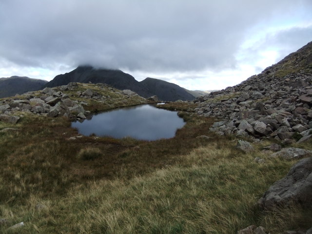
Sprinkling Tarn
Sprinkling Tarn is a body of water at the foot of Great End, in the Southern Fells in Lake District, 3 kilometres (1.9 mi) from Seathwaite, Cumbria, England...
Nearby Amenities
Located within 500m of 54.457863,-3.1889181Have you been to Tongue?
Leave your review of Tongue below (or comments, questions and feedback).