North Down

Downs, Moorland in Somerset Somerset West and Taunton

England

North Down

Path, Staple Hill Broadleaves have been retained along the edge of the conifer plantation.
Path, Staple Hill Credit: Derek Harper

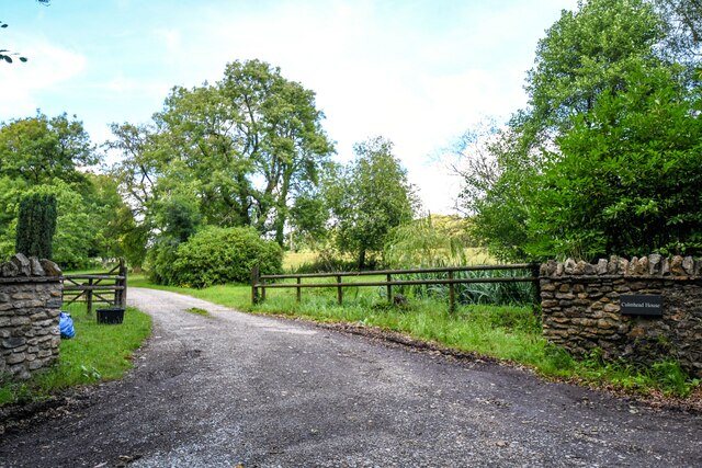
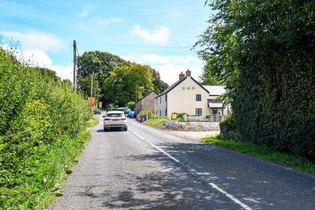
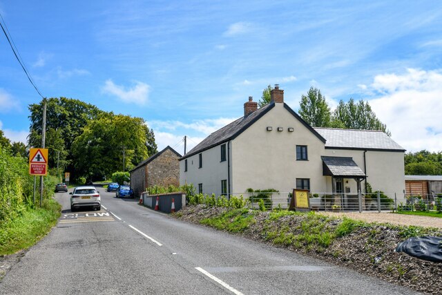
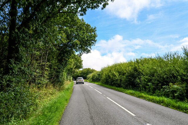
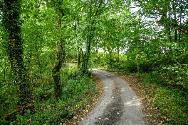
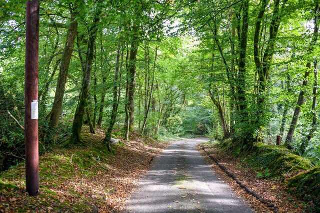
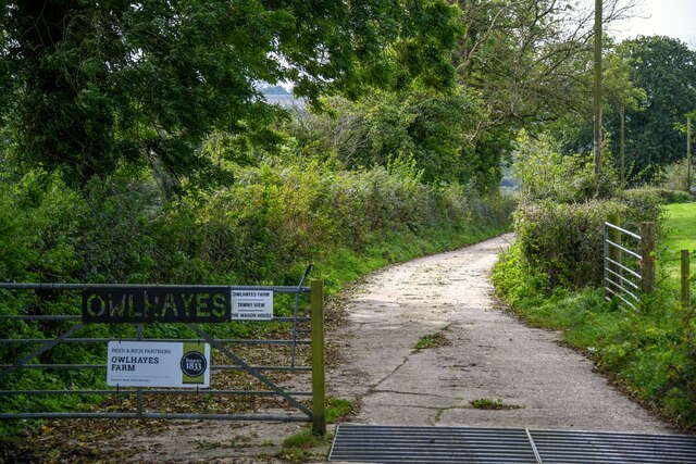
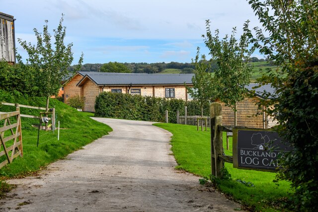
North Down, Somerset is a picturesque region located in the southwestern part of England. Known for its stunning landscapes, this area encompasses a diverse range of terrain, including downs, moorland, and rolling hills. It is nestled between the Mendip Hills to the north and the Bristol Channel to the south, providing residents and visitors with breathtaking panoramic views.

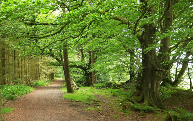
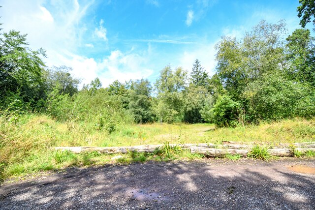
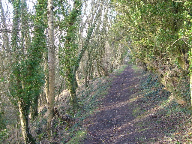
The downs in North Down, Somerset are characterized by their gently sloping hills, covered with lush green meadows and dotted with vibrant wildflowers during the warmer months. This creates a serene and idyllic atmosphere, perfect for leisurely walks or picnics. The downs also offer numerous opportunities for outdoor activities such as hiking, cycling, and horseback riding.

The moorland in North Down, Somerset is a unique feature of the region's landscape. It is dominated by heather and gorse, creating a captivating purple and yellow color palette. Moorland walks allow visitors to immerse themselves in the tranquility of this untouched natural habitat, while also providing a chance to spot various bird species and other wildlife.

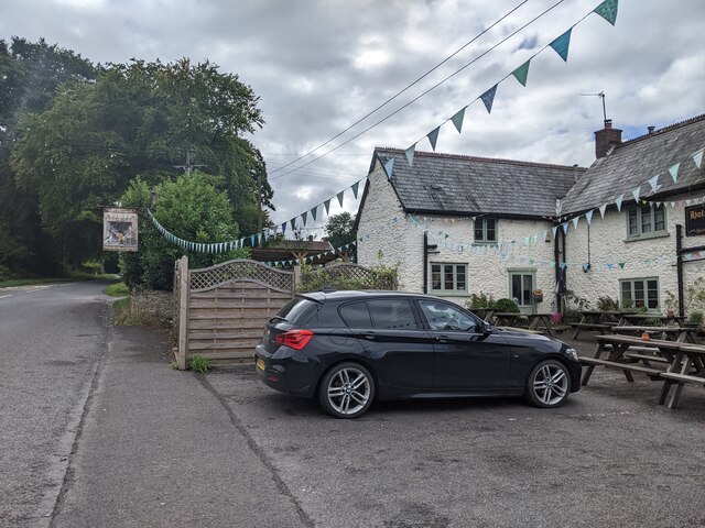
North Down, Somerset is home to several charming villages and towns that are renowned for their traditional architecture, quaint shops, and friendly locals. These communities offer a range of amenities including cozy pubs, local markets, and historical landmarks, adding to the area's charm and appeal.

Overall, North Down, Somerset is a haven for nature enthusiasts and those seeking a peaceful retreat. With its stunning downs, captivating moorland, and charming villages, this region offers a unique and enriching experience for all who visit.

If you have any feedback on the listing, please let us know in the comments section below.
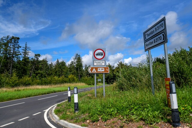
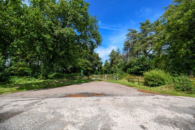
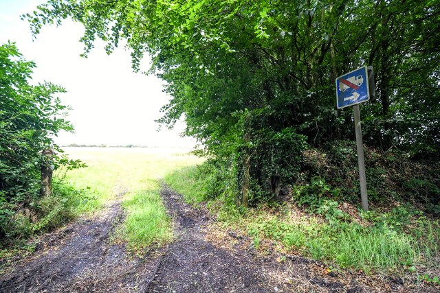
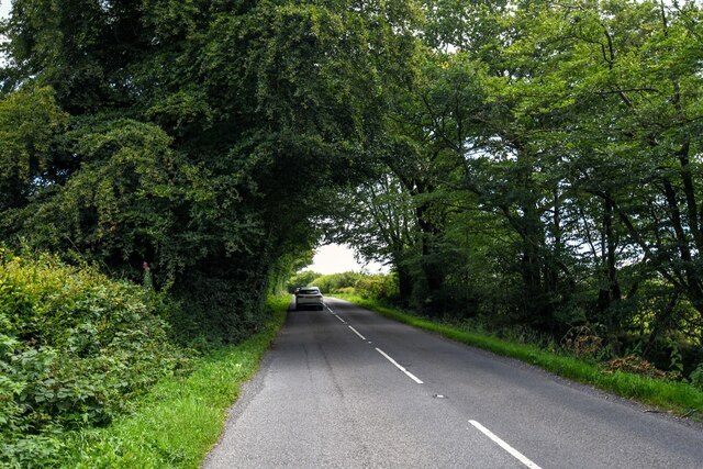
North Down Images

Images are sourced within 2km of 50.93392/-3.1020773 or Grid Reference ST2215. Thanks to Geograph Open Source API. All images are credited.

Path, Staple Hill Broadleaves have been retained along the edge of the conifer plantation.
Path, Staple Hill
Broadleaves have been retained along the edge of the conifer plantation.
Holman Clavel Inn
Holman Clavel Inn
Old Milepost by B3170, near Walland Farm and cross roads at North Down The Milepost is located on grassy bank on the East of the road.  Parish of Otterford (Taunton Deane District). Cast iron post, Taunton Allen iron casting design, erected by the Local Highways Board in the 19th Century, repainted by SCC in 2007 but already going rusty. An earlier photograph can be found here: <a title="https://www.geograph.org.uk/photo/6051358" href="https://www.geograph.org.uk/photo/6051358">Link</a> 

Inscription reads:-  HONITON / 11 3/8 / : : TAUNTON / 7  

Grade II listed. List Entry Number: 1060231 <span class="nowrap"><a title="https://historicengland.org.uk/listing/the-list/list-entry/1060231" rel="nofollow ugc noopener" href="https://historicengland.org.uk/listing/the-list/list-entry/1060231">Link</a><img style="margin-left:2px;" alt="External link" title="External link - shift click to open in new window" src="https://s1.geograph.org.uk/img/external.png" width="10" height="10"/></span> 

Milestone Society National ID: SO_TAHO07
Old Milepost by B3170, near Walland Farm and cross roads at North Down
The Milepost is located on grassy bank on the East of the road.  Parish of Otterford (Taunton Deane District). Cast iron post, Taunton Allen iron casting design, erected by the Local Highways Board in the 19th Century, repainted by SCC in 2007 but already going rusty. An earlier photograph can be found here: Link  Inscription reads:- HONITON / 11 3/8 / : : TAUNTON / 7 Grade II listed. List Entry Number: 1060231 LinkExternal link Milestone Society National ID: SO_TAHO07
Pitminster : Track A track to Culmhead House of Blackdown Hill.
Pitminster : Track
A track to Culmhead House of Blackdown Hill.
Otterford : Widcombe - Holman Clavel A road heading through Widcombe.
Otterford : Widcombe - Holman Clavel
A road heading through Widcombe.
Otterford : Widcombe - Holman Clavel Looking along the road.
Otterford : Widcombe - Holman Clavel
Looking along the road.
Otterford : Roadside Looking alongside Neroche Road.
Otterford : Roadside
Looking alongside Neroche Road.
Otterford : B3170 Looking along the B3170.
Otterford : B3170
Looking along the B3170.
Otterford : B3170 Looking along the B3170.
Otterford : B3170
Looking along the B3170.
Otterford : North Down A track leading to North Down Plantation.
Otterford : North Down
A track leading to North Down Plantation.
Staple Fitzpaine : Track A track into the grassy field off Neroche Road.
Staple Fitzpaine : Track
A track into the grassy field off Neroche Road.
Staple Fitzpaine : Neroche Road Looking along Neroche Road.
Staple Fitzpaine : Neroche Road
Looking along Neroche Road.
Staple Fitzpaine : Neroche Road Looking along Neroche Road.
Staple Fitzpaine : Neroche Road
Looking along Neroche Road.
Buckland St Mary : Farm Green Lane Looking along Farm Green Lane.
Buckland St Mary : Farm Green Lane
Looking along Farm Green Lane.
Buckland St Mary : Stream A small stream which feeds the River Yarty.
Buckland St Mary : Stream
A small stream which feeds the River Yarty.
Buckland St Mary : Farm Green Lane Looking along Farm Green Lane.
Buckland St Mary : Farm Green Lane
Looking along Farm Green Lane.
Buckland St Mary : Track A track to Owlhayes Farm.
Buckland St Mary : Track
A track to Owlhayes Farm.
Buckland St Mary : Buckland Farm Log Cabins Log cabins on the Blackdown Hills.
Buckland St Mary : Buckland Farm Log Cabins
Log cabins on the Blackdown Hills.
Show me another place!

North Down is located at Grid Ref: ST2215 (Lat: 50.93392, Lng: -3.1020773)

Administrative County: Somerset

District: Somerset West and Taunton

Police Authority: Avon and Somerset

What 3 Words

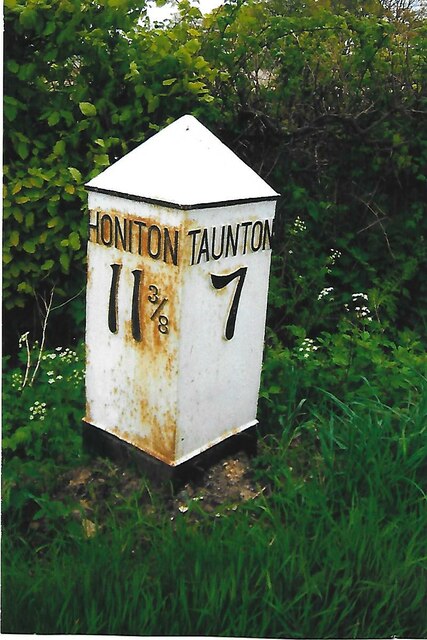
///reshaping.shine.able. Near Taunton, Somerset

Nearby Locations

North Down

Related Wikis

Deadman SSSI, Somerset

Deadman (grid reference ST234156) is a 28.8 hectare (71.2 acre) biological Site of Special Scientific Interest on the edge of the Blackdown Hills, near...

Otterford

Otterford is a village and civil parish in Somerset, England. It is situated on the Blackdown Hills, 7 miles (11.3 km) south of Taunton. The village has...

Church of St Leonard, Otterford

The Anglican Church of St Leonard in Otterford, Somerset, England was built in the 14th century. It is a Grade II* listed building. == History == The church...

Prior's Park & Adcombe Wood

Prior's Park & Adcombe Wood (grid reference ST225170) is a 103.6 hectare (256.0 acre) biological Site of Special Scientific Interest south of Pitminster...

Otterhead Lakes

Otterhead Lakes are a pair of reservoirs in the Blackdown Hills Area of Outstanding Natural Beauty south of Otterford in Somerset, England. They are fed...

Staple Hill (Somerset)

Staple Hill is a hill in the English county of Somerset, the highest point in the Blackdown Hills. It is classed as both a Marilyn and a Hardy.This is...

RAF Culmhead

Royal Air Force Culmhead or more simply RAF Culmhead is a former Royal Air Force station, situated at Churchstanton on the Blackdown Hills in Somerset...

Ruttersleigh

Ruttersleigh (grid reference ST250165) is a 97 hectares (240 acres) biological Site of Special Scientific Interest between Buckland St Mary and Staple...

Nearby Amenities

Located within 500m of 50.93392,-3.1020773
Give Way
Lat/Long: 50.9299692/-3.1014569
Give Way
Lat/Long: 50.9313403/-3.1010823
Give Way
Lat/Long: 50.931341/-3.1011693
The data included in this document is from www.openstreetmap.org. The data is made available under ODbL.

Have you been to North Down?

Leave your review of North Down below (or comments, questions and feedback).