Blackcleuchedge Moss

Downs, Moorland in Dumfriesshire

Scotland

Blackcleuchedge Moss

Road (B7068) descending from Standburn Looking south-westward.
Road (B7068) descending from Standburn Credit: Peter Wood

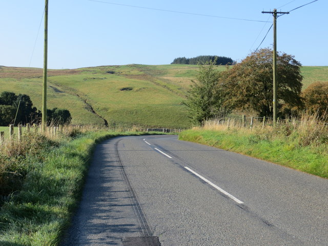
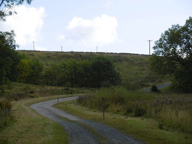
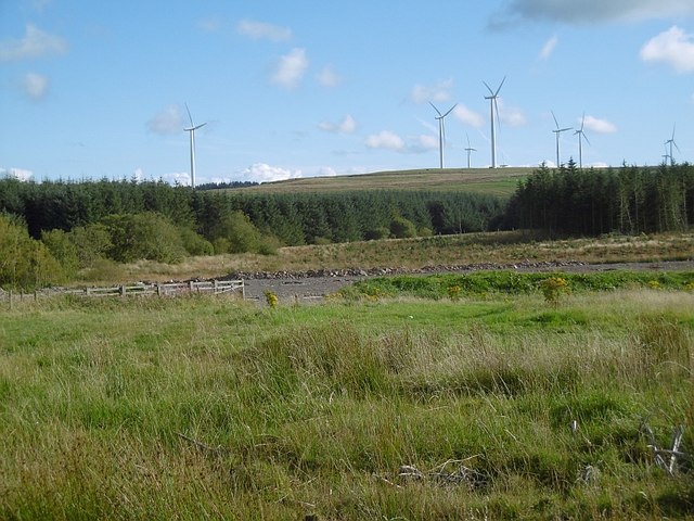
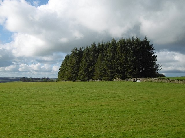
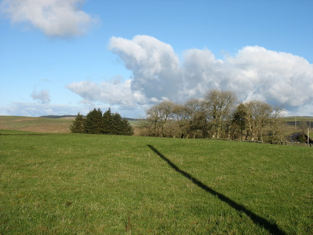
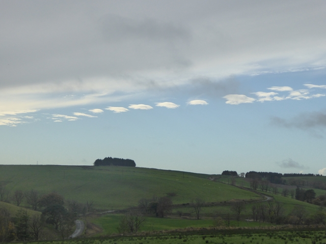
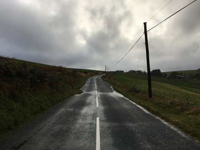
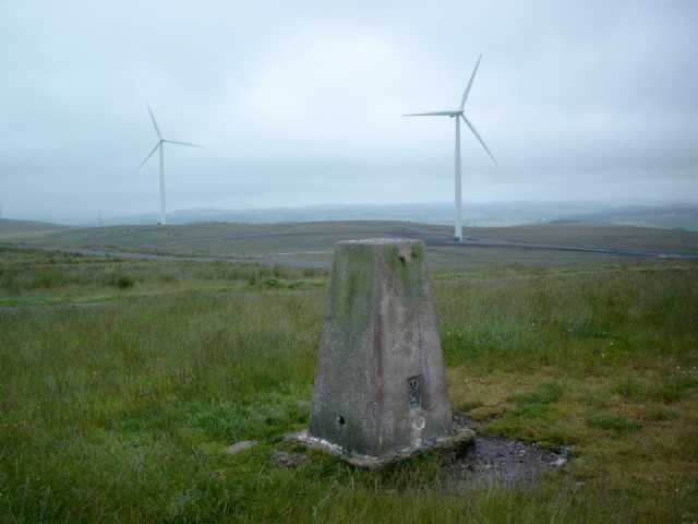
Blackcleuchedge Moss is a remarkable expanse of moorland located in Dumfriesshire, Scotland. Covering an area of approximately 2,000 acres, it is situated in the southern uplands of the country, near the town of Moffat. The moss is characterized by its undulating terrain, featuring gentle slopes and occasional rocky outcrops.

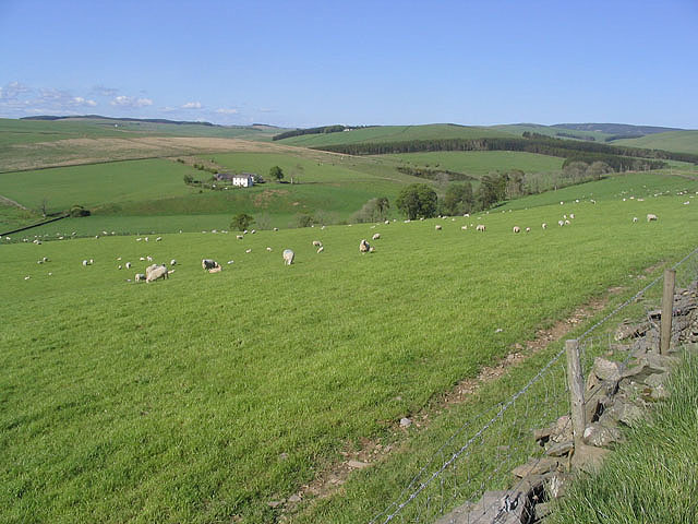
The vegetation in Blackcleuchedge Moss primarily consists of heather, bracken, and grasses, creating a picturesque landscape that changes color throughout the seasons. The moss is home to a diverse range of wildlife, including various species of birds, such as curlews, lapwings, and meadow pipits. Small mammals like hares and rabbits can also be spotted in the area.

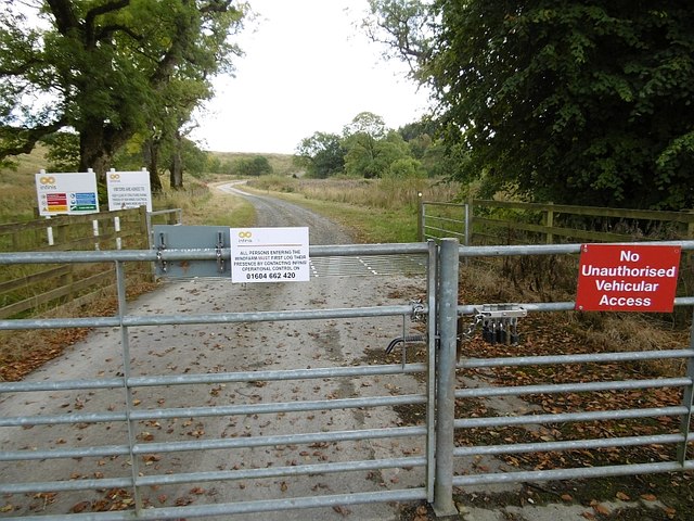
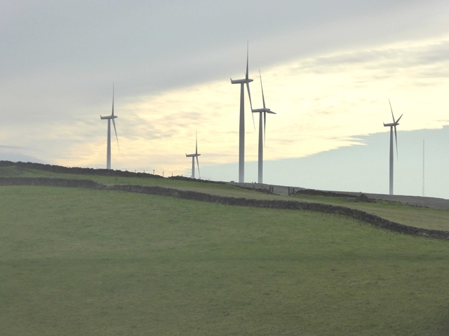
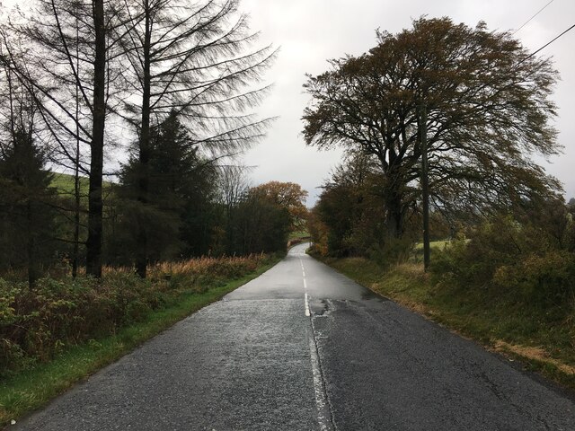
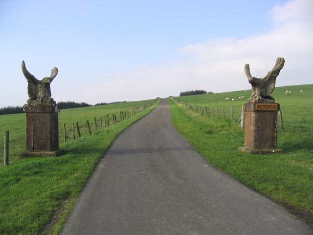
Access to Blackcleuchedge Moss is relatively easy, with several walking trails and paths, allowing visitors to explore and appreciate the natural beauty of the moorland. The moss offers breathtaking panoramic views of the surrounding countryside, including the Moffat Hills and the Southern Uplands.

Blackcleuchedge Moss also holds historical significance. The remains of ancient settlements, including stone circles and burial cairns, can be found in the area, providing insights into the region's past. These remnants serve as a reminder of the long-standing human presence in Dumfriesshire.

Overall, Blackcleuchedge Moss offers a serene and tranquil environment for nature enthusiasts and those seeking a peaceful escape. Its unique landscape, rich biodiversity, and historical elements combine to make it a captivating destination for visitors from near and far.

If you have any feedback on the listing, please let us know in the comments section below.

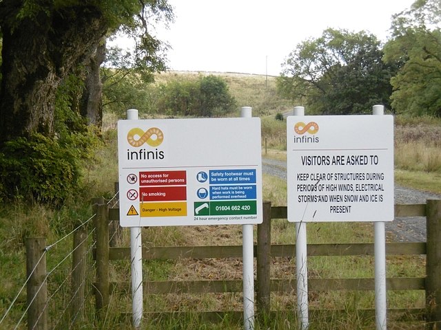
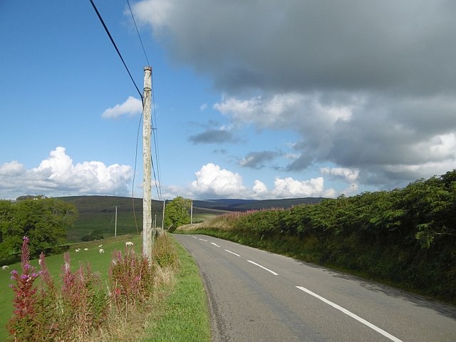
Blackcleuchedge Moss Images

Images are sourced within 2km of 55.118253/-3.2226328 or Grid Reference NY2281. Thanks to Geograph Open Source API. All images are credited.

Road (B7068) descending from Standburn Looking south-westward.
Road (B7068) descending from Standburn
Looking south-westward.
Minsca wind farm entrance A different set of notices from previous photographs suggesting that SSE no longer have an interest here.  One of them seems to have sneaked in to Scotland from somewhere less developed as it attempts to forbid access. Other signage is however compliant with the Law.

As usual, the road uses a new route onto the public road, bypassing a farm.
Minsca wind farm entrance
A different set of notices from previous photographs suggesting that SSE no longer have an interest here. One of them seems to have sneaked in to Scotland from somewhere less developed as it attempts to forbid access. Other signage is however compliant with the Law. As usual, the road uses a new route onto the public road, bypassing a farm.
Locks, Minsca wind farm An "OR gate".  Opening any one of the locks will open the gate. Every interest on the hill has its own lock.
Locks, Minsca wind farm
An "OR gate". Opening any one of the locks will open the gate. Every interest on the hill has its own lock.
Minsca wind farm road There was a road up the hill before the wind farm was built and a new entrance section was built linking it with the road bypassing Linnhall.
Minsca wind farm road
There was a road up the hill before the wind farm was built and a new entrance section was built linking it with the road bypassing Linnhall.
Minsca wind farm notices One seems to have strayed in from east of the border - attempting to forbid access (and smoking!). Other photographs show the site being managed by SSE, now it is Infinis.  Hi Infinis, welcome to Scotland.
Minsca wind farm notices
One seems to have strayed in from east of the border - attempting to forbid access (and smoking!). Other photographs show the site being managed by SSE, now it is Infinis. Hi Infinis, welcome to Scotland.
Gardiner's Brae The B7068 between Lockerbie and Langholm.
Gardiner's Brae
The B7068 between Lockerbie and Langholm.
Standburn View towards Minsca wind farm.
Standburn
View towards Minsca wind farm.
Whitstone Hill The butt of a strip wood.
Whitstone Hill
The butt of a strip wood.
Minsca wind farm On Risp Hill, 36.8 MW at the moment but as usual it's due to expand.   Opened in 2008.
Minsca wind farm
On Risp Hill, 36.8 MW at the moment but as usual it's due to expand. Opened in 2008.
Farmland at Standburn
Minsca Wind Farm Five of the sixteen turbines of the Minsca Wind Farm which has been operating since 2008. It stands very near the site of the crash of the bombed Panam airliner in 1988.
Minsca Wind Farm
Five of the sixteen turbines of the Minsca Wind Farm which has been operating since 2008. It stands very near the site of the crash of the bombed Panam airliner in 1988.
Strange cloud formations over Minsca Seen from Paddockhole.
Strange cloud formations over Minsca
Seen from Paddockhole.
B7068 near Wykehole
B7068 near Wykehole
B7068 near Bankshill
Eagles guard the approach road to Minsca Farm
Grazing field Viewed from the B7068 with the buildings at Whiteknowe in the background centre left.
Grazing field
Viewed from the B7068 with the buildings at Whiteknowe in the background centre left.
Minsca Hill Wind Farm Entrance New entrance and road at Back Burn Bridge on the B7068 leads up to the Minsca Hill wind farm (16 turbines).
Minsca Hill Wind Farm Entrance
New entrance and road at Back Burn Bridge on the B7068 leads up to the Minsca Hill wind farm (16 turbines).
Risp Hill Trig Pillar S9847 Surrounded by recently built windfarm. Flush bracket S9847 faces 79° easterly. Excellent long views all round.
Risp Hill Trig Pillar S9847
Surrounded by recently built windfarm. Flush bracket S9847 faces 79° easterly. Excellent long views all round.
Show me another place!

Blackcleuchedge Moss is located at Grid Ref: NY2281 (Lat: 55.118253, Lng: -3.2226328)

Unitary Authority: Dumfries and Galloway

Police Authority: Dumfries and Galloway

What 3 Words

///reinvest.origin.holdings. Near Lockerbie, Dumfries & Galloway

Nearby Locations

Blackcleuchedge Moss

Related Wikis

Burnswark Hill

Burnswark Hill (also known as Birrenswark), to the east of the A74(M) between Ecclefechan and Lockerbie in Dumfries and Galloway, Scotland, is a prominent...

Scotsbrig

Scotsbrig is a farm near Ecclefechan, Dumfries and Galloway, Scotland, and a Category B listed building. Thomas Carlyle lived there with his family in...

Annandale and Eskdale

Annandale and Eskdale is a committee area in Dumfries and Galloway, Scotland. It covers the areas of Annandale and Eskdale, the straths of the River Annan...

Dogslacks

Dogslacks is a farmstead in the Parish of Middlebie, in the Stewartry of Kirkcudbright in Scotland. == References == Dogslacks at the National Archives...

Middlebie

Middlebie is a hamlet and parish in the historic county of Dumfriesshire in Dumfries and Galloway, south-west Scotland. It is approximately 2 miles (3...

Blatobulgium

Blatobulgium was a Roman fort, located at the modern-day site known as Birrens, in Dumfriesshire, Scotland. == Name == Blatobulgium is recorded in the...

Broadlea henge

Broadlea henge (grid reference NY 21946 74651) is a Neolithic or Bronze Age monument in the parish of Middlebie, Dumfries and Galloway. It is one of very...

Eaglesfield, Dumfries and Galloway

Eaglesfield is a village in south east Dumfriesshire in the local authority area of Dumfries and Galloway, Scotland. == History == Eaglesfield is of ancient...

Nearby Amenities

Located within 500m of 55.118253,-3.2226328
Minsca Farm
Generator Method: wind_turbine
Generator Source: wind
Generator Type: horizontal_axis
Power: generator
Lat/Long: 55.1204346/-3.2283554
Minsca Farm
Generator Method: wind_turbine
Generator Source: wind
Generator Type: horizontal_axis
Power: generator
Lat/Long: 55.1219256/-3.2234145
Minsca Farm
Generator Method: wind_turbine
Generator Source: wind
Generator Type: horizontal_axis
Power: generator
Lat/Long: 55.1184835/-3.2247559
Minsca Farm
Generator Method: wind_turbine
Generator Source: wind
Generator Type: horizontal_axis
Power: generator
Lat/Long: 55.1155416/-3.2246269
Power: pole
Lat/Long: 55.11939/-3.2155522
Power: pole
Lat/Long: 55.1186799/-3.2152662
Power: pole
Lat/Long: 55.1181113/-3.2150292
The data included in this document is from www.openstreetmap.org. The data is made available under ODbL.

Have you been to Blackcleuchedge Moss?

Leave your review of Blackcleuchedge Moss below (or comments, questions and feedback).