Laperach Moss
Downs, Moorland in Banffshire
Scotland
Laperach Moss
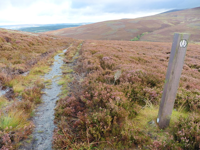
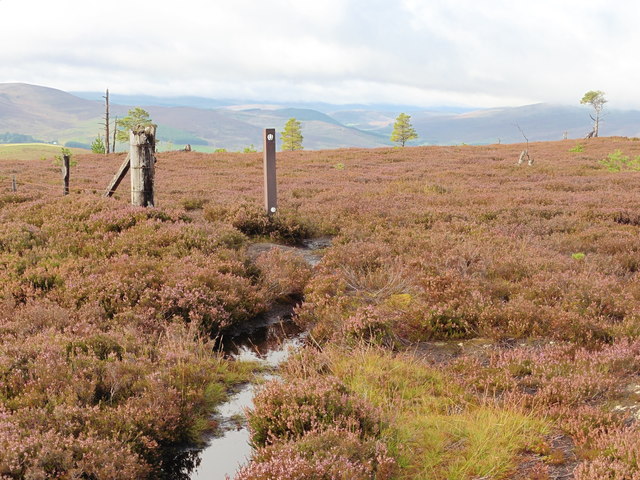
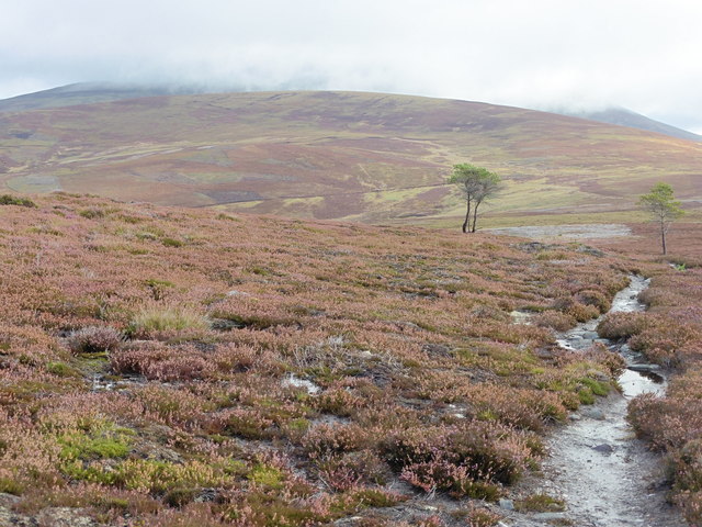
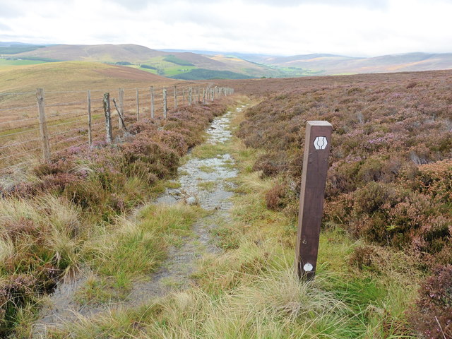
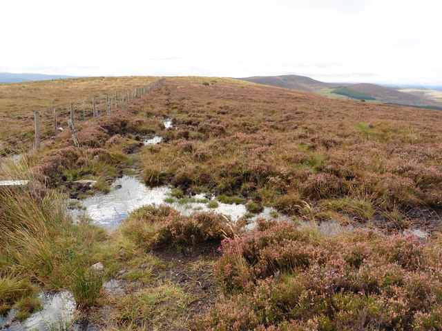
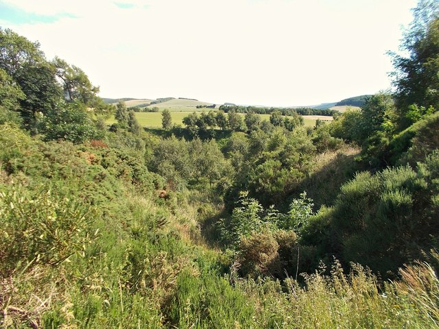
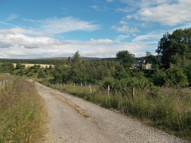
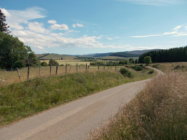
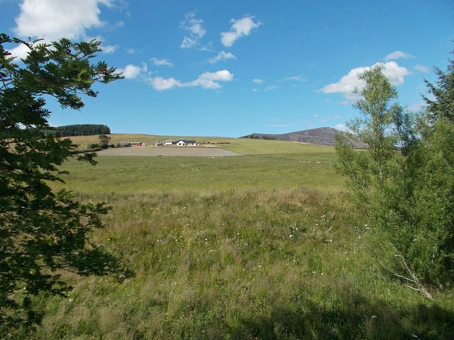
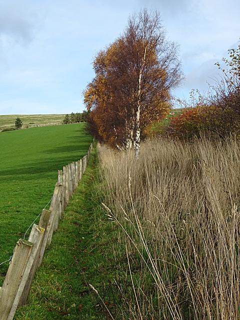
Laperach Moss is a stunning expanse of moorland located in Banffshire, Scotland. Spread out over a vast area, this area of natural beauty is characterized by its unique ecosystem and breathtaking landscapes.
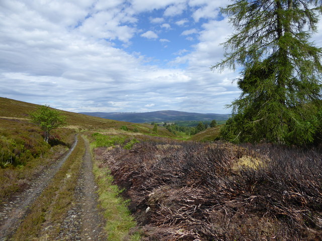
The moorland of Laperach Moss is predominantly covered in heather, creating a vibrant purple carpet during the summer months. This colorful display attracts a wide variety of wildlife, making it a haven for nature enthusiasts. Visitors can spot various bird species, including red grouse, lapwings, and curlews, soaring above the moorland. The moss is also home to several mammal species, such as mountain hares, Scottish wildcats, and roe deer, which can occasionally be seen grazing or darting between the heather.
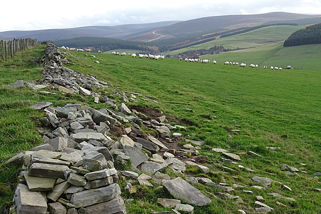
The terrain of Laperach Moss is undulating, with gentle slopes and rolling hills. Walking trails crisscross the area, providing opportunities for exploring the moss and enjoying its tranquility. During the spring and summer, the moorland bursts into a riot of colors as wildflowers, like bog cotton and orchids, bloom across the landscape.
Laperach Moss is not only a natural marvel but also an important carbon sink. The dense vegetation and peat bogs found here store large amounts of carbon dioxide, contributing to the fight against climate change.
Overall, Laperach Moss is a captivating destination for those seeking to immerse themselves in Scotland's wild and rugged beauty. Its diverse wildlife, picturesque views, and environmental significance make it a must-visit location for nature lovers and conservationists alike.
If you have any feedback on the listing, please let us know in the comments section below.
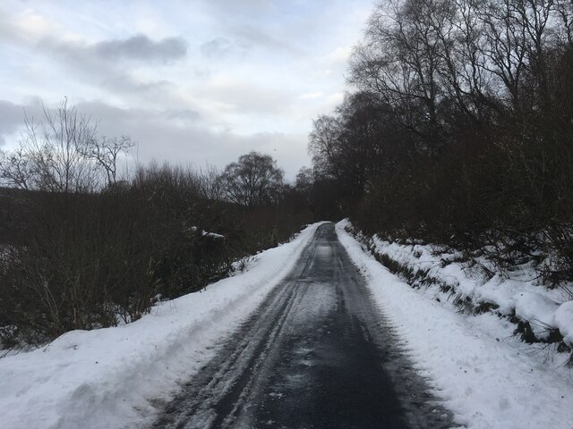
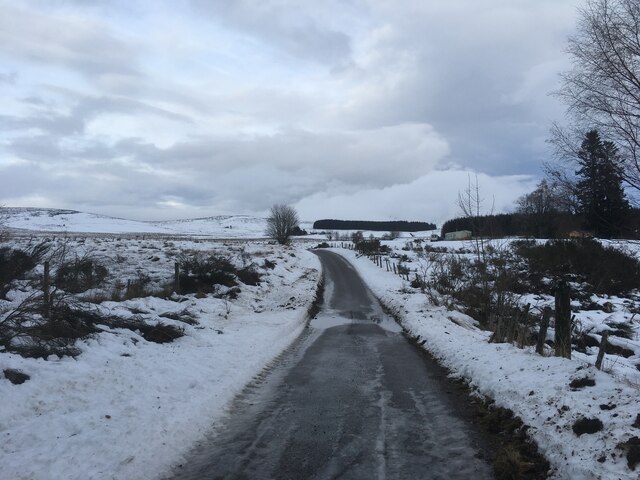
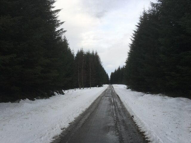
Laperach Moss Images
Images are sourced within 2km of 57.371528/-3.3110407 or Grid Reference NJ2131. Thanks to Geograph Open Source API. All images are credited.
Laperach Moss is located at Grid Ref: NJ2131 (Lat: 57.371528, Lng: -3.3110407)
Unitary Authority: Moray
Police Authority: North East
What 3 Words
///game.pacifist.longer. Near Charlestown of Aberlour, Moray
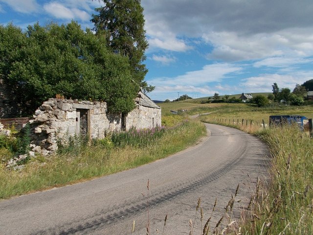
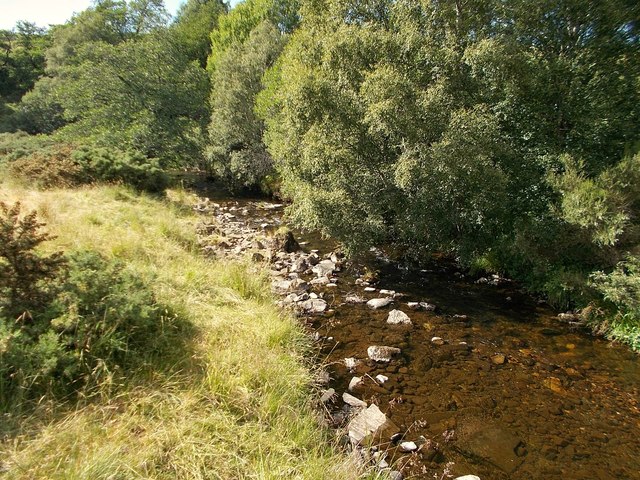
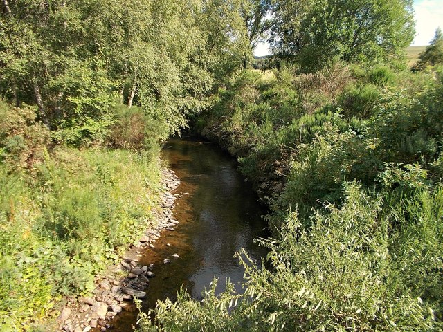
Nearby Locations
Related Wikis

Deskie Castle
Deskie Castle was a medieval tower house that is thought to have been near Bridgend of Livet, Moray, Scotland. == History == Little is known of the castle...

Glenlivet
Glenlivet (Scottish Gaelic: Gleann Lìobhait) is the glen in the Scottish Highlands through which the River Livet flows. The river rises high in the Ladder...

Drumin Castle
Drumin Castle is a ruined tower house near Glenlivet, Moray, Scotland. The castle is situated on a ridge above the junction of the Livet and Avon Rivers...
Auchbreck
Auchbreck (Scottish Gaelic: An t-Achadh Breac, meaning the speckled field) is a village in Moray, Scotland.
Have you been to Laperach Moss?
Leave your review of Laperach Moss below (or comments, questions and feedback).