North Moor
Downs, Moorland in Somerset Somerset West and Taunton
England
North Moor

North Moor is a vast expanse of moorland located in Somerset, England. It is situated on the northern edge of the Mendip Hills, encompassing an area of approximately 12 square miles. The moorland is characterized by its undulating landscape, covered in heather, gorse, and grasses, giving it a distinctive and picturesque appearance.
The region is renowned for its rich biodiversity and unique ecosystems. North Moor is home to a variety of plant species, including heather, bilberry, and cotton grass. Rare and protected wildlife species thrive in this habitat, with notable inhabitants including the endangered Great Crested Newt and various bird species such as the Stonechat and Dartford Warbler.
The moorland is crisscrossed by a network of footpaths and bridleways, allowing visitors to explore its beauty and enjoy the tranquility of the surroundings. These trails offer stunning views of the surrounding countryside, including the breathtaking Cheddar Gorge and the Somerset Levels.
North Moor also holds historical significance, with evidence of human activity dating back thousands of years. Archaeological finds, such as burial mounds and trackways, highlight the area's past. Additionally, the moorland was utilized for peat extraction in the past.
Overall, North Moor is a captivating and ecologically important area in Somerset. Its natural beauty, diverse flora and fauna, and historical significance make it a fascinating destination for both nature enthusiasts and those interested in the region's history.
If you have any feedback on the listing, please let us know in the comments section below.
North Moor Images
Images are sourced within 2km of 51.203109/-3.1286306 or Grid Reference ST2145. Thanks to Geograph Open Source API. All images are credited.


North Moor is located at Grid Ref: ST2145 (Lat: 51.203109, Lng: -3.1286306)
Administrative County: Somerset
District: Somerset West and Taunton
Police Authority: Avon and Somerset
What 3 Words
///signified.same.agreeable. Near Nether Stowey, Somerset
Nearby Locations
Related Wikis

Hinkley Point
Hinkley Point is a headland on the Bristol Channel coast of Somerset, England, 5 miles (8 kilometres) north of Bridgwater and 5 mi (8 km) west of Burnham...
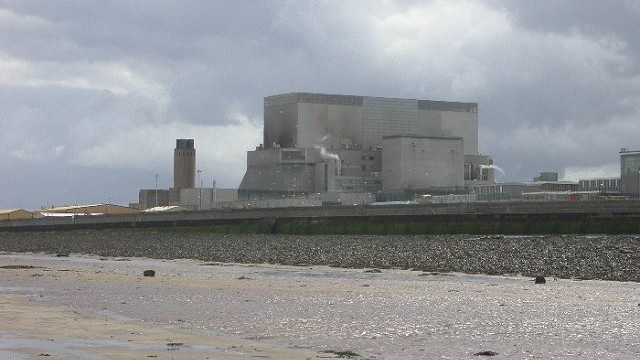
Hinkley Point B nuclear power station
Hinkley Point B nuclear power station was a nuclear power station near Bridgwater, Somerset, on the Bristol Channel coast of south west England. It was...

Hinkley Point A nuclear power station
Hinkley Point A nuclear power station is a former Magnox nuclear power station. It is located on a 19.4-hectare (48-acre) site in Somerset on the Bristol...
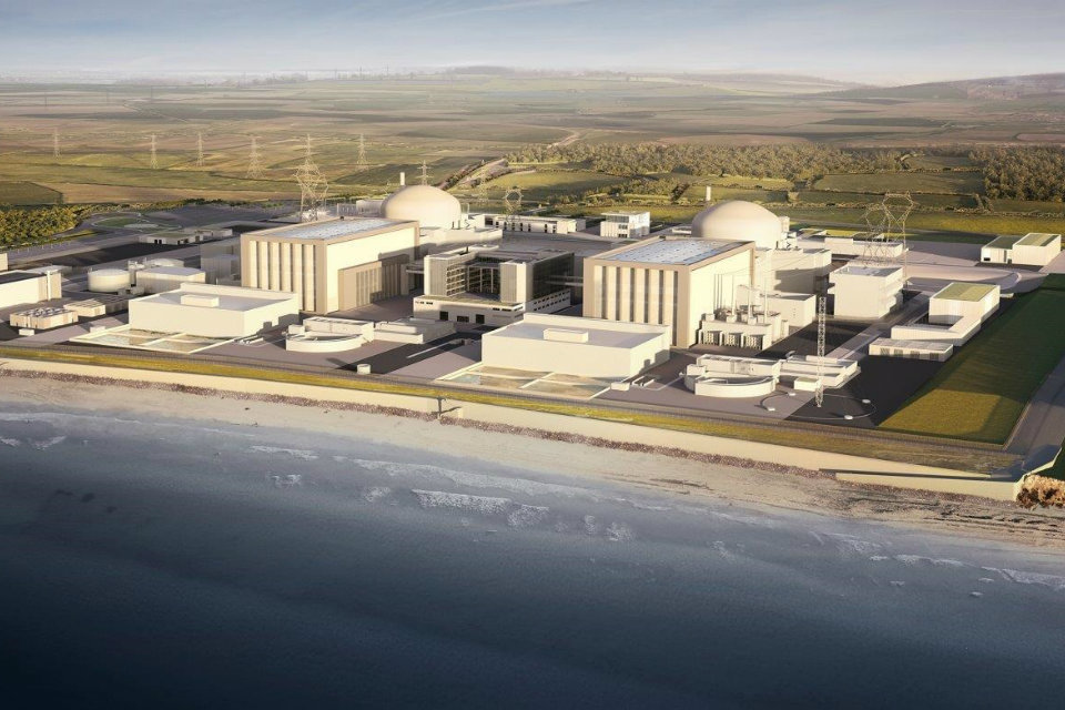
Hinkley Point C nuclear power station
Hinkley Point C nuclear power station (HPC) is a two-unit, 3,200 MWe EPR nuclear power station under construction in Somerset, England. The site was one...
Nearby Amenities
Located within 500m of 51.203109,-3.1286306Have you been to North Moor?
Leave your review of North Moor below (or comments, questions and feedback).