Halfpenny Green

Settlement in Staffordshire / Shropshire South Staffordshire

England

Halfpenny Green

Staffordshire Way View The view of Crab Lane near Highgate Common Country Park.
Staffordshire Way View Credit: Gordon Griffiths

Halfpenny Green is a small village located on the border of Staffordshire and Shropshire in England. Situated in a rural setting, the village is known for its picturesque landscapes and charming countryside.

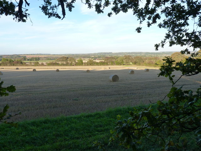
The village is surrounded by rolling hills, green pastures, and dense forests, making it an ideal destination for nature enthusiasts and outdoor activities. It is also home to Halfpenny Green Vineyards, a renowned winery producing a variety of wines, including red, white, and rosé. The vineyard offers tours and tastings, giving visitors the opportunity to learn about the wine-making process and sample the local produce.

Aside from its natural beauty, Halfpenny Green also has a rich history. The village is believed to have been inhabited since Roman times, with evidence of Roman settlements and artifacts discovered in the area. In more recent history, Halfpenny Green played a significant role during the Industrial Revolution, with the construction of canals and railways connecting the village to other parts of the region.

Today, Halfpenny Green is a peaceful and tranquil village, attracting visitors looking for a quiet getaway or a chance to explore the countryside. The village offers a range of amenities, including a village hall, a pub, and a small number of shops. Its location near the border of Staffordshire and Shropshire also makes it a convenient base for exploring nearby attractions such as the historic town of Bridgnorth and the Ironbridge Gorge World Heritage Site.

If you have any feedback on the listing, please let us know in the comments section below.

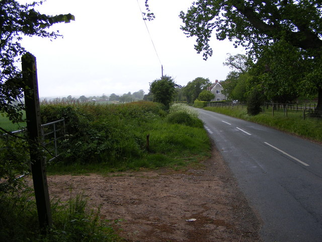
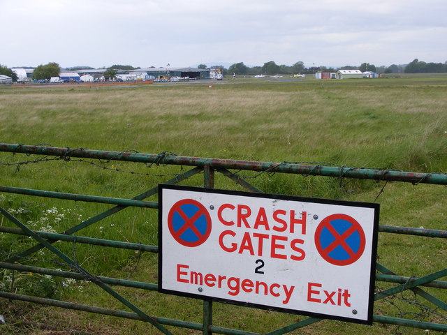
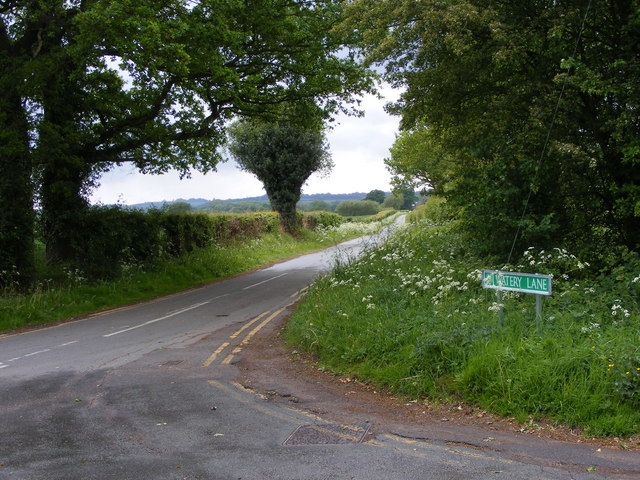
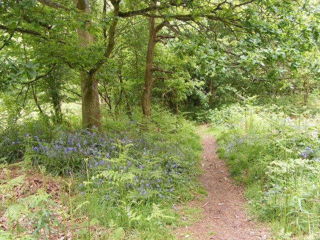
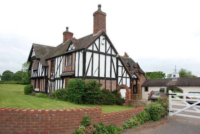
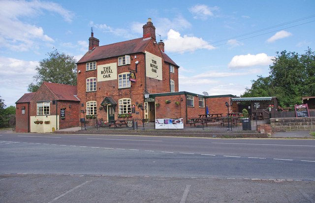
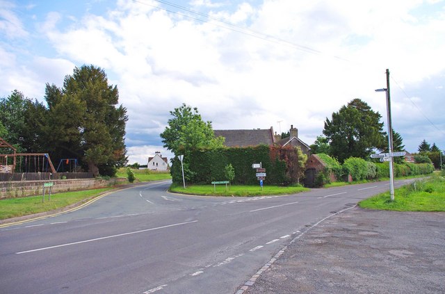
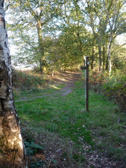
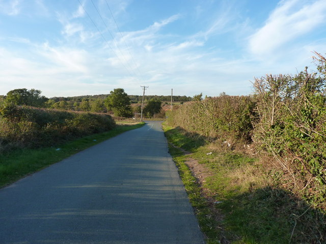
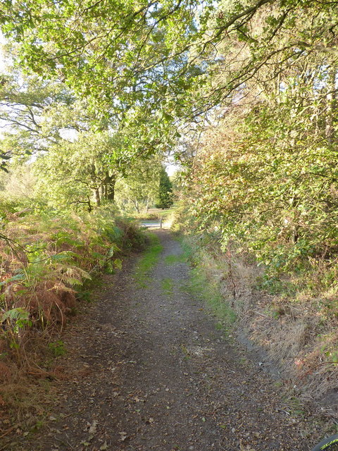
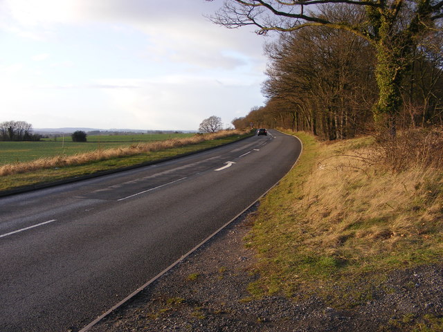
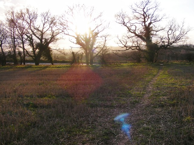
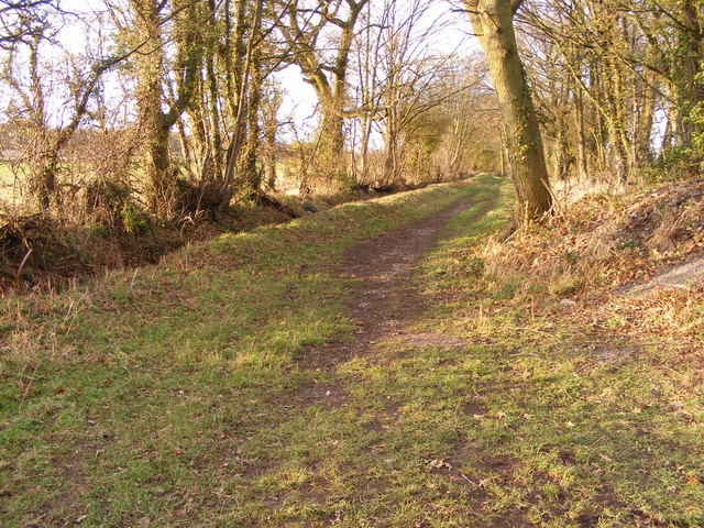
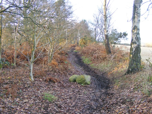
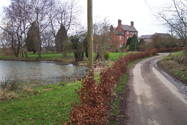
Halfpenny Green Images

Images are sourced within 2km of 52.523584/-2.259079 or Grid Reference SO8291. Thanks to Geograph Open Source API. All images are credited.

Staffordshire Way View The view of Crab Lane near Highgate Common Country Park.
Staffordshire Way View
The view of Crab Lane near Highgate Common Country Park.
Crop Path The field footpath near Bobbington.
Crop Path
The field footpath near Bobbington.
Football Sheep The football pitch on Crab Mill Farm near Bobbington's Halfpenny Green Airport.
Football Sheep
The football pitch on Crab Mill Farm near Bobbington's Halfpenny Green Airport.
Crab Lane The view from near Bobbington's Halfpenny Green Airport towards Highgate Common.
Crab Lane
The view from near Bobbington's Halfpenny Green Airport towards Highgate Common.
Crash Gate View The view from Water Lane of Bobbington's Halfpenny Green Airport.
Crash Gate View
The view from Water Lane of Bobbington's Halfpenny Green Airport.
Watery Lane The view alongside Bobbington's Halfpenny Green Airport, the name is changed from the OS maps and the local street atlas (Water Lane).
Watery Lane
The view alongside Bobbington's Halfpenny Green Airport, the name is changed from the OS maps and the local street atlas (Water Lane).
Highgate Bluebells The view in Forest Covert part of Highgate Common Country Park.
Highgate Bluebells
The view in Forest Covert part of Highgate Common Country Park.
Devon Cottage, Close To Halfpenny Green Airport.
The Royal Oak, Six Ashes Road, Halfpenny Green Halfpenny Green is a hamlet of about twelve or so residences, and the Royal Oak pub. The pub displays the traditional Banks's sign outside, with the golden lion.
The Royal Oak, Six Ashes Road, Halfpenny Green
Halfpenny Green is a hamlet of about twelve or so residences, and the Royal Oak pub. The pub displays the traditional Banks's sign outside, with the golden lion.
Junction of Six Ashes Road and Gospel Ash Road, Halfpenny Green Six Ashes Road is the one in the foreground. The junction is very near the Royal Oak pub.
Junction of Six Ashes Road and Gospel Ash Road, Halfpenny Green
Six Ashes Road is the one in the foreground. The junction is very near the Royal Oak pub.
Track junction on Abbot's Castle Hill A junction of bridleway and permissive route on the crest of the hill.
Track junction on Abbot's Castle Hill
A junction of bridleway and permissive route on the crest of the hill.
Farmland and baled straw Open country to the east of the ridgetop bridleway along Abbot's Castle Hill
Farmland and baled straw
Open country to the east of the ridgetop bridleway along Abbot's Castle Hill
Road junction near the War Stone
The bridleway at New Lodge A late summer evening light on the changing trees beside the bridleway from New Lodge to Highgate.
The bridleway at New Lodge
A late summer evening light on the changing trees beside the bridleway from New Lodge to Highgate.
B4176 View The new year view from the Staffordshire Way.
B4176 View
The new year view from the Staffordshire Way.
Footpath View The new year view from the Trysull footpath towards the B4176.
Footpath View
The new year view from the Trysull footpath towards the B4176.
Tree Lined Path The new year view of the path towards Tinker's Hill.
Tree Lined Path
The new year view of the path towards Tinker's Hill.
Way View The new year view of the Staffordshire Way towards Abbots Castle Hill.
Way View
The new year view of the Staffordshire Way towards Abbots Castle Hill.
Show me another place!

Halfpenny Green is located at Grid Ref: SO8291 (Lat: 52.523584, Lng: -2.259079)

Administrative County: Staffordshire

District: South Staffordshire

Police Authority: Staffordshire

What 3 Words

///tingled.variously.salutes. Near Wombourn, Staffordshire

Nearby Locations

Gospel Ash Halfpenny Green

Related Wikis

Wolverhampton Airport

Wolverhampton Halfpenny Green Airport (ICAO: EGBO), formerly Halfpenny Green Airport and Wolverhampton Business Airport, locally Bobbington Airport, is...

Bobbington

Bobbington is a village and civil parish in the South Staffordshire district of Staffordshire, England, about 5 miles (8.0 km) west of Wombourne. According...

Highgate Common

Highgate Common is a Staffordshire Wildlife Trust reserve containing a mix of heathland and woodland. It is about 129 hectares or 320 acres in size. The...

Beobridge

Beobridge is a small, scattered hamlet in Shropshire, England. It is in the civil parish of Claverley. Its name probably comes from Old English beo, "bee...

Nearby Amenities

Located within 500m of 52.523584,-2.259079
Halfpenny Green
Created By: Potlatch 0.10f
Is In: Staffordshire
Place: village
Lat/Long: 52.523887/-2.2588077
Bus Stop
Royal Oak PH
Bus: yes
Naptan AtcoCode: 3800C605100
Naptan Bearing: SW
Naptan CommonName: Royal Oak PH
Naptan Indicator: Adj
Naptan Landmark: Royal Oak PH
Naptan Street: Tom Lane
Naptan Verified: no
Public Transport: platform
Source: naptan_import
Lat/Long: 52.5246649/-2.2601514
Bus Stop
Royal Oak PH
Bus: yes
Naptan AtcoCode: 3800C605101
Naptan Bearing: NE
Naptan CommonName: Royal Oak PH
Naptan Indicator: Opp
Naptan Landmark: Royal Oak PH
Naptan Street: Six Ashes Rd
Naptan Verified: no
Public Transport: platform
Source: naptan_import
Lat/Long: 52.5237093/-2.2613691
Shelter
Shelter Type: public_transport
Lat/Long: 52.5249604/-2.2606438
Telephone
Booth: K6
Covered: booth
Operator: BT
Phone: +44 1384 221267
Lat/Long: 52.5248102/-2.2607404
Aeroway: navigationaid
Navigationaid: papi
Lat/Long: 52.5192975/-2.2602654
The data included in this document is from www.openstreetmap.org. The data is made available under ODbL.

Have you been to Halfpenny Green?

Leave your review of Halfpenny Green below (or comments, questions and feedback).