Badryrie
Downs, Moorland in Caithness
Scotland
Badryrie

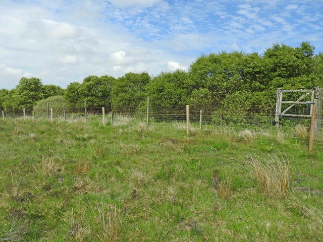
Badryrie is a captivating area located in Caithness, Scotland. Situated amidst stunning natural landscapes, it is known for its picturesque downs and moorland. The region is characterized by rolling hills, vast open spaces, and heather-covered moorlands, creating a breathtaking panorama that captivates visitors.
The downs of Badryrie are a sight to behold, with their gently sloping hills and lush greenery. They offer visitors a sense of tranquility and serenity that is hard to find elsewhere. The downs are home to a rich variety of flora and fauna, including wildflowers, grasses, and native wildlife such as deer and birds. Hiking and walking trails crisscross the downs, allowing outdoor enthusiasts to explore and immerse themselves in the natural beauty of the area.
Adjacent to the downs, the moorland of Badryrie presents a unique landscape. The moorland is covered in purple heather, creating a vibrant and captivating sight, especially during the blooming season. The moorland provides a habitat for various species of birds, including grouse, plovers, and curlews. It is also an important conservation area for rare plants and insects.
Badryrie offers a peaceful retreat for nature lovers, photographers, and those seeking a break from the hustle and bustle of city life. It provides the perfect setting for outdoor activities such as hiking, bird-watching, and nature photography. With its stunning downs and enchanting moorland, Badryrie is a destination that showcases the raw beauty of Caithness.
If you have any feedback on the listing, please let us know in the comments section below.
Badryrie Images
Images are sourced within 2km of 58.369654/-3.3594543 or Grid Reference ND2043. Thanks to Geograph Open Source API. All images are credited.


Badryrie is located at Grid Ref: ND2043 (Lat: 58.369654, Lng: -3.3594543)
Unitary Authority: Highland
Police Authority: Highlands and Islands
What 3 Words
///enjoys.testy.leafing. Near Dunbeath, Highland
Nearby Locations
Related Wikis

Achavanich
Achavanich ( ak-ə-VAN-ik; Scottish Gaelic: Achadh a’ Mhanaich) is an unusual megalithic horseshoe-shaped structure near Loch Stemster in Caithness, Scotland...

Rumster Forest transmitting station
The Rumster Forest transmitting station is a broadcasting and telecommunications facility near the town of Wick, in Caithness, Scotland (grid reference...
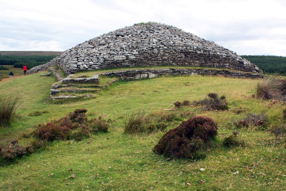
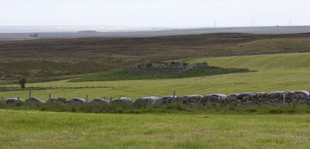
Grey Cairns of Camster
The Grey Cairns of Camster are two large Neolithic chambered cairns located about 8+1⁄2 miles (14 kilometres) south of Watten and 5 miles (8 km) north...

Upper Camster
Upper Camster is a small hamlet, which lies at the source of the Camster Burn, 4 miles north of Lybster, in Caithness, Scottish Highlands and is in the...
Nearby Amenities
Located within 500m of 58.369654,-3.3594543Have you been to Badryrie?
Leave your review of Badryrie below (or comments, questions and feedback).