Birker Fell
Downs, Moorland in Cumberland Copeland
England
Birker Fell

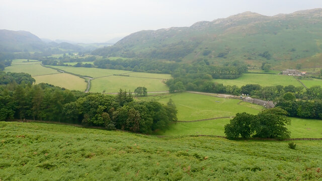
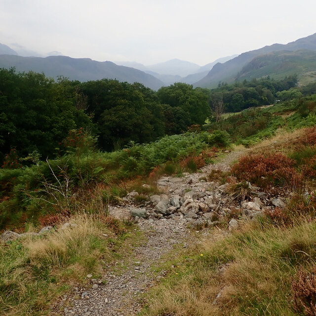
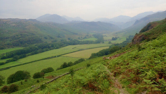
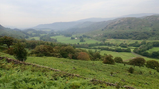
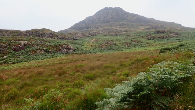
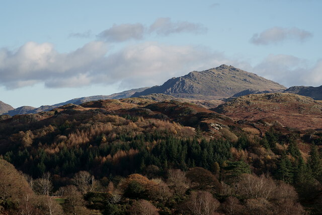
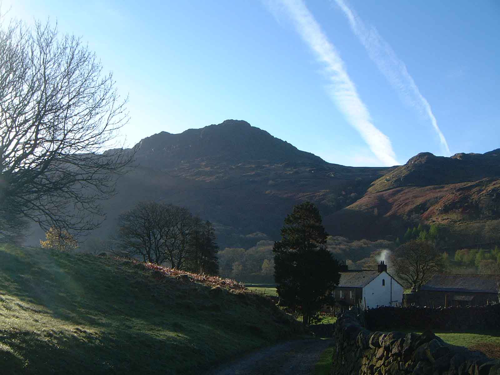
Birker Fell is a vast expanse of moorland located in the county of Cumberland, England. Situated in the Lake District National Park, it covers an area of approximately 7,500 acres and is renowned for its rugged beauty and unspoiled wilderness. The fell lies to the west of the Duddon Valley and is surrounded by majestic peaks, including Harter Fell and Scafell Pike, the highest mountain in England.
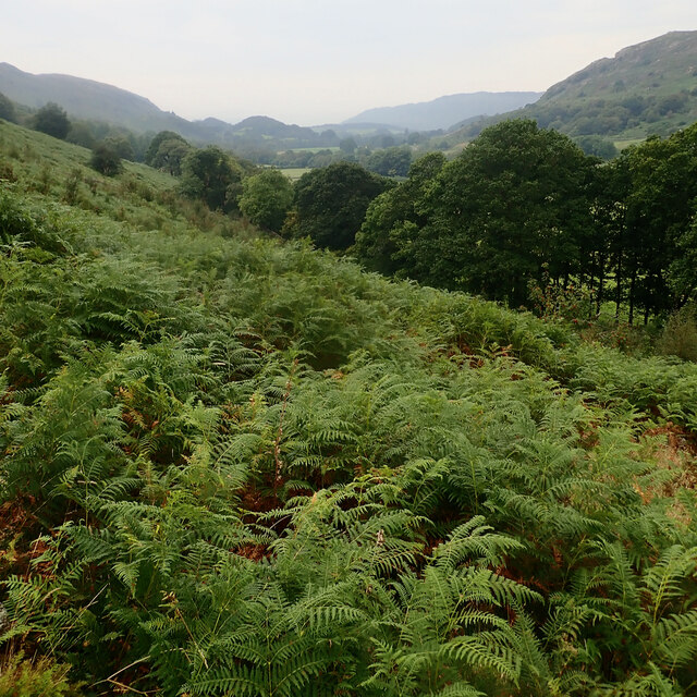
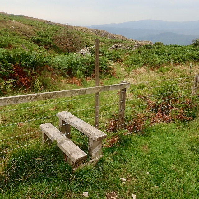
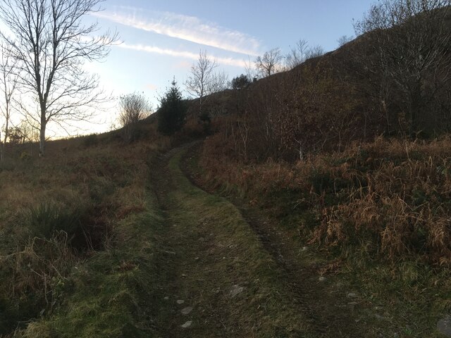
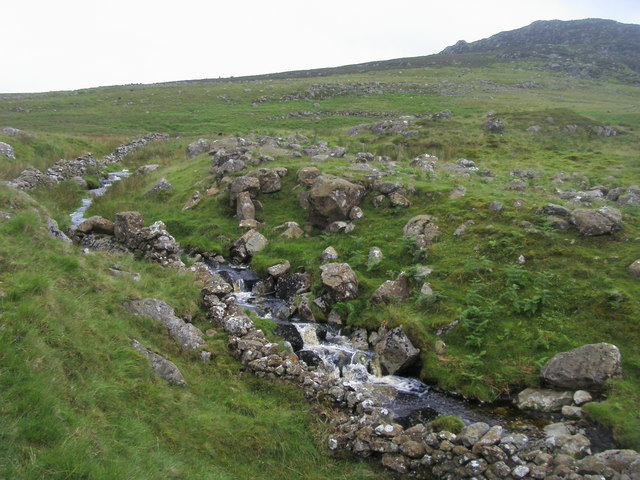
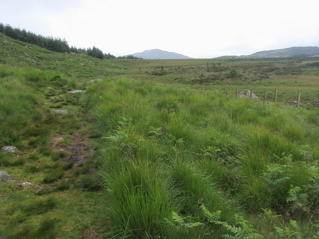
The landscape of Birker Fell is characterized by rolling hills, heather-covered moors, and scattered tarns, creating a picturesque and tranquil environment. The terrain is predominantly open, with few trees, allowing for sweeping panoramic views of the surrounding countryside. The fell is crisscrossed by a network of footpaths and trails, making it a popular destination for hikers, walkers, and nature enthusiasts.
The wildlife in Birker Fell is diverse and abundant. Visitors may spot birds of prey such as buzzards and kestrels soaring overhead, while sheep and Highland cattle graze in the fields. Rare species, including the ring ouzel and the black grouse, can also be found in the area.
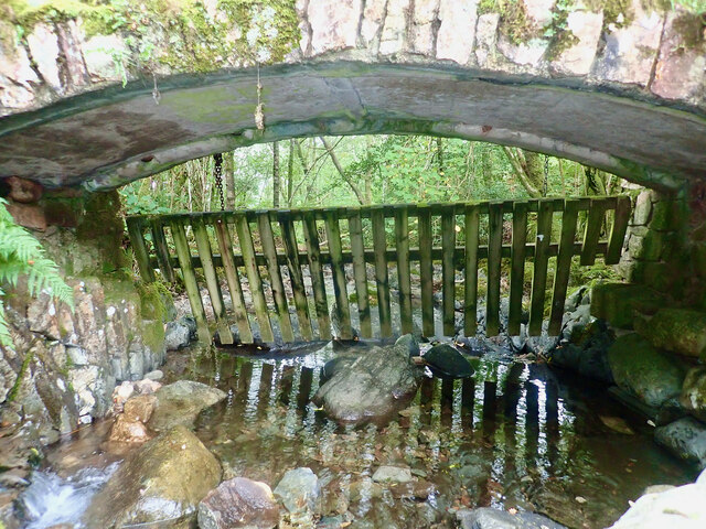
In addition to its natural beauty, Birker Fell has historical significance. Ruins of old mining buildings and stone walls can still be seen, serving as a reminder of the area's industrial past. The fell also holds cultural importance, featuring in numerous poems and writings by famous authors, including William Wordsworth and Alfred Wainwright.
Overall, Birker Fell offers a breathtaking and untamed landscape, inviting visitors to explore its rugged terrain and immerse themselves in its natural beauty.
If you have any feedback on the listing, please let us know in the comments section below.
Birker Fell Images
Images are sourced within 2km of 54.389944/-3.2248077 or Grid Reference NY2000. Thanks to Geograph Open Source API. All images are credited.


Birker Fell is located at Grid Ref: NY2000 (Lat: 54.389944, Lng: -3.2248077)
Administrative County: Cumbria
District: Copeland
Police Authority: Cumbria
What 3 Words
///stickler.mailbox.sweeten. Near Seascale, Cumbria
Nearby Locations
Related Wikis
Harter Fell (Eskdale)
Harter Fell is a fell in the western part of the English Lake District, located between the Eskdale and Duddon valleys. Its height is 653 metres (2,142...

Woolpack walk
The Woolpack Walk is a challenge walk which starts and finishes at the Woolpack Inn, Eskdale in the Lake District of England. The route covers 30 km (18...

Green Crag
Green Crag is a fell in the English Lake District. It stands between Eskdale and the Duddon valley in the Southern Fells. == Topography == The headwaters...

Hardknott Roman Fort
Hardknott Roman Fort is an archeological site, the remains of the Roman fort Mediobogdum, located on the western side of the Hardknott Pass in the English...
Nearby Amenities
Located within 500m of 54.389944,-3.2248077Have you been to Birker Fell?
Leave your review of Birker Fell below (or comments, questions and feedback).