Allt Lower

Downs, Moorland in Montgomeryshire

Wales

Allt Lower

Timbered House An attractive timbered house at Berriew.
Timbered House Credit: Alan Hughes

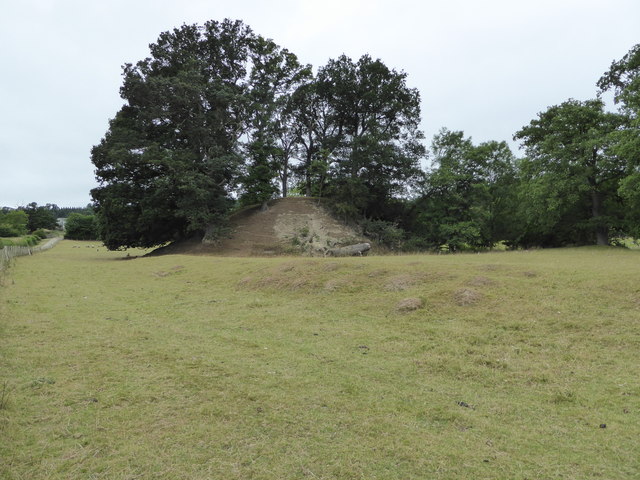
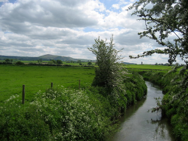
Allt Lower is a picturesque village nestled in the heart of Montgomeryshire, a historic county in Wales, United Kingdom. Situated amidst stunning downs and moorland landscapes, the village offers a tranquil and idyllic setting for residents and visitors alike.

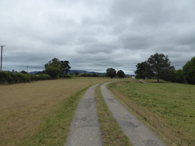
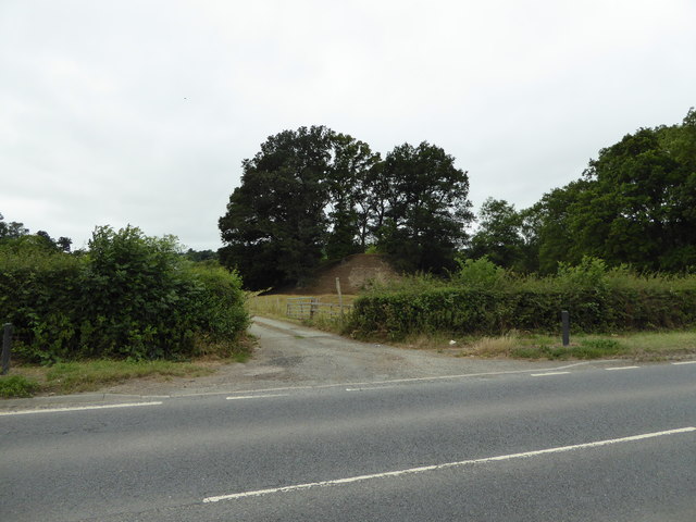
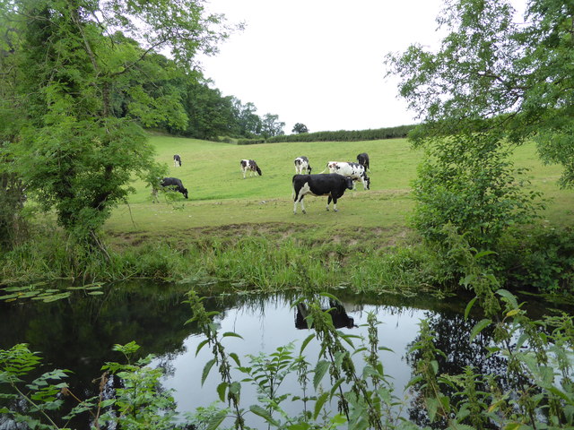
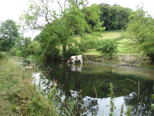
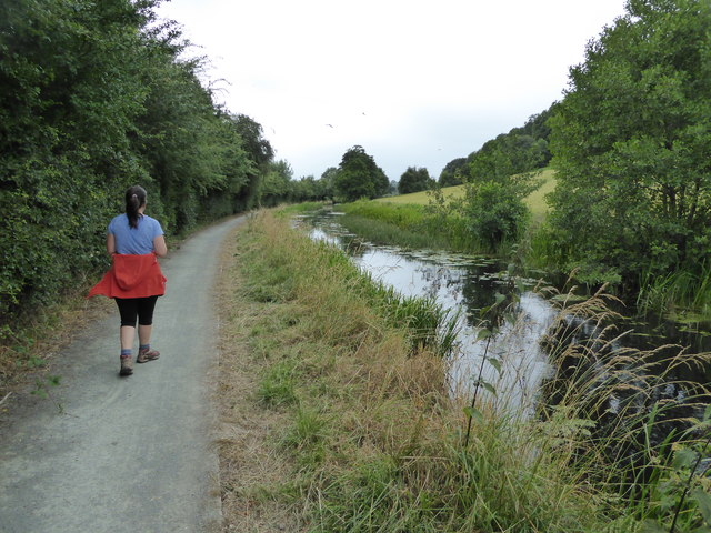
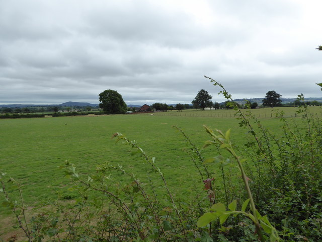
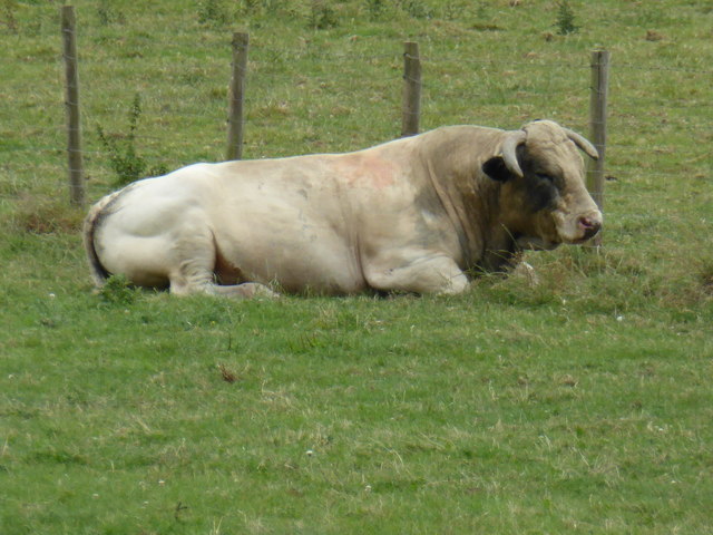
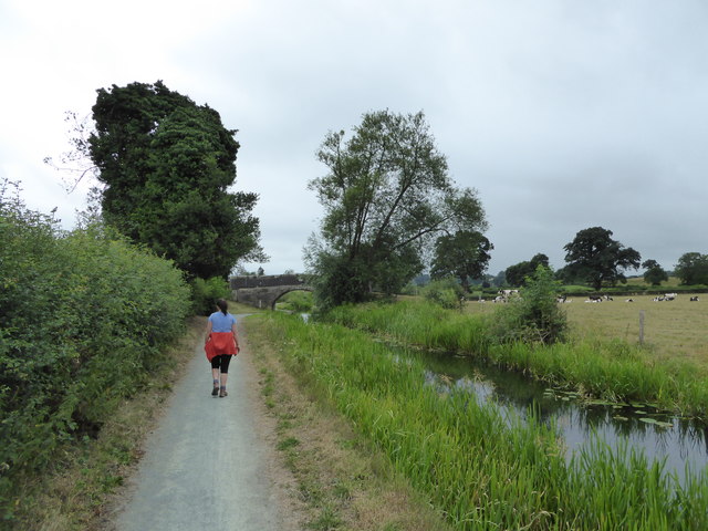
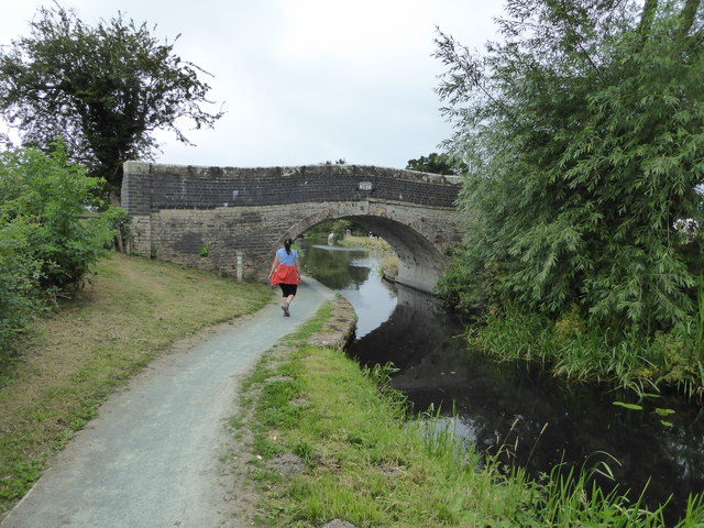
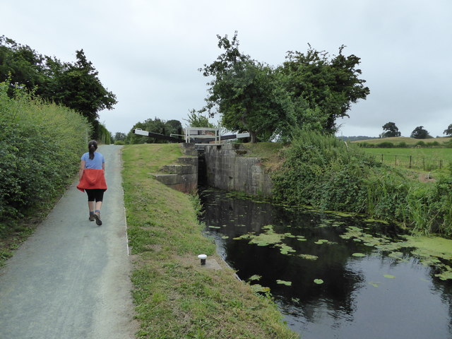
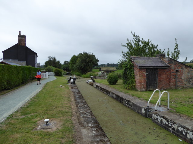
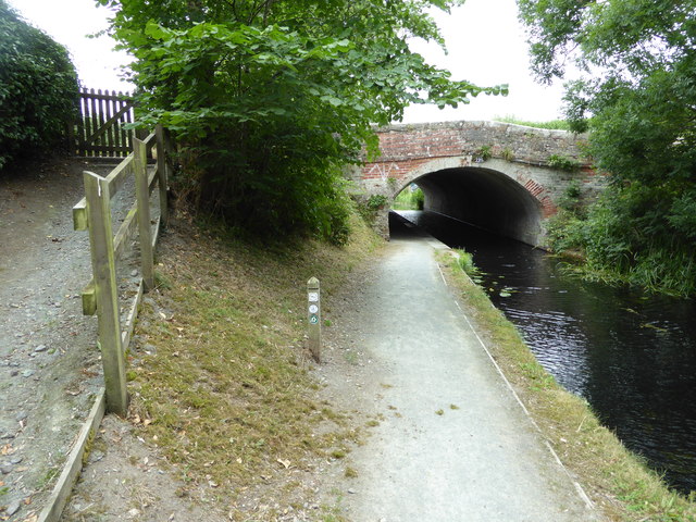
The village is known for its natural beauty, with rolling hills and expansive moors stretching as far as the eye can see. The downs provide ample opportunities for outdoor activities such as hiking, horseback riding, and birdwatching. Nature enthusiasts flock to Allt Lower to witness the breathtaking views of the surrounding countryside and the diverse wildlife that inhabits the area.

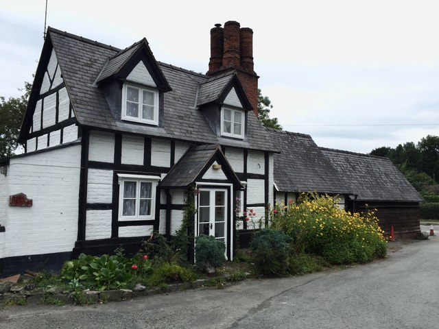
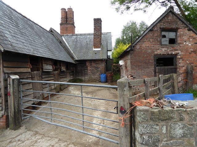
The village itself is a small, close-knit community that exudes a warm and welcoming atmosphere. Its charming, stone-built houses reflect the traditional architecture of the region, adding to the village's rustic charm. Allt Lower is home to a tight-knit community who take pride in their village and work together to maintain its beauty and heritage.

Although small, the village has a strong sense of community spirit, and residents often come together to organize local events and festivities. The village pub, The Moorland Arms, serves as a hub for social gatherings, where locals and visitors can enjoy a pint of locally brewed ale and engage in lively conversations.

In summary, Allt Lower is a hidden gem in Montgomeryshire, characterized by its breathtaking downs and moorland landscapes as well as its tight-knit community. It is a haven for nature lovers and those seeking a peaceful escape from the hustle and bustle of modern life.

If you have any feedback on the listing, please let us know in the comments section below.

Allt Lower Images

Images are sourced within 2km of 52.611003/-3.1776971 or Grid Reference SJ2002. Thanks to Geograph Open Source API. All images are credited.

Timbered House An attractive timbered house at Berriew.
Timbered House
An attractive timbered house at Berriew.
Stable block at Berriew Lovely old stables here.
Stable block at Berriew
Lovely old stables here.
Farm access track approaching Dol-las farm near Berriew Long track in that carries a footpath, passing a herd of cows, with a bull and calves.
Farm access track approaching Dol-las farm near Berriew
Long track in that carries a footpath, passing a herd of cows, with a bull and calves.
Old tree trunks at Lower Luggy farm Impressive tree trunk remnants. For scale, the trunk is maybe 6 ft high.
Old tree trunks at Lower Luggy farm
Impressive tree trunk remnants. For scale, the trunk is maybe 6 ft high.
Old castle motte beside the road Called Upper Luggy castle motte I believe, <span class="nowrap"><a title="http://www.coflein.gov.uk/en/site/306761/details/upper-luggy-castle" rel="nofollow ugc noopener" href="http://www.coflein.gov.uk/en/site/306761/details/upper-luggy-castle">Link</a><img style="margin-left:2px;" alt="External link" title="External link - shift click to open in new window" src="https://s1.geograph.org.uk/img/external.png" width="10" height="10"/></span> here.
Old castle motte beside the road
Called Upper Luggy castle motte I believe, LinkExternal link here.
Upper Luggy castle motte <span class="nowrap"><a title="http://www.coflein.gov.uk/en/site/306761/details/upper-luggy-castle" rel="nofollow ugc noopener" href="http://www.coflein.gov.uk/en/site/306761/details/upper-luggy-castle">Link</a><img style="margin-left:2px;" alt="External link" title="External link - shift click to open in new window" src="https://s1.geograph.org.uk/img/external.png" width="10" height="10"/></span> here.
Upper Luggy castle motte
LinkExternal link here.
Canal bridge 126 on the Montgomery Canal Lovely bridge here on the Monty.
Canal bridge 126 on the Montgomery Canal
Lovely bridge here on the Monty.
Cow beside the Montgomery Canal This was one relaxed and contented bovine.
Cow beside the Montgomery Canal
This was one relaxed and contented bovine.
Part of the Montgomeryshire Canal near Berriew Cattle graze and drink here on a July day.
Part of the Montgomeryshire Canal near Berriew
Cattle graze and drink here on a July day.
On the towpath of the Monty near Berriew Canal walks are always good but this section is very scenic and pleasant.
On the towpath of the Monty near Berriew
Canal walks are always good but this section is very scenic and pleasant.
View across fields from the Montgomeryshire Canal View towards distant Corndon Hill. There is also a bull dozing on its own in the field nearby.
View across fields from the Montgomeryshire Canal
View towards distant Corndon Hill. There is also a bull dozing on its own in the field nearby.
Bull dozing beside the Montgomeryshire Canal This impressive fellow seems to have his day well planned.
Bull dozing beside the Montgomeryshire Canal
This impressive fellow seems to have his day well planned.
Walking the towpath of the Montgomeryshire Canal Lovely walking.
Walking the towpath of the Montgomeryshire Canal
Lovely walking.
Walking the towpath of the Montgomeryshire Canal A canal designed by an artist I'm sure.
Walking the towpath of the Montgomeryshire Canal
A canal designed by an artist I'm sure.
Walking the towpath of the Montgomeryshire Canal at Berriew Lock Great walking and plenty of heritage and history.
Walking the towpath of the Montgomeryshire Canal at Berriew Lock
Great walking and plenty of heritage and history.
Beside the Montgomeryshire Canal near Berriew Lovely old lock here, with Lock-keeper's cottage.
Beside the Montgomeryshire Canal near Berriew
Lovely old lock here, with Lock-keeper's cottage.
Bridge over the Montgomeryshire Canal near Berriew With some graffiti of the Free Wales Army I think.
Bridge over the Montgomeryshire Canal near Berriew
With some graffiti of the Free Wales Army I think.
Workshop beside the canal near Berriew A blacksmith's I believe.
Workshop beside the canal near Berriew
A blacksmith's I believe.
Show me another place!

Allt Lower is located at Grid Ref: SJ2002 (Lat: 52.611003, Lng: -3.1776971)

Unitary Authority: Powys

Police Authority: Dyfed Powys

What 3 Words

///fuzz.talker.pastime. Near Welshpool, Powys

Nearby Locations

Allt Lower

Related Wikis

Brithdir, Powys

Brithdir is an area in the community of Berriew, Powys, Wales, which is 78 miles (126 km) from Cardiff and 151 miles (243 km) from London. It lies to the...

River Camlad

The River Camlad (or just Camlad) is a minor river in Powys and Shropshire. It forms part of the border between Wales and England in places, before flowing...

Belan, Powys

Belan is a hamlet, 3.5 miles (5.6 km) southwest of Welshpool, in Powys, Wales. It belongs to the community of Welshpool. The Belan Locks, built around...

St Beuno's Church, Berriew

St Beuno’s Church is the parish church of Berriew, in the historic county of Montgomeryshire, now Powys. The church stands in an almost oval churchyard...

Nearby Amenities

Located within 500m of 52.611003,-3.1776971
Brithdir Lock
Height: 2.74
Seamark Type: gate
Waterway: lock_gate
Lat/Long: 52.6129846/-3.1828344
Brithdir Turning Point
Maxlength: 70Ft
Waterway: Turning_point
Lat/Long: 52.6126031/-3.1842035
Power: pole
Lat/Long: 52.6151526/-3.174861
Power: pole
Lat/Long: 52.6130094/-3.1753813
Power: pole
Lat/Long: 52.6069178/-3.1768198
Power: pole
Lat/Long: 52.6098986/-3.1761484
Power: pole
Lat/Long: 52.6114817/-3.1757246
Power: pole
Lat/Long: 52.6139801/-3.1751506
Power: pole
Lat/Long: 52.6082112/-3.1765186
Brithdir Lock
Height: 2.74
Seamark Type: gate
Waterway: lock_gate
Lat/Long: 52.6128501/-3.1832327
Ford: yes
Lat/Long: 52.6106566/-3.1719237
Direction: SSW
Generator Method: photovoltaic
Generator Output Electricity: yes
Generator Solar Modules: 20
Generator Source: solar
Generator Type: solar_photovoltaic_panel
Location: roof
Power: generator
Lat/Long: 52.6115631/-3.1837848
The data included in this document is from www.openstreetmap.org. The data is made available under ODbL.

Have you been to Allt Lower?

Leave your review of Allt Lower below (or comments, questions and feedback).