Tarbarrel Moss
Downs, Moorland in Cumberland Allerdale
England
Tarbarrel Moss
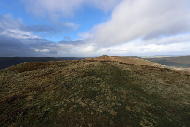
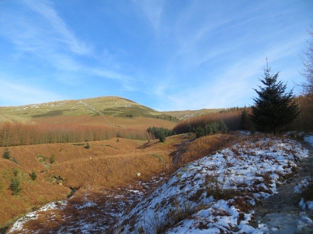
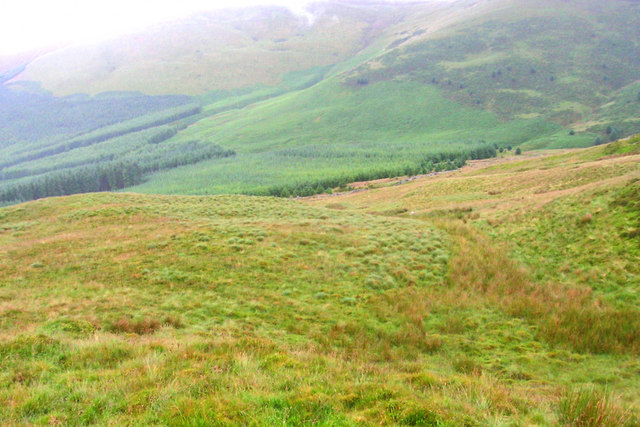
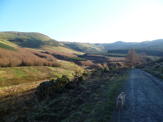
Tarbarrel Moss is a vast expanse of moorland located in the county of Cumberland, England. Situated within the picturesque landscape of the Lake District National Park, this area is renowned for its natural beauty and unique ecological features.
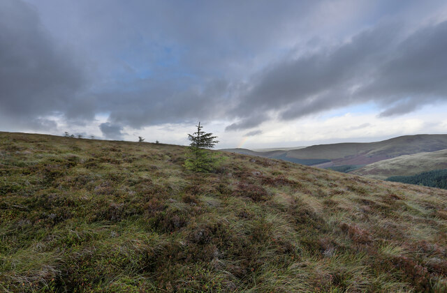
Covering an area of approximately 500 acres, Tarbarrel Moss is characterized by its wet and boggy terrain, which is predominantly composed of peat. The moss is fed by numerous streams and springs that converge here, resulting in a rich and diverse ecosystem.
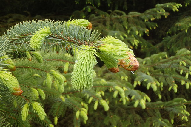
The vegetation found in Tarbarrel Moss is primarily composed of sphagnum moss, which gives the area its name. This type of moss, along with other bog plants such as cotton grass and heather, thrives in the acidic and waterlogged conditions of the moorland. These plants create a colorful and vibrant landscape, particularly during the summer months when they are in full bloom.
Tarbarrel Moss is home to a wide variety of wildlife, including numerous species of birds, insects, and small mammals. The moorland provides an important habitat for ground-nesting birds such as curlews and skylarks, as well as the rare and elusive black grouse.
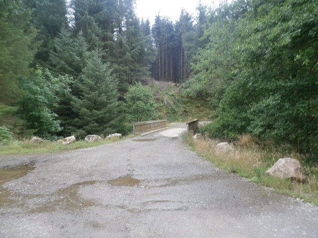
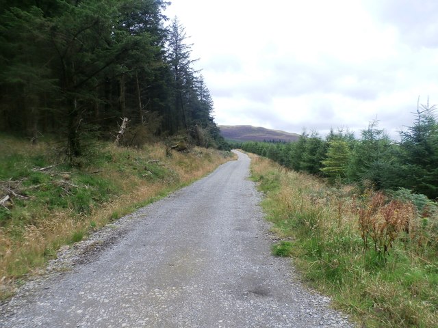
The moss is a popular destination for outdoor enthusiasts, offering opportunities for walking, birdwatching, and nature photography. Several well-maintained footpaths traverse the area, allowing visitors to explore its beauty while also ensuring the preservation of this fragile ecosystem.
In summary, Tarbarrel Moss is a stunning and ecologically significant moorland in Cumberland, offering a unique and diverse environment for both wildlife and outdoor enthusiasts alike.
If you have any feedback on the listing, please let us know in the comments section below.
Tarbarrel Moss Images
Images are sourced within 2km of 54.615457/-3.2356454 or Grid Reference NY2025. Thanks to Geograph Open Source API. All images are credited.


Tarbarrel Moss is located at Grid Ref: NY2025 (Lat: 54.615457, Lng: -3.2356454)
Administrative County: Cumbria
District: Allerdale
Police Authority: Cumbria
What 3 Words
///highly.proofs.proven. Near Keswick, Cumbria
Nearby Locations
Related Wikis
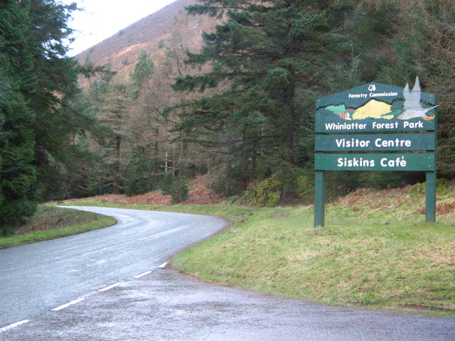
Whinlatter Pass
The Whinlatter Pass is a mountain pass in the Lake District in Cumbria, England. It is located on the B5292 road linking Braithwaite, to the west of Keswick...
Whinlatter
Whinlatter is a small fell in the north west of the English Lake District, just north of the Whinlatter Pass. It is easily climbed from the top of the...

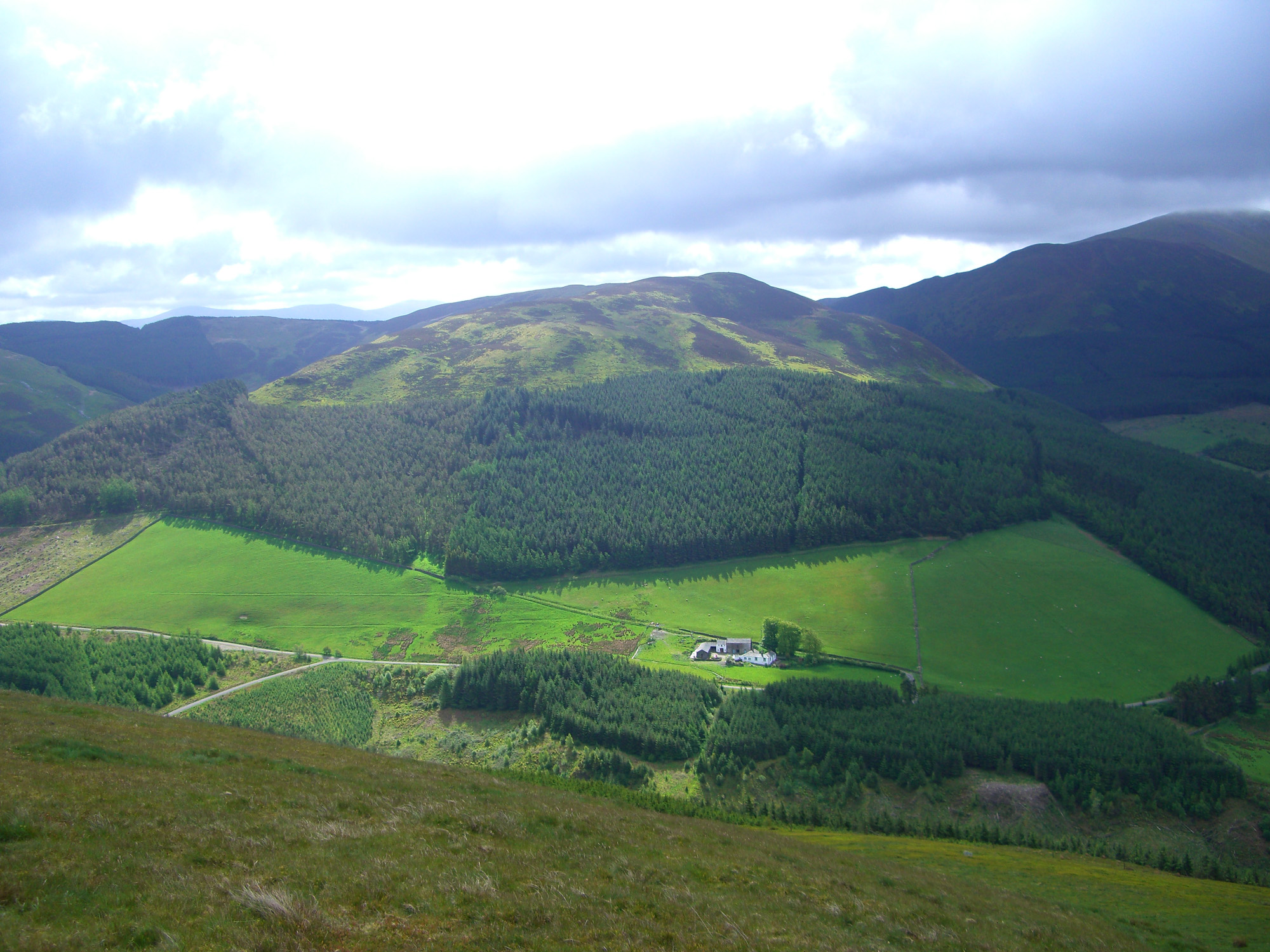
Lord's Seat
Lord's Seat is a fell in the English Lake District. It is the highest of the group of hills north of Whinlatter Pass in the North Western Fells. The slopes...

Broom Fell
Broom Fell is a small hill in the English Lake District. It lies on a ridge connecting Lord's Seat and Graystones, but is rarely climbed. Alfred Wainwright...
Nearby Amenities
Located within 500m of 54.615457,-3.2356454Have you been to Tarbarrel Moss?
Leave your review of Tarbarrel Moss below (or comments, questions and feedback).