Redvein Level (disused)
Downs, Moorland in Brecknockshire
Wales
Redvein Level (disused)

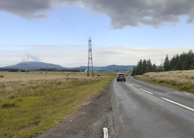
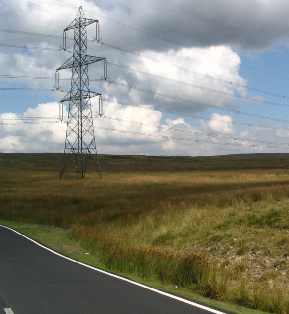
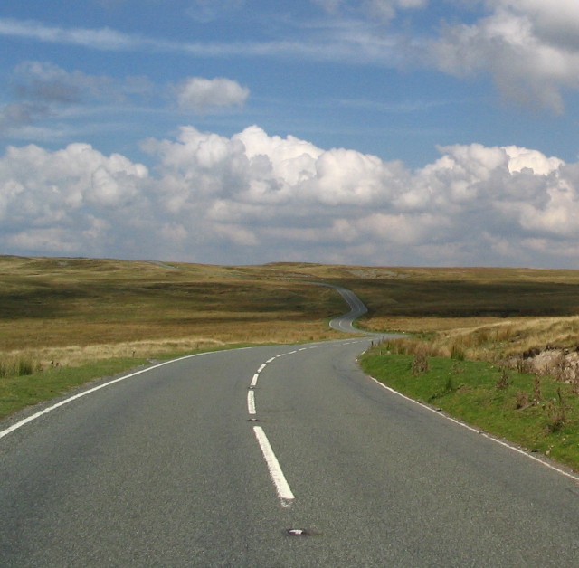
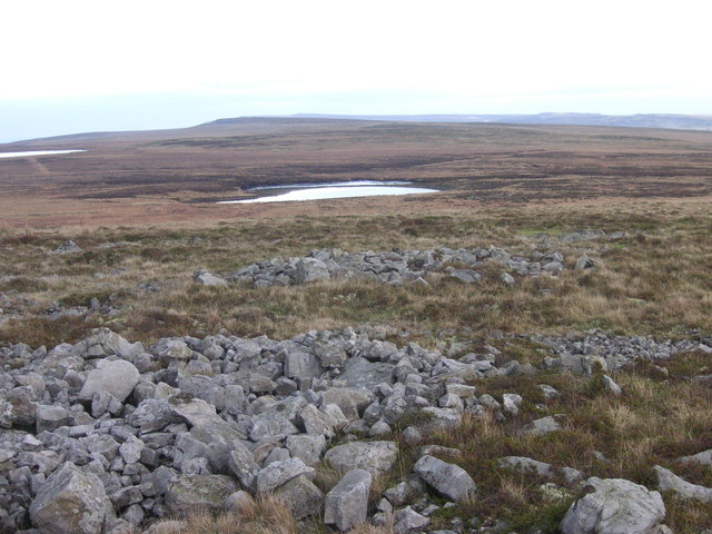
Redvein Level, located in Brecknockshire, is a disused area that encompasses both downs and moorland. The site is known for its picturesque landscapes and rich natural diversity. The level stretches across a vast area, offering visitors a unique opportunity to explore and appreciate the beauty of the surrounding environment.
The downs in Redvein Level are characterized by their gently rolling hills and extensive grasslands. These open spaces provide a habitat for a variety of bird species, such as skylarks and meadow pipits, as well as small mammals like rabbits and hares. The downs are also adorned with patches of vibrant wildflowers during the spring and summer months, adding a splash of color to the landscape.
Moving towards the moorland section of Redvein Level, the terrain becomes more rugged and features heather-covered hills and peat bogs. This moorland habitat supports a unique array of plant species, including cotton grass and bilberry bushes. The area is also home to a diverse range of bird species, such as red grouse and curlews, which thrive in this wild and remote environment.
While Redvein Level is now disused, it has a rich history of mining and agriculture. In the past, the area was known for its lead mines, which played a significant role in the local economy. Today, remnants of the mining industry, such as abandoned shafts and buildings, can still be found scattered across the landscape, adding a sense of historical interest to the area.
In conclusion, Redvein Level in Brecknockshire offers visitors a unique blend of downs and moorland, showcasing the natural beauty and diversity of the surrounding environment. Whether it's the rolling hills of the downs or the rugged moorland terrain, this disused area provides a captivating experience for nature enthusiasts and history buffs alike.
If you have any feedback on the listing, please let us know in the comments section below.
Redvein Level (disused) Images
Images are sourced within 2km of 51.817902/-3.1885423 or Grid Reference SO1813. Thanks to Geograph Open Source API. All images are credited.


Redvein Level (disused) is located at Grid Ref: SO1813 (Lat: 51.817902, Lng: -3.1885423)
Unitary Authority: Powys
Police Authority: Dyfed Powys
What 3 Words
///metro.sailor.taxi. Near Brynmawr, Blaenau Gwent
Nearby Locations
Related Wikis
Mynydd Llangatwg
Mynydd Llangatwg or Llangattock Mountain is a hill in the Brecon Beacons National Park in the county of Powys, south Wales. It is named from the village...

Brynmawr Foundation School
Brynmawr Foundation School (Welsh: Ysgol Sefydledig Brynmawr) is a secondary school in Brynmawr, Blaenau Gwent, Wales. == Academic performance == In 2016...

Craig y Cilau
Craig y Cilau is a limestone escarpment in the Brecon Beacons National Park in Powys, Wales. It was declared a national nature reserve in 1959 because...
Beaufort Theatre
The Beaufort Theatre is the principal theatre in Blaenau Gwent in Ebbw Vale. Until 2 April 2017 it was part of the Blaenau Gwent Venues, which also includes...
Nearby Amenities
Located within 500m of 51.817902,-3.1885423Have you been to Redvein Level (disused)?
Leave your review of Redvein Level (disused) below (or comments, questions and feedback).