Blood Moss

Downs, Moorland in Dumfriesshire

Scotland

Blood Moss

Hill farmland to the south of Great Hill This is mostly rough grazing with patches of improved grazing for cattle and sheep.
Hill farmland to the south of Great Hill Credit: Walter Baxter

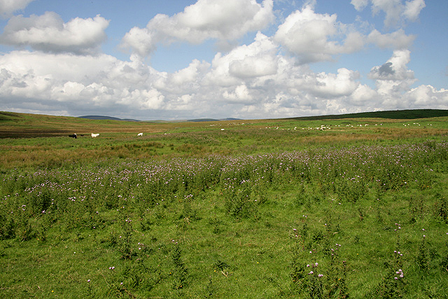
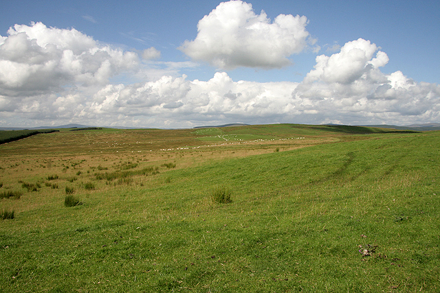
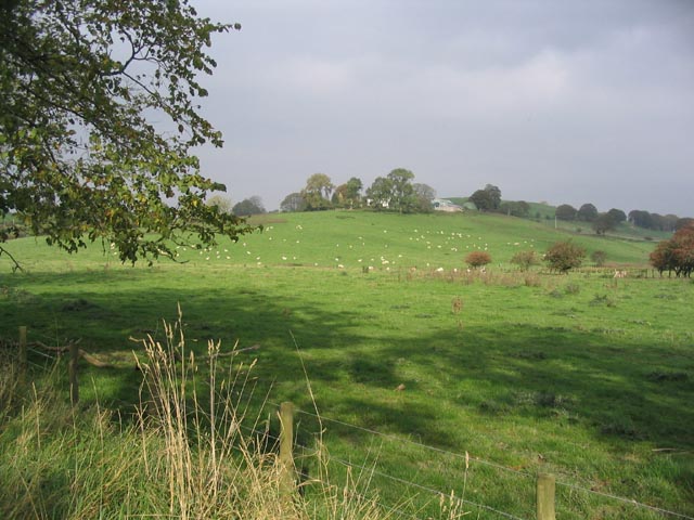
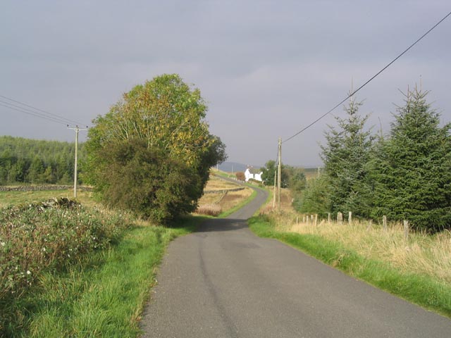
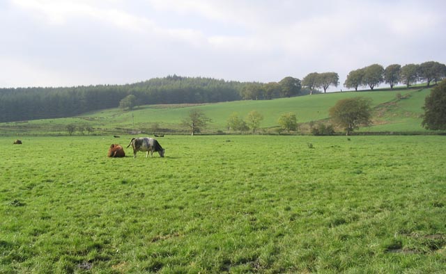
Blood Moss is a vast expanse of moorland located in Dumfriesshire, Scotland. Spread across acres of undulating terrain, this unique landscape is characterized by its crimson-hued vegetation, giving it the name "Blood Moss." Situated in the southern part of the country, it is part of the stunning Southern Uplands range.

The moorland of Blood Moss is predominantly covered with a variety of mosses and heathers that have adapted to the acidic and nutrient-poor soils. However, what sets this area apart is the abundance of Sphagnum magellanicum moss, which gives the landscape its striking red color. This species of moss thrives in the damp and acidic conditions found in the region, creating a visually captivating sight.

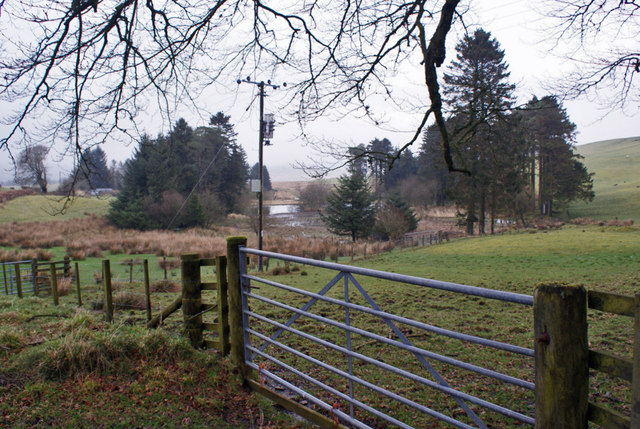
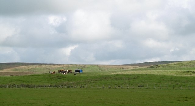
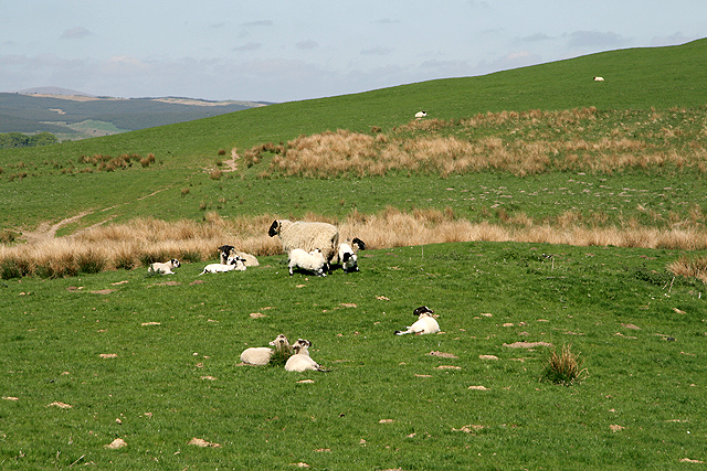
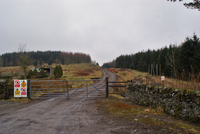
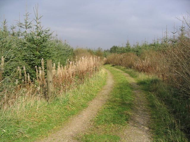
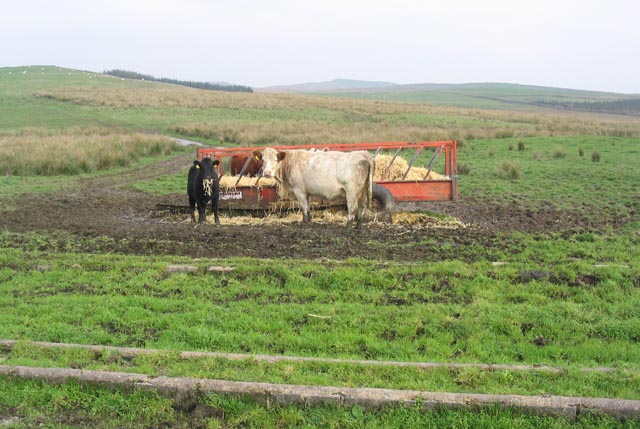
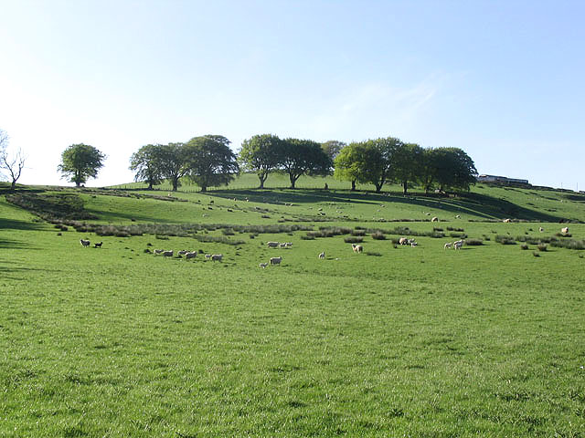
The terrain of Blood Moss is a mix of shallow pools, peat bogs, and heathland, providing a diverse habitat for various wildlife species. It is home to a range of bird species, including curlews, lapwings, and red grouse, which are often spotted darting across the moorland. The rare and elusive black grouse can also be found in this area.

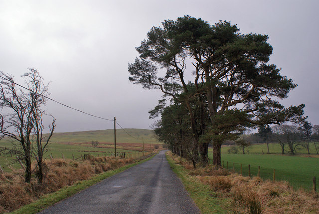
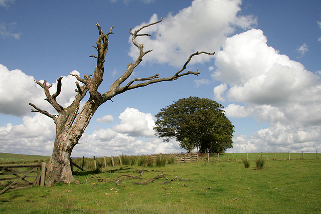
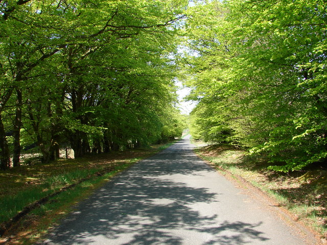
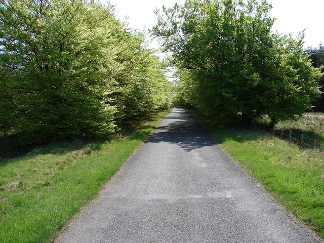
Blood Moss is a popular destination for nature enthusiasts, hikers, and birdwatchers. Its remote and untouched nature offers visitors a chance to immerse themselves in the tranquility of the moorland. The elevated vantage points provide breathtaking views of the surrounding countryside and the opportunity to spot wildlife in their natural habitat.

With its unique red-hued landscape and rich biodiversity, Blood Moss is a captivating natural wonder and a testament to the beauty of Scotland's moorlands.

If you have any feedback on the listing, please let us know in the comments section below.
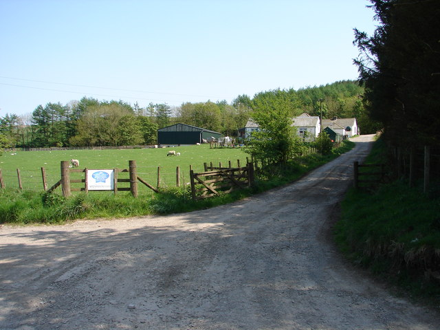
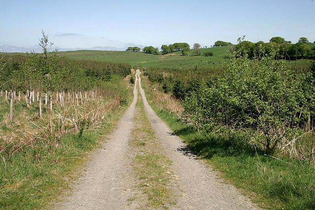
Blood Moss Images

Images are sourced within 2km of 55.188315/-3.2869786 or Grid Reference NY1888. Thanks to Geograph Open Source API. All images are credited.

Hill farmland to the south of Great Hill This is mostly rough grazing with patches of improved grazing for cattle and sheep.
Hill farmland to the south of Great Hill
This is mostly rough grazing with patches of improved grazing for cattle and sheep.
Tree-lined road The unclassified road runs south east from Boreland village.
Tree-lined road
The unclassified road runs south east from Boreland village.
Field entrance and ponds The ponds are probably man made, created by damming a small stream.
Field entrance and ponds
The ponds are probably man made, created by damming a small stream.
Nether Boreland Hill Cattle by a cratch above Boreland. This is the start of hill country, much planted with conifers and a contrast with lush Annandale.
Nether Boreland Hill
Cattle by a cratch above Boreland. This is the start of hill country, much planted with conifers and a contrast with lush Annandale.
Farmland at Corsehill This hill grazing for ewes and lambs was viewed from a minor road.
Farmland at Corsehill
This hill grazing for ewes and lambs was viewed from a minor road.
Carterton Hill This is a wide area of improved and rough grazing for sheep and cattle.
Carterton Hill
This is a wide area of improved and rough grazing for sheep and cattle.
Farmland at Carterton Hill Improved grazing fields with a Dutch elm diseased tree on the left.
Farmland at Carterton Hill
Improved grazing fields with a Dutch elm diseased tree on the left.
Entrance to Corse Hill Forest This entrance is from an unclassified road south of Boreland village.
Entrance to Corse Hill Forest
This entrance is from an unclassified road south of Boreland village.
Pasture near Corrie Bridge Heithat Farm is in the background.
Pasture near Corrie Bridge
Heithat Farm is in the background.
Forestry track near Heithatpark
Looking towards the house at Heithatpark
Cattle by feeder at Corsehill
Pasture near Corrie Bridge
Farmland south of Stobohill Farm
Blood Moss Woodlands The unclassified road from Corrie Common to Boreland fades away into the noon sunlight.
Blood Moss Woodlands
The unclassified road from Corrie Common to Boreland fades away into the noon sunlight.
Blood Moss New foliage on the tree-lined road between Boreland and Corrie Common.
Blood Moss
New foliage on the tree-lined road between Boreland and Corrie Common.
Wynholm Farm Wynholm dairy (and sheep) farm, situated on the Corrie Bridge - Carterton lane.
Wynholm Farm
Wynholm dairy (and sheep) farm, situated on the Corrie Bridge - Carterton lane.
A track near Stobohill Cottage It looks like a farm track but it is a forestry track.
A track near Stobohill Cottage
It looks like a farm track but it is a forestry track.
Show me another place!

Blood Moss is located at Grid Ref: NY1888 (Lat: 55.188315, Lng: -3.2869786)

Unitary Authority: Dumfries and Galloway

Police Authority: Dumfries and Galloway

What 3 Words

///storms.aliens.pods. Near Lockerbie, Dumfries & Galloway

Nearby Locations

Blood Moss

Related Wikis

Boreland

Boreland is a village in Dumfries and Galloway, Scotland, which is located in Dryfesdale about 7 miles (11 kilometres) north of Lockerbie on the B723 road...

Sibbaldbie

Sibbaldbie is a small village in Annandale, Dumfries and Galloway, Scotland. == References ==

Whitcastles stone circle

Whitcastles or Little Hartfell (grid reference NY 2240 8806) is a stone circle 6½ miles NE of Lockerbie, Dumfries and Galloway. Nine fallen stones lie...

Annandale and Eskdale

Annandale and Eskdale is a committee area in Dumfries and Galloway, Scotland. It covers the areas of Annandale and Eskdale, the straths of the River Annan...

Nearby Amenities

Located within 500m of 55.188315,-3.2869786
Power: pole
Lat/Long: 55.1853949/-3.281948
Power: pole
Lat/Long: 55.1860607/-3.282595
Power: pole
Lat/Long: 55.1874712/-3.2839361
Power: pole
Lat/Long: 55.1881006/-3.2845234
Power: pole
Lat/Long: 55.1893123/-3.2856723
Power: pole
Lat/Long: 55.1905477/-3.2868653
Power: pole
Lat/Long: 55.1886947/-3.2850746
Power: pole
Lat/Long: 55.1911916/-3.2874523
Power: pole
Lat/Long: 55.1918254/-3.2874342
Power: pole
Lat/Long: 55.1922224/-3.2874213
Power: pole
Lat/Long: 55.1899382/-3.2862579
Power: pole
Lat/Long: 55.1867565/-3.2832565
The data included in this document is from www.openstreetmap.org. The data is made available under ODbL.

Have you been to Blood Moss?

Leave your review of Blood Moss below (or comments, questions and feedback).