Cothelstone Park
Downs, Moorland in Somerset Somerset West and Taunton
England
Cothelstone Park

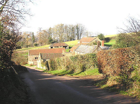
Cothelstone Park is a picturesque estate located in Somerset, England. Spread over an area of downs and moorland, this park offers a diverse and stunning landscape for visitors to explore.
The park features rolling hills and open fields, providing breathtaking views of the surrounding countryside. It is home to an abundance of wildlife, including various species of birds, butterflies, and small mammals. The park also boasts a wide range of flora, with wildflowers and grasses adding bursts of color to the landscape throughout the year.
One of the main attractions of Cothelstone Park is its extensive network of walking trails. These trails cater to all levels of fitness and provide an opportunity for visitors to immerse themselves in the natural beauty of the park. Whether it's a leisurely stroll or a more challenging hike, there is something for everyone to enjoy.
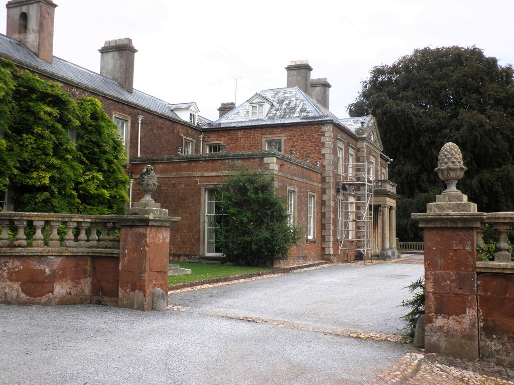
Additionally, the park is home to Cothelstone Manor, a historic country house that dates back to the 16th century. The manor offers guided tours, allowing visitors to delve into the rich history of the area and admire its architectural splendor.
For those seeking a peaceful retreat or a place to reconnect with nature, Cothelstone Park is the perfect destination. Its tranquil ambiance, stunning scenery, and rich wildlife make it an idyllic spot to unwind and appreciate the beauty of the Somerset countryside.
If you have any feedback on the listing, please let us know in the comments section below.
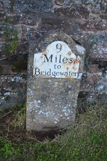
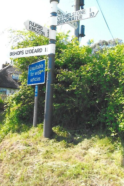
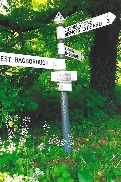
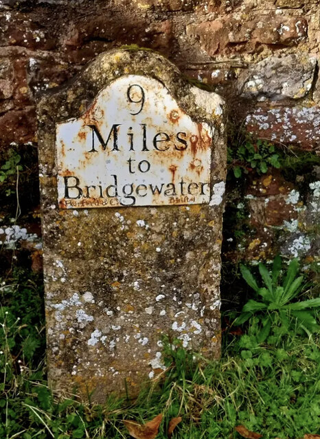
Cothelstone Park Images
Images are sourced within 2km of 51.078148/-3.1736233 or Grid Reference ST1731. Thanks to Geograph Open Source API. All images are credited.


Cothelstone Park is located at Grid Ref: ST1731 (Lat: 51.078148, Lng: -3.1736233)
Administrative County: Somerset
District: Somerset West and Taunton
Police Authority: Avon and Somerset
What 3 Words
///regulates.thirsty.brotherly. Near Bishops Lydeard, Somerset
Nearby Locations
Related Wikis
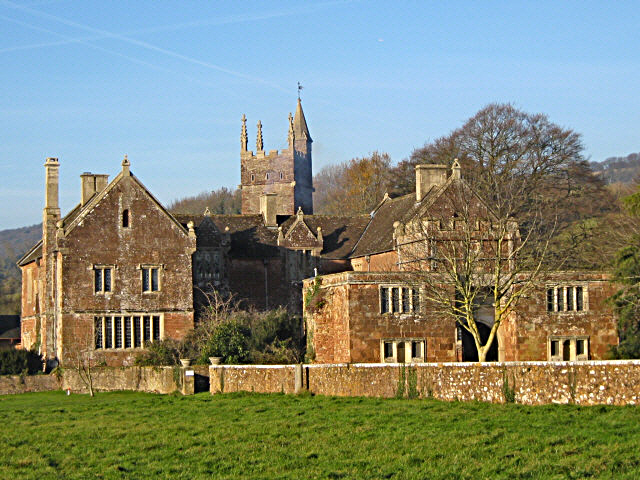
Cothelstone Manor
Cothelstone Manor in Cothelstone, Somerset, England was built in the mid-16th century, largely demolished by the parliamentary troops in 1646 and rebuilt...

Cothelstone
Cothelstone is a village and civil parish in Somerset, England, situated in the Quantock Hills six miles north of Taunton. The parish, which includes the...

West Bagborough Hoard
The West Bagborough Hoard is a hoard of 670 Roman coins and 72 pieces of hacksilver found in October 2001 by metal detectorist James Hawkesworth near...

Bishops Lydeard A.F.C.
Bishops Lydeard Association Football Club is a football club based in Bishops Lydeard, near Taunton, in Somerset, England. They are currently members of...

Seven Sisters (Quantock Hills)
The Seven Sisters is a clump of beech trees on Cothelstone Hill in the Quantock Hills, England. Originally planted in the 18th century, they form a well...

West Bagborough
West Bagborough is a village and civil parish in Somerset, England, about 5 miles (8.0 km) north of Taunton. In 2011, the village had a population of 358...
Bishops Lydeard
Bishops Lydeard () is a village and civil parish located in Somerset, England, 5 miles (8 km) north-west of Taunton. The civil parish encompasses the hamlets...
Lydeard House
Lydeard House in Bishops Lydeard, Somerset, England was built in the mid 18th century. It is a Grade II* listed building. == History == Lydeard House was...
Nearby Amenities
Located within 500m of 51.078148,-3.1736233Have you been to Cothelstone Park?
Leave your review of Cothelstone Park below (or comments, questions and feedback).