Tilbury Park
Downs, Moorland in Somerset Somerset West and Taunton
England
Tilbury Park
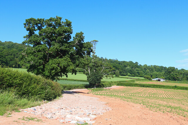
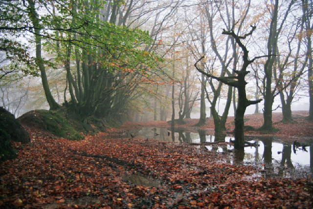
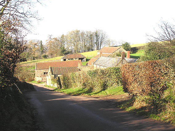
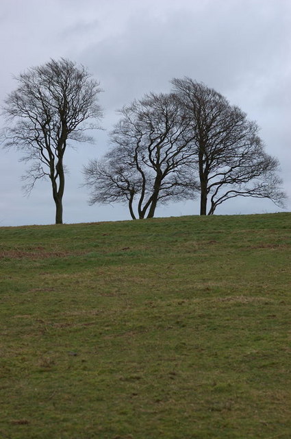
Tilbury Park is a picturesque and expansive park located in Somerset, England. Situated amidst the stunning landscape of the Somerset Downs and Moorland, it offers visitors a unique opportunity to explore and appreciate the natural beauty of the region. The park covers a significant area, encompassing rolling hills, verdant meadows, and ancient woodlands.
One of the main attractions of Tilbury Park is its diverse wildlife. The park is home to a wide variety of native species, including deer, badgers, rabbits, and a plethora of bird species. Birdwatchers will be delighted by the chance to spot rare and migratory birds in their natural habitat.
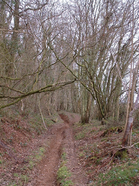
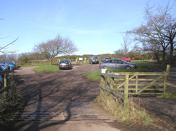
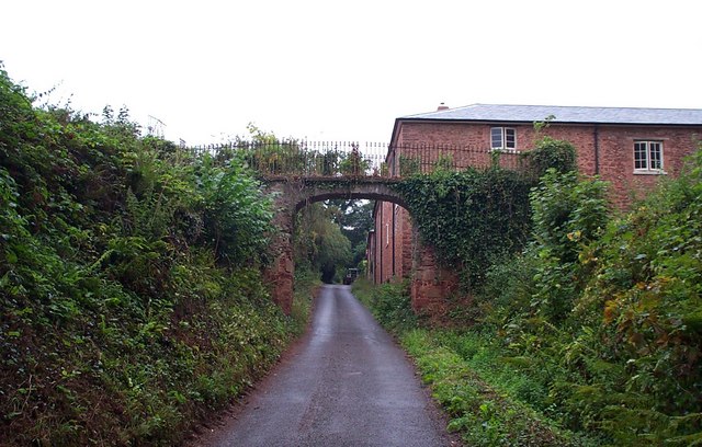
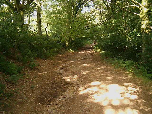
There are several walking trails and paths that wind their way through the park, allowing visitors to immerse themselves in the tranquil surroundings. These paths range in difficulty, catering to both casual strollers and more experienced hikers. Along the way, walkers can enjoy breathtaking views of the surrounding countryside and discover hidden gems such as ancient ruins and historic landmarks.
For those seeking a peaceful retreat, Tilbury Park provides numerous picnic areas and benches where visitors can relax and take in the serene atmosphere. The park also offers facilities for outdoor activities such as cycling and horse riding, with designated tracks and stables available for use.
Overall, Tilbury Park is a haven for nature enthusiasts and those seeking solace in the great outdoors. Its idyllic setting, rich biodiversity, and range of recreational opportunities make it a must-visit destination for both locals and tourists alike.
If you have any feedback on the listing, please let us know in the comments section below.
Tilbury Park Images
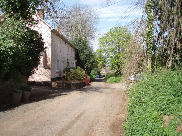
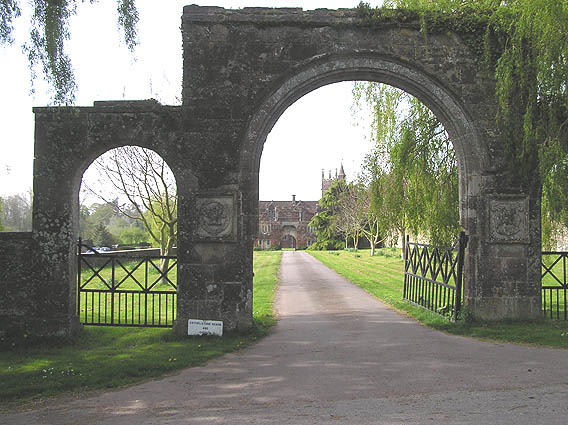
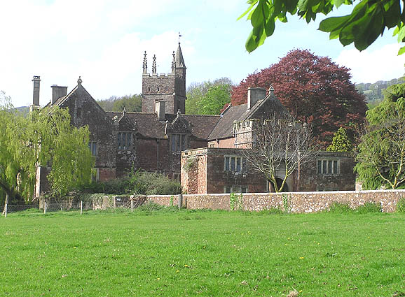
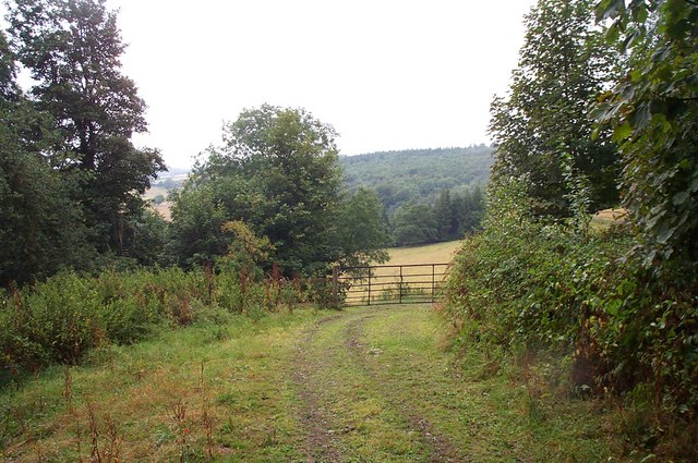
Images are sourced within 2km of 51.091872/-3.1743991 or Grid Reference ST1733. Thanks to Geograph Open Source API. All images are credited.


Tilbury Park is located at Grid Ref: ST1733 (Lat: 51.091872, Lng: -3.1743991)
Administrative County: Somerset
District: Somerset West and Taunton
Police Authority: Avon and Somerset
What 3 Words
///newsprint.grape.acting. Near Bishops Lydeard, Somerset
Nearby Locations
Related Wikis

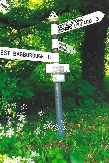
West Bagborough Hoard
The West Bagborough Hoard is a hoard of 670 Roman coins and 72 pieces of hacksilver found in October 2001 by metal detectorist James Hawkesworth near...

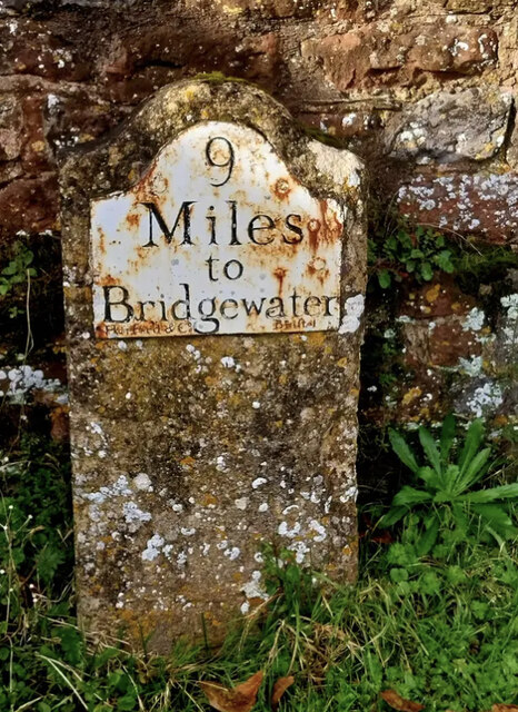
West Bagborough
West Bagborough is a village and civil parish in Somerset, England, about 5 miles (8.0 km) north of Taunton. In 2011, the village had a population of 358...

Bagborough House
Bagborough House in West Bagborough, Somerset, England was built circa 1730. It was designated a Grade II* listed building on 4 May 1984. Bagborough House...

Church of St Pancras, West Bagborough
The Anglican Church of St Pancras in West Bagborough, Somerset, England was built in the 15th century. It is a Grade II* listed building. == History... ==
Nearby Amenities
Located within 500m of 51.091872,-3.1743991Have you been to Tilbury Park?
Leave your review of Tilbury Park below (or comments, questions and feedback).