Coed Penybryn
Downs, Moorland in Denbighshire
Wales
Coed Penybryn
Coed Penybryn is a beautiful wooded area located in Denbighshire, Wales. Spread across the Downs and Moorland, this natural haven boasts stunning landscapes and diverse flora and fauna.
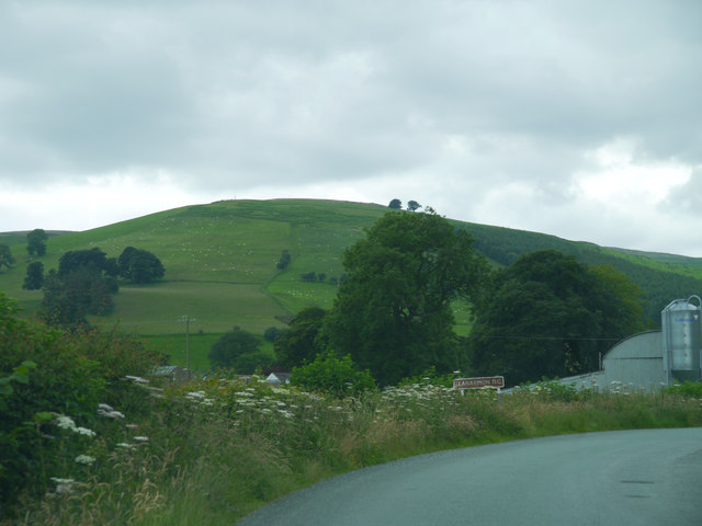
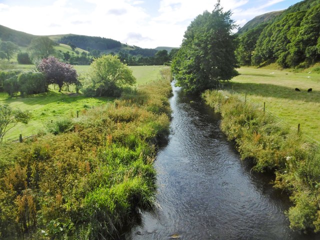
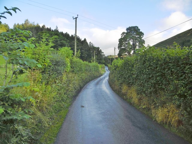
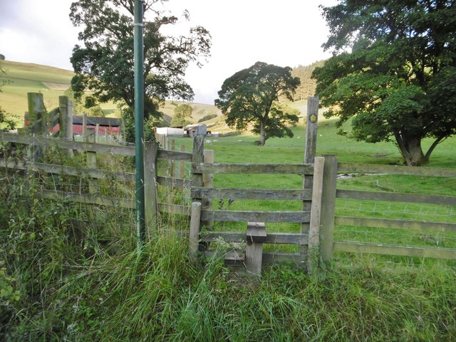
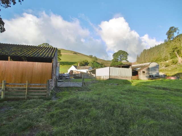
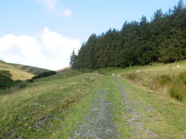
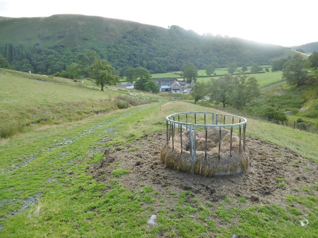
Covering an expansive area, Coed Penybryn is a scenic mix of ancient woodland and open moorland. The woodlands are characterized by a variety of tree species, including oak, beech, and birch, creating a rich and vibrant environment. The moorland areas are dominated by heather and gorse, which add a splash of color to the landscape, especially during the blooming season.
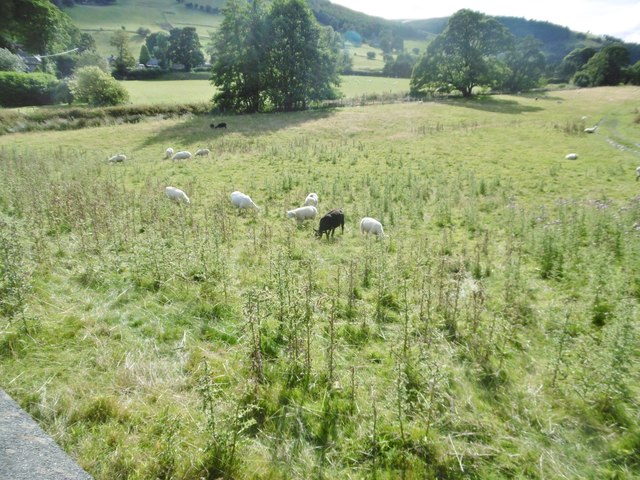
The woods and moorland of Coed Penybryn are home to a wide range of wildlife. Nature enthusiasts can spot a plethora of bird species, such as buzzards, kestrels, and woodpeckers, soaring through the skies or perched on tree branches. The woodlands also provide shelter to mammals like foxes, badgers, and various species of bats.
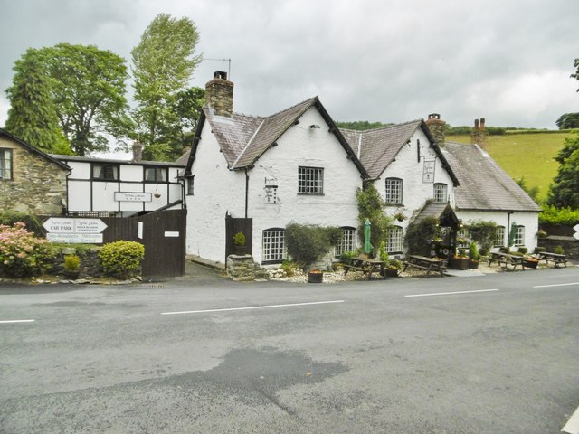
Coed Penybryn is a popular destination for outdoor activities such as hiking, birdwatching, and nature photography. The area is crisscrossed by well-maintained trails, offering visitors the chance to explore its scenic beauty while immersing themselves in the tranquility of the natural surroundings.
Managed by local authorities, Coed Penybryn is a cherished natural gem that provides a peaceful escape from the hustle and bustle of everyday life. Whether you are a nature lover, an adventure seeker, or simply seeking solace in nature, Coed Penybryn offers an idyllic setting to connect with the great outdoors.
If you have any feedback on the listing, please let us know in the comments section below.
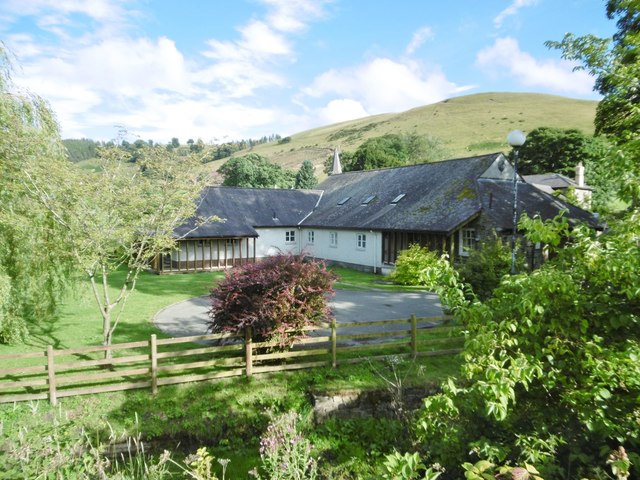
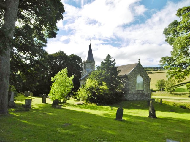
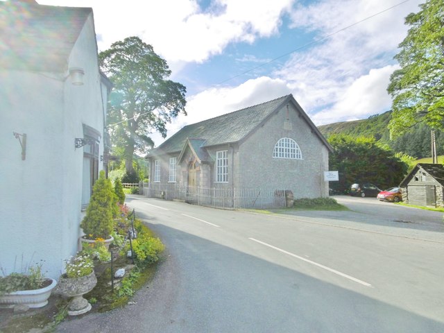
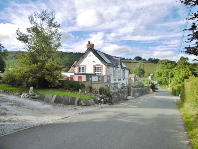
Coed Penybryn Images
Images are sourced within 2km of 52.894588/-3.2588803 or Grid Reference SJ1533. Thanks to Geograph Open Source API. All images are credited.


Coed Penybryn is located at Grid Ref: SJ1533 (Lat: 52.894588, Lng: -3.2588803)
Unitary Authority: Wrexham
Police Authority: North Wales
What 3 Words
///fuel.slyly.dart. Near Llanrhaeadr-ym-Mochnant, Powys
Nearby Locations
Related Wikis

Ceiriog Ucha
Ceiriog Ucha, also spelled as Ceiriog Uchaf (meaning "Upper Ceiriog"), is a community in Wrexham County Borough, Wales. The community lies in the Ceiriog...

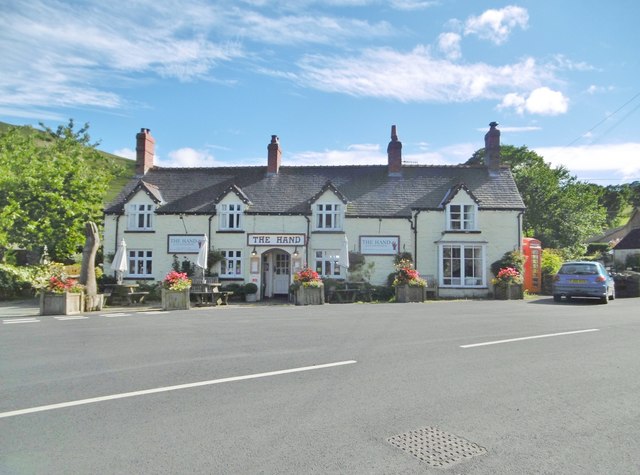
Llanarmon Dyffryn Ceiriog
Llanarmon Dyffryn Ceiriog (; often referred to as Llanarmon DC or locally simply as Llanarmon) is a village in Wrexham County Borough, Wales. It lies on...
Tregeiriog
Tregeiriog (a Welsh name translating roughly as "settlement [on the] River Ceiriog") is a village in Wrexham County Borough, Wales. It is in the community...
Glas Hirfryn
Glas Hirfryn is a farm in Cwmdu, at east side of the road through the valley of the Lleiriog on the southern side of the Berwyn Mountains. It is in the...
Nearby Amenities
Located within 500m of 52.894588,-3.2588803Have you been to Coed Penybryn?
Leave your review of Coed Penybryn below (or comments, questions and feedback).