Forest of Glenavon
Downs, Moorland in Banffshire
Scotland
Forest of Glenavon
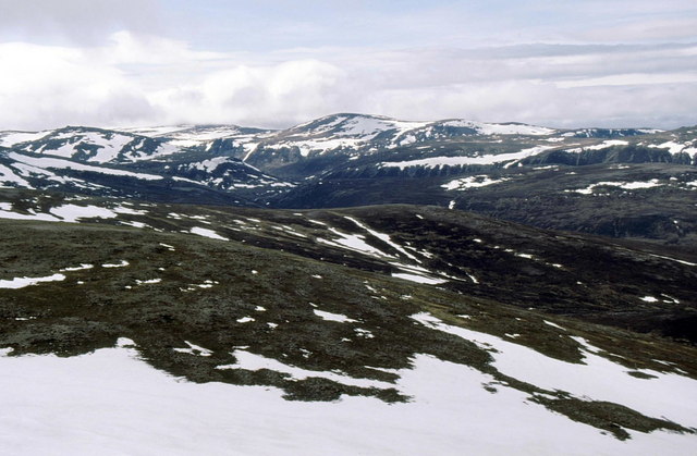
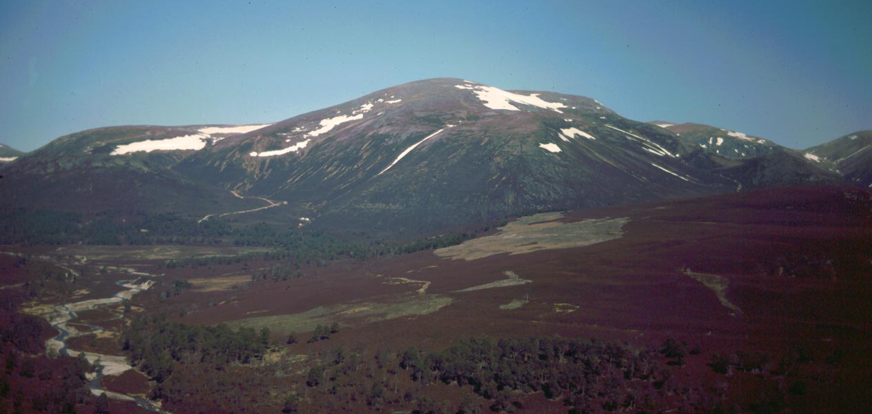
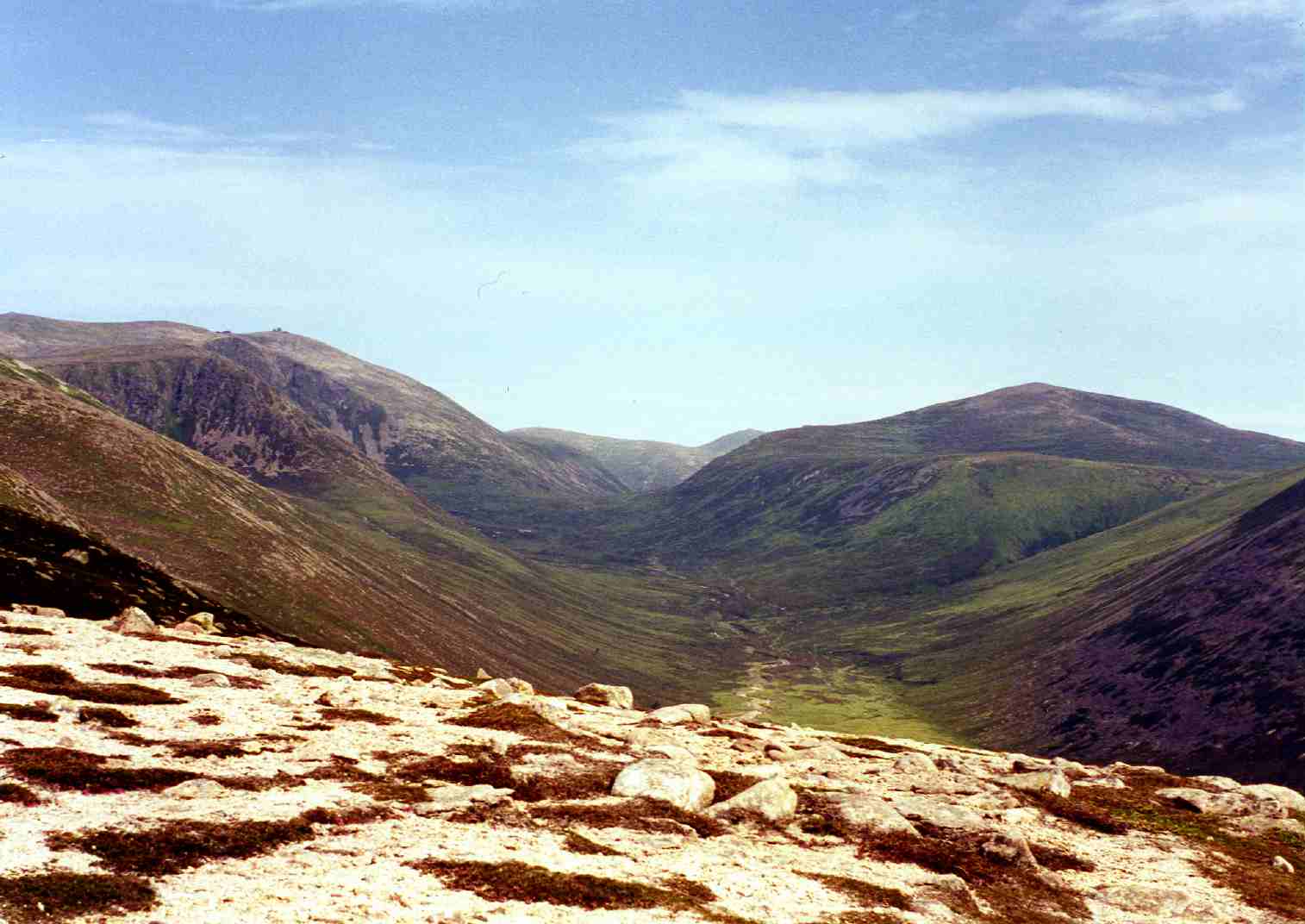
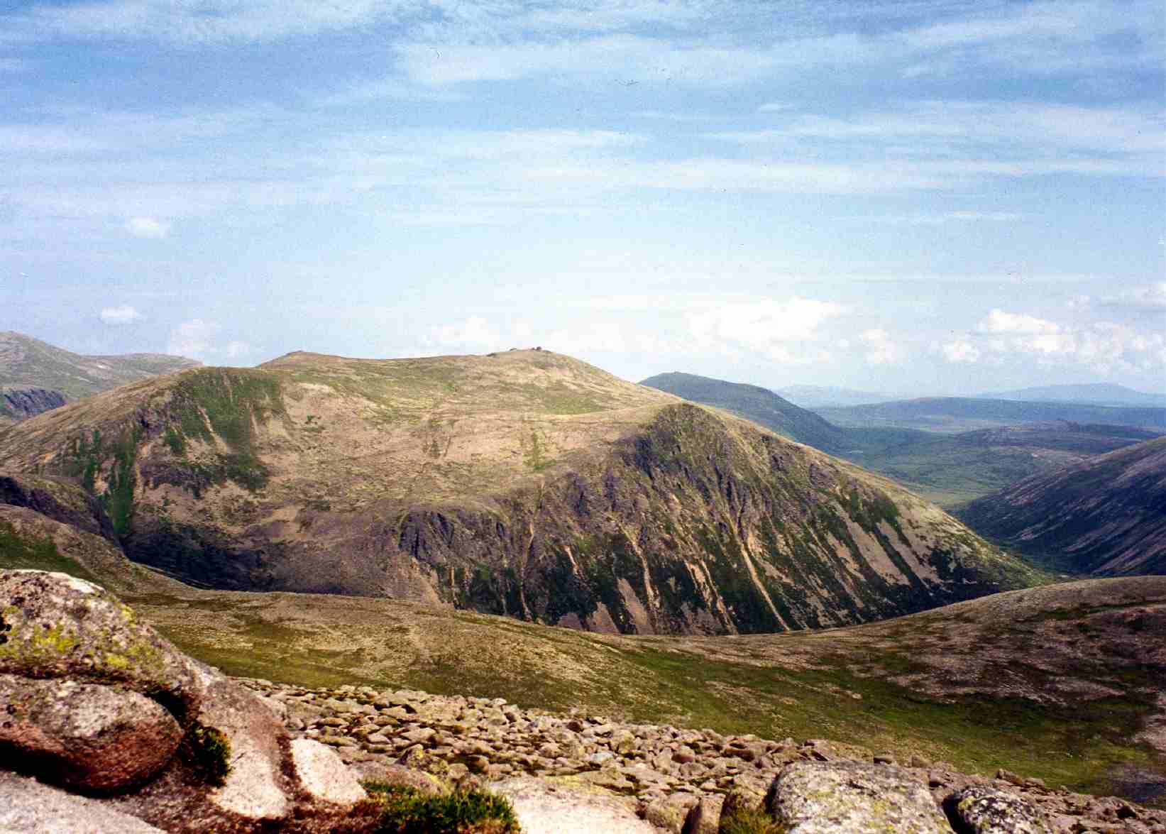
The Forest of Glenavon is a picturesque area located in Banffshire, Scotland. Covering a vast expanse of downs and moorland, the forest is a captivating natural landscape that attracts visitors from near and far.
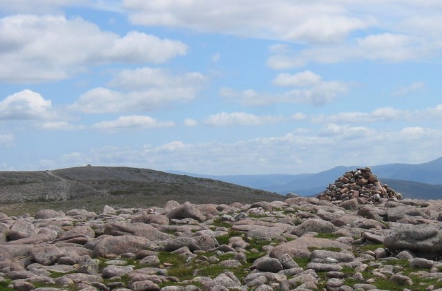
The downs in the Forest of Glenavon are characterized by gently rolling hills covered with lush green grasses. These areas provide a tranquil atmosphere, perfect for leisurely walks and picnics. The downs also offer breathtaking panoramic views of the surrounding countryside, with glimpses of the nearby Cairngorms National Park.
The moorland within the forest is a unique ecosystem, home to a diverse range of plants and wildlife. With its heather-covered hills and expansive open spaces, the moorland creates a stunning tapestry of colors throughout the year. Visitors to the Forest of Glenavon can witness the blooming of vibrant purple heather in the summer or marvel at the golden hues of the grasses in autumn.
The forest itself is a haven for nature enthusiasts, offering numerous walking and hiking trails that wind through its enchanting landscape. These trails provide opportunities to spot wildlife such as red deer, grouse, and various bird species in their natural habitat. The forest is also rich in archaeological sites, with ancient stone circles and burial cairns scattered throughout its grounds.
Overall, the Forest of Glenavon in Banffshire is a captivating destination for those seeking to immerse themselves in the beauty of nature. Its downs and moorland offer a peaceful retreat and a chance to reconnect with the natural world.
If you have any feedback on the listing, please let us know in the comments section below.
Forest of Glenavon Images
Images are sourced within 2km of 57.122261/-3.4584375 or Grid Reference NJ1104. Thanks to Geograph Open Source API. All images are credited.


Forest of Glenavon is located at Grid Ref: NJ1104 (Lat: 57.122261, Lng: -3.4584375)
Unitary Authority: Moray
Police Authority: North East
What 3 Words
///homecare.neck.help. Near Inverey, Aberdeenshire
Nearby Locations
Related Wikis

Ben Avon
Ben Avon (Scottish Gaelic: Beinn Athfhinn, 'mountain of the Avon') is a mountain in the Cairngorms of Scotland. It is a sprawling mountain with a broad...
Beinn a' Bhùird
Beinn a' Bhùird is a Munro in the Cairngorm mountain range of Scotland. In Watson (1975) the author suggests the mountain should be named Beinn Bòrd -...
Beinn a' Chaorainn (Cairngorms)
Beinn a' Chaorainn is a Scottish mountain in the heart of the Cairngorms range. It is quite a remote hill, being located roughly 19 kilometres south east...

Bynack More
Bynack More (Scottish Gaelic: A' Bheithneag Mhòr or Beinn Bheithneag) is a Scottish Mountain that is situated in the Cairngorms range, 16 kilometres east...

Lairig an Laoigh
The Lairig an Laoigh ( LAR-ig ən LOO-ee; Scottish Gaelic: Làirig Laoigh) is a mountain pass through the Highlands of Scotland. In speech and sometimes...

Culardoch
Culardoch (900 m) is a mountain in the Cairngorms of Scotland, located northeast of Braemar in Aberdeenshire. A smooth and heathery peak southeast of the...
Beinn Bhreac (Glen Derry)
Beinn Bhreac is a twin-peaked Scottish mountain located above Glen Derry in the Cairngorm Mountains approximately 11 kilometres (7 mi) north-west of Braemar...
Beinn Mheadhoin (Cairngorms)
Beinn Mheadhoin or Beinn Meadhain (Scottish Gaelic for 'middle mountain') is a mountain in the Highlands of Scotland. It is a Munro with a height of 1...
Nearby Amenities
Located within 500m of 57.122261,-3.4584375Have you been to Forest of Glenavon?
Leave your review of Forest of Glenavon below (or comments, questions and feedback).