Gavel Fell

Downs, Moorland in Cumberland Allerdale

England

Gavel Fell

Trees on slope of Knock Murton Knock Murton is a steeply domed hill on the western edge of the Lake District encircled by trees on its lower slopes to the north, east and south.
Trees on slope of Knock Murton Credit: Trevor Littlewood

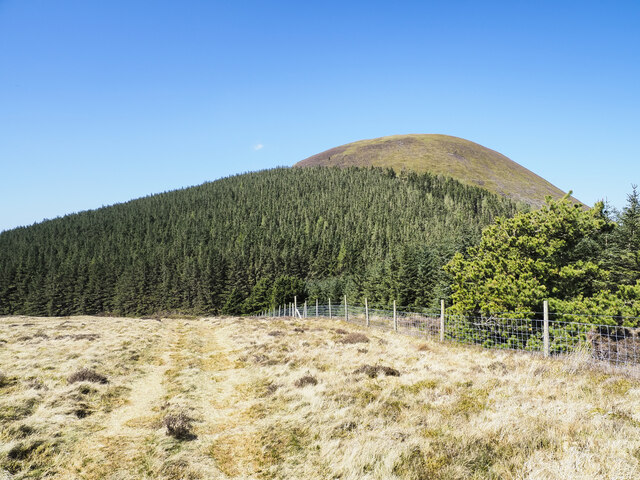
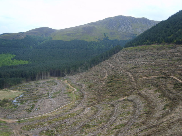
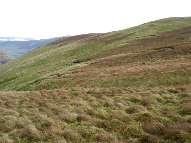
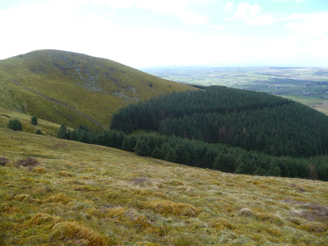
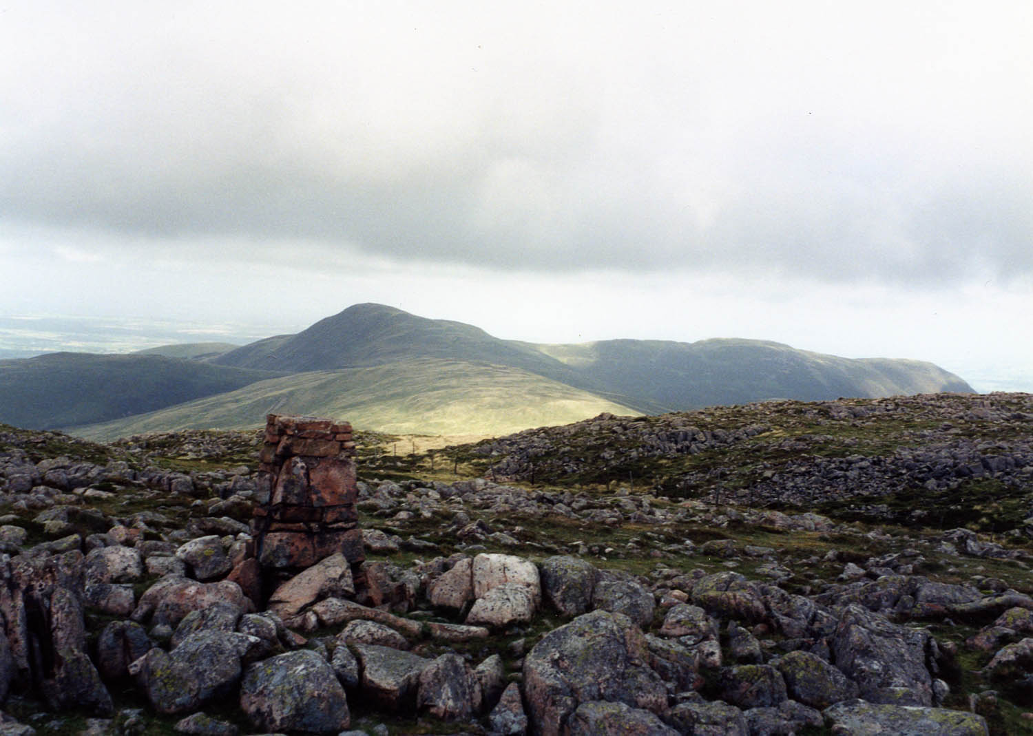
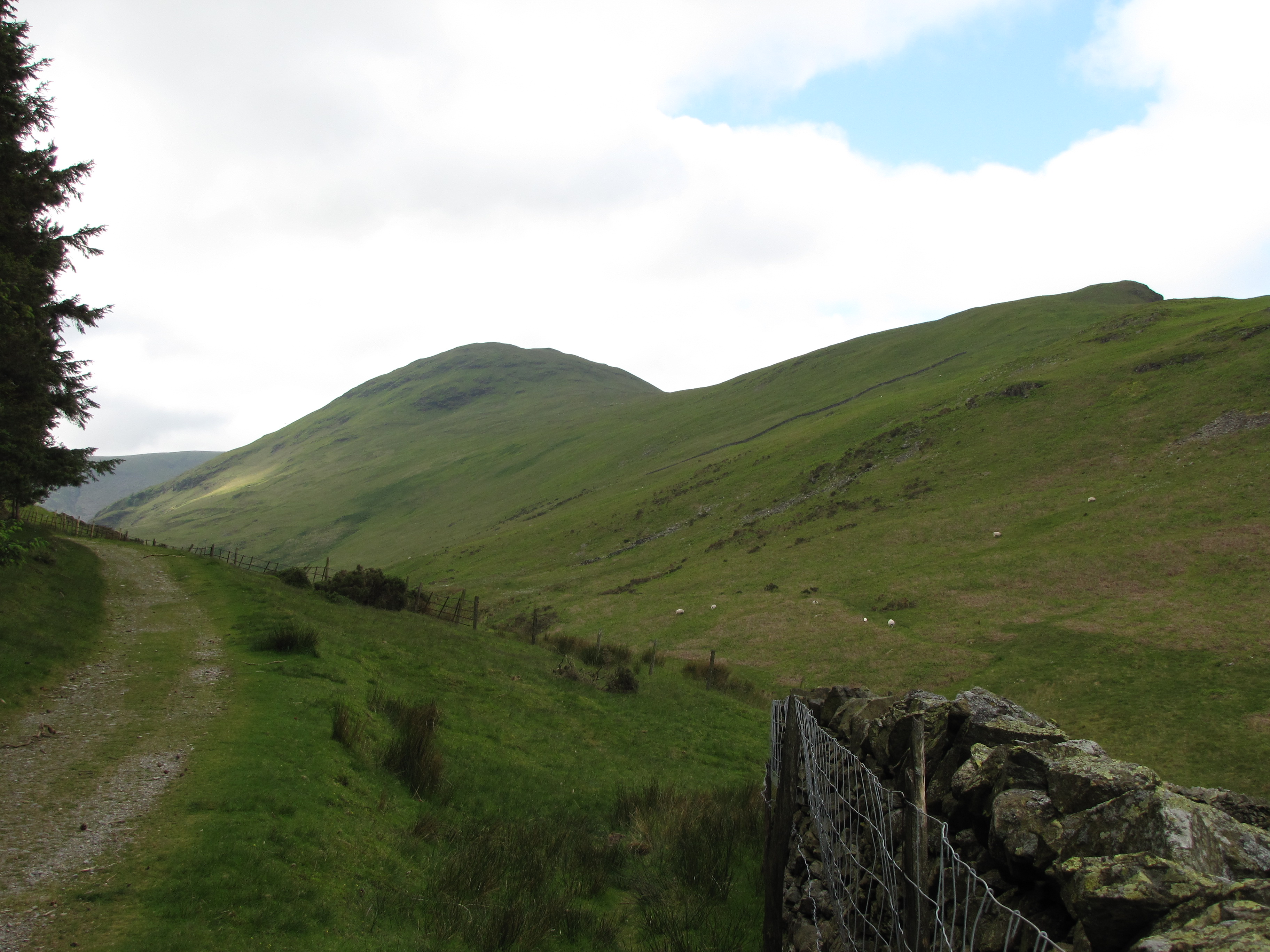
Gavel Fell is a prominent hill located in the county of Cumberland, in the northwestern part of England. Situated in the scenic area known as the Downs, the fell is part of the expansive Cumbrian landscape, characterized by its rolling hills and moorland. Gavel Fell stands at an elevation of approximately 1,785 feet (544 meters) above sea level, offering stunning panoramic views of the surrounding countryside.

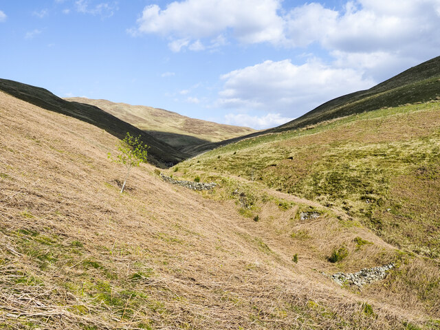
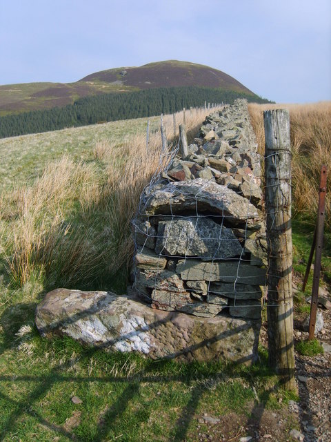
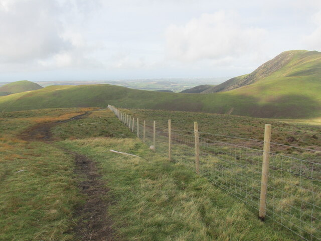
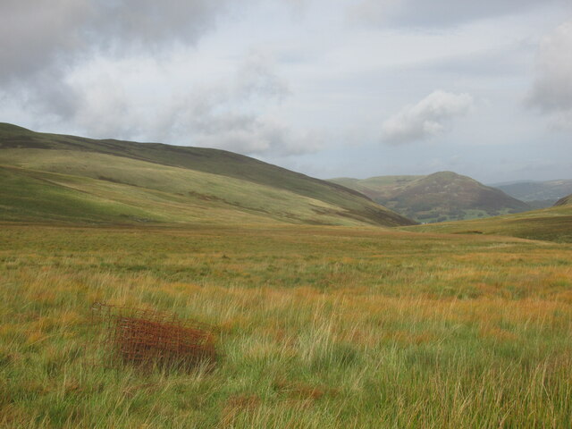
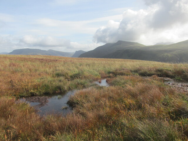
The hill is known for its rugged beauty and is a popular destination for hikers, walkers, and nature enthusiasts. Its slopes are covered in heather, bracken, and grasses, providing a habitat for a diverse range of flora and fauna. The fell is also home to a variety of bird species, including skylarks and meadow pipits, which can often be spotted soaring above the moorland.

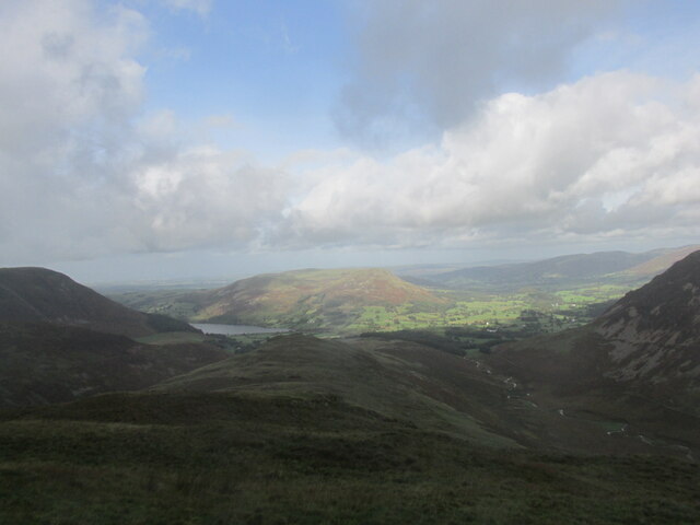
Gavel Fell is easily accessible from the nearby village of Ennerdale Bridge, with a well-maintained footpath leading to its summit. The climb to the top is relatively moderate, making it suitable for both experienced and novice walkers. On reaching the summit, visitors are rewarded with breathtaking views of the surrounding countryside, including the nearby Ennerdale Water, one of the most pristine lakes in the Lake District National Park.

Overall, Gavel Fell offers visitors a chance to experience the beauty of the Cumbrian countryside, with its picturesque moorland, diverse wildlife, and stunning views. It is a place where one can immerse themselves in nature, enjoy peaceful walks, and appreciate the unique charm of the region.

If you have any feedback on the listing, please let us know in the comments section below.
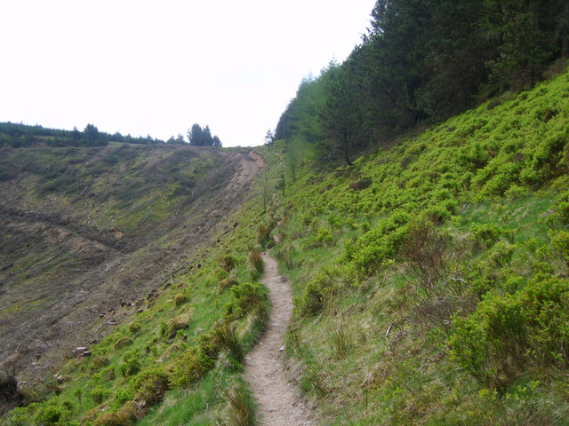
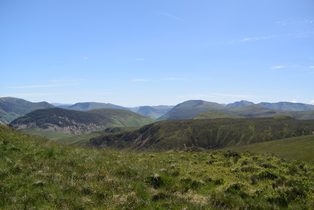
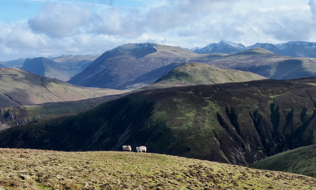
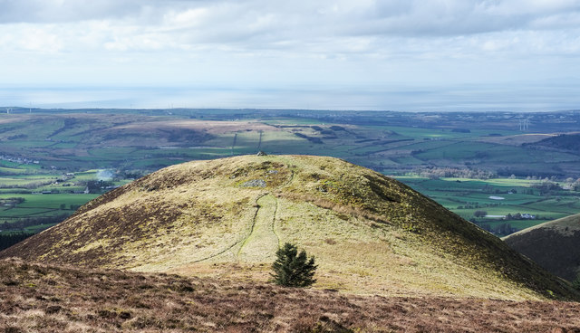
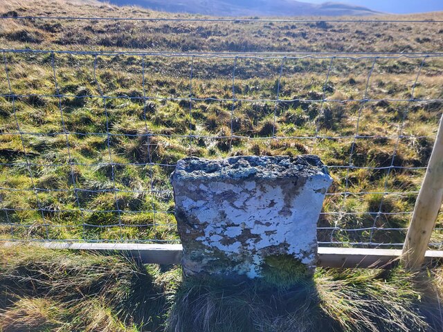
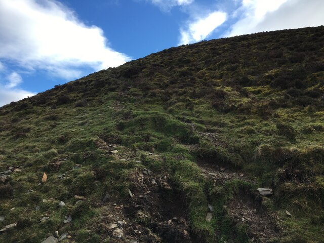
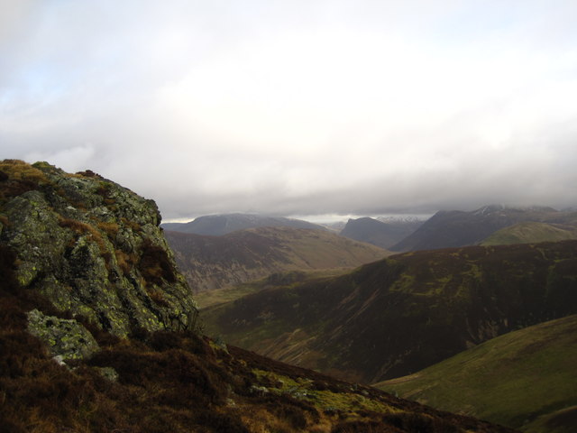
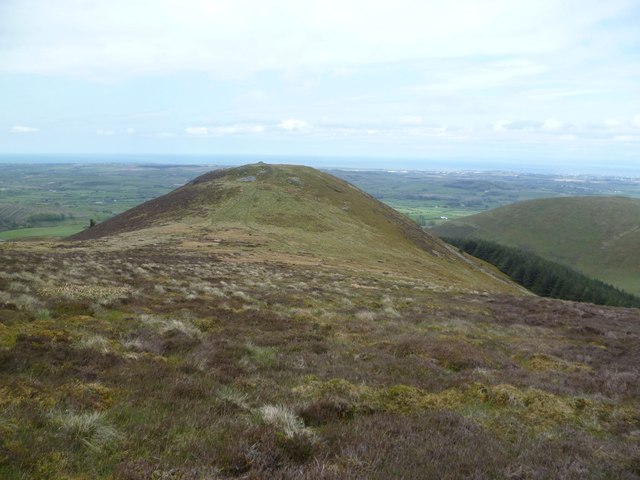
Gavel Fell Images

Images are sourced within 2km of 54.554289/-3.3676085 or Grid Reference NY1118. Thanks to Geograph Open Source API. All images are credited.

Trees on slope of Knock Murton Knock Murton is a steeply domed hill on the western edge of the Lake District encircled by trees on its lower slopes to the north, east and south.
Trees on slope of Knock Murton
Knock Murton is a steeply domed hill on the western edge of the Lake District encircled by trees on its lower slopes to the north, east and south.
Curious rows of rocks on hill slope The groove in which the two rows of rocks are found is not the main line of drainage in the valley of Croasdale Beck but a lesser one on the north side. The rows have the appearance of small dams but that seems unlikely  as there are gaps among the rocks which would allow water through.
Curious rows of rocks on hill slope
The groove in which the two rows of rocks are found is not the main line of drainage in the valley of Croasdale Beck but a lesser one on the north side. The rows have the appearance of small dams but that seems unlikely as there are gaps among the rocks which would allow water through.
Wall on Godworth Looking towards Knock Murton. An old stone gatepost has been recycled into the wall.
Wall on Godworth
Looking towards Knock Murton. An old stone gatepost has been recycled into the wall.
On Murton Fell On the east flank of the fell looking towards Lamplugh Fell and Blake Fell.
On Murton Fell
On the east flank of the fell looking towards Lamplugh Fell and Blake Fell.
Ascending Murton Fell On the path up the east flank
Ascending Murton Fell
On the path up the east flank
View south east from close to the summit of Burnbank Fell Ahead is Hencomb with Mellbreak to the left.
View south east from close to the summit of Burnbank Fell
Ahead is Hencomb with Mellbreak to the left.
Two sheep on a slope The sheep are below the ridge connecting Blake Fell with Carling Knott, standing at around 500 m. where the slope on which they're located begins to steepen in its descent to the valley.
The dark feature against which the animals are seen is Black Crag, the north-eastern extension of Gavel Fell. The gouged dome near to the centre of the image is Red Pike. Hen Comb's green summit is between those two features.
Two sheep on a slope
The sheep are below the ridge connecting Blake Fell with Carling Knott, standing at around 500 m. where the slope on which they're located begins to steepen in its descent to the valley. The dark feature against which the animals are seen is Black Crag, the north-eastern extension of Gavel Fell. The gouged dome near to the centre of the image is Red Pike. Hen Comb's green summit is between those two features.
Sharp Knott Sharp Knott is a steep-sided, outlying top of Blake Fell; there's a prominent cairn at its summit.
Sharp Knott
Sharp Knott is a steep-sided, outlying top of Blake Fell; there's a prominent cairn at its summit.
Path alongside fence at Fothergill Head Walking the Loweswater fells.
Path alongside fence at Fothergill Head
Walking the Loweswater fells.
Whiteoak Moss Very wet/boggy area to walk.
Whiteoak Moss
Very wet/boggy area to walk.
Boggy ground on Hen Comb
Ridge to Little Dodd From near the summit of Hen Comb.
Ridge to Little Dodd
From near the summit of Hen Comb.
Old Boundary Marker on High Pen Old Boundary Marker beside the wire fence on High Pen. Lamplugh parish.

Milestone Society National ID: CU_LAMP06bm
Old Boundary Marker on High Pen
Old Boundary Marker beside the wire fence on High Pen. Lamplugh parish. Milestone Society National ID: CU_LAMP06bm
Path on Herdus
Path on Herdus
Crag on Carling Knott
Sharp Knott From the flank of Blake Fell
Sharp Knott
From the flank of Blake Fell
Carling Knott
Carling Knott
Descending Burnbank Fell Heading for the plantation under Sharp Knott
Descending Burnbank Fell
Heading for the plantation under Sharp Knott
Show me another place!

Gavel Fell is located at Grid Ref: NY1118 (Lat: 54.554289, Lng: -3.3676085)

Administrative County: Cumbria

District: Allerdale

Police Authority: Cumbria

What 3 Words

///bank.thus.twitching. Near Frizington, Cumbria

Related Wikis

Gavel Fell

Gavel Fell is a hill in the English Lake District. Centremost of the five Loweswater Fells in the western part of the District, it stands between Hen Comb...

Blake Fell

Blake Fell is a hill in the Western part of the English Lake District. It is the highest point of the Loweswater Fells, an area of low grassy hills with...

Hen Comb

Hen Comb is a fell in the west of the English Lake District. One of the Loweswater Fells it lies to the south of Loweswater lake and Loweswater village...

Knock Murton

Knock Murton or Murton Fell is a hill of 464.4 metres (1,524 ft) in the north west of the Lake District, England. It lies in the Borough of Copeland in...

Nearby Amenities

Located within 500m of 54.554289,-3.3676085
Gavel Fell
Ele: 526
Natural: peak
Source: npe
Wikidata: Q5528033
Wikipedia: en:Gavel Fell
Lat/Long: 54.5540119/-3.3674368
Barrier: stile
Lat/Long: 54.5534084/-3.3670757
Description: Boundary Marker
Natural: stone
Lat/Long: 54.5542852/-3.3677786
Man Made: cairn
Lat/Long: 54.5529469/-3.3668136
Barrier: stile
Lat/Long: 54.5585229/-3.3699873
The data included in this document is from www.openstreetmap.org. The data is made available under ODbL.

Have you been to Gavel Fell?

Leave your review of Gavel Fell below (or comments, questions and feedback).