Bawdy Moss

Downs, Moorland in Midlothian

Scotland

Bawdy Moss

Altocumulus clouds over Craigengar Some striking altocumulus (I think) clouds over rolling moorland at the south-western end of the Pentland Hills.
Altocumulus clouds over Craigengar Credit: Alan O'Dowd

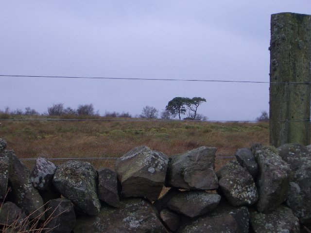
Bawdy Moss is a picturesque region located in Midlothian, Scotland. Situated amidst rolling hills and stunning moorland, it offers visitors a truly serene and breathtaking experience. The region is known for its tranquil atmosphere, making it an ideal destination for nature enthusiasts and those seeking a peaceful retreat.

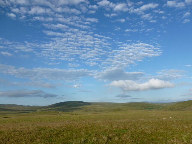
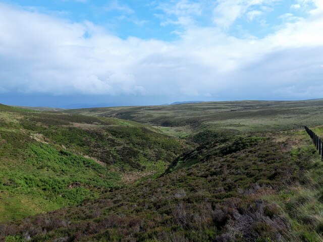
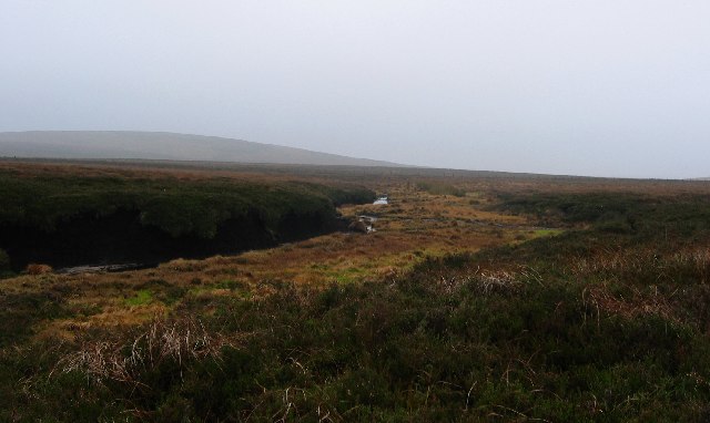
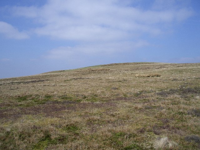
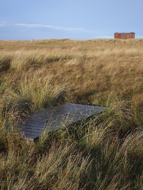
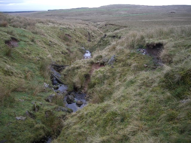
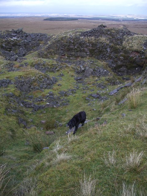
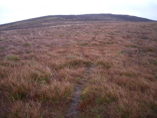
The landscape of Bawdy Moss is characterized by vast expanses of heather-covered moorland, dotted with scattered clumps of birch and rowan trees. The area is also home to a diverse range of wildlife, including various bird species, deer, and smaller mammals. This makes Bawdy Moss a popular spot for birdwatching and wildlife photography.

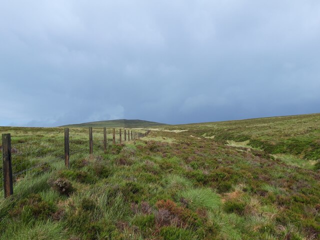
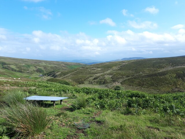
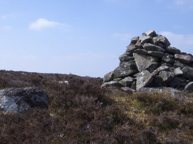
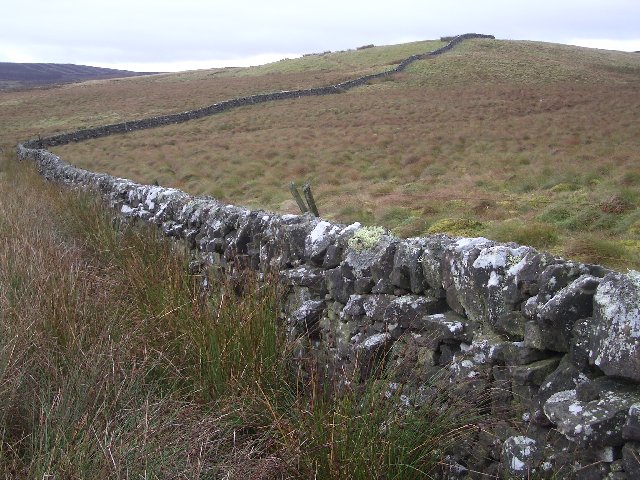
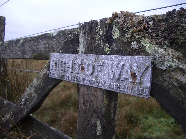
The Downs in Bawdy Moss present visitors with panoramic views of the surrounding countryside. The rolling hills offer an ideal terrain for hiking and walking, allowing visitors to explore the area's natural beauty at their own pace. Additionally, the region is intersected by several walking trails and footpaths, providing ample opportunities for outdoor activities.

Due to its remote location, Bawdy Moss offers a true escape from the hustle and bustle of city life. The absence of artificial lighting also makes it an excellent location for stargazing, with clear views of the night sky. Visitors can truly immerse themselves in the tranquility and natural wonders of Bawdy Moss.

Overall, Bawdy Moss in Midlothian is a hidden gem that showcases the beauty of Scotland's countryside. Whether it's admiring the moorland, exploring the Downs, or simply enjoying the peace and quiet, this region offers a memorable experience for all who visit.

If you have any feedback on the listing, please let us know in the comments section below.
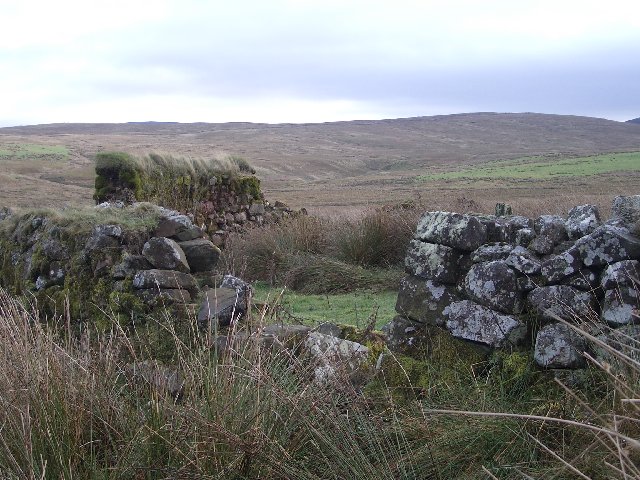
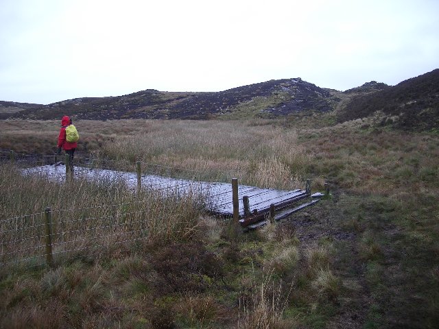
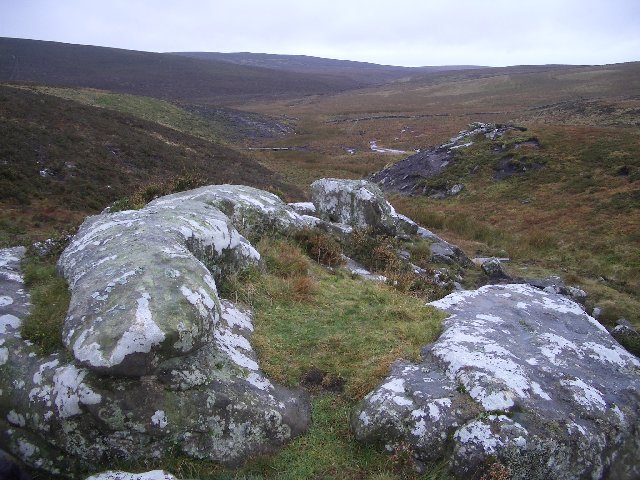
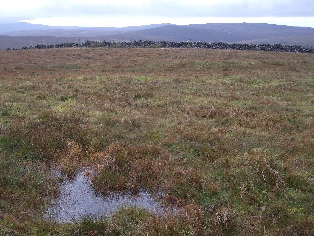
Bawdy Moss Images

Images are sourced within 2km of 55.780571/-3.4862146 or Grid Reference NT0655. Thanks to Geograph Open Source API. All images are credited.

Altocumulus clouds over Craigengar Some striking altocumulus (I think) clouds over rolling moorland at the south-western end of the Pentland Hills.
Altocumulus clouds over Craigengar
Some striking altocumulus (I think) clouds over rolling moorland at the south-western end of the Pentland Hills.
Fenceline on moorland above Ravens Cleugh A shower has just swept through above Craigengar, on a cool and changeable early-July day.
Fenceline on moorland above Ravens Cleugh
A shower has just swept through above Craigengar, on a cool and changeable early-July day.
Ravens Cleugh A burn draining into the Medwin Water, at the south-western end of the Pentland Hills.
Ravens Cleugh
A burn draining into the Medwin Water, at the south-western end of the Pentland Hills.
View down the Medwin Water The building shown on the map, by the small dam, is visible in the middle distance.
View down the Medwin Water
The building shown on the map, by the small dam, is visible in the middle distance.
Bog, below Darlees Rig. The southern Pentlands are covered in blanket bog. Here the peat has been eroded away into bare banks of peat and a burn flows from one marshy patch to another. The area is used as a grouse moor and also supports a few sheep.
Bog, below Darlees Rig.
The southern Pentlands are covered in blanket bog. Here the peat has been eroded away into bare banks of peat and a burn flows from one marshy patch to another. The area is used as a grouse moor and also supports a few sheep.
White Craig cairn This is the cairn on White Craig, the 434m top 1km north-east of Darlees Rig.
White Craig cairn
This is the cairn on White Craig, the 434m top 1km north-east of Darlees Rig.
Henshaw Hill This is a view of the rather uninspiring eastern slopes of Henshaw Hill.  The surrounding countryside is mainly rough bog and heather.
Henshaw Hill
This is a view of the rather uninspiring eastern slopes of Henshaw Hill. The surrounding countryside is mainly rough bog and heather.
Dry-stane dyke Looking over the wall from the Crosswood/Garvald path to the small plantation at the north end of Henshaw Hill.
Dry-stane dyke
Looking over the wall from the Crosswood/Garvald path to the small plantation at the north end of Henshaw Hill.
Old railway carriage An old railway carriage now in use as a shepherds shed.  The small bridge is one of several on this section of the Crosswood to Garvald path crossing the southwest end of the Pentlands.  Apart from the bridges this section of the path is virtually undetectable as is the case with many other sections of this route.
Old railway carriage
An old railway carriage now in use as a shepherds shed. The small bridge is one of several on this section of the Crosswood to Garvald path crossing the southwest end of the Pentlands. Apart from the bridges this section of the path is virtually undetectable as is the case with many other sections of this route.
Bawdy Knowes A well maintained stone wall leads to the shallow summit of Bawdy Knowes.  The Pentland Hills have a few good place names like this.
Bawdy Knowes
A well maintained stone wall leads to the shallow summit of Bawdy Knowes. The Pentland Hills have a few good place names like this.
Small Burn This burn is marked as "Small Burn" on the map, and is indeed, quite small!
Small Burn
This burn is marked as "Small Burn" on the map, and is indeed, quite small!
Right of Way An old Right of Way sign on the Crosswood to Garvald path ("route" would be more accurate as the path is largely non-existent).
Right of Way
An old Right of Way sign on the Crosswood to Garvald path ("route" would be more accurate as the path is largely non-existent).
Old sheepfold Looking east to where the Crosswood burn passes by Rowantree Jaw.
Old sheepfold
Looking east to where the Crosswood burn passes by Rowantree Jaw.
Bridge over wet ground A surprise bridge and lucky find.  This small valley between Bawdy Knowes and The Pike is virtually impassable without getting wet feet on a wet day.
Bridge over wet ground
A surprise bridge and lucky find. This small valley between Bawdy Knowes and The Pike is virtually impassable without getting wet feet on a wet day.
Rocky outcrop A small outcrop of rocks on Lothian Rigg, looking southwest to the upper reaches of the Medwin Water.
Rocky outcrop
A small outcrop of rocks on Lothian Rigg, looking southwest to the upper reaches of the Medwin Water.
Mealowther summit The top of a small hill sitting to the west of West Cairn Hill.  Looking southwest with most of the square hidden downhill beyond the wall.
Mealowther summit
The top of a small hill sitting to the west of West Cairn Hill. Looking southwest with most of the square hidden downhill beyond the wall.
Disused quarry A surprisingly large quarry near the summit of Mealowther.  There are several other disused quarries nearby.  Looking north.
Disused quarry
A surprisingly large quarry near the summit of Mealowther. There are several other disused quarries nearby. Looking north.
Craigengar, west ridge Heading up the gentle west ridge of Craigengar, a rarely climbed hill at the quiet end of the Pentlands.
Craigengar, west ridge
Heading up the gentle west ridge of Craigengar, a rarely climbed hill at the quiet end of the Pentlands.
Show me another place!

Bawdy Moss is located at Grid Ref: NT0655 (Lat: 55.780571, Lng: -3.4862146)

Unitary Authority: West Lothian

Police Authority: The Lothians and Scottish Borders

What 3 Words

///tracking.gymnasium.elects. Near West Linton, Scottish Borders

Nearby Locations

Bawdy Moss

Related Wikis

Tarbrax

Tarbrax (Scottish Gaelic: "An Tòrr Breac" - meaning "the speckled tor") is a small village in the Parish of Carnwath, South Lanarkshire, Scotland. It...

West Cairn Hill

West Cairn Hill is a hill in the Pentland Hills range of Scotland. With a height of 562 m (1,844 ft), it is the fifth highest elevation and lies on the...

West Water Reservoir

West Water Reservoir (sometimes Westwater Reservoir) is an artificial reservoir in the Pentland Hills, Scottish Borders, 3 kilometres (1.9 mi) west of...

Baddinsgill

Baddinsgill is a hamlet in the Scottish Borders area of Scotland. The Baddinsgill Reservoir is a few hundred metres north of the hamlet. == See also... ==

Have you been to Bawdy Moss?

Leave your review of Bawdy Moss below (or comments, questions and feedback).