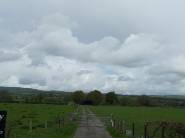
Allt y Gaer

Downs, Moorland in Montgomeryshire

Wales

Allt y Gaer

Farmland below Moel Iart The view extends into the Severn Valley, and you can see the plain around Caersws where three rivers converge.
Farmland below Moel Iart Credit: Bill Boaden

The requested URL returned error: 429 Too Many Requests

If you have any feedback on the listing, please let us know in the comments section below.
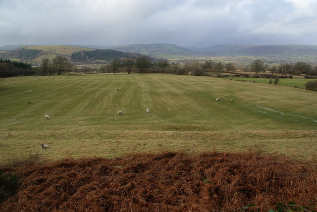
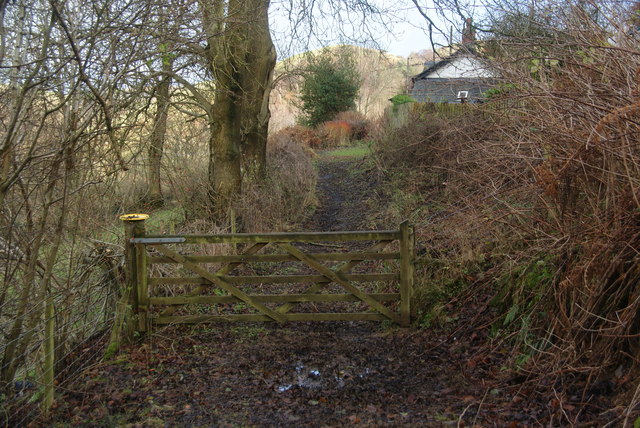
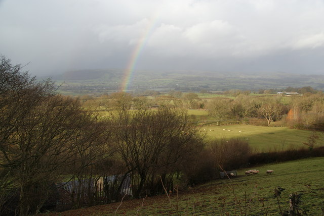
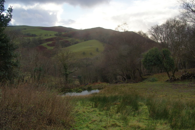
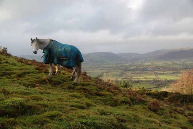
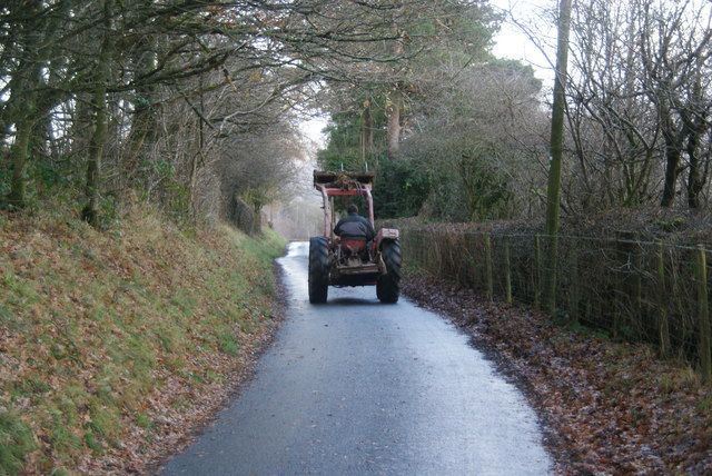
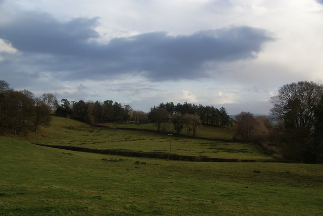
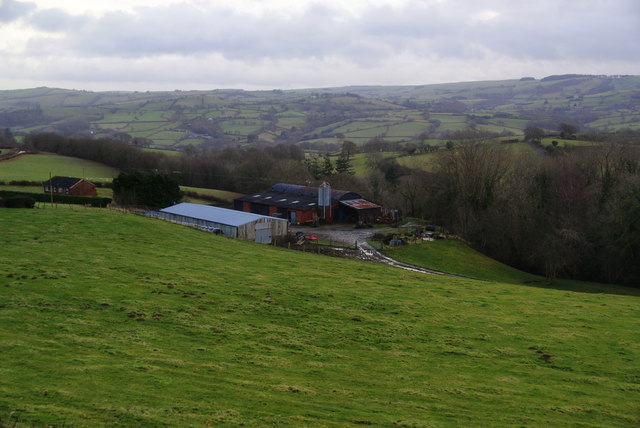
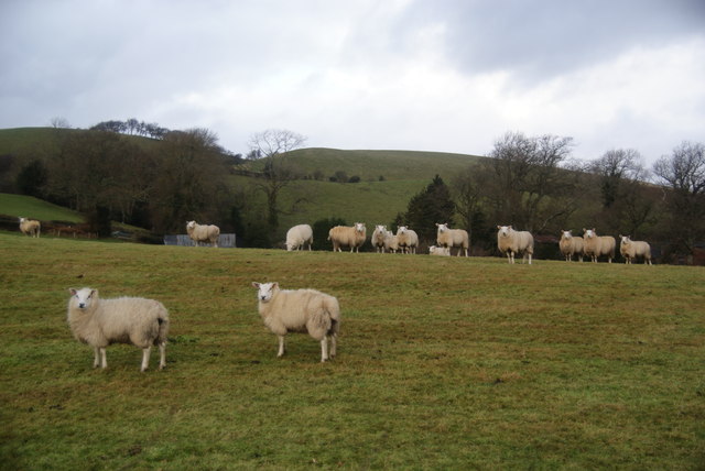
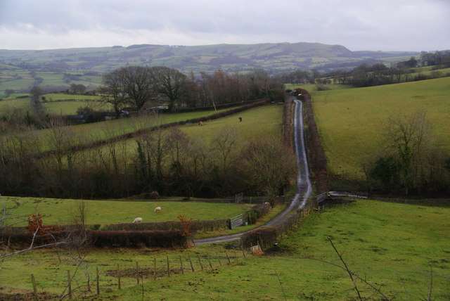
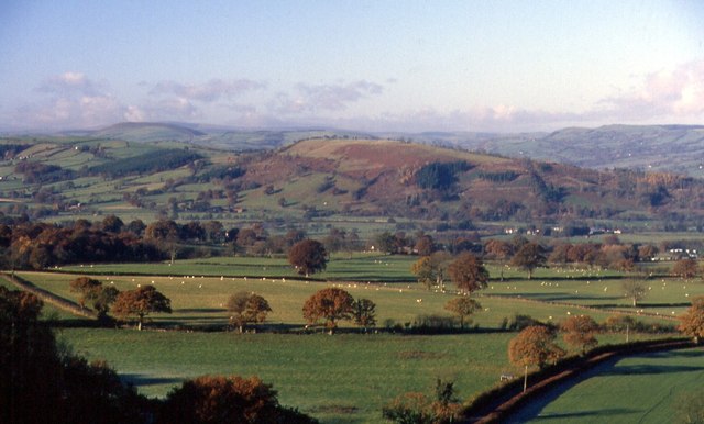
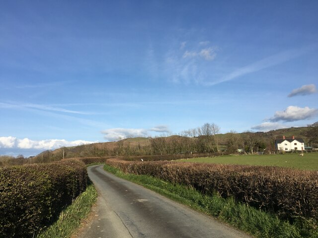
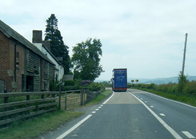
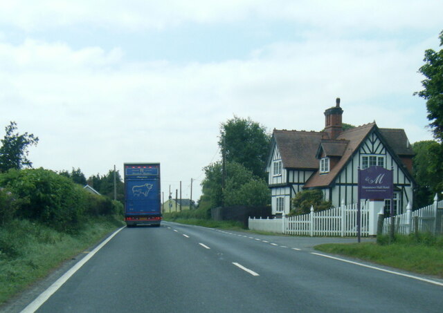
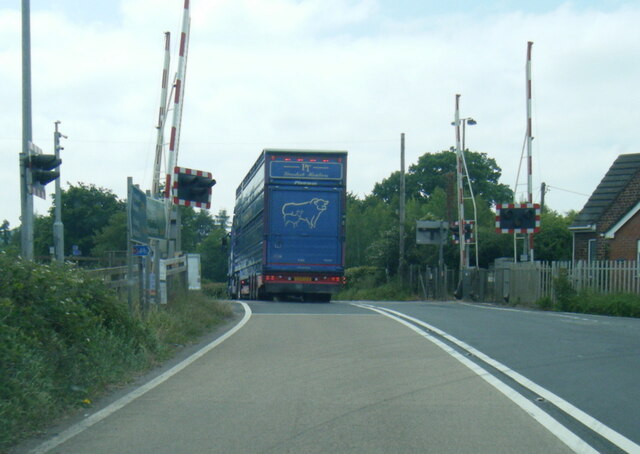
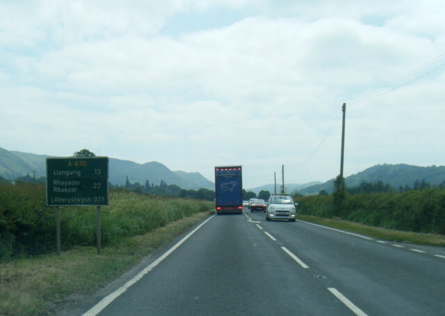
Allt y Gaer Images

Images are sourced within 2km of 52.505512/-3.400328 or Grid Reference SO0590. Thanks to Geograph Open Source API. All images are credited.

Farmland below Moel Iart The view extends into the Severn Valley, and you can see the plain around Caersws where three rivers converge.
Farmland below Moel Iart
The view extends into the Severn Valley, and you can see the plain around Caersws where three rivers converge.
Path at Cross Keys Having come from Cobblers Gate, this is back in civilisation with tarmac roads just ahead.
Path at Cross Keys
Having come from Cobblers Gate, this is back in civilisation with tarmac roads just ahead.
The aspect from Cross Keys with rainbow Looking out over the Severn Vslley.
The aspect from Cross Keys with rainbow
Looking out over the Severn Vslley.
Valley above Little London One of the numerous small valleys which run towards the Severn. A farm just below this view has the descriptive name Cwm.
Valley above Little London
One of the numerous small valleys which run towards the Severn. A farm just below this view has the descriptive name Cwm.
Horse near Penrhiw With a couple of companions, it is grazing on a hillside overlooking the Severn Valley.
Horse near Penrhiw
With a couple of companions, it is grazing on a hillside overlooking the Severn Valley.
Welsh farmer between fields He had made several trips back and forth, which included moving some bales.
Welsh farmer between fields
He had made several trips back and forth, which included moving some bales.
Upland fields below Bryn-helyg Part of the undulating plateau between Mochdre and Caersws.
Upland fields below Bryn-helyg
Part of the undulating plateau between Mochdre and Caersws.
Cefn-hir A farm above Llyfnant Brook which runs towards Newtown. Mochdre Brook is the larger river in the valley ahead.
Cefn-hir
A farm above Llyfnant Brook which runs towards Newtown. Mochdre Brook is the larger river in the valley ahead.
Sheep near Waen Most Welsh sheep run away more quickly than this.
Sheep near Waen
Most Welsh sheep run away more quickly than this.
Farm track to Werniog
Dyffryn Hafren Cefn Carnedd in the distance.
Dyffryn Hafren
Cefn Carnedd in the distance.
Black Bridge Lane near Caersws
A489 westbound at Red House Farm
A489 near Maesmawr Hotel
A470 level crossing south of Caersws
A470 at Ty Coch
A470 at Ty Coch
Farm track to building by River Severn
Caersŵs Crazy The (not very) crazy golf course at the Seasons Café on the outskirts of Caersŵs.
Caersŵs Crazy
The (not very) crazy golf course at the Seasons Café on the outskirts of Caersŵs.
Show me another place!

Allt y Gaer is located at Grid Ref: SO0590 (Lat: 52.505512, Lng: -3.400328)

Unitary Authority: Powys

Police Authority: Dyfed Powys

What 3 Words

///lawyer.surreal.safety. Near Mochdre, Powys

Related Wikis

Moat Lane Junction railway station

Moat Lane Junction was a railway junction in Montgomeryshire near to the village of Caersws in mid-Wales. It was the junction where the Newtown and Machynlleth...
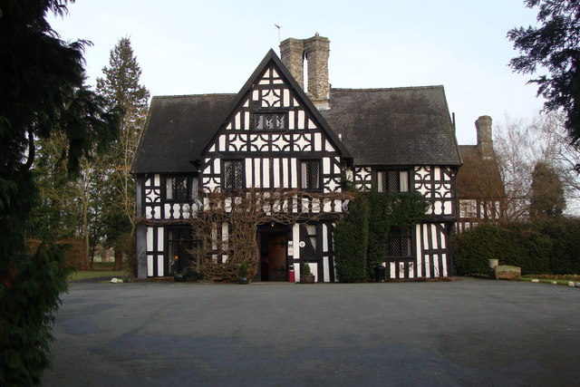
Maesmawr Hall

Maesmawr Hall is a historic timber-framed house, situated to the southeast of Caersws, in the historic county of Montgomeryshire, which now forms part...

Penstrowed

Penstrowed is a historic Montgomeryshire parish to the west of Newtown, now in the community of Mochdre with Penstrowed, Powys, Wales . == Description... ==

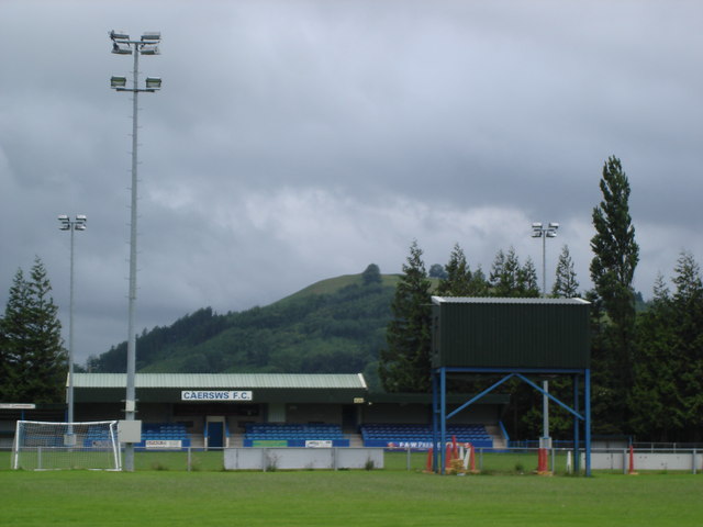
Recreation Ground, Caersws

Recreation Ground is a multi-use stadium in Caersws, Wales. It is currently used mostly for football matches and is the home ground of Caersws F.C. The...

Nearby Amenities

Located within 500m of 52.505512,-3.400328
Place: farm
Lat/Long: 52.5044829/-3.4063502
Place: farm
Lat/Long: 52.5022886/-3.3976384
Place: farm
Lat/Long: 52.5097724/-3.4011146
Direction: 215
Generator Method: photovoltaic
Generator Output Electricity: yes
Generator Solar Modules: 16
Generator Source: solar
Generator Type: solar_photovoltaic_panel
Location: roof
Power: generator
Lat/Long: 52.5022005/-3.3980155
The data included in this document is from www.openstreetmap.org. The data is made available under ODbL.

Have you been to Allt y Gaer?

Leave your review of Allt y Gaer below (or comments, questions and feedback).