Hailey
Settlement in Hertfordshire Broxbourne
England
Hailey
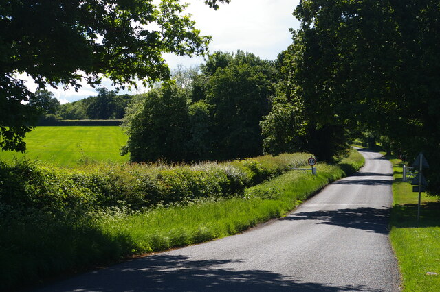
Hailey is a small village located in Hertfordshire, England. Situated about 3 miles west of the market town of Hertford, Hailey is part of the East Hertfordshire district. The village is nestled in the picturesque countryside and offers a peaceful and idyllic setting.
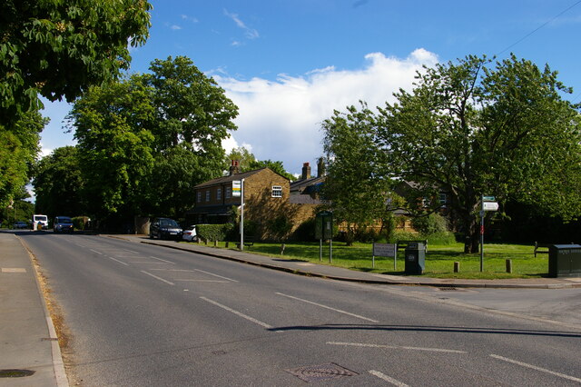
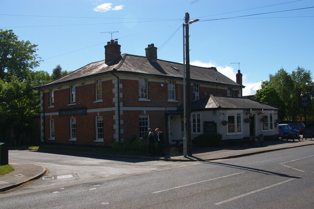
With a population of around 1,000 residents, Hailey exudes a strong sense of community. The village is characterized by its charming cottages and historic buildings, which give it a distinct and traditional English village feel. The local architecture reflects the village's rich history, with some buildings dating back several centuries.
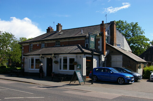
Hailey boasts several amenities that serve the needs of its residents and visitors. The village has a primary school, providing education for the local children. There is also a village hall, which serves as a hub for community activities and events. Additionally, Hailey has a small convenience store that caters to the daily needs of its residents.
The surrounding countryside offers ample opportunities for outdoor activities and exploration. Hailey is surrounded by rolling hills, meadows, and woodlands, making it an ideal location for those who enjoy walking, hiking, or cycling. The village is also close to several nature reserves, providing opportunities for birdwatching and wildlife spotting.
Overall, Hailey is a charming and tranquil village that offers a close-knit community, historic architecture, and beautiful natural surroundings. It is a place where residents can enjoy a peaceful lifestyle while being within easy reach of larger towns and cities in Hertfordshire.
If you have any feedback on the listing, please let us know in the comments section below.
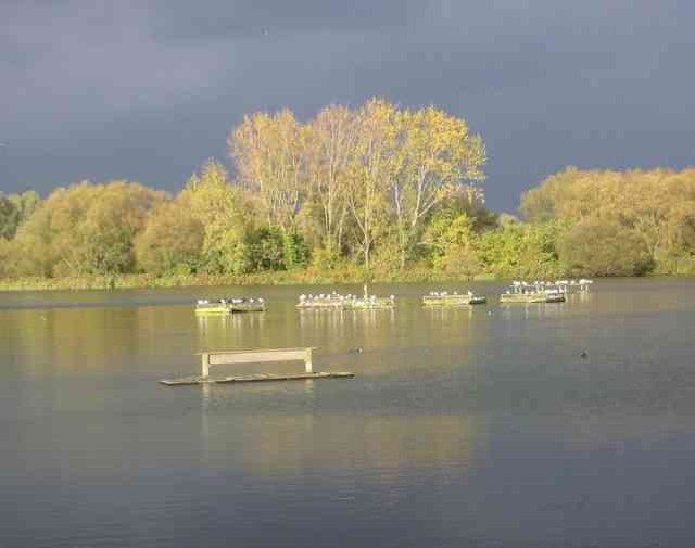
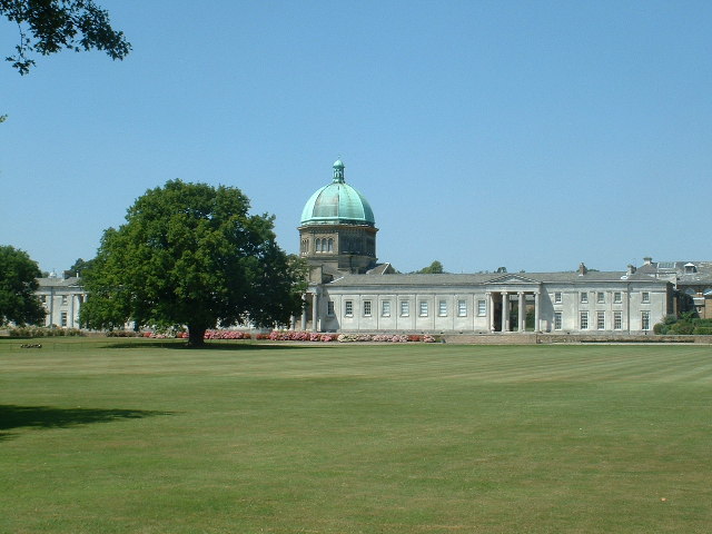
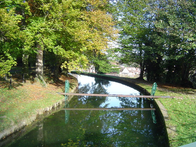
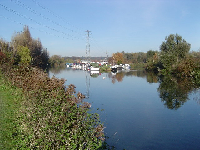
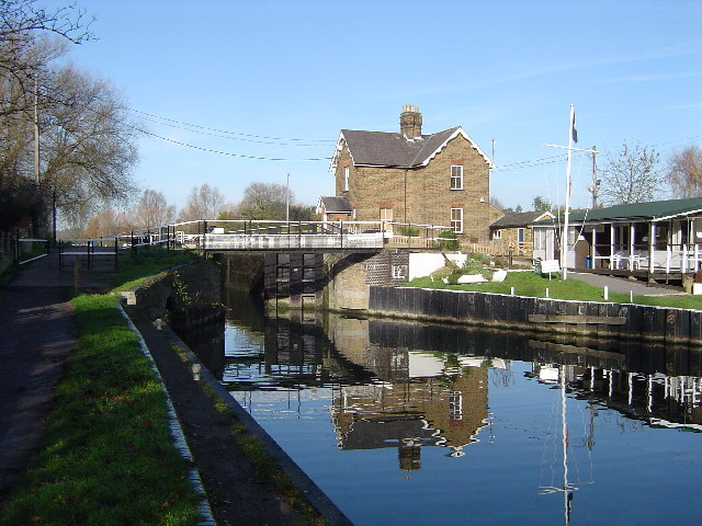
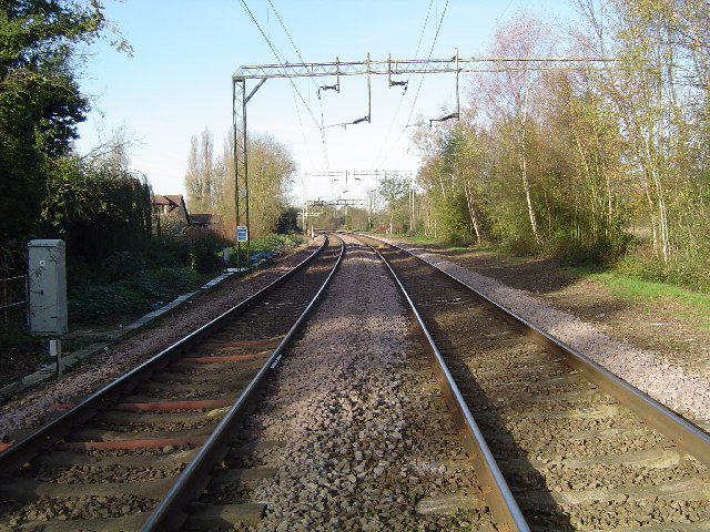
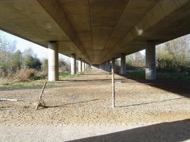
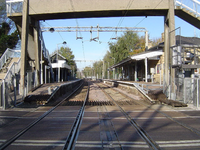
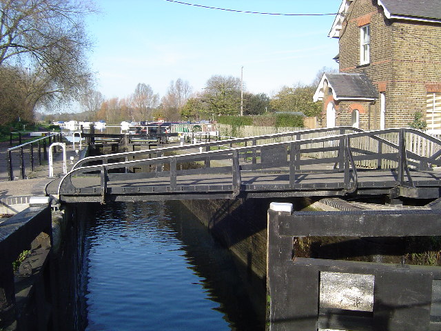
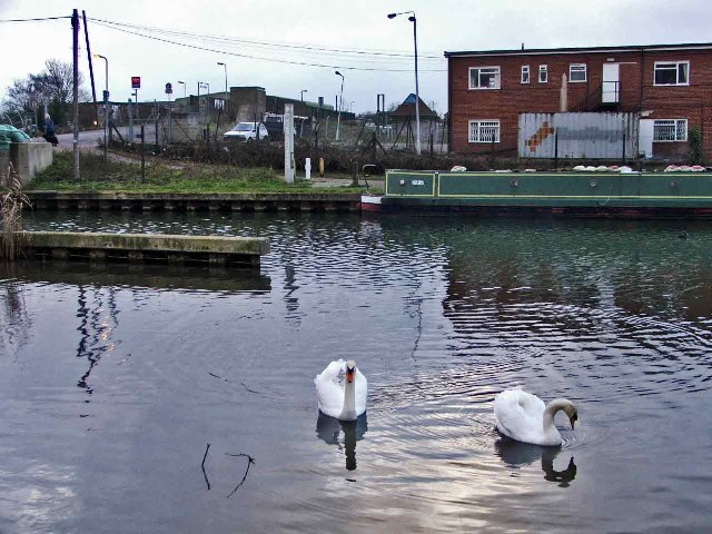
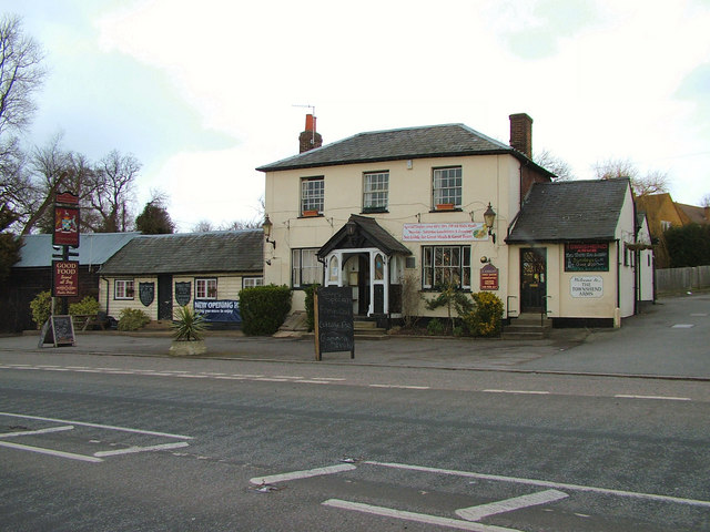
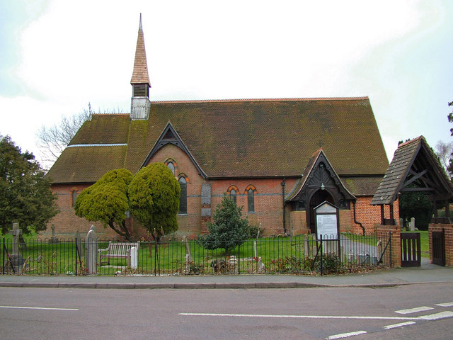
Hailey Images
Images are sourced within 2km of 51.780028/-0.019796 or Grid Reference TL3610. Thanks to Geograph Open Source API. All images are credited.
Hailey is located at Grid Ref: TL3610 (Lat: 51.780028, Lng: -0.019796)
Administrative County: Hertfordshire
District: Broxbourne
Police Authority: Hertfordshire
What 3 Words
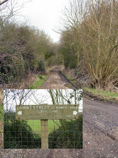
///heavy.oils.charge. Near Little Amwell, Hertfordshire
Nearby Locations
Related Wikis

Haileybury and Imperial Service College
Haileybury and Imperial Service College is an English co-educational independent boarding and day school for 11- to 18-year-olds near Hertford in England...

Hoddesdon Cemetery
Hoddesdon Cemetery is the burial ground for the town of Hoddesdon in Hertfordshire in the UK and is owned and maintained by the Borough of Broxbourne....

Hertford Heath nature reserve
Hertford Heath nature reserve is a 28 hectare biological Site of Special Scientific Interest in Hertford Heath in Hertfordshire. It is managed by the Herts...

Woollensbrook
Woollensbrook is a hamlet in Hertfordshire, England. It is in the town of Hoddesdon.
St. Margaretsbury F.C.
St. Margaretsbury Football Club is a football club based in Stanstead Abbotts, near Ware, Hertfordshire, England. They are currently members of the Eastern...
The John Warner School
The John Warner School is a secondary school with academy status for 11- to 18-year-olds in Hoddesdon, Hertfordshire, England. It is located on Stanstead...
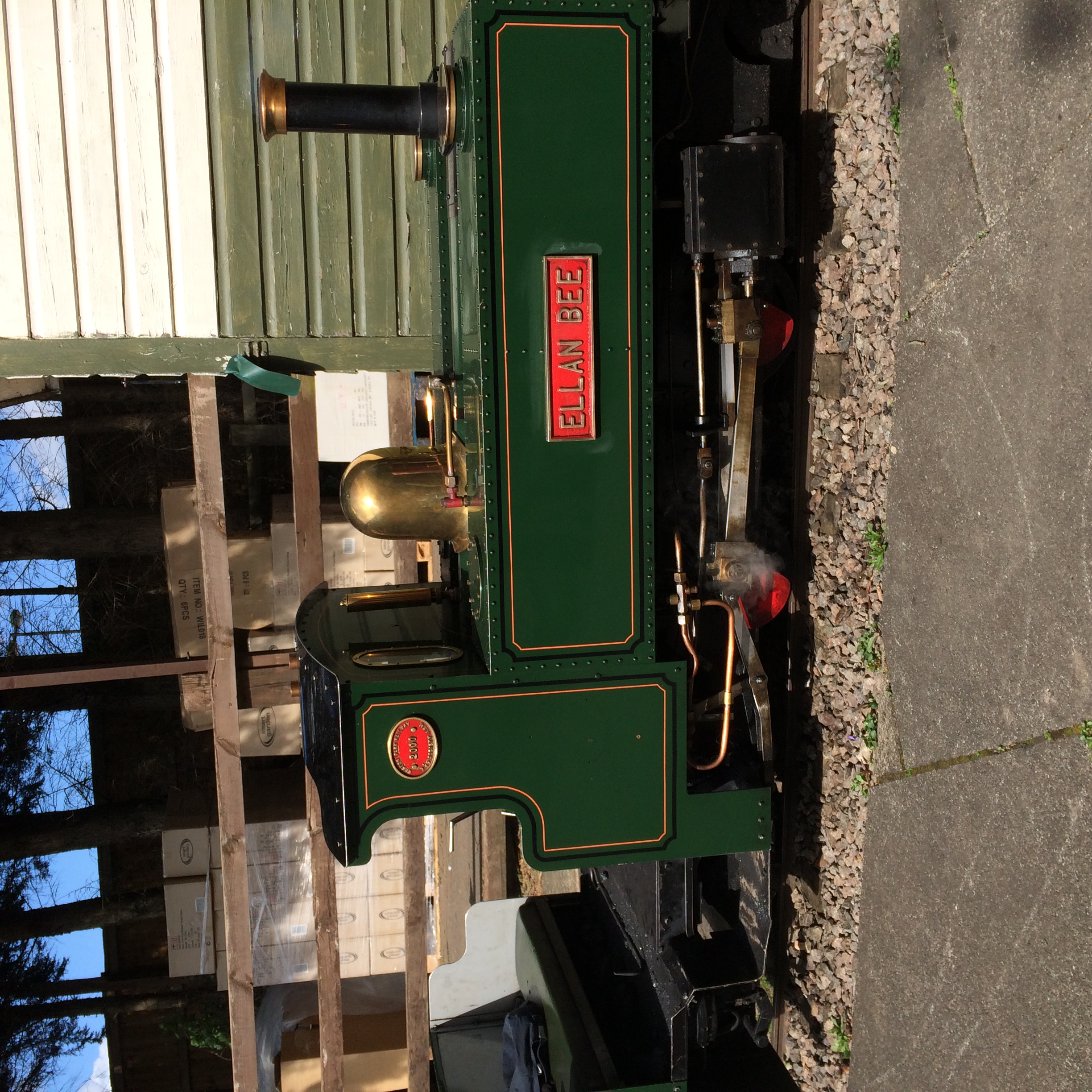
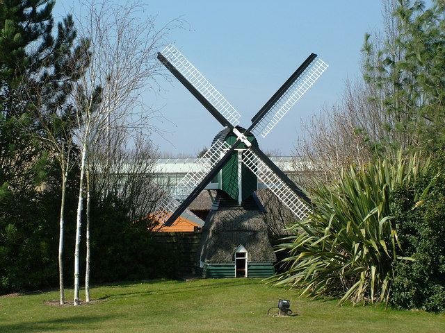
East Herts Miniature Railway
The East Herts Miniature Railway (EHMR) is situated in the Van Hage Garden Centre, Great Amwell near Ware, Hertfordshire. It opened in 1978 and by 2006...
Woollens Brook
Woollens Brook, a minor tributary of the River Lea, rises close to Ermine Street, south of Hertford Heath (51.7745°N 0.0410°W / 51.7745; -0.0410 (Woollens...
Nearby Amenities
Located within 500m of 51.780028,-0.019796Have you been to Hailey?
Leave your review of Hailey below (or comments, questions and feedback).