Hailey
Settlement in Oxfordshire South Oxfordshire
England
Hailey
Hailey is a small village located in Oxfordshire, England. Situated approximately 2 miles northwest of the market town of Witney, Hailey falls within the district of West Oxfordshire. With a population of around 1,000 residents, the village is known for its peaceful and picturesque countryside setting.
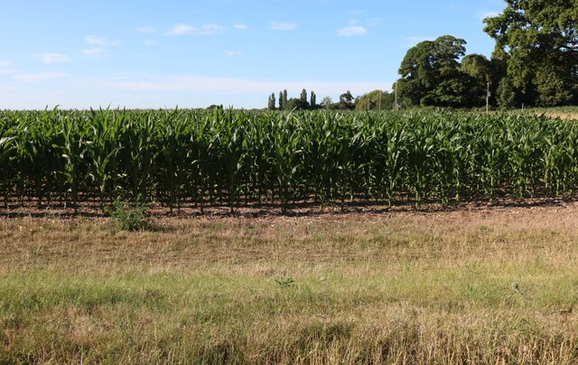
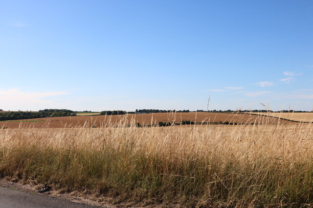
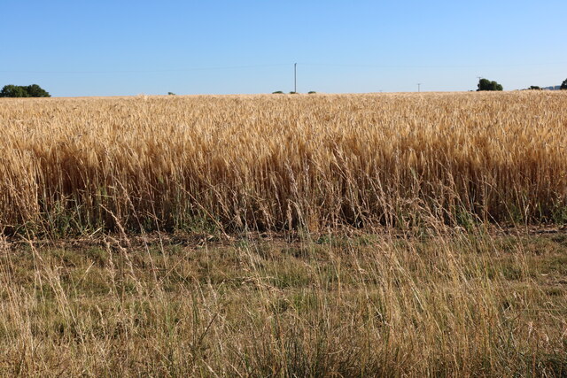
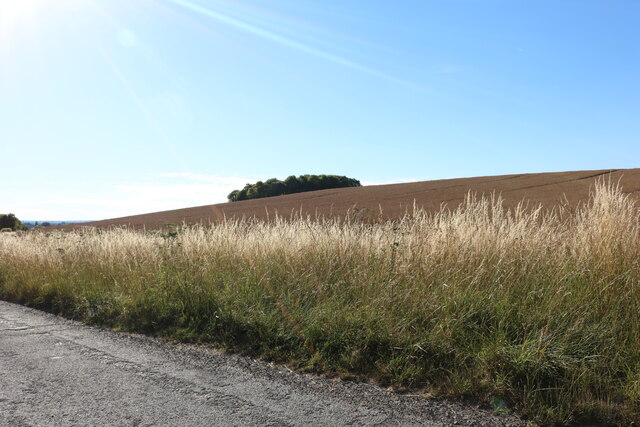
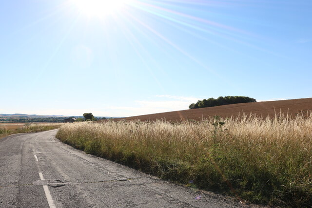
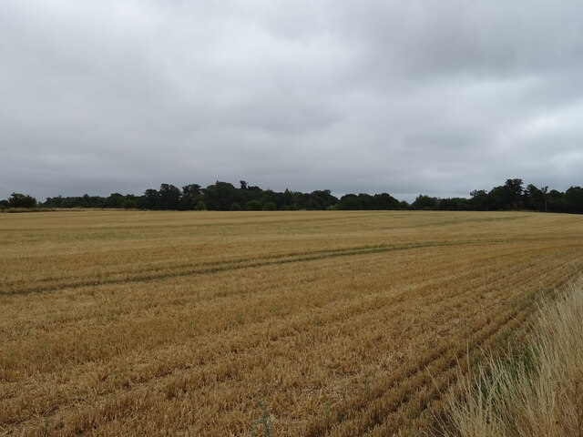
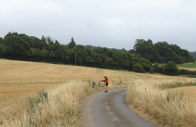
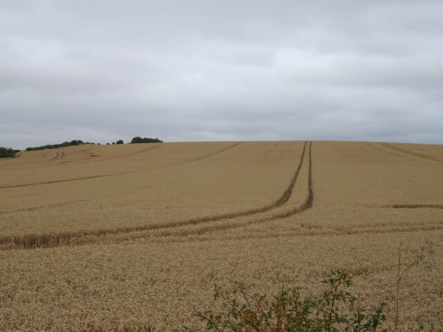
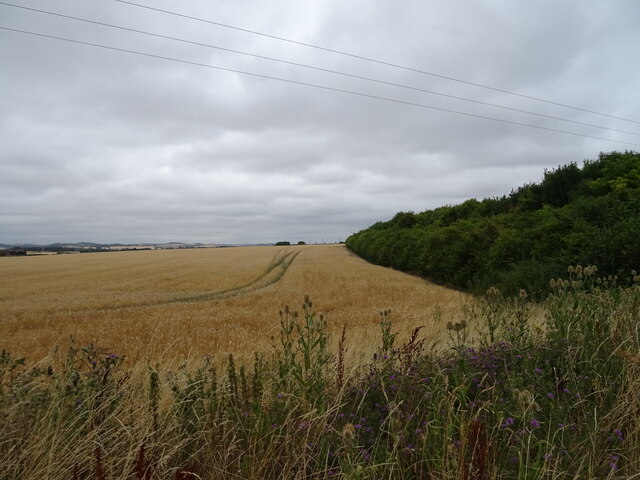
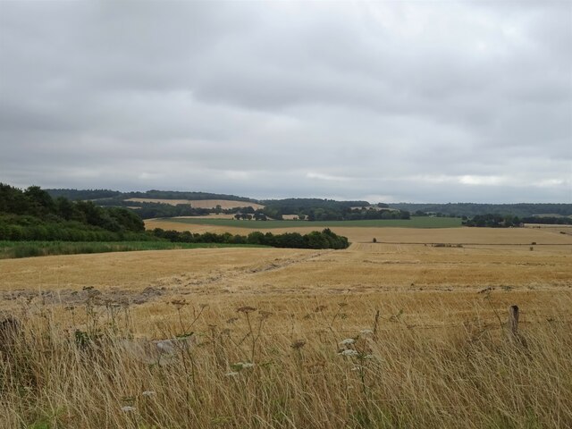
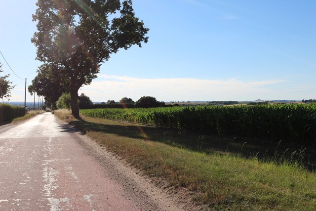
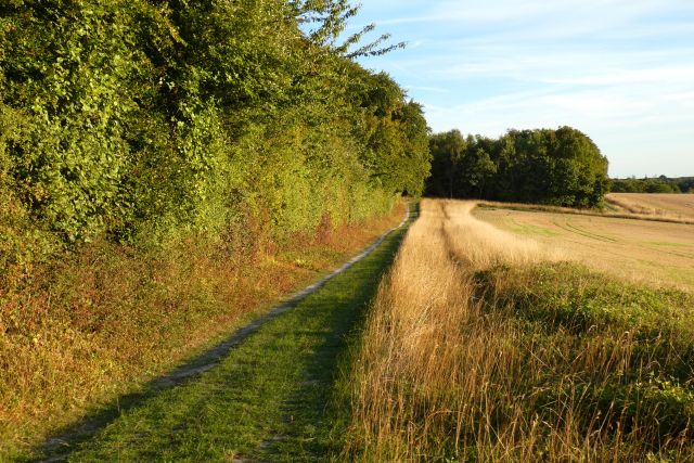
Hailey boasts a rich history, with evidence of human settlement dating back to the Iron Age. The village is surrounded by beautiful rolling hills and farmland, providing stunning views and a tranquil atmosphere. Its proximity to the Cotswolds, an Area of Outstanding Natural Beauty, makes Hailey an appealing destination for nature enthusiasts and hikers.
The village itself is characterized by quaint thatched cottages, a traditional village green, and a charming 12th-century parish church, St. John the Evangelist. The church is a notable architectural landmark, featuring a striking spire and stained glass windows. Hailey also has a primary school, providing education for local children.
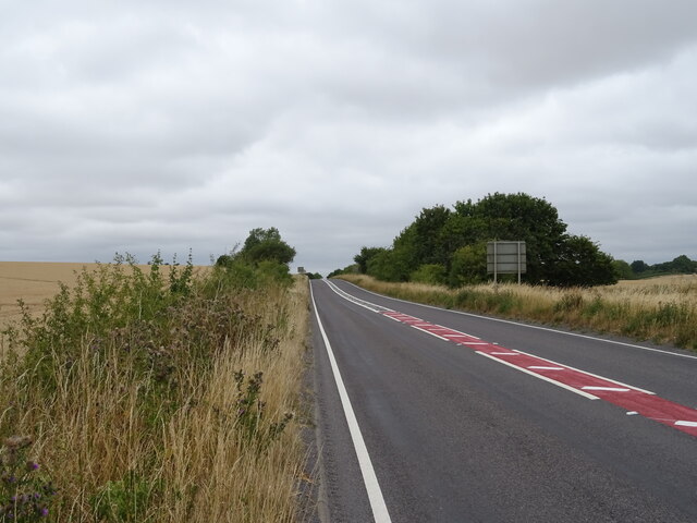
Though small, Hailey offers some amenities for its residents, including a community center, a village hall, and a pub. The village is surrounded by several larger towns, providing access to additional services and facilities. The nearby town of Witney offers a range of shops, supermarkets, restaurants, and leisure facilities, ensuring that residents have access to all necessary amenities.
Overall, Hailey is a peaceful and idyllic village, ideal for those seeking a countryside escape while still having access to nearby towns and amenities.
If you have any feedback on the listing, please let us know in the comments section below.
Hailey Images
Images are sourced within 2km of 51.568032/-1.078302 or Grid Reference SU6385. Thanks to Geograph Open Source API. All images are credited.
Hailey is located at Grid Ref: SU6385 (Lat: 51.568032, Lng: -1.078302)
Administrative County: Oxfordshire
District: South Oxfordshire
Police Authority: Thames Valley
What 3 Words
///reserved.interviewer.growth. Near Wallingford, Oxfordshire
Nearby Locations
Related Wikis

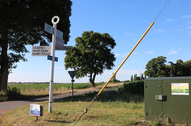
Ipsden
Ipsden is a village and civil parish in the Chiltern Hills in South Oxfordshire, about 3 miles (5 km) southeast of Wallingford. It is almost equidistant...

Warren Bank
Warren Bank is a 3.1-hectare (7.7-acre) biological Site of Special Scientific Interest south-east of Wallingford in Oxfordshire. It is managed by the Berkshire...

Braziers Park
Braziers Park is a Grade II* country house and estate on the edge of Ipsden - a small village near Wallingford, Oxfordshire, England - housing a secular...
Wood (festival)
Wood is an annual small early summer folk and roots music festival and environmental gathering, which takes place in Braziers Park, Ipsden near Wallingford...

Crowmarsh
Crowmarsh is a fairly large, mostly rural civil parish in the South Oxfordshire, district, in the county of Oxfordshire, England, east and southeast of...
Chiltern Park Aerodrome
Chiltern Park Aerodrome was a private airfield near Woodcote and Ipsden in Oxfordshire. It was within RAF Benson's Military Aerodrome Traffic Zone.The...
Ipsden Heath
Ipsden Heath is a 32-acre (13-hectare) woodland in the English county of Oxfordshire, within the Chiltern Area of Outstanding Natural Beauty. == References ==

North Stoke, Oxfordshire
North Stoke is a small village beside the River Thames in the civil parish of Crowmarsh, in the South Oxfordshire district, in the county of Oxfordshire...
Nearby Amenities
Located within 500m of 51.568032,-1.078302Have you been to Hailey?
Leave your review of Hailey below (or comments, questions and feedback).