Hail Weston

Settlement in Huntingdonshire Huntingdonshire

England

Hail Weston

Kimbolton Road near Hail Weston
Kimbolton Road near Hail Weston Credit: David Howard

Hail Weston is a small village located in the district of Huntingdonshire, in the county of Cambridgeshire, England. Situated approximately 10 miles west of Huntingdon, the village is nestled in the picturesque countryside of the East Midlands region.

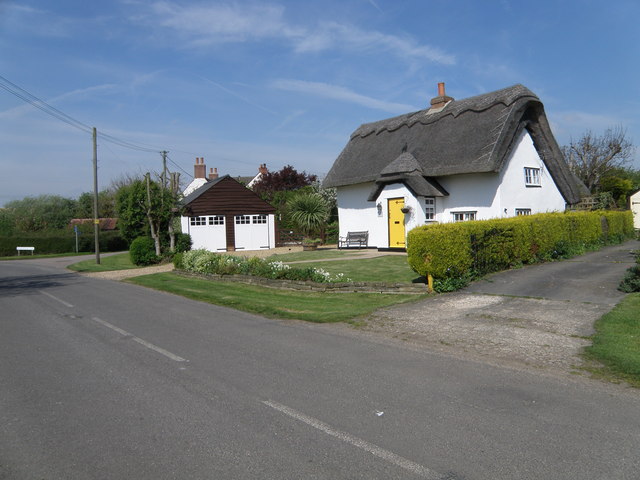
Despite its small size, Hail Weston boasts a rich history dating back to the medieval period. The village is mentioned in the Domesday Book of 1086, highlighting its long-standing presence in the area. Throughout the years, Hail Weston has retained much of its traditional charm, with several historic buildings still standing, including the 12th-century St. Nicholas Church.

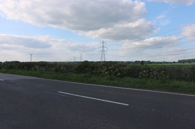
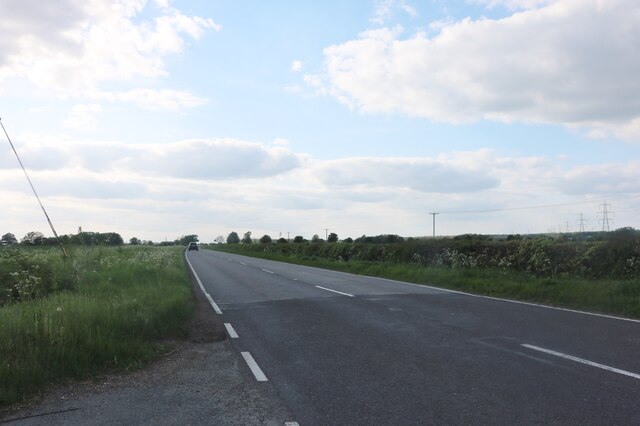
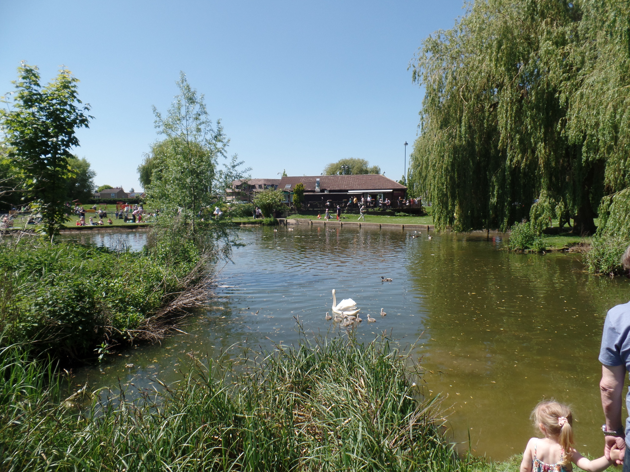
The village is primarily residential, with a population of around 400 people. The community is close-knit, and residents benefit from a peaceful and tranquil environment. Hail Weston is known for its beautiful surroundings, with rolling hills, lush green fields, and idyllic countryside views.

In terms of amenities, the village offers limited facilities, including a village hall that serves as a hub for social events and activities. There are no shops or pubs within the village itself, but nearby towns and villages provide essential services and amenities.

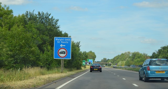
Hail Weston is well-situated for those seeking a rural lifestyle, as it provides easy access to larger towns and cities. The village is conveniently located near major road networks, including the A1 and A14, allowing residents to reach nearby destinations such as Huntingdon, Cambridge, and Peterborough with relative ease.

Overall, Hail Weston offers a charming and peaceful village setting, making it an attractive place to live for those seeking a rural retreat in the heart of Cambridgeshire.

If you have any feedback on the listing, please let us know in the comments section below.

Hail Weston Images

Images are sourced within 2km of 52.245491/-0.295855 or Grid Reference TL1662. Thanks to Geograph Open Source API. All images are credited.

Kimbolton Road near Hail Weston
Kimbolton Road, Hail Weston
Hail Weston : Parish Church of St Nicholas Grade II* listed - <span class="nowrap"><a title="https://historicengland.org.uk/listing/the-list/list-entry/1330437?section=official-list-entry" rel="nofollow ugc noopener" href="https://historicengland.org.uk/listing/the-list/list-entry/1330437?section=official-list-entry">Link</a><img style="margin-left:2px;" alt="External link" title="External link - shift click to open in new window" src="https://s1.geograph.org.uk/img/external.png" width="10" height="10"/></span>.
Hail Weston : Parish Church of St Nicholas
Grade II* listed - LinkExternal link.
Hail  Weston : tower, Parish Church of St Nicholas Grade II* listed - <span class="nowrap"><a title="https://historicengland.org.uk/listing/the-list/list-entry/1330437?section=official-list-entry" rel="nofollow ugc noopener" href="https://historicengland.org.uk/listing/the-list/list-entry/1330437?section=official-list-entry">Link</a><img style="margin-left:2px;" alt="External link" title="External link - shift click to open in new window" src="https://s1.geograph.org.uk/img/external.png" width="10" height="10"/></span>.
Hail Weston : tower, Parish Church of St Nicholas
Grade II* listed - LinkExternal link.
Little Paxton : River Kym ford
Parking area on the A1, St Neots Here is a previous visit. <a title="https://www.geograph.org.uk/photo/5654470" href="https://www.geograph.org.uk/photo/5654470">Link</a>
Parking area on the A1, St Neots
Here is a previous visit. Link
Parking area on the A1, St Neots
Field by the A1, St Neots
Crossroads and fields near Duloe
Houses at Duloe
Houses at Duloe
The Eaton Oak, St Neots
St Nicholas, Hail Weston The church dates from C13. The timber-framed tower was built in C14 and is the only remaining example of this in the country. See <span class="nowrap"><a title="http://www.britishlistedbuildings.co.uk/en-54358-parish-church-of-st-nicholas-hail-weston-#.VdTi-_lViko" rel="nofollow ugc noopener" href="http://www.britishlistedbuildings.co.uk/en-54358-parish-church-of-st-nicholas-hail-weston-#.VdTi-_lViko">Link</a><img style="margin-left:2px;" alt="External link" title="External link - shift click to open in new window" src="https://s1.geograph.org.uk/img/external.png" width="10" height="10"/></span> for entry in British Listed Buildings
St Nicholas, Hail Weston
The church dates from C13. The timber-framed tower was built in C14 and is the only remaining example of this in the country. See LinkExternal link for entry in British Listed Buildings
Ford through the River Kym The Kym is a tributary of the Great Ouse.
Ford through the River Kym
The Kym is a tributary of the Great Ouse.
Approaching the St Neots turning, A1 The A1 is the longest numbered road in the UK at 410 miles long. It connects London with Edinburgh, via the east of England. 
For much of its path it follows the Great North Road the old coaching route between London and Edinburgh. Several sections of the route are classified as motorway A1(M). The modern A1 bypasses the towns the Great North Road passed through and is dual carriageway for most of its route through England.
Approaching the St Neots turning, A1
The A1 is the longest numbered road in the UK at 410 miles long. It connects London with Edinburgh, via the east of England. For much of its path it follows the Great North Road the old coaching route between London and Edinburgh. Several sections of the route are classified as motorway A1(M). The modern A1 bypasses the towns the Great North Road passed through and is dual carriageway for most of its route through England.
A1, northbound The A1 is the longest numbered road in the UK at 410 miles long. It connects London with Edinburgh, via the east of England. 
For much of its path it follows the Great North Road the old coaching route between London and Edinburgh. Several sections of the route are classified as motorway A1(M). The modern A1 bypasses the towns the Great North Road passed through and is dual carriageway for most of its route through England.
A1, northbound
The A1 is the longest numbered road in the UK at 410 miles long. It connects London with Edinburgh, via the east of England. For much of its path it follows the Great North Road the old coaching route between London and Edinburgh. Several sections of the route are classified as motorway A1(M). The modern A1 bypasses the towns the Great North Road passed through and is dual carriageway for most of its route through England.
Show me another place!

Hail Weston is located at Grid Ref: TL1662 (Lat: 52.245491, Lng: -0.295855)

Administrative County: Cambridgeshire

District: Huntingdonshire

Police Authority: Cambridgeshire

What 3 Words

///boarding.intestine.solve. Near Little Paxton, Cambridgeshire

Nearby Locations

Hail Weston

Related Wikis

The Royal Oak, Hail Weston

The Royal Oak is a 17th-century pub in the village of Hail Weston, Cambridgeshire (historically Huntingdonshire). It is the last remaining pub in the village...

Hail Weston

Hail Weston is a village and civil parish in Cambridgeshire, England. Hail Weston lies approximately 7 miles (11 km) south of Huntingdon. Hail Weston is...

Little Paxton Wood

Little Paxton Wood is a 44.1-hectare biological Site of Special Scientific Interest west of Little Paxton in Cambridgeshire.This ancient wood is wet ash...

Duloe, Bedfordshire

Duloe is a hamlet in the English county of Bedfordshire. A former spelling of the name may be "Devylho" or "Deuylho", as seen in 1460, in a legal record...

River Kym

The River Kym is a river in Cambridgeshire, England. It flows through the village of Tilbrook, to Kimbolton, and joins the Great Ouse at St Neots. It is...

St Neots Common

St Neots Common is a 33.4-hectare (83-acre) biological Site of Special Scientific Interest in St Neots in Cambridgeshire.This site on the east bank of...

Eaton Ford

Eaton Ford is an area of St Neots, Cambridgeshire, England. It is a mainly residential area also containing Riverside Park, a large area of riverside parkland...

St Neots

St Neots is a town and civil parish in the Huntingdonshire district of Cambridgeshire, England. It is 18 miles (29 km) west of Cambridge. The areas of...

Nearby Amenities

Located within 500m of 52.245491,-0.295855
Hail Weston
Place: village
Lat/Long: 52.2448896/-0.2948642
Entrance: yes
Lat/Long: 52.2449502/-0.2944769
Post Box
Post Box Type: lamp
Postal Code: PE19
Ref: PE19 158
Source: survey
Lat/Long: 52.2441038/-0.2938899
Public Bookcase
Hail Weston Phone Box Library & Book Exchange
Booth: K6
Disused Amenity: telephone
Listed Status: Grade II
Man Made: telephone_box
Public Bookcase Type: phone_box
Lat/Long: 52.246141/-0.2987332
Post Box
Brand: Royal Mail
Brand Wikidata: Q638098
Operator: Royal Mail
Operator Wikidata: Q638098
Post Box Type: lamp
Royal Cypher: EIIR
Royal Cypher Wikidata: Q33102113
Lat/Long: 52.2461497/-0.2987741
Bus Stop
Green Lane
Bus: yes
Naptan AtcoCode: 0500HHAIL001
Naptan Bearing: W
Naptan BusStopType: CUS
Naptan CommonName: Green Lane
Naptan Indicator: near
Naptan Landmark: Green Lane
Naptan NaptanCode: cmbdpdmg
Naptan ShortCommonName: Green Lane
Naptan Street: High Street
Naptan Verified: no
Public Transport: platform
Source: naptan_import
Lat/Long: 52.2462824/-0.2994622
Bus Stop
Ford End
Bus: yes
Naptan AtcoCode: 0500HHAIL002
Naptan Bearing: W
Naptan BusStopType: CUS
Naptan CommonName: Ford End
Naptan Indicator: near
Naptan Landmark: Ford End
Naptan NaptanCode: cmbdpdmj
Naptan ShortCommonName: Ford End
Naptan Street: High Street
Naptan Verified: no
Public Transport: platform
Source: naptan_import
Lat/Long: 52.2454005/-0.2949386
Bus Stop
Green Lane
Bus: yes
Naptan AtcoCode: 0500HHAIL003
Naptan Bearing: SE
Naptan CommonName: Green Lane
Naptan Indicator: opp
Naptan Landmark: Green Lane
Naptan NaptanCode: cmbdpdmp
Naptan ShortCommonName: Green Lane
Naptan Street: High Street
Naptan Verified: no
Public Transport: platform
Shelter: yes
Source: naptan_import
Lat/Long: 52.2463357/-0.2994162
Bus Stop
Ford End
Bus: yes
Naptan AtcoCode: 0500HHAIL004
Naptan Bearing: E
Naptan BusStopType: CUS
Naptan CommonName: Ford End
Naptan Indicator: opp
Naptan Landmark: Ford End
Naptan NaptanCode: cmbdpdmt
Naptan ShortCommonName: Ford End
Naptan Street: High Street
Naptan Verified: no
Public Transport: platform
Shelter: no
Source: naptan_import
Lat/Long: 52.2455498/-0.2952843
Turning Circle
Lat/Long: 52.2442324/-0.2922733
Power: pole
Lat/Long: 52.2479699/-0.2971137
Power: pole
Lat/Long: 52.24729/-0.296073
Power: pole
Lat/Long: 52.2486875/-0.2982215
Power: pole
Lat/Long: 52.2435646/-0.2898476
Power: pole
Lat/Long: 52.2454384/-0.2922937
Power: pole
Lat/Long: 52.244228/-0.2905785
Power: pole
Lat/Long: 52.2450106/-0.2914797
Turning Loop
Lat/Long: 52.2454402/-0.2930851
Defibrillator
Defibrillator Location: on outside of red phone box, High Street, Hail Weston
Emergency: defibrillator
Indoor: no
Lat/Long: 52.2461398/-0.2987292
Bench
Lat/Long: 52.2461617/-0.2988133
Man Made: village_sign
Lat/Long: 52.2451961/-0.2944422
Historic: milestone
Inscription: 57 miles from London. Hail Weston
Wikidata: Q66479463
Lat/Long: 52.2427277/-0.2958208
Playground: slide
Lat/Long: 52.2440555/-0.2909042
The data included in this document is from www.openstreetmap.org. The data is made available under ODbL.

Have you been to Hail Weston?

Leave your review of Hail Weston below (or comments, questions and feedback).