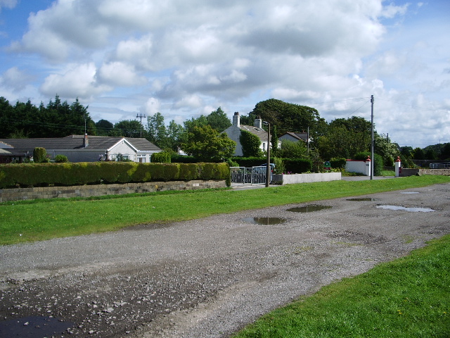
Curwen Park
Downs, Moorland in Cumberland Allerdale
England
Curwen Park

Curwen Park is a picturesque region located in Cumberland, England. Situated amidst the stunning Cumberland Downs and Moorland, this park is a haven for nature enthusiasts and outdoor adventurers. Spanning over a vast area, the park offers a diverse range of landscapes, from rolling hills and sprawling meadows to dense woodlands and serene lakes.
The Cumberland Downs, with their gently undulating terrain, provide breathtaking panoramic views of the surrounding countryside. Visitors can indulge in leisurely walks or challenging hikes along the well-marked trails that crisscross the downs, taking in the stunning vistas along the way. The downs are also home to a variety of wildlife, including deer, foxes, and a rich bird population, making it a popular spot for birdwatching.
The Moorland area of Curwen Park offers a unique and rugged landscape, characterized by vast expanses of open heath, scattered with gorse and heather. This untamed terrain is a paradise for adventure seekers, with opportunities for mountain biking, horseback riding, and off-road exploration. The moorland is also known for its archaeological significance, with ancient burial mounds and standing stones dotting the landscape, providing a glimpse into the area's rich history.
Additionally, Curwen Park boasts several serene lakes and ponds, perfect for fishing or simply unwinding amidst the tranquility of nature. Anglers can try their luck at catching trout or pike, while families can enjoy picnics by the water's edge.
Overall, Curwen Park in Cumberland offers a diverse range of natural wonders and outdoor activities, making it an idyllic destination for nature lovers and adventure enthusiasts alike.
If you have any feedback on the listing, please let us know in the comments section below.
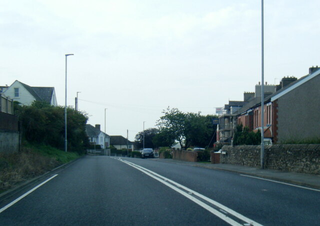
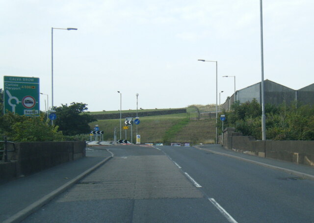
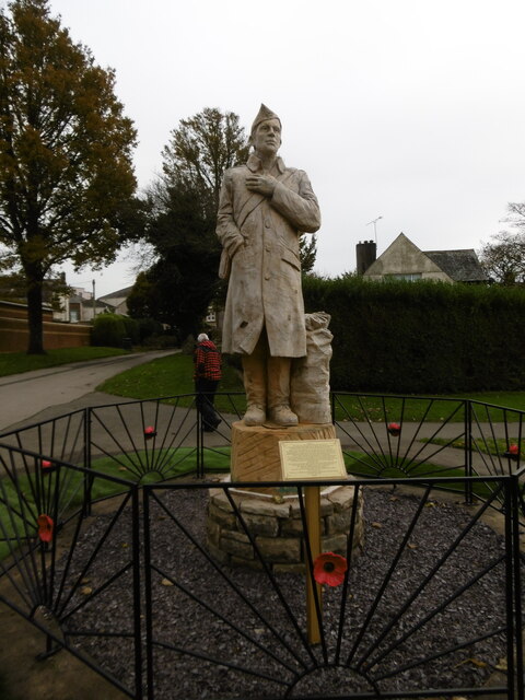
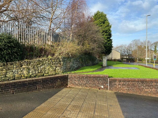
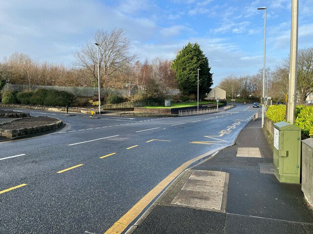
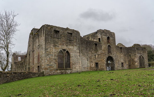
Curwen Park Images
Images are sourced within 2km of 54.645112/-3.5338133 or Grid Reference NY0128. Thanks to Geograph Open Source API. All images are credited.


Curwen Park is located at Grid Ref: NY0128 (Lat: 54.645112, Lng: -3.5338133)
Administrative County: Cumbria
District: Allerdale
Police Authority: Cumbria
What 3 Words
///dragonfly.knee.defensive. Near Workington, Cumbria
Nearby Locations
Related Wikis

Workington Hall
Workington Hall, sometimes called Curwen Hall, is a ruined building on the Northeast outskirts of the town of Workington in Cumbria. It is a Grade I listed...

Workington Academy
Workington Academy is a mixed secondary school in Workington, Cumbria that was formed in September 2015 as a result of the merger of Southfield Technology...

Barker Crossing
Barker Crossing was a pedestrian footbridge in Workington, Cumbria, England that crossed the River Derwent, and linked the north and south sides of the...
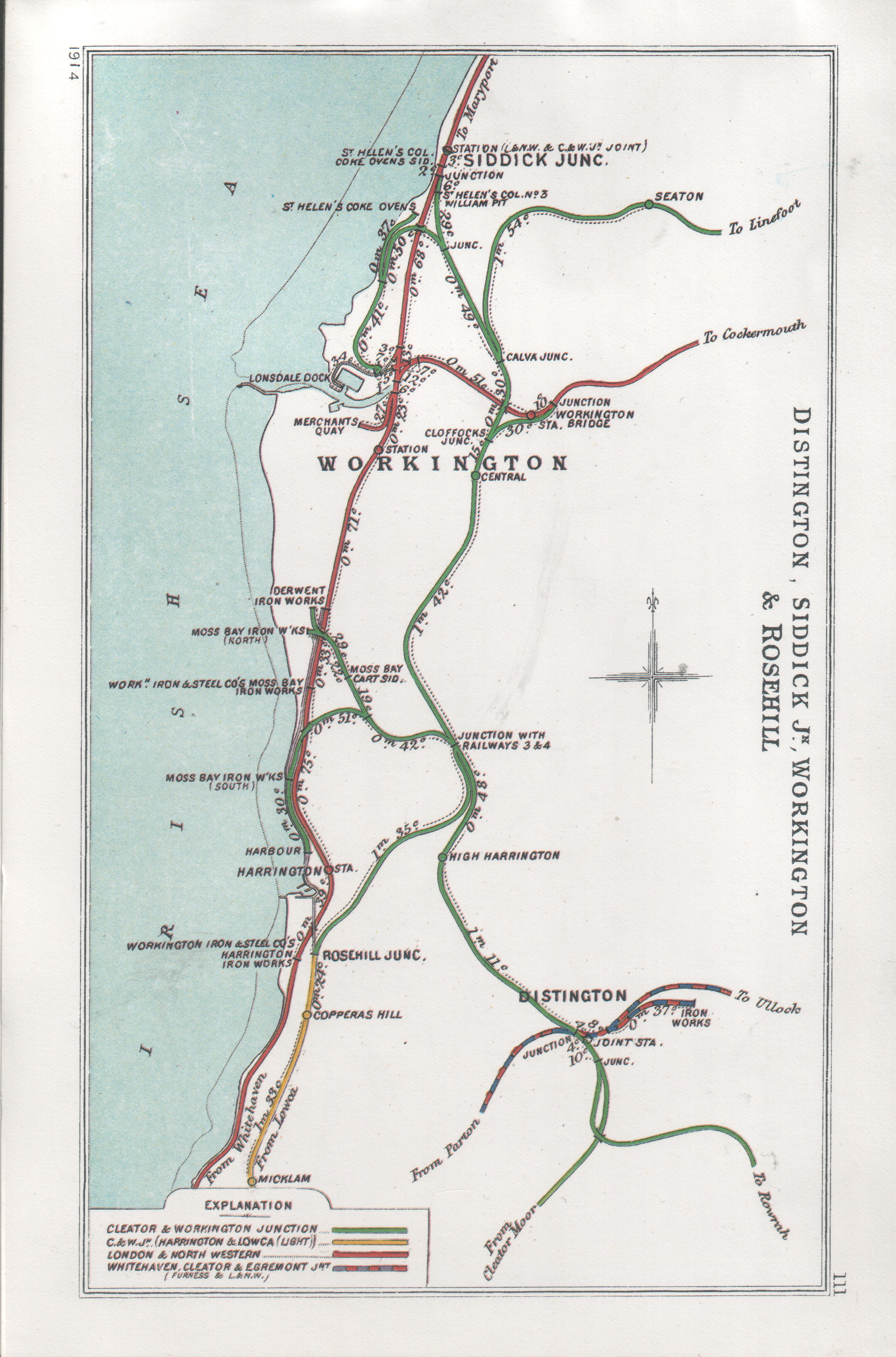
Workington Bridge railway station
Workington Bridge railway station was situated at the northern end of Workington Bridge next to the River Derwent, and was originally served by the Cockermouth...
Barepot
Barepot is a village in Cumbria, England. As Workington and Seaton grew, Barepot and also Seaton became districts of Workington. Barepot has about 70 houses...
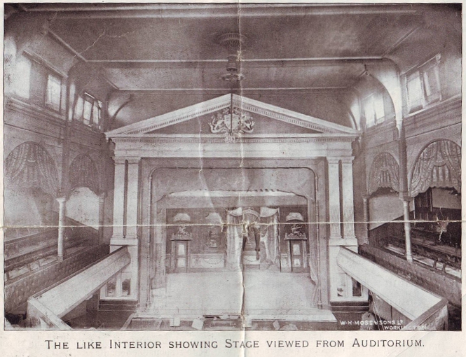
Workington Opera House
The Workington Opera House, or The Opera as it was known, is a purpose built theatre located in Workington, Cumbria, England. Originally built as the Queen...
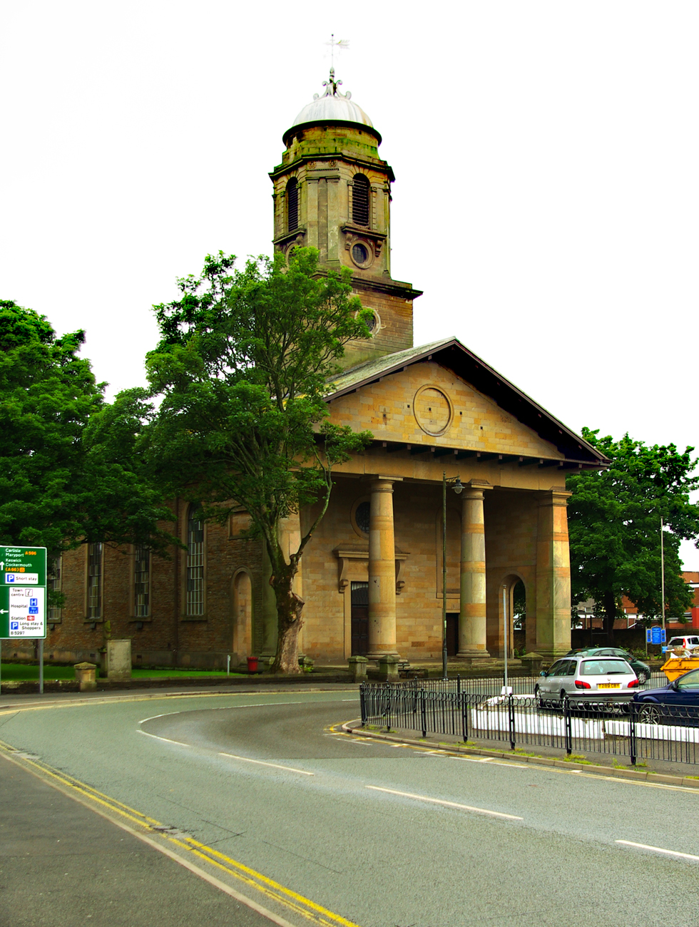
St John's Church, Workington
St John's Church is in Washington Street, Workington, Cumbria, England. It is an active Anglican parish church in the deanery of Solway, the archdeaconry...

Stainburn, Cumbria
Stainburn is a settlement and former civil parish about 7 miles from Whitehaven, now in the parish of Workington, in the county of Cumbria, England. In...
Nearby Amenities
Located within 500m of 54.645112,-3.5338133Have you been to Curwen Park?
Leave your review of Curwen Park below (or comments, questions and feedback).