Barr Covert
Downs, Moorland in Dumfriesshire
Scotland
Barr Covert

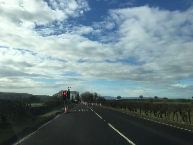
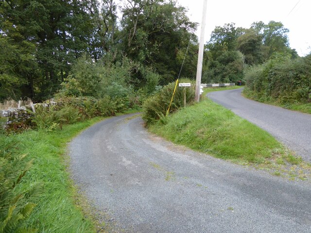
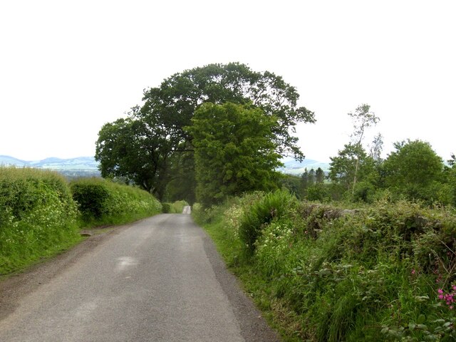
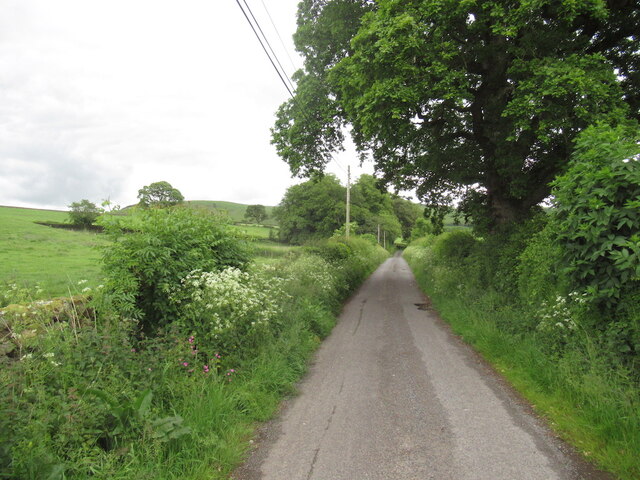
Barr Covert is a picturesque area located in Dumfriesshire, Scotland. It is renowned for its stunning landscape and diverse wildlife, making it a popular destination for nature enthusiasts and outdoor adventurers. Situated in the heart of the region, Barr Covert is surrounded by rolling downs and vast moorland, providing breathtaking views of the surrounding countryside.
The downs in Barr Covert offer a unique mix of grassy slopes and shallow valleys, creating a variety of habitats for a range of plant and animal species. Visitors can expect to see vibrant wildflowers, including heather and gorse, which add a burst of color to the landscape. The downs are also home to several bird species, such as skylarks and meadow pipits, filling the air with their melodious songs.
Moving towards the moorland, visitors will be captivated by the rugged beauty of this vast expanse. The moorland is characterized by its heathland vegetation, dominated by heather and mosses. It provides a haven for numerous animals, including red grouse, mountain hares, and various species of birds of prey, such as kestrels and buzzards.
For those seeking outdoor activities, Barr Covert offers a range of opportunities. Hiking and walking trails crisscross the area, allowing visitors to explore the downs and moorland at their own pace. The terrain also provides ideal conditions for wildlife watching, photography, and even picnicking amidst the serene surroundings.
Barr Covert in Dumfriesshire truly showcases the natural beauty of the Scottish countryside, making it a must-visit destination for those seeking tranquility and a chance to connect with nature.
If you have any feedback on the listing, please let us know in the comments section below.
Barr Covert Images
Images are sourced within 2km of 55.134523/-3.5577514 or Grid Reference NY0083. Thanks to Geograph Open Source API. All images are credited.


Barr Covert is located at Grid Ref: NY0083 (Lat: 55.134523, Lng: -3.5577514)
Unitary Authority: Dumfries and Galloway
Police Authority: Dumfries and Galloway
What 3 Words
///tweezers.backtrack.insect. Near Locharbriggs, Dumfries & Galloway
Nearby Locations
Related Wikis

Amisfield
Amisfield is a village in Dumfries and Galloway, Scotland. It is located about 5 miles north of Dumfries and next to the A701 Dumfries to Edinburgh road...

Amisfield railway station
Amisfield railway station was a station which served Amisfield, in the Scottish county of Dumfries and Galloway. It was served by trains on a local line...
Tinwald, Dumfries and Galloway
Tinwald is a village in Dumfries and Galloway, south-west Scotland, lying a little north of Locharbriggs outside Dumfries. Tinwald is also the name of...

Shieldhill railway station
Shieldhill railway station was a station which served Shieldhill, in the Scottish county of Dumfries and Galloway. It was served by trains on a local line...
Nearby Amenities
Located within 500m of 55.134523,-3.5577514Have you been to Barr Covert?
Leave your review of Barr Covert below (or comments, questions and feedback).