Achreamie Moss
Downs, Moorland in Caithness
Scotland
Achreamie Moss
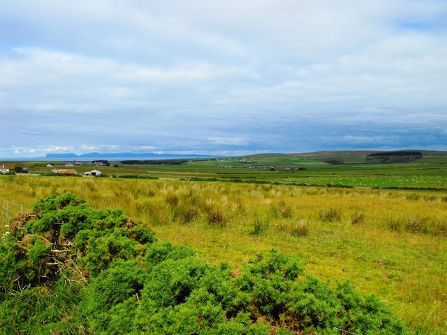
Achreamie Moss is a vast expanse of diverse and captivating natural beauty situated in the county of Caithness, Scotland. This enchanting mossland, spanning approximately 15 square kilometers, is characterized by its unique combination of downs and moorland, offering a rich tapestry of landscapes to explore.
The mossland is predominantly covered with a thick layer of peat, which has been formed over thousands of years. This peat acts as a natural sponge, retaining water and creating a unique habitat for a variety of plant and animal species. The mossland is home to a plethora of heather, cotton grass, and sphagnum mosses, which create a vibrant and colorful scenery throughout the year.
Achreamie Moss is also renowned for its diverse wildlife population. The area provides a haven for numerous bird species, including curlews, golden plovers, and red grouse, which can be spotted soaring across the open skies. Additionally, the mossland is known to house a range of rare insects and amphibians, making it a significant ecological site.
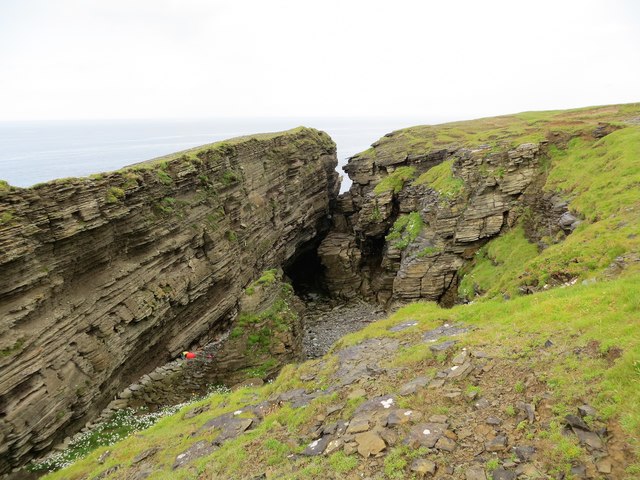
Visitors to Achreamie Moss can indulge in a multitude of outdoor activities, such as hiking, birdwatching, and photography. The mossland offers several trails and paths that allow visitors to navigate through its picturesque surroundings while discovering its unique flora and fauna.
Overall, Achreamie Moss is a captivating natural gem, offering a tranquil retreat for nature enthusiasts, photographers, and those seeking an escape from the hustle and bustle of everyday life. Its diverse landscapes and thriving wildlife make it an ideal destination for exploring and immersing oneself in the beauty of Caithness.
If you have any feedback on the listing, please let us know in the comments section below.
Achreamie Moss Images
Images are sourced within 2km of 58.577646/-3.7140676 or Grid Reference ND0066. Thanks to Geograph Open Source API. All images are credited.


Achreamie Moss is located at Grid Ref: ND0066 (Lat: 58.577646, Lng: -3.7140676)
Unitary Authority: Highland
Police Authority: Highlands and Islands
What 3 Words
///shining.nation.promoting. Near Reay, Highland
Nearby Locations
Related Wikis

Buldoo
Buldoo (Scottish Gaelic:) in the far north of Scotland, is a small hamlet 0.5 miles south of Dounreay in Thurso, Caithness, Scottish Highlands and is...

RAF Dounreay
RAF Dounreay was built for RAF Coastal Command in 1944, but not used by them. It was transferred to the Royal Navy as HMS Tern II, but not commissioned...
Achreamie
Achreamie is a village in the Scottish council area of Highland. Achreamie is about 6 miles (9.7 km) west of Thurso and is less than two miles from the...

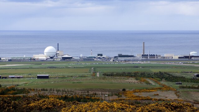
Dounreay
Dounreay (; Scottish Gaelic: Dùnrath) is a small settlement and the site of two large nuclear establishments on the north coast of Caithness in the Highland...
Dounreay Castle
Dounreay Castle is a ruined 16th-century L-plan castle, about 8 miles (13 km) west of Thurso, Highland (council area), Scotland, within the grounds of...
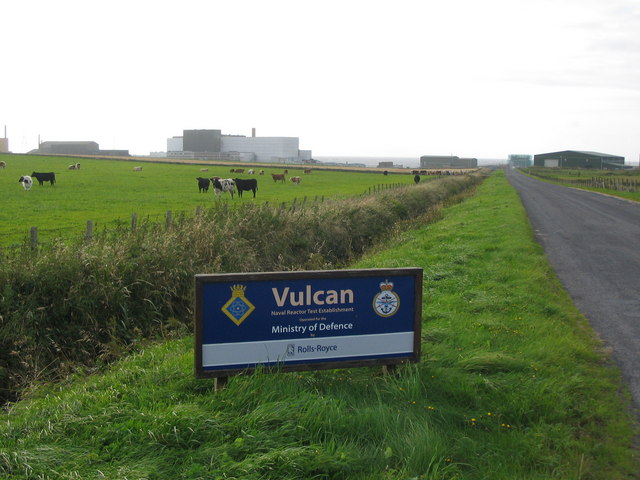
Vulcan Naval Reactor Test Establishment
Vulcan Naval Reactor Test Establishment (NRTE), formerly HMS Vulcan, is a UK Ministry of Defence (MoD) establishment in Scotland, operated by Rolls-Royce...

Achvarasdal
Achvarasdal (from the Norse placename meaning "Barr's valley", with the later, post 13th century addition of the Gaelic Ach-/Achadh- meaning "field") is...
Shebster
Shebster is a small remote hamlet, which lies 7 miles southwest of Thurso, in northern Caithness, Scottish Highlands and is in the Scottish council area...
Nearby Amenities
Located within 500m of 58.577646,-3.7140676Have you been to Achreamie Moss?
Leave your review of Achreamie Moss below (or comments, questions and feedback).