Amisfield Moor

Downs, Moorland in Dumfriesshire

Scotland

Amisfield Moor

Rowing up Getting in the silage off Blairhall Lane near Amisfield.
Rowing up Credit: Richard Webb

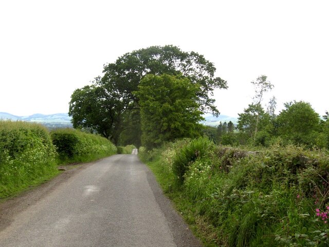
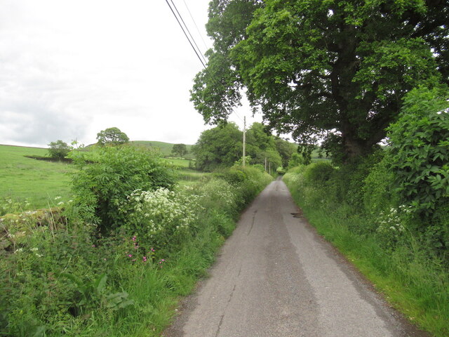
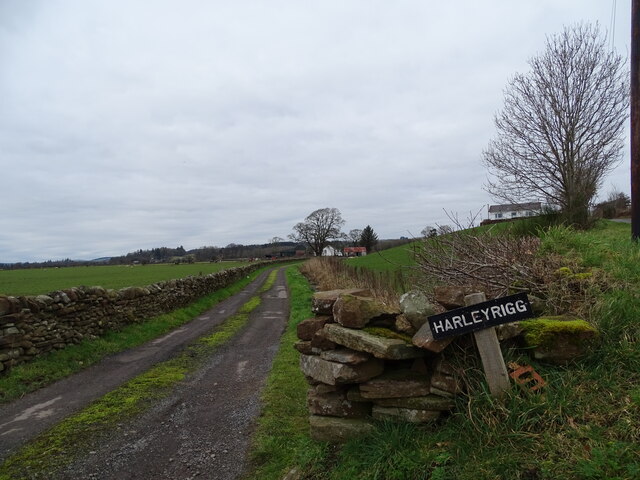
Amisfield Moor is a vast expanse of downs and moorland located in Dumfriesshire, Scotland. Stretching over an area of approximately 10 square kilometers, it is a significant natural feature in the region. The moor is situated in a rural setting, surrounded by picturesque landscapes and rolling hills.

The terrain of Amisfield Moor is characterized by undulating hills covered in heather and grasses, interspersed with scattered patches of bracken and gorse. The area is known for its diverse flora and fauna, with various species of birds, insects, and small mammals making it their home. The moorland provides a vital habitat for these creatures and supports a delicate ecosystem.

The moorland is also rich in archaeological and historical significance. Numerous prehistoric sites, including burial mounds and stone circles, can be found scattered across the landscape, offering glimpses into the area's ancient past. Additionally, remnants of old farmsteads and other structures from the 18th and 19th centuries can be discovered, providing insights into the area's agricultural heritage.

Amisfield Moor offers visitors a serene and tranquil environment, ideal for walking, hiking, and nature observation. Its expansive views and untouched wilderness provide a sense of escape from the bustling urban life. The moorland is a popular destination for outdoor enthusiasts, photographers, and nature lovers, seeking to explore and appreciate the beauty of the Scottish countryside.

Overall, Amisfield Moor is a captivating natural landscape, blending history, wildlife, and stunning scenery. It serves as a testament to the rich natural and cultural heritage of Dumfriesshire and provides a unique experience for those who venture into its vast expanse.

If you have any feedback on the listing, please let us know in the comments section below.

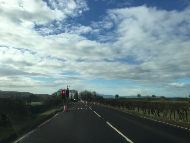
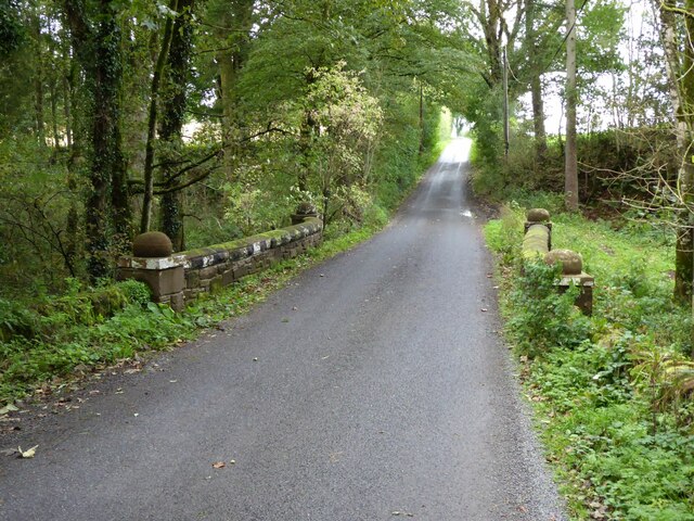
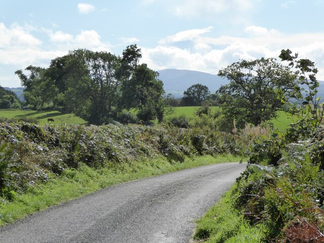
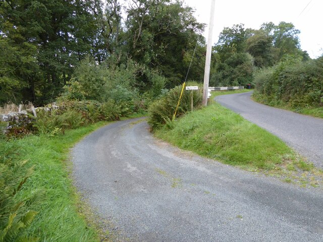
Amisfield Moor Images

Images are sourced within 2km of 55.140332/-3.5652103 or Grid Reference NY0084. Thanks to Geograph Open Source API. All images are credited.

Rowing up Getting in the silage off Blairhall Lane near Amisfield.
Rowing up
Getting in the silage off Blairhall Lane near Amisfield.
Roadworks on the A701 at Johnfield
A701 towards Dumfries
Lodge to Riddingwood House In Nithsdale.
Lodge to Riddingwood House
In Nithsdale.
Parkburn Bridge Surprisingly over the Park Burn!
Parkburn Bridge
Surprisingly over the Park Burn!
The road to Locharbriggs With Criffel in the distance.
The road to Locharbriggs
With Criffel in the distance.
Abutments from disused railway near Amisfield Amisfield railway station was a station which served Amisfield, in the Scottish county of Dumfries and Galloway. It was served by trains on a local line which ran between the Caledonian Main Line (now known as the West Coast Main Line) at Lockerbie and the Castle Douglas and Dumfries Railway at Dumfries.
Abutments from disused railway near Amisfield
Amisfield railway station was a station which served Amisfield, in the Scottish county of Dumfries and Galloway. It was served by trains on a local line which ran between the Caledonian Main Line (now known as the West Coast Main Line) at Lockerbie and the Castle Douglas and Dumfries Railway at Dumfries.
The turning for Hazelrig South of Amisfield Tower.
The turning for Hazelrig
South of Amisfield Tower.
Country lane With profusion of poles!
Country lane
With profusion of poles!
New mown grass Starting off a field of silage near Amisfield.
New mown grass
Starting off a field of silage near Amisfield.
Blairhall Road, Amisfield
Lane near Amisfield
Lane near Amisfield
Harleyrigg Harleyrigg road-end.
Harleyrigg
Harleyrigg road-end.
Crossroads near Riddingwood House
A701 approaching junction at Amisfield Townfoot Looking north
A701 approaching junction at Amisfield Townfoot
Looking north
Site of Amisfield station, 1991 View SE, where the ex-Caledonian line used to cross, from Lockerbie (left) to Dumfries (right). The station had been closed from 19/5/52 and the line from 18/4/66, so little wonder it had been built over.
Site of Amisfield station, 1991
View SE, where the ex-Caledonian line used to cross, from Lockerbie (left) to Dumfries (right). The station had been closed from 19/5/52 and the line from 18/4/66, so little wonder it had been built over.
An entrance to Annfield
The Lodge on Blairhall Road
Show me another place!

Amisfield Moor is located at Grid Ref: NY0084 (Lat: 55.140332, Lng: -3.5652103)

Unitary Authority: Dumfries and Galloway

Police Authority: Dumfries and Galloway

What 3 Words

///bets.boxing.excellent. Near Locharbriggs, Dumfries & Galloway

Nearby Locations

Amisfield Moor

Related Wikis

Amisfield

Amisfield is a village in Dumfries and Galloway, Scotland. It is located about 5 miles north of Dumfries and next to the A701 Dumfries to Edinburgh road...

Amisfield railway station

Amisfield railway station was a station which served Amisfield, in the Scottish county of Dumfries and Galloway. It was served by trains on a local line...

Tinwald, Dumfries and Galloway

Tinwald is a village in Dumfries and Galloway, south-west Scotland, lying a little north of Locharbriggs outside Dumfries. Tinwald is also the name of...

Ae Bridgend

Ae Bridgend is a hamlet in the Scottish council area of Dumfries and Galloway next to the River Ae. It is located at an altitude of 96.9 meters above sea...

Nearby Amenities

Located within 500m of 55.140332,-3.5652103
Power: pole
Lat/Long: 55.1360786/-3.5647147
Power: pole
Lat/Long: 55.1369062/-3.563996
Power: pole
Lat/Long: 55.137772/-3.5632438
Power: pole
Lat/Long: 55.1386127/-3.562538
Power: pole
Lat/Long: 55.1394755/-3.5617935
Power: pole
Lat/Long: 55.1403442/-3.5619842
Power: pole
Lat/Long: 55.1412217/-3.5622031
Power: pole
Lat/Long: 55.1420992/-3.5623963
Power: pole
Lat/Long: 55.1429914/-3.5626307
Power: pole
Lat/Long: 55.1438674/-3.5628239
Power: pole
Lat/Long: 55.1438836/-3.56125
Power: pole
Lat/Long: 55.1377322/-3.56481
Power: pole
Lat/Long: 55.1377145/-3.565727
Power: pole
Lat/Long: 55.1375717/-3.5660155
Power: pole
Lat/Long: 55.1372787/-3.5665307
The data included in this document is from www.openstreetmap.org. The data is made available under ODbL.

Have you been to Amisfield Moor?

Leave your review of Amisfield Moor below (or comments, questions and feedback).